Route Overview
Region
Miles
Days Out
Recommended Tire Size
Season
Elevation Gain
Difficulty
5/10 Technical
Primary Surface(s)
~32% paved

Route Map
Route Details
The St. Joe Sampler is a scenic route connecting rail trails, backcountry roads, and spectacular views. Ride the Montana/Idaho State line high above the canyon before descending down to the Wild and Scenic St. Joe River.
Highlights include:
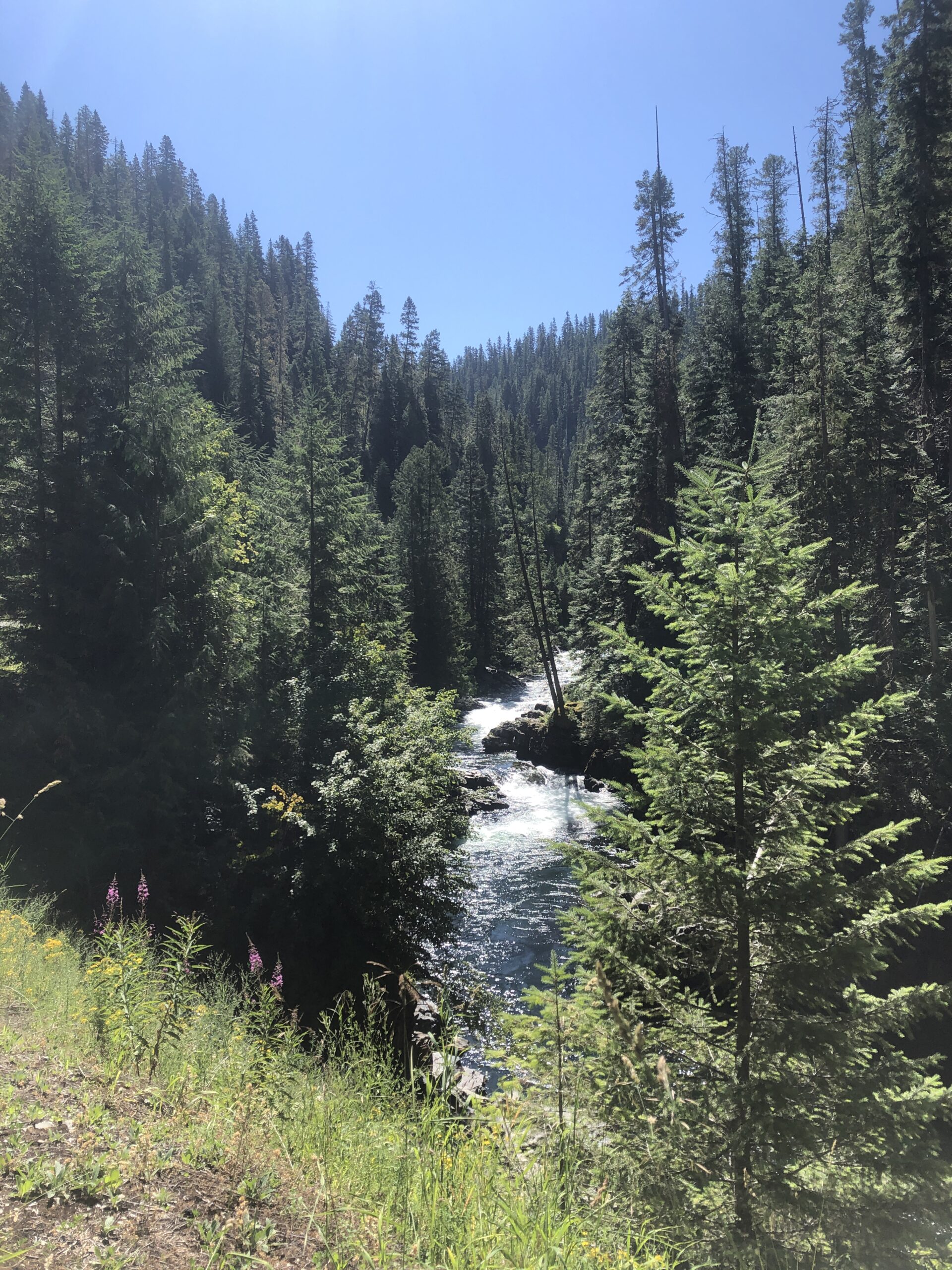
- The North Fork of the St. Joe River.
- Winding through the St. Joe River canyon.
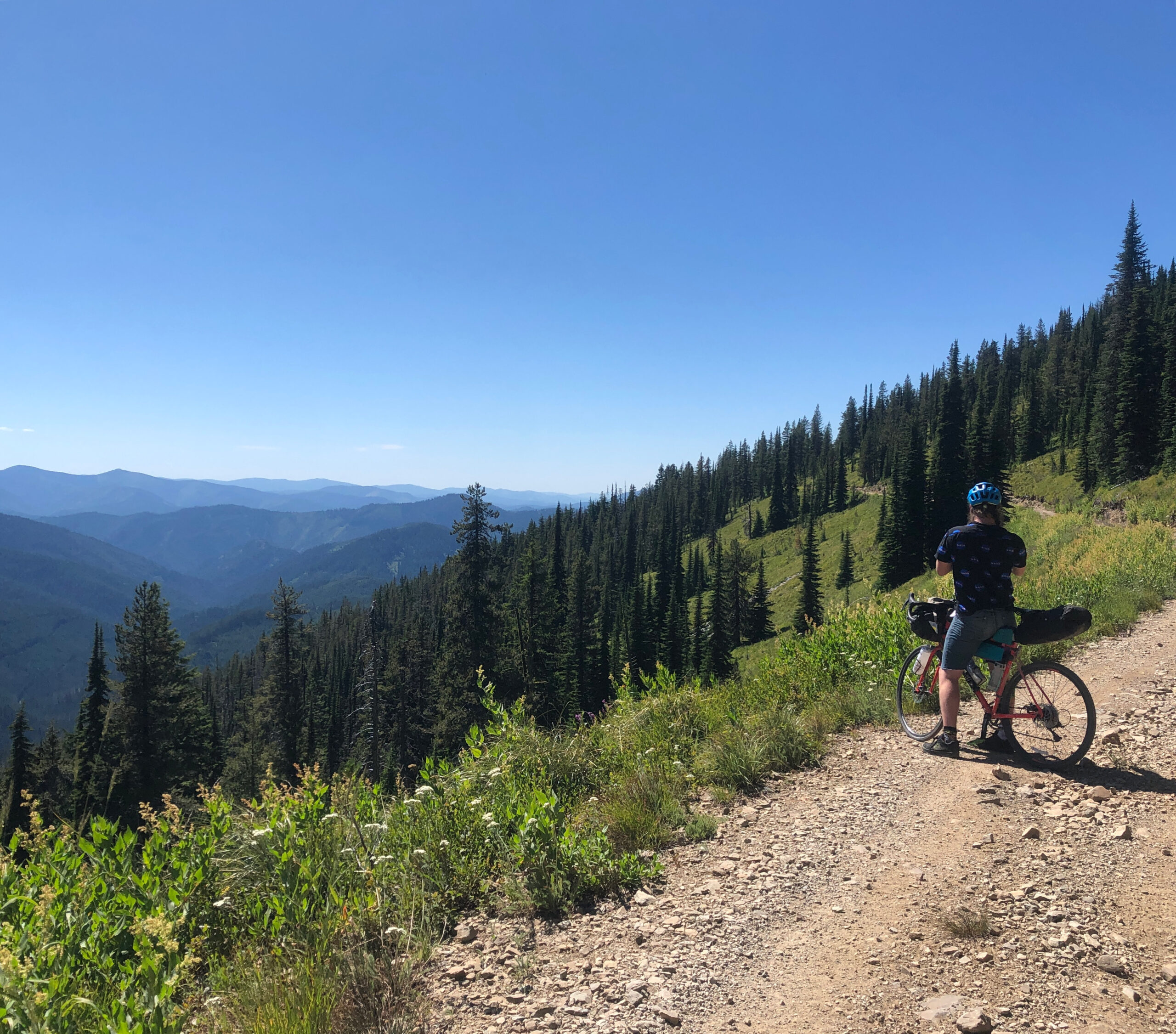
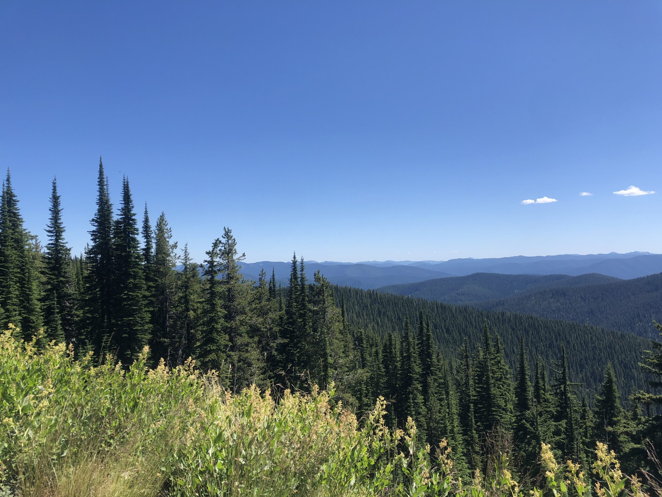
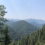
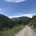
- Long mountain climbs with spectacular views of the Idaho Bitterroots.
- Huckleberry shakes in Wallace, Idaho.
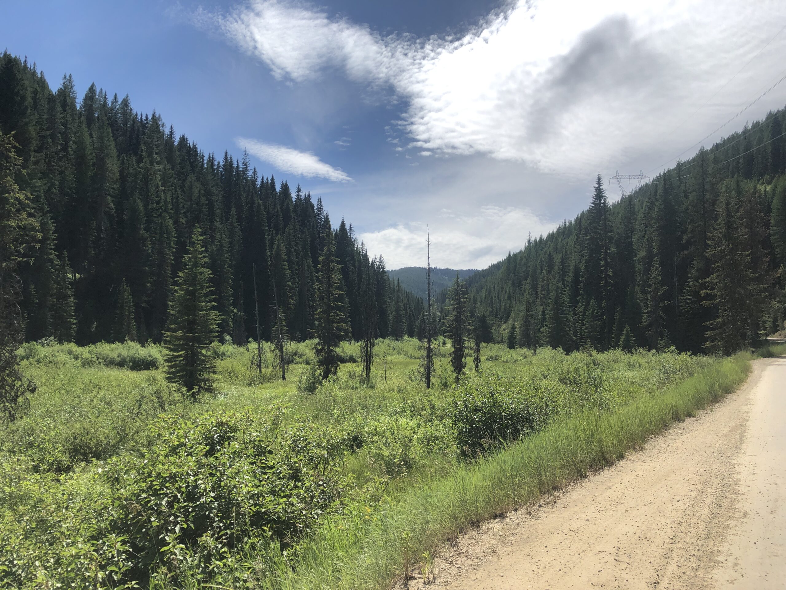
A route through the grandiose St. Joe National Forest, this sampler has it all. Best pedaled during the summer months, you’ll be treated to swaths of wildflowers early June and cooler temperatures in September. The rugged, tree capped mountains and clear waters of the St. Joe River offer a great adventure.
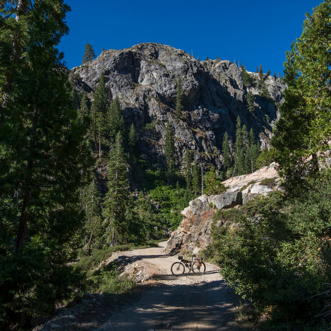
The riding surfaces vary along the loop. Expect smooth asphalt, dusty gravel, rocky double track, and if conditions are right a bit of wonderfully tacky dirt roads. Gravel bikes and hardtail mountain bikes are the optimal choices to ride this route. Due to some very chunky, steep descents, a flat bar is the most practical and comfortable.
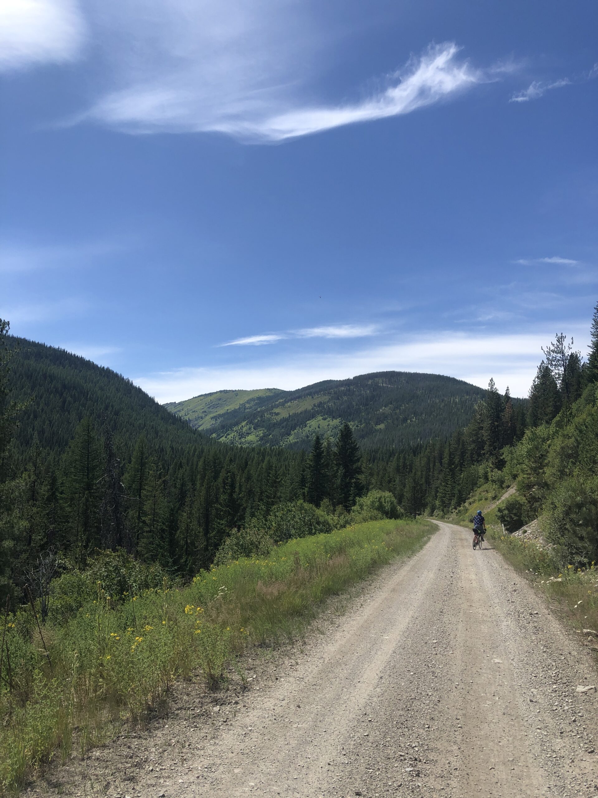
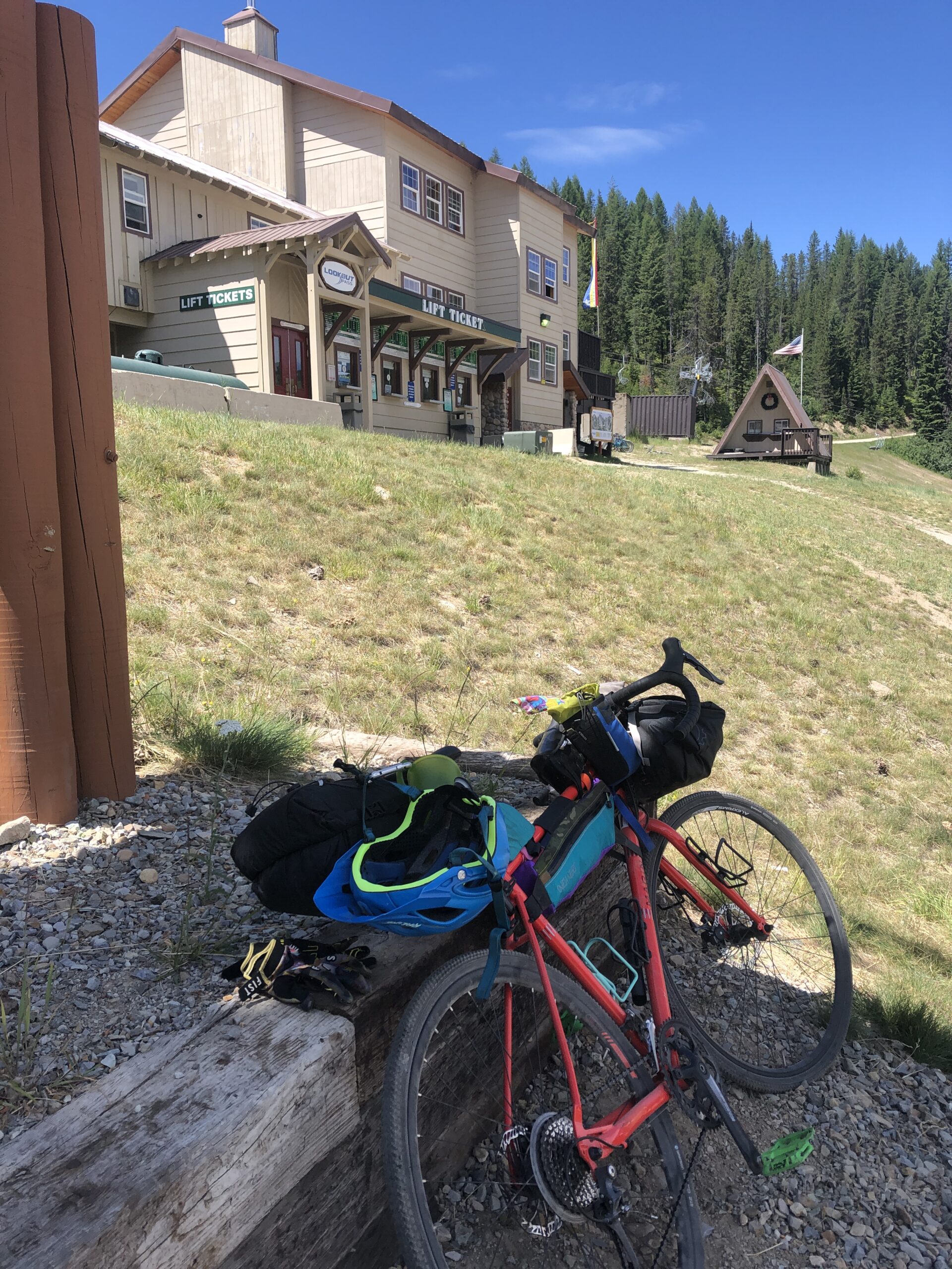
Starting in Mullan, Idaho, this route can be ridden in either direction. Heading west towards Wallace is a more ideal choice for the climbs ahead. The route begins on the Trail of the Coeur d’Alenes until heading off pavement up Moon Pass. Descend into the serene valley of the North Fork of the St. Joe River. This area makes for some great cowboy camping if you plan to ride a shorter day.
Leaving the North Fork, the route begins to climb a chunky section of forest road. The views of the Idaho Bitterroot Mountains are hard to beat. A long descent on similar terrain leads down to the St. Joe River and a long paved downhill through the curvy canyon to Avery. Avery is a small town with fly-fishing DNA. Full resupply is available, as well as overnight lodging and a small restaurant.
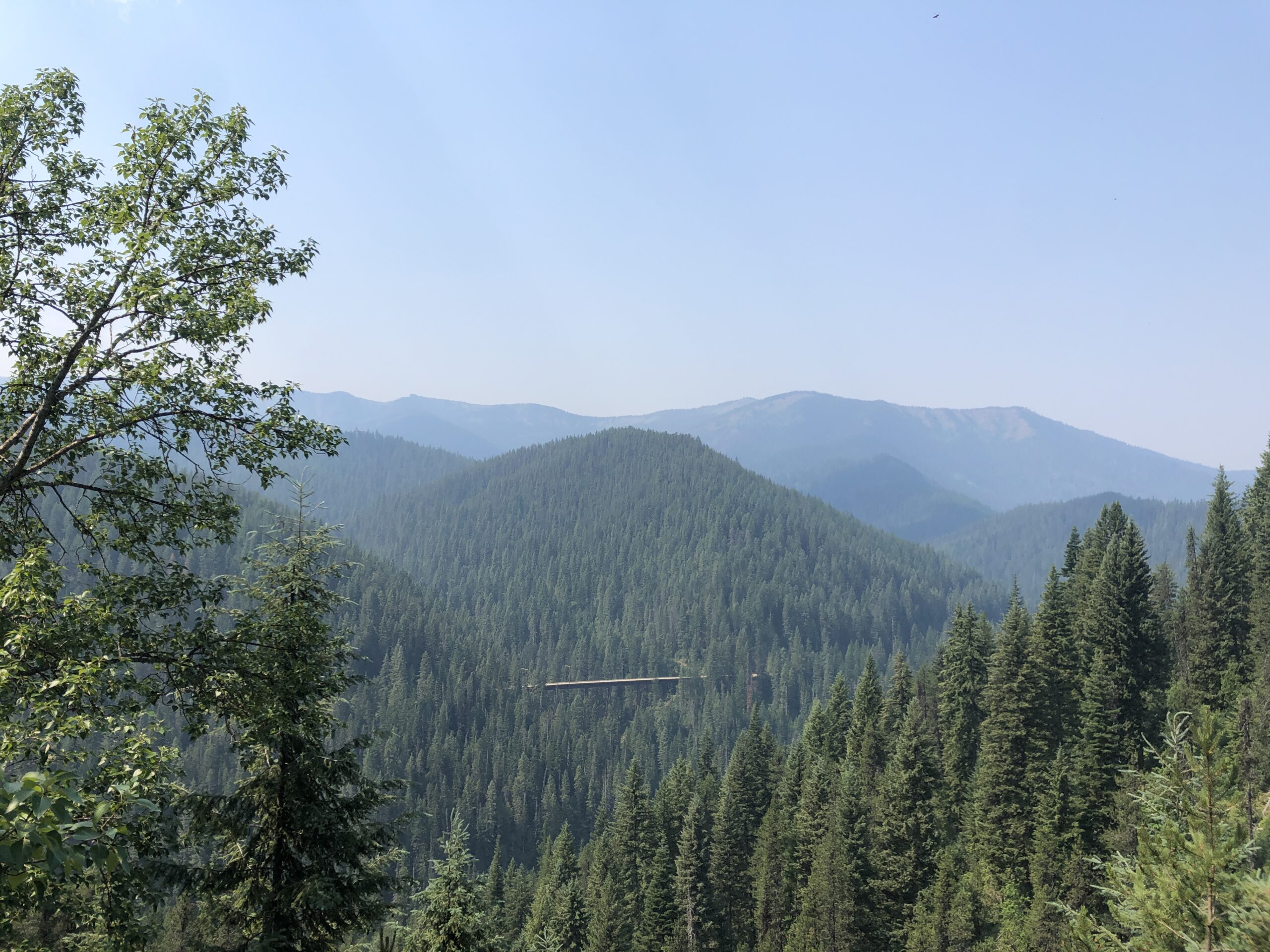
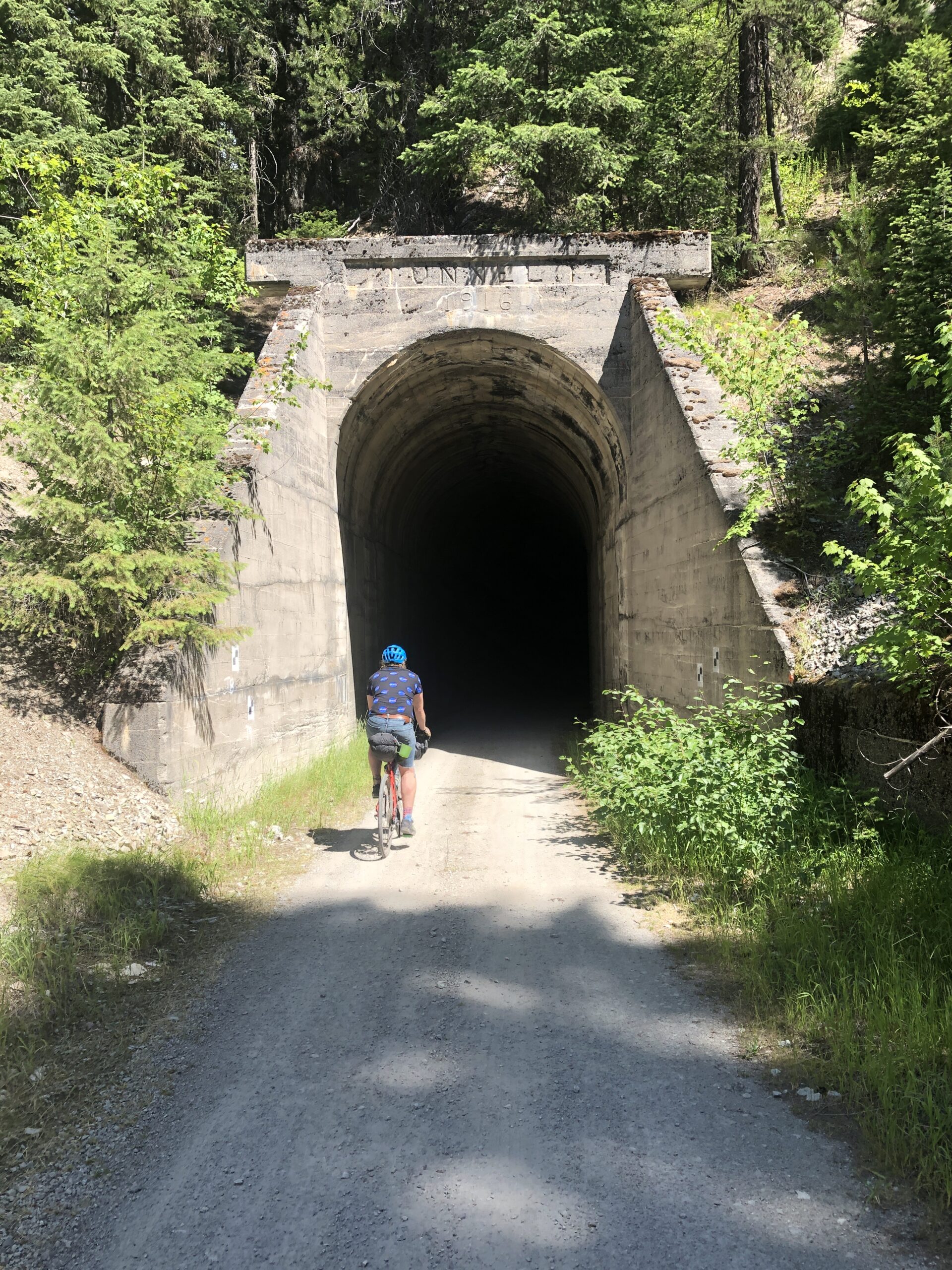
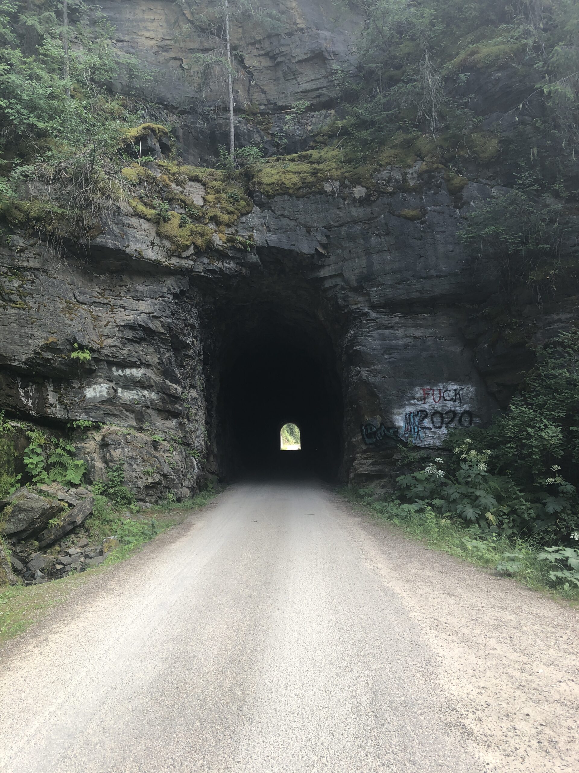
The route climbs out of Avery on the old Milwaukee line. This road turns into the Route of The Hiawatha. This stretch of rail bed can be busy during the summer months. Ideal to ride early in the morning or after 4pm. It offers a unique ride over trestle bridges and through tunnels. The Route of the Hiawatha can be adverted by taking an alternative parallel road over the mountain.
The St. Joe Sampler highlights the beauty that the Idaho panhandle has to offer. You can ride it in two days, but it is recommended to ride at a mellow pace to truly take in the area. A good alternative starting/ending point would be Wallace, Idaho.
- Paved: 32%
- Smooth Gravel: 20%
- Rough Gravel:35%
- 4×4 Road: 13%
- Singletrack: 0%
This route utilizes the Route of the Hiawatha: a gravel rail trail that features old train tunnels and trestle bridges. It is busy during the summer but really beautiful. Riders can route around this stretch if people aren’t your cup of tea. To avoid crowds, try to ride in the morning or after 4pm. You will need to purchase a trail pass to utilize the rail trail. The suggested direction of the route has the rider climbing the trail instead of descending.
The majority of the route is on US Forest Service land with plentiful dispersed camping options. A few of recommended camping options have been included as waypoints along the route.
This riding season for this route is summer to early fall. This is the window after snowmelt and before snowfall.
- Go directly to the main route on Ride With GPS.
- For more information about the Route of the Hiawatha, visit: https://www.ridethehiawatha.com/
Joe Riemensnider developed and stewards this route. Here’s a little about Joe in his own words: “I’ve been guiding and touring on both dirt and asphalt for the past eight years. I own a small outfitting shop in Missoula called Spotted Dog Cycles. We run tours, rent bikes and gear, and providing bikepacking consulting. I’ve worked with many folk to provide trip planning and on route support.
Over the past 10 years I’ve put together many routes in the PNW, Upper Midwest, and Utah that I’ve ridden with friends. Anything from multi-transportation road tours to backcountry bikeraft trips. Multi-sport is the bomb! I love being able to explore places further by adding a train or ferry section to a route. I think that multi-surface routes are great and from an accessibility standpoint I don’t believe bikepacking should be restricted to only backcountry dirt rides.
I am located about 90 miles from the start of this route. I’ve guided in and near the Idaho Bitterroots for many years. I wanted to build a loop route that had rewarding climbs, beautiful scenery, and featured some of northern Idaho’s unique rail trails. It is such a beautiful area that is easily accessible to many levels of riders. I spend quite a bit of time in this area and plan to frequent sections of this route at least once a summer at minimum.“
Joe has offered to be available to answer questions if you are planning a trip on this route.
Please also get in touch with any updates on route conditions that may be relevant to other riders.
Please submit your questions and comments on the route via the contract form below.
This route traverses the traditional lands of the Schitsu’umsh (Coeur d’Alene), Cayuse, Umatilla, and Walla Walla people.