Route Overview
Region
Miles
Days Out
Recommended Tire Size
Season
Elevation Gain
Difficulty
3/10 Technical
Primary Surface(s)
~50% smooth gravel
Route Map
Route Details
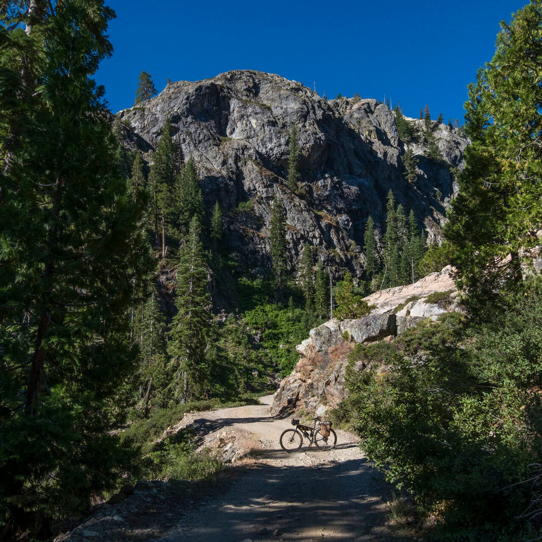
- Remote, hilly and well-maintained gravel roads that wind and flow across rugged terrain around Virginia’s highest peaks. Virginia highland terrain ranges from 2,200-4,200 feet.
- Exploring an undiscovered corner of Virginia with almost no heat on the Strava map before this route was created!
- The Virginia Creeper Trail’s high point in Whitetop, VA.
- The 1906 Historic Courthouse and Museum in Independence, VA.
- Relaxing along the New River in Fries, VA.
- Comer’s Rock USFS campground at 3,800 feet.
- Experiencing a historic region of bluegrass music and local jam sessions.
- Options to intersect with the TransVirginia bike route and create extended excursions utilizing the Virginia Creeper and New River Rail Trails.
Experience a network of connected, well-maintained gravel roads that take you through the region’s past and present. As one journalist recently stated, riding this route is “time travel with a view.” The route’s hills and occasional steep grades are not to be underestimated, but offer “So much unspoiled land in Southwest Virginia, with so much life teeming beneath the quiet forest canopy and the bucolic fields. Clear mountain creeks tumbling noisily through dark rhododendron groves, mist rising from deep hollows, and long-range views so gorgeous they make you gasp.”
Given the higher elevations the route reaches, the best riding season is April through October, but early spring or late fall could bring freezing temps or snow in the mountains. Spring colors usually peak in late April, and fall foliage in October. Summer months bring warm weather, though much of the route is shaded and benefits from the cooler temperatures that come with higher elevations compared to other parts of Virginia.
Expect to be challenged by constant ups and downs, some with steep grades. Bring a bike with low gearing and fresh brake pads. There are no bike shops along the route, so plan to be self-sufficient with tools and spare parts. The Grayson Highlands Inn has basic bike parts and supplies available for hikers & cyclists.
Overnight options exist in a variety of types of lodging, from rural guest houses and Appalachian Trail (AT) Hiker Hostels to hotels to Airbnb. Private campgrounds exist along the southern half of the route, with options for public camping in the National Forest on the northern part, as shown on the RWGPS route.
Resupply and water are found frequently on the loop, as the route connects a network of country stores. Services are slightly less available on the northern half of the loop, so be sure to stock up in Elk Creek on Rt. 21; afterward the route climbs to higher elevations. Troutdale is slightly off route, but offers various AT hiker hostel options. Call ahead to confirm open hours for any critical services.
- Paved: 53%
- Smooth Gravel: 47%
- Rough Gravel: 0%
- 4×4 Road: 0%
- Singletrack: 0%
This circuit has been developed to create a loop option based on the 72-mile Grayson Gravel Traverse. The Grayson Gravel Traverse connects two rail trails across the length of Grayson County: the Virginia Creeper Trail (34 miles from Abington to Whitetop), and the New River Trail (45 miles from Fries to Pulaski). Longer trip itineraries can be made to utilize these car-free trails that offer camping and services along the way.
Parking
The parking area at Whitetop on the Creeper Trail (western end) and the New River Trail State Park lot in Fries (eastern end) work well for long-term parking.
The town of Damascus also offers free long-term parking by the public library for those wishing to extend their trip along the VA Creeper Trail. There is a form for long term parking that can be found here.
-
- More detailed planning information is available at https://www.graysoncountyva.com/business/grayson-gravel-traverse-bike-route/
- Here is a great write-up about a trip on the route by Ben Carpenter for Rodeo Adventure Labs: Cycling as Sustainable Tourism: The Grayson Gravel Traverse – Rodeo Adventure Labs, LLC (rodeo-labs.com). Ben also has a great photo journal about the trip on his personal website: The Highlands — BEN CARPENTER (bvcarpenter.com).
- Mountain Road produced a blog post about their ride and the route here: https://mountain-road.com/blog/gravelride-graysontraverse
David Landis created and stewards the Grayson Gravel Circuit, which is based upon the Grayson Gravel Traverse.
Here’s a bit about David in his own words: “My family and I live in the Shenandoah Valley in Harrisonburg, VA. I’ve been developing hiking and cycling routes for over 15 years, a passion, and career path that I fell into while living in the Middle East after an extended period of international travel. After a decade overseas, I returned to my hometown in Virginia and began exploring the area by bicycle, seeking roads that stretched farther into the vast public lands and forests in the region. In 2017, I toured the Great Divide, which sparked the idea to start mapping the TransVirginia route from DC to Damascus to highlight the great riding in my backyard and create an experience that would connect diverse communities across the state. From this initial route, I’ve worked to develop a network of connected bikepacking routes throughout VA and WV around various geographies and themes.”
The Grayson County Tourism office is available to answer questions if you are planning a trip on this route, and David can answer any specific route related questions.
Please also get in touch with any updates on route conditions that may be relevant to other riders.
Please submit your questions and comments on the route via the contract form below.
This route traverses the traditional lands of the Cheraw, Moneton, Yesan, S’atsoyaha, and Tsalaguwetyi people.


