Route Overview
Region
Miles
Days Out
Recommended Tire Size
Season
Elevation Gain
Difficulty
3/10 Technical
Primary Surface(s)
~25% smooth gravel
Route Map
Route Details
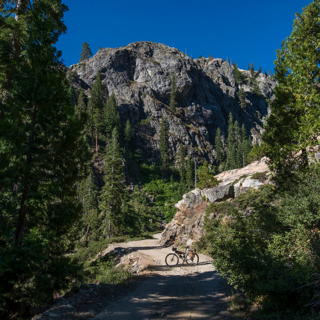
Pisgah Paddler is a beginner-friendly bikerafting loop consisting of a ride through Pisgah National Forest and a float along the French Broad River. Ideal for a 1, 2, or 3 night ride with camping options both off trail and off river. The mostly-gravel route contains steep climbs, winding descents, minor fords, a short hike-a-bike, singletrack, two breweries, and a short ride through the town of Etowah. Paddle-in only campsites are available along the French Broad River Paddle Trail, and plenty of dispersed camping can be found throughout Pisgah National Forest. The packrafting section of this route is primarily flat water, perfect for gaining experience.
Highlights include:
- Relaxing and remote stretches of the French Broad
- Sideways Farm & Brewery
- Karolina Kremes ice cream stand
- Ospreys, Mallards, Herons, and Bald Eagles
- Riverside paddle-in-only camping
- Sierra Nevada’s Lower Park
The first section follows Yellow Gap Road through Mills River Campground, to the beginning of Bradley Creek Road. Be sure to fill up your water at one of the springs along Queen Creek Mountain before beginning the descent.
Enjoy a little single-track and hike-a-bike before the final ford across Mills River to Turkey Pen Gap trailhead. The ride down Turkey Pen Road to Bolston Highway 280 is the last chance to fill up on creek water for the float ahead. Take Brickyard Road into the town of Etowah and swing by Sideways Farm and Brewing. Other resupply options include Dave’s Dogs, Karolina Kremes, El Bronco Mexican, Blue Ridge Pizza, and Ingles. It’s about one mile from Ingles to the Horse Shoe River Bend Access.
Expect the nine mile paddle from put-in to Mud Creek Campsite to take about three hours depending on river flow. Despite it’s lazy nature, this section of the French Broad has enough sweepers and strainers to warrant attention throughout the float.
From Mud Creek it’s 4.5 miles to Sierra Nevada Brewing’s Lower Park, accessible from the river, and equipped with with their Taproom food truck and beer trailer. Lower Park is not always open, so confirm before heading out. Depending on water levels, expect some Class 1 rapids as the takeout at Bent Creek River Park approaches.
Continue by bike up the Blue Ridge Parkway before dropping into Bent Creek for some smooth rolling gravel. A quick detour through the North Carolina Arboretum can make for a great lunch stop, admission is free. The route finishes with a climb up Bent Creek Road, under the Blue Ridge Parkway, and one final grin-inducing descent down Wash Creek Road.
- Paved: 20%
- Smooth Gravel: 25%
- Rough Gravel: 5%
- Water: 45%
- Singletrack: 5%
Overnight parking is available at multiple spots along Wash Creek road in Mills River. If a flat water shakedown is needed, the Hendersonville Reservoir is just a 2 mile ride down from the Trace Ridge trailhead.
Campsite reservations are required Mud Creek and Firefighter Island at a cost of $10 per person. Firefighter Island is closer to the take out at mile 39. Reservations and other information are available on the French Broad River Paddle Trail website.
If you’re planning on moving at a more relaxed pace, the trip can be split up into multiple nights. There is great camping on South Mills River before you climb up to the Turkey Pen trail head and into Etowah and then two campsite options on the French Broad if you wanted to split up the float into two nights.
Resupply options exist in Etowah and Seirra Nevada (if lower park is open). Bring a water filter.
- Go directly to the main route page on Ride With GPS.
- Rockgeist also hosts a page for the route here.
Ryan Stoyer developed and photographed the Pisgah Paddler. Ryan is a thru hiker-turned-bikepacker with a soft spot for seldom seen places. He lives in Ellijay, Georgia, where he makes original tea blends and handmade stoneware under his brand, Bonsabi. He rides a Salsa Fargo.
Rockgeist (rockgeist.com) manufactures bikepacking gear in Asheville, NC and is dedicated to expanding the boundaries of your bicycle travel. This route is part of their route library (https://rockgeist.com/routes/) that focuses on short and accessible East Coast bikepacking routes. Greg Hardy, owner of Rockgeist, is committed on behalf of the Rockgeist team to ongoing stewardship of this route.
Rockgeist has offered to be available to answer questions if you are planning a trip on this route. We encourage you to be respectful of Route Stewards time though and to review publicly available materials first before reaching out with questions.
Please also get in touch with any updates on route conditions that may be relevant to other riders.
Please submit your questions and comments on the route via the contract form below.
This route traverses the traditional lands of the Miccosukee Territory.


