Route Overview
Region
Miles
Days Out
Recommended Tire Size
Season
April depending on snow pack.
Elevation Gain
Difficulty
3/10 Technical
Primary Surface(s)
~40% smooth gravel
Route Map
Route Details
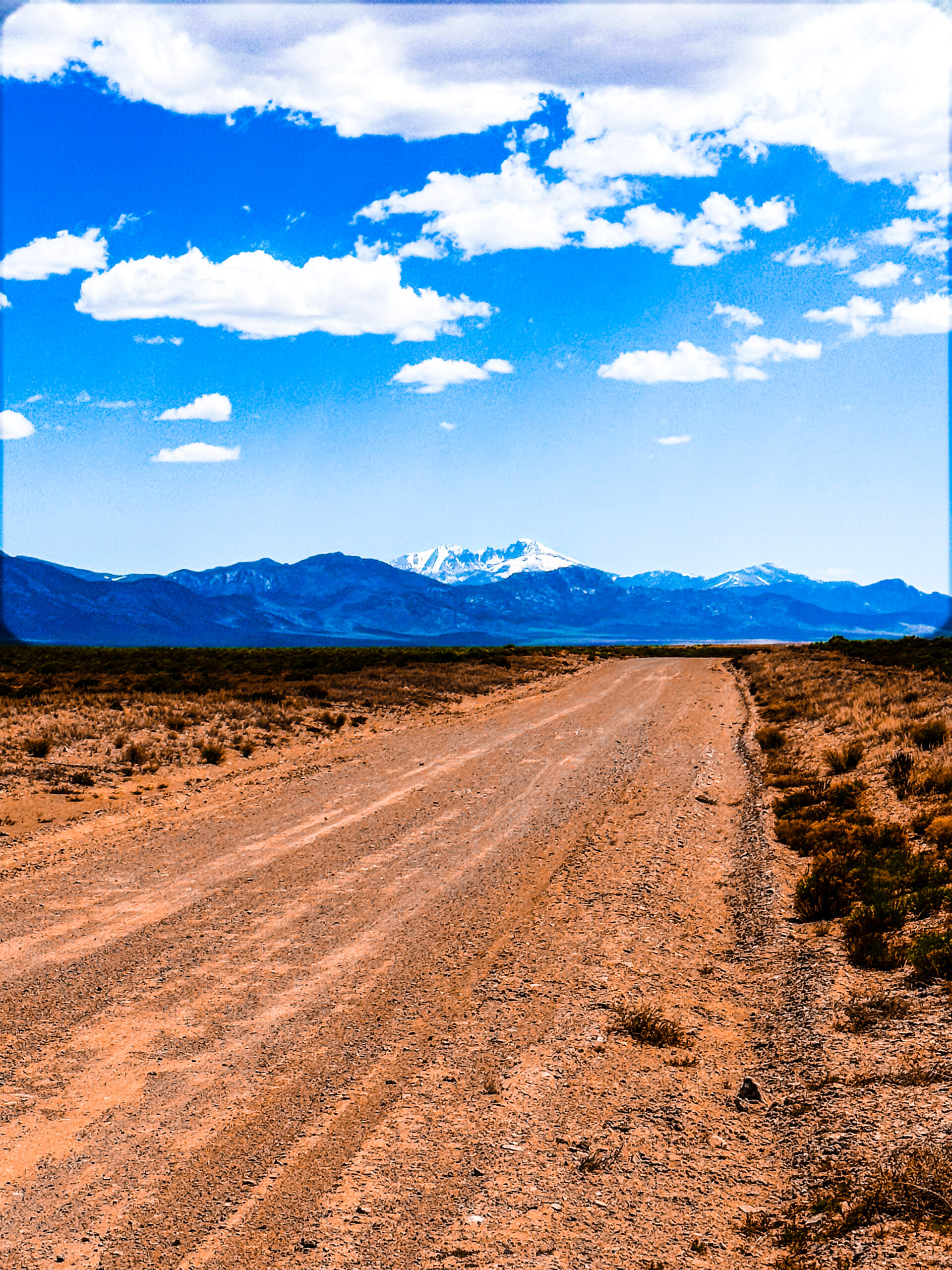
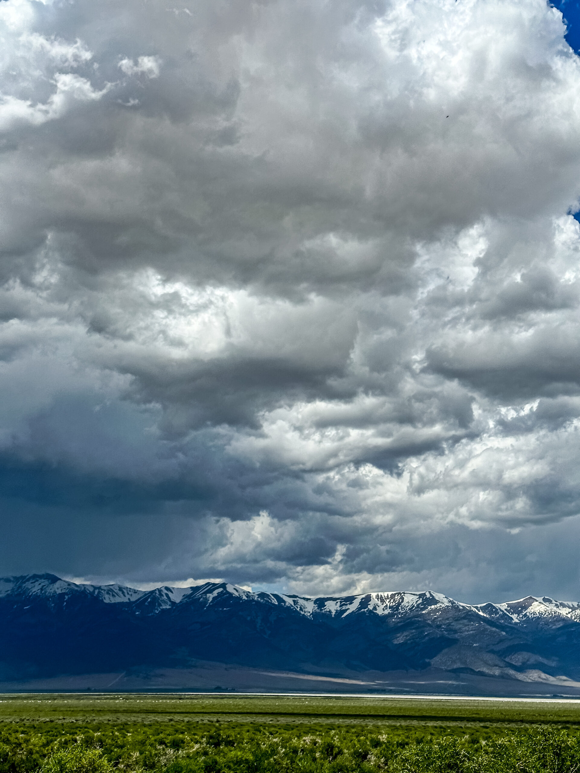
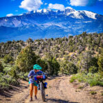
Prepare to have your perception of Nevada forever transformed. Brace yourself for high alpine passes reaching 9,000 feet, vast desert basins, and landscapes reminiscent of the stunning vistas found in Kyrgyzstan. This adventure will redefine how you see the Silver State.
Kalamazoo Summit, Cave Lakes, Wheeler Peak all are amazing on this route.
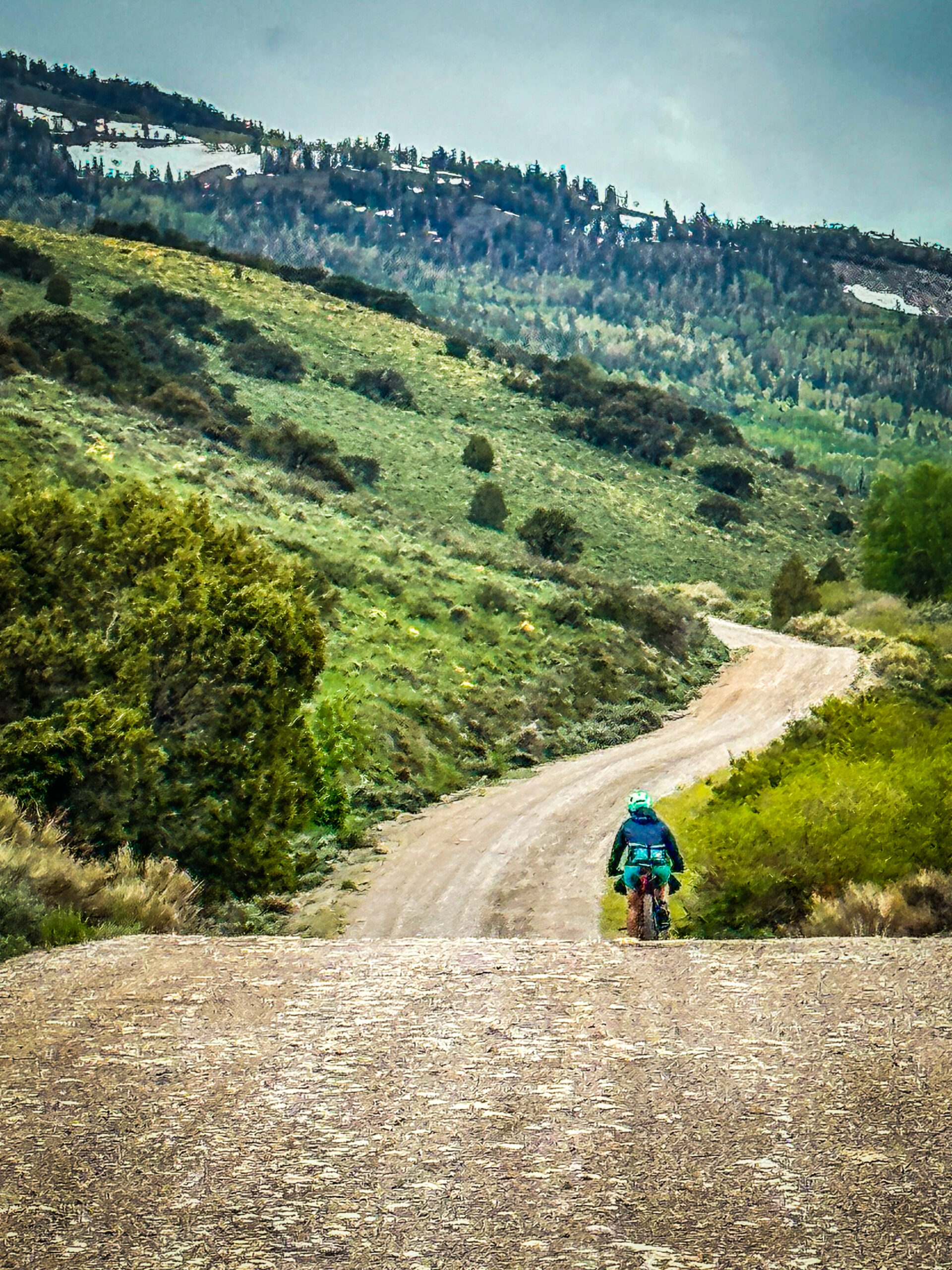
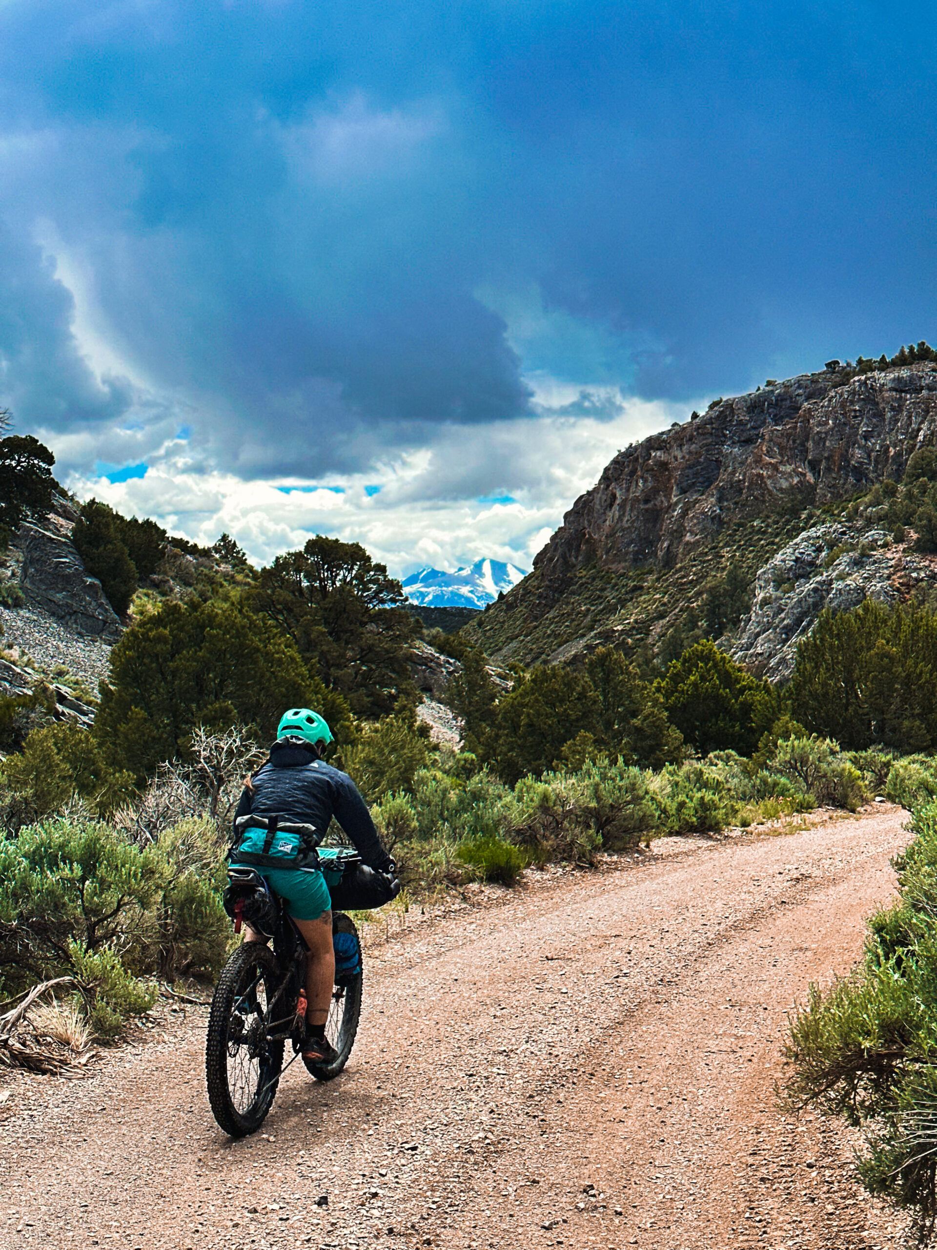
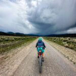
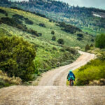
Schell Kick Your Ass is a counterclockwise bikepacking loop that starts at the top of Sacramento Pass, just north of the breathtaking Great Basin National Park. The starting point offers plenty of dispersed camping where you can safely leave your car and set off on this epic 125-mile journey. Prepare for an initial challenge right from the outset – a demanding 1,700′ climb with the majestic Wheeler Peak presiding over the landscape. Conquer this ascent to reap the rewards of an exhilarating descent down Dry Canyon, guiding you towards the picturesque Spring Valley. The initial descent down Dry Canyon is a steep and crumbly downhill that will test your skills. The real thrill is once the gradient mellows out into a flowy 2,700 descent over 7 miles through thousands of grasshoppers daring to challenge your path. Dry Canyon is a hidden gem with plenty of opportunities to replenish your water supply, especially during the early spring. Make the most of this oasis, as your next chance for resupply lies 40 miles ahead at the base of Kalamazoo Pass.
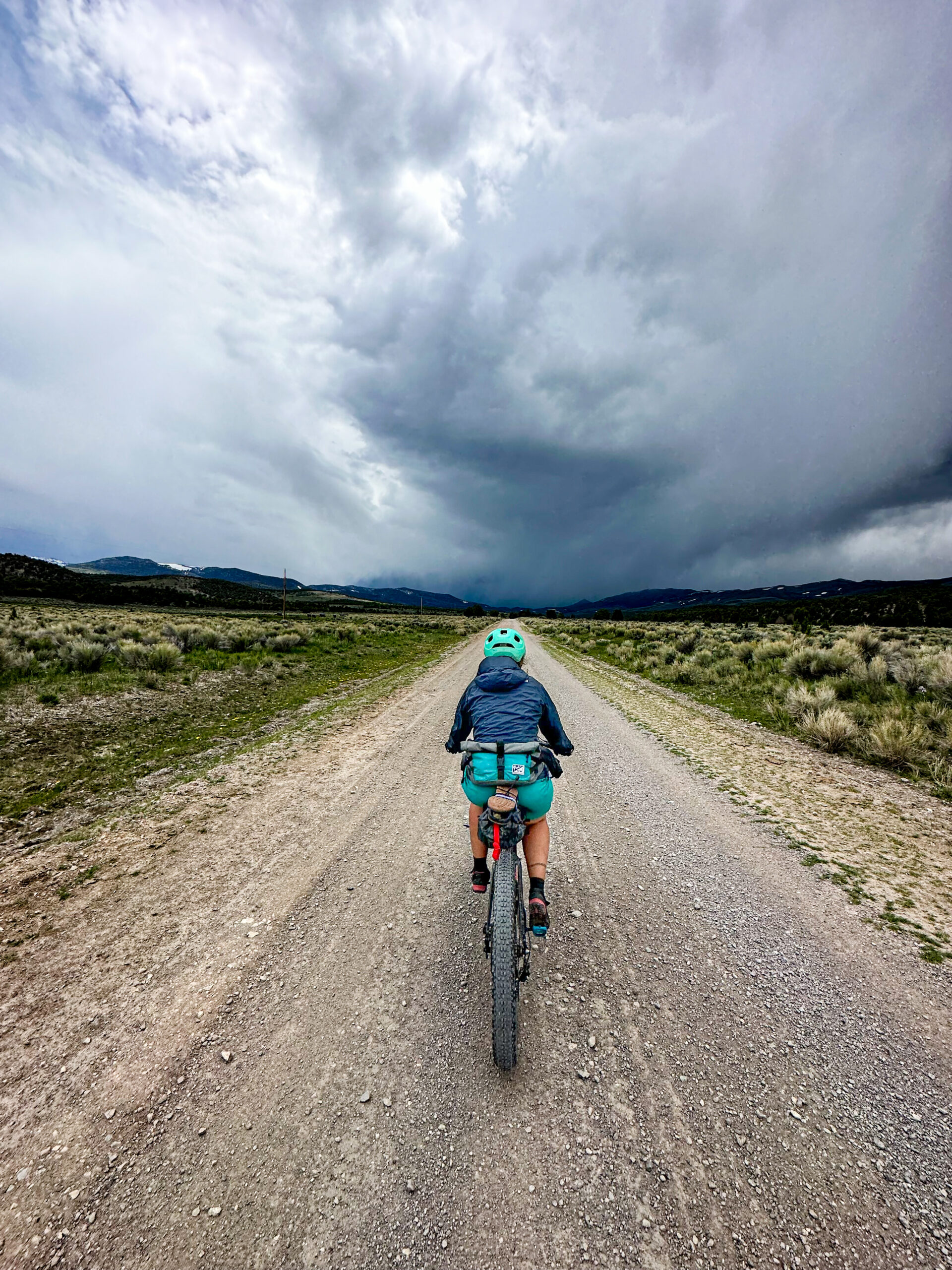
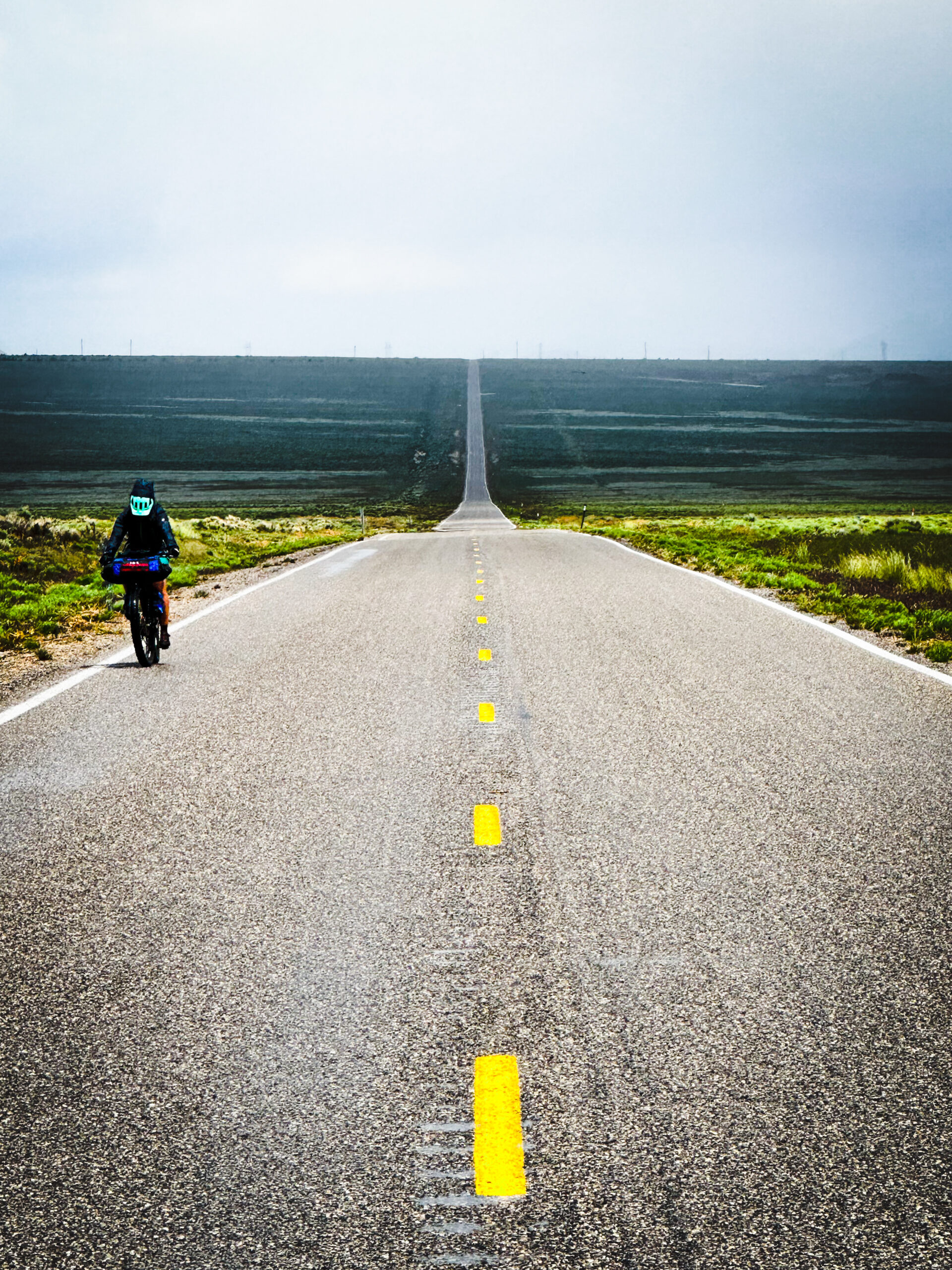
Traveling north through Spring Valley, White Pine County Road treats you to Nevada’s desert at it’s finest. This section is a true delight for gravel grinders, offering smooth double track gravel. As the road veers west, you’ll encounter a convergence of gravel and pavement. For those embarking on a journey of three days or more, the paved road serves as a sign that you are only 5 miles away from the first official campsite equipped with tables, a pit toilet, and grill stations. Additionally, it signals the last challenge of the day with a 1000′ climb.
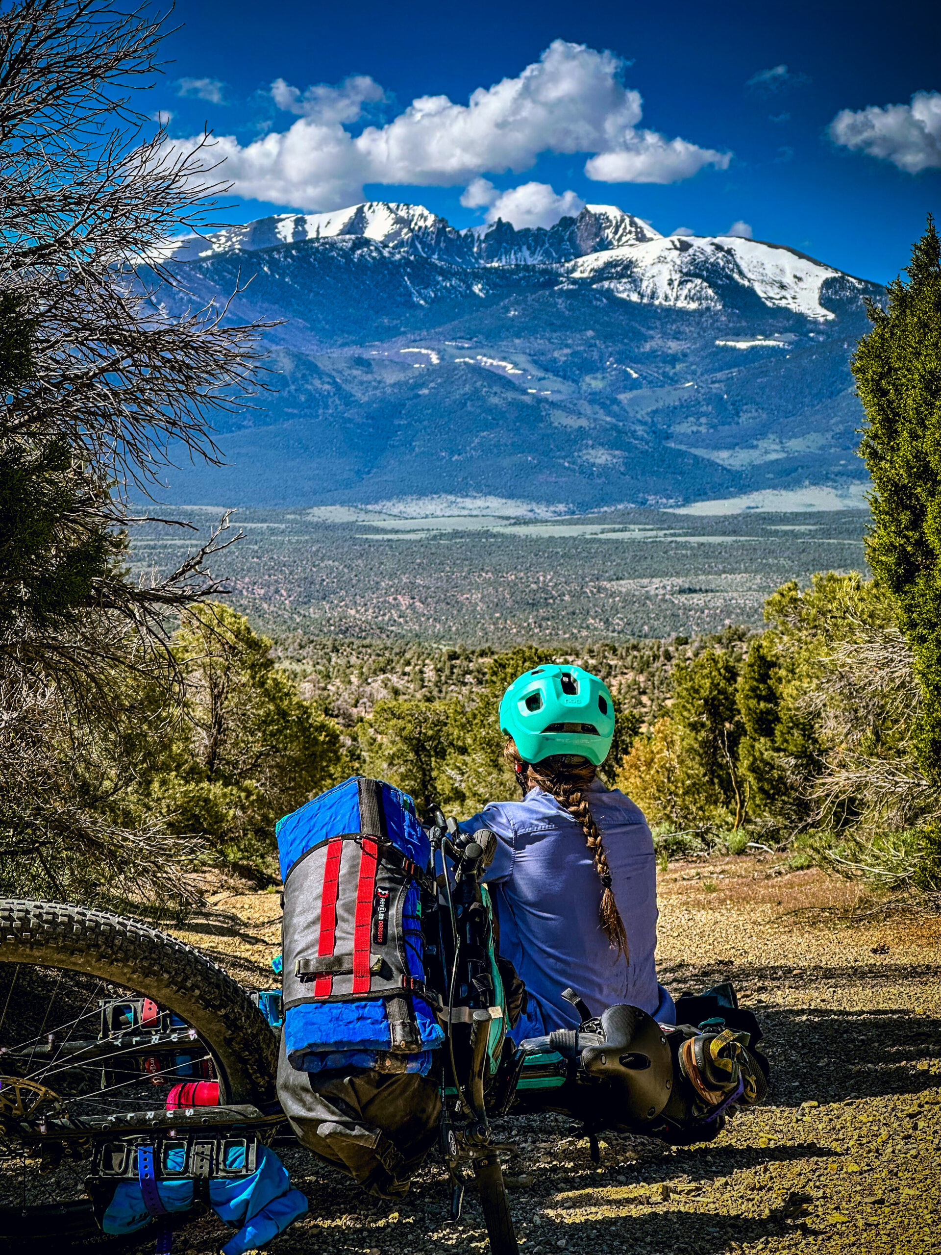
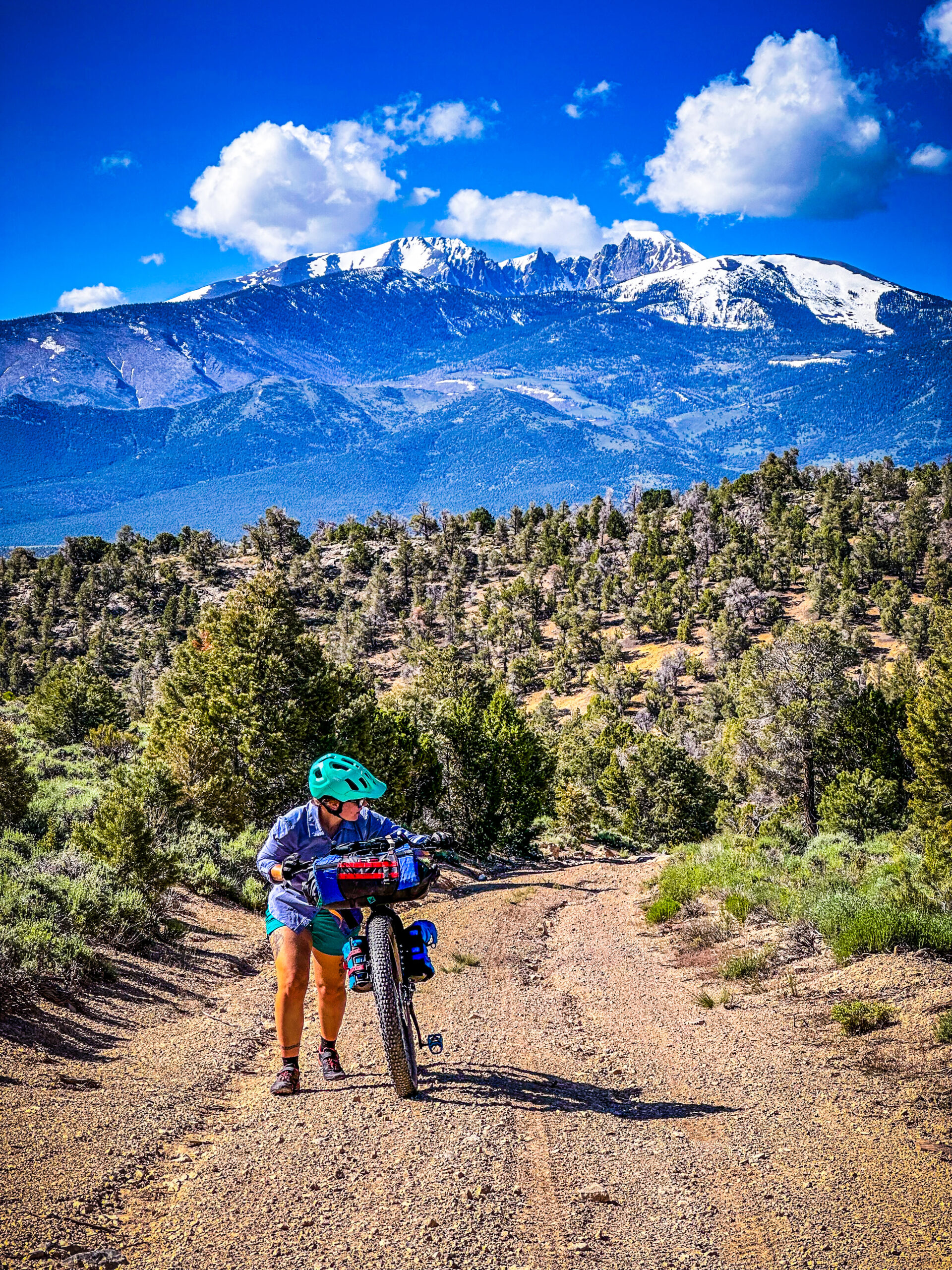
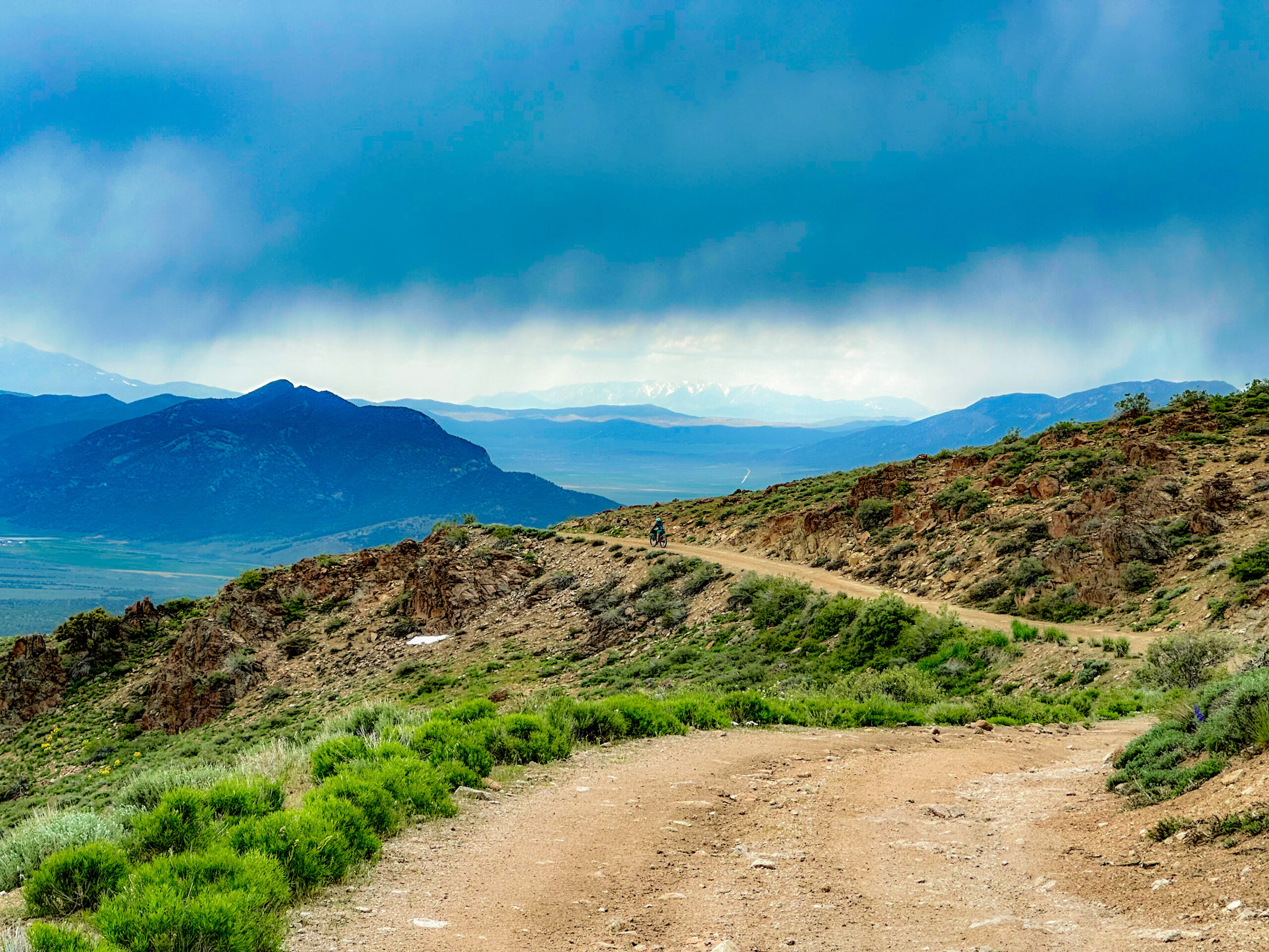
The Kalamazoo Summit presents an impressive climb of 2,300′ spread across 5.5 miles. Undoubtedly, this section stands out as one of the route’s highlights, offering breathtaking vistas and exhilarating high alpine riding. Notably, during the spring months, water resupply won’t be an issue, as the road runs parallel to the river for most of the way up. Don’t forget to consult the snowtel in this region, as there may still be significant snow cornices present. The summit provides magnificent vistas of the concealed valley to the east of Ely, Nevada. If you plan your ride during springtime, you’ll witness the hills adorned with vibrant yellow flowers. The 2,400′ descent, spanning 8 miles, offers an epic experience on the best 4×4 road I’ve ridden in years.
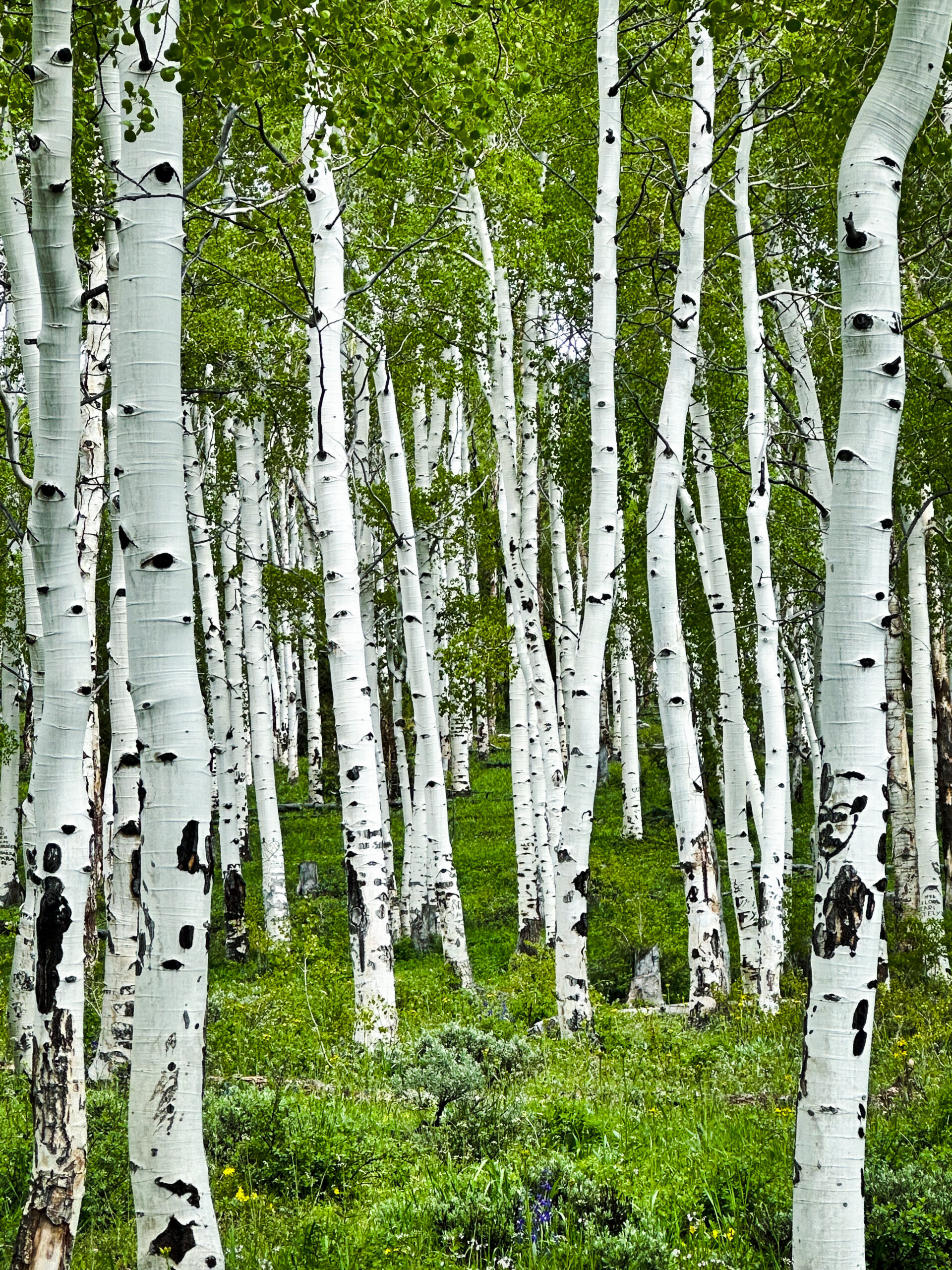
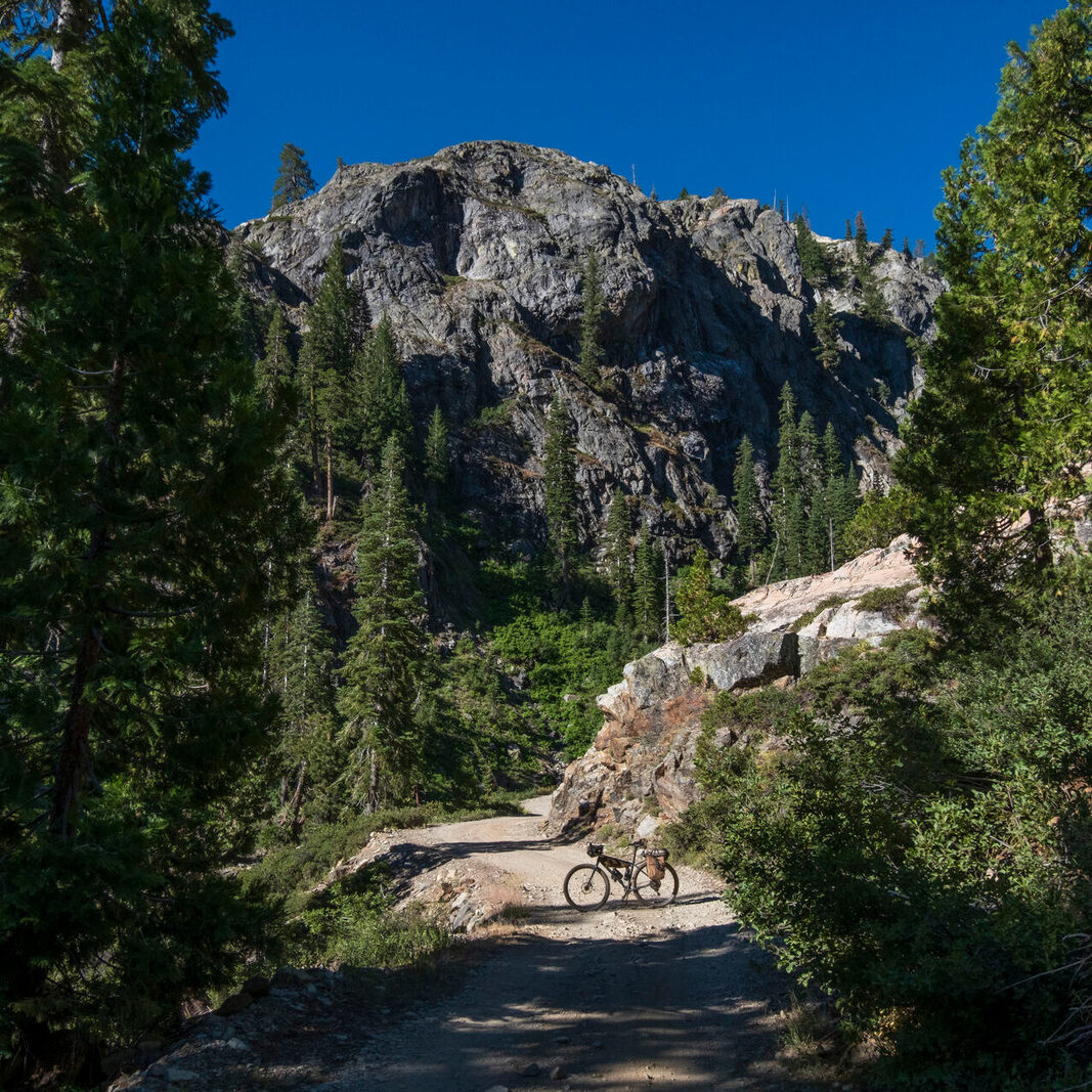
Enjoy the fleeting moment of pavement along Success Summit Road, for it will quickly give way to gravel as you head south towards Cave Lakes, accompanied by a challenging 2000′ climb. This scenic road takes you through stunning Aspen groves, adding to the beauty of your journey. The prospect of reaching the end with hot showers and well-established camping facilities should serve as a great motivator. Exiting Cave Lakes, brace yourself for another 1,400′ climb over 5 miles. However, the reward that awaits you is yet another epic and flowy descent. Depending on the time of year, you may encounter numerous river crossings, ensuring ample water resupply along the way. The end of this section brings you to the wind turbine farm and pavement that will connect to Great Basin Highway. If you’re in need of emergency resupply, there’s a gas station called Majors Place due West on Great Basin Highway.
Proceed along Great Basin Highway, which will lead you to the last major climb of the route, just shy of 2,000′. As you traverse the final section of this dirt road, it will guide you to a cattle fence. Please remember to close the fence behind you as you reach the starting point of the loop atop Sacramento Pass.
- Paved: 15%
- Smooth Gravel: 35%
- Rough Gravel: 5%
- 4×4 Road: 45%
- Singletrack: 0%
This route is a six-hour drive from Salt Lake City but feels otherworldly.
A few notes to keep in mind while on the route:
- There is a fence that needs to be closed when you get back to highway 6.
- Cave Lake is being restored so there’s no lake water, however that campground has spigots.
- Towards the end of the route, there’s a highway section (Highway 6) that’s just shy of 6 miles. Red rear safely lights recommended to increase visibility.
Additional logistics information can be found on the route’s RWGPS page.
- Go directly to the main route on Ride With GPS.
- Follow Patrick Hendry on Instagram
- Get a feel for the route with this YouTube video that Patrick created.
This route was created and is stewarded by Patrick Hendry. Patrick is an avid bikepacker based in Park City, Utah. Here is a little about Patrick in his own words:
“My love for bikepacking boils down to the love of solitude on long and isolated dirt roads. After a self-supported bike tour across the USA in 2009, and two larger bike tours with my pup in tow – adding up to roughly 11k miles, my yearning for less pavement turned to dirt and the bike setup followed suit. Bikpacking revolutionized my life and I still live by the notion that “the road will always provide.” My main focus for the bikepacking community is route development, website development – including the new Bikepacking Roots site, Utah Bikepackers Facebook group administrator, The Bikeraft Guide contributor, and open-source creative commons photography on Unsplash. Stoked to be a part of the community! Throw me an email anytime you’re looking for a dirt partner. Cheers!”
His personal website can be found at pathendry.com
Patrick has offered to be available to answer questions if you are planning a trip on this route.
Please also get in touch with any updates on route conditions that may be relevant to other riders.
Please submit your questions and comments on the route via the contract form below.
This route traverses the traditional lands of the Newe Sogobia (Western Shoshone) and Goshute and Timpanogos people.