Route Overview
Region
Miles
Days Out
Recommended Tire Size
Season
Elevation Gain
Difficulty
4/10 Technical
Primary Surface(s)
Smooth Gravel


Route Map
Route Details
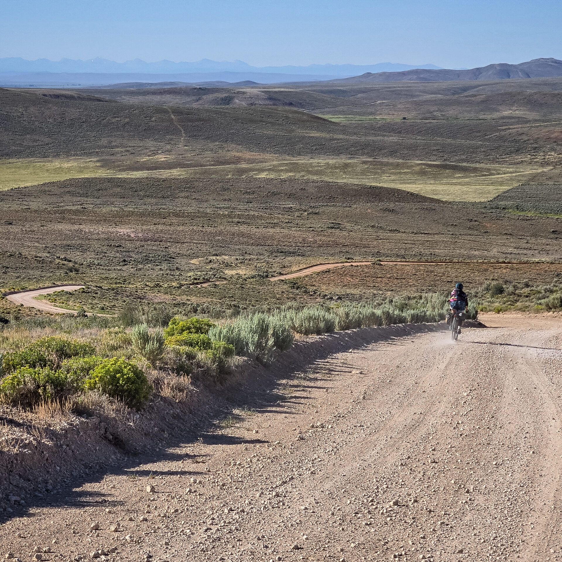
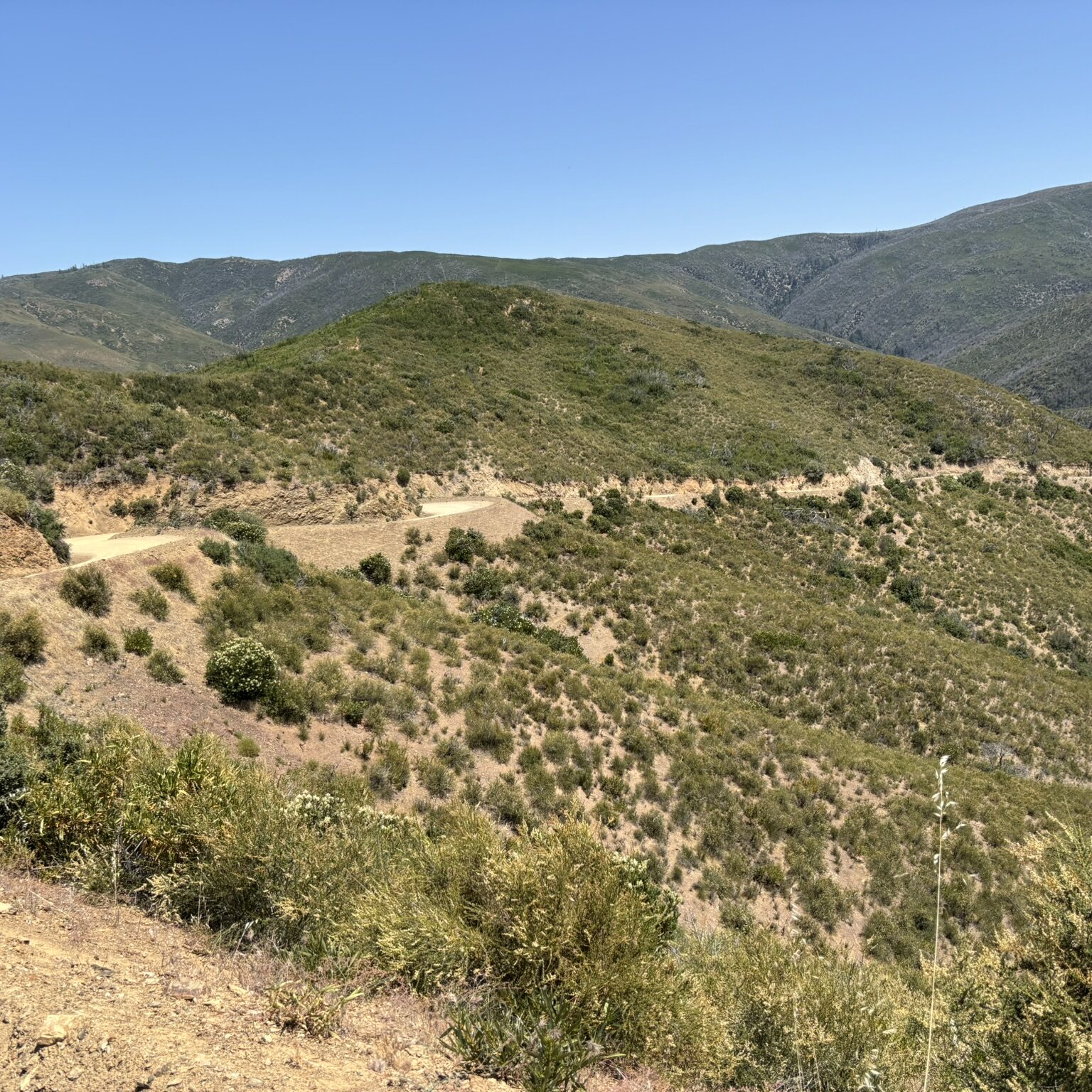
The Tobacco Root Gravel Loop (TRGL) is a long weekender in southwest Montana with burly climbs and thrilling descents featuring three hot springs, abandoned mines, historic barns, scenic vistas, refreshing rivers, great camping and friendly towns.
UPDATE FOR 2026: John re-routed the TRGL slightly due to feedback from riders. The start is now at Sheridan, which provides an easy 39-mile ride to Renova Hot Springs the first day, and multiple camping options the second day at Potosi Hot Springs (40 mi from Renova), Surehot Lakes (44 mi), Revenue Flats (54 mi), or Norris Hot Springs (60 mi). This re-route eliminates the out-and-back section at Potosi Hot Springs and the private section through Sitz Ranch, instead continuing past Potosi HS on the steep forest road to Sureshot Lakes. The route continues to Norris HS through Revenue Flats, and returns to McCallister on Bradley Creek Road and Hwy 287. The original route is available here for reference: https://ridewithgps.com/routes/54146766.
Route Details:
The route, as shown, begins in Sheridan, although the towns of Whitehall and Twin Bridges also provide overnight parking options depending on your itinerary, including a cyclist-friendly camp at the Twin Bridges city park. The ride begins with an easy cruise through the Jefferson River valley to warm your legs. Outside of Twin Bridges, you’ll pass the Historic Doncaster Round Barn, a gorgeous structure that once housed Triple Crown winner Spokane. Enjoy the flowing gravel roads past Waterloo to Renova Hot Springs. Soaking conditions are variable by season, but are best during spring or early summer when river water can be mixed with the scalding hot spring water. Take the upper canal road above the hot springs for nice views of the Jefferson Valley. Camping is available at the BLM campground or along the canal road beyond the yellow fence.
Beyond Renova, you’ll pass a historic kiln from the Parrot Smelter, then continue along the Jefferson Valley to Hwy 359 near Jefferson Island. After a mile on Hwy 359, the route turns back toward the Tobacco Roots along South Boulder Road. Turn at the Indiana University Geological Field Station and climb Carmichael Hill before descending to the historic town of Pony. Grab a burger at the Pony Bar, then head to Upper Potosi Hot Springs for a soak. The hot spring is a natural pool approximately 3/4 mile north of the trailhead. Most of the trail can be ridden by bike, but it is better suited for hiking. The hot spring is typically not much warmer than a bathtub, but ideal for mid-summer soaking. Camping is available at Upper Potosi Campground, or you’ll also pass the privately-owned Potosi Hot Springs Resort, which offers luxurious cabins if you really feel like treating yourself (closed since 2024).
Forest Service Road 160 to Sureshot Ridge, which will require a couple of miles of hike-a-bike. Ride past Sureshot Lakes, then take a left turn and climb the steep hill into Revenue Flats. Bomb downhill through Revenue Flats to Norris and grab a soak at Norris Hot Springs, which opens at 10 AM and offers excellent food and camping. After Norris, the route heads east on Hwy 84 to Bradley Creek Road, which you will ride for almost 6 miles to Hwy 287. Continue for to McCallister, then head back into the Roots on South Meadow Creek Road. After a grueling climb, riders are rewarded with a 16-mile descent down Granite Creek into the town of Alder, where camping and food await. If you want to break up the big climb, there is dispersed camping available near the major junction on South Meadow Creek Road. Beyond Alder, the route delivers a pleasant cruise through verdant farmland back to Sheridan.
- Paved: 20%
- Smooth Gravel: 30%
- Rough Gravel: 35%
- 4×4 Road: 15%
- Singletrack: 0%
Alternate Routes
Several side trips are available if you want to explore more of this area, including an extension to Lewis & Clark Caverns State Park or the touristy towns of and. A shorter 130-mile version of the route is also available by skipping Norris Hot Springs (Short Sureshot Version). The original TRGL is also posted here, which starts near Whitehall.
Equipment
I originally completed this route on an old Bianchi Volpe with 38mm tires, but it’s more suited for a modern gravel bike with tires 2.0″ and above. Some might appreciate the suspension of a hardtail mountain bike. A few necessary sections of pavement exist, but the route is approximately 75% gravel.
Camping
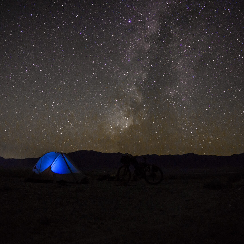
Numerous camping options are marked throughout the route, including pay sites and dispersed camping on public land. Tent sites are available for a fee at Norris Hot Springs, but fill up quickly on weekends. Camping is also available near Upper Potosi and Renova Hot Springs. A few city parks permit camping for traveling cyclists, including the bike camp in Twin Bridges. The best locations are marked as POIs although many more exist. Lodging is available in the towns of Whitehall, Ennis, Virginia/Nevada City, Sheridan, or Twin Bridges.
John has created a detailed RideWithGPS page for the Tobacco Root Gravel Loop, where you might find a bit of additional information.
John Babcock (he/him, Butte, MT) created and stewards this route.
Here’s a little bit about John in his own words:
“I started bike travel with a few simple road and gravel tours in my 20s but picked up bike travel again in my 40s. I work full-time but still manage several tours per year ranging from overnight to several weeks, mainly in the western US (MT, ID, AZ) and Mexico (Oaxaca, Yucatán, Huasteca). I’m also a Warmshowers host along the Great Divide Mountain Bike Route in Butte, MT, and have hosted over 450 guests throughout the years.
This loop is near my hometown of Whitehall, MT, and I’ve been exploring the Tobacco Roots since childhood, so this is a homage to my Montana roots.”
John Babcock has offered to be available to answer questions if you are planning a trip on this route.
Please also get in touch with any updates on route conditions that may be relevant to other riders.
Please submit your questions and comments on the route via the contact form below.
This route traverses the traditional lands of the Shoshone-Blackfoot and Salish.