Route Overview
Region
Miles
Days Out
Recommended Tire Size
Season
Elevation Gain
Difficulty
3/10 Technical
Primary Surface(s)
40% paved


Route Map
Route Details
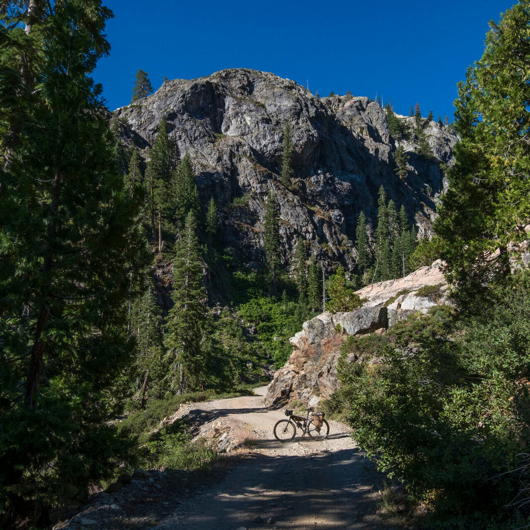
A Chihuahuan Desert bikepacking experience among the Sky Islands, desert grasslands, and diverse valleys of the Arizona/New Mexico borderlands. The route follows gravel roads, quiet pavement, and a few mellow sections of 4×4 tracks. It’s a fast-riding route that can be done on a gravel or mountain bike (just know that Arizona gravel tends to be a bit rougher and bigger than gravel in many other parts of the U.S.).
The Chihuahuan Desert is a high elevation desert (3,500+ feet above sea level) that spans north-central Mexico, southeastern Arizona, southern New Mexico, and west Texas. The desert is characterized by sweeping grasslands, yucca forests, and exceptionally high biodiversity (as far as deserts go) amid isolated mountain ranges and broad valleys. And this northernmost part of the Chihuahuan Desert is home to the Chiricahua Apache, Janos, Ópata, O’odham Jeweḍ, and Sumas before these groups were forceably removed from their homelands in the late 1800s.
This weather along this loop is generally ideal for bikepacking during spring and fall months. Summer can be oppressively hot, and in winter, snow can block the route over the Chiricahua Mountains, and overnight lows can drop well below freezing in the valleys. Any sort of bike with tires at least 40-45 mm wide can be ridden on this route, although wider gravel tires will be preferred by most gravel bike riders due to sections of washboards, coarse gravel, and soft road beds. Water is scarce in this desert, but relatively reliable sources can be found regularly enough that riders shouldn’t need to haul an excessive amount at any one time. Details about resupply options, water sources, public lands, and more can be found in the waypoint/POI data – many include additional information in the POI description.
The west side of the Dragoon Mountains a few miles outside the town of Tombstone is a great place to start the route. Dispersed camping and ample vehicle parking can be found at the edge of the Coronado National Forest. The loop can be ridden in either direction, but this short description follows the clockwise direction from this starting point.
Each of the mountain ranges and valleys along this loop have unique geology, ecology, and landscape character. The granite spires and flatirons of the Dragoons are a stunning backdrop for the beginning of this ride. The route follows a bladed gravel road over Middlemarch Pass, a low gap in the mountains, before dropping into the broad Sulphur Springs Valley. Much of the land in this valley is privately owned – some is irrigated for agriculture, some holds almond orchards, some is used for grazing, and some holds sprawling rural housing developments. From the Dragoons, the route drops to the old mining town of Pearce and then turns south toward the ghost town of Cortland. Past Cortland, the route turns east, crosses the broad valley, and begins to ascent very gently toward the distant Chiricahua Mountains. The roads are mostly well maintained gravel, and dispersed camping can be found in long section of State Trust Lands near the east edge of the valley (see permit details below). Nearing the base of the Chiricahuas, the route turns north and becomes mostly paved for the final 15 miles toward the entrance of Chiricahua National Monument. The loop doesn’t enter the Monuments, but a short side trip into the park is well worth it. Countless rhyolite towards rising above old growth Arizona cypress forests create a stunning landscape unlike any other. Water and camping are also available within the park.
The loop continues east of the Monument over Onion Pass in the Chiricahuas. The dirt road is generally well maintained, and the views from the pass span a vast expanse of this part of the Basin and Range geologic province. Dispersed camping options are abundant until nearing the Forest boundary above Portal; camping is permitted only in the 5 small campgrounds along Cave Creek. This area is a destination for birders during migration season, and the towering cliffs dwarf the white sycamore trees lining the creek. Just beyond the Forest boundary, a cafe, market, and small motel are found in Portal. From Portal, ~30 miles of pavement, mostly with very little traffic, descend gradually into the San Simon Valley and then climb gradually toward the Animas Valley and the small town of Animas. Markets are also available along the route just north of the town of Rodeo and in Animas, and BLM lands along the way provide dispersed camping opportunities.
The route turns south at Animas and follows the Animas Valley south toward the international border through high desert grasslands. The first 18 miles or so of this are paved, and south of there, the road turns to dirt. Much of this valley, along with the Animas Mountains to the west, are private and are part of the 500-acre Diamond A Ranch. Toward the southern end of this seldom-traveled valley, the route begins to climb gently toward the Peloncillo Mountains and the easternmost part of the Coronado National Forest. Entering juniper woodlands and eventually some pine forest, the road becomes rougher and rockier, a few seasonal water sources can be found, and camping opportunities are abundant. After crossing the range divide, the road drops quickly through Cottonwood Canyon, leaves the Forest, and enters the San Bernardino Valley. Road conditions improve, new sections of the $20-million-per-mile border wall come into view, and camera towers begin to track your progress.
Within the San Bernardino Valley, the San Bernardino Wildlife Refuge protects rare riparian habitat (bikes and camping are not allowed in the Refuge), and and the nearby San Bernardino Ranch museum (see link in “Additional Resources” section below) may be a great water source if open. To the west, the route parallels the border wall all the way to the bustling little town of Douglas where all services short of a bike shop are available. The return to the Sulphur Springs Valley marks a return to mostly privately owned land, and the route follows a mix of dirt and pavement northwest through the valley. Countless abandoned ranches and homes attest to the changing economic conditions within this valley, some related to a big increase in energy prices a few decades ago, some related to private wells drying up due to industrial-scale nut orchard operations run by foreign companies, and some other reasons.
In the middle of the Sulphur Springs Valley, Whitewater Draw Wildlife Refuge is home to thousands of sandhill cranes in the winter. The cranes roost at the wetlands in the Refuge at night, but many also stick around during the day and attract many birders. The Refuge also allows camping at two areas, the only camping opportunity along the route between Douglas and Tombstone. North of the Refuge, the route turns west onto Davis Road, a paved and moderately traffic road. These 25 paved miles traverse entirely private lands until reaching Tombstone. To close the loop, a mile of rolling gasline road across State Trust Land connects back to the gravel Middlemarch Road that climbs back to the base of the Galiuro Mountains.
- Paved: 40%
- Smooth Gravel: 40%
- Rough Gravel: 20%
- 4×4 Road: 10%
- Singletrack: 0%
See the “Additional Route Information” section of the route website for more information on water, camping, public lands, safety considerations and more.
- This route is part of a collection of routes on the Backcountry-MTB website. Please see more details on the route webpage.
- Please find the route on Ride with GPS: Chihuahuan Desert Loop
Kurt Refsnider created and stewards this route.
Kurt is Bikepacking Roots’ Routes Director and co-founder. He’s dedicated years to developing bikepacking routes and guides for other riders including the Western Wildlands Route, the Bears Ears Loops, the Northwoods Route, and many shorter routes. His passion is riding in wild, remote landscapes, and many of his route visions aim to help others experience places, connect to those landscapes, and recognize why the conservation of such places is so important.
Please get in touch with any updates on route conditions that may be relevant to other riders.
Unfortunately, Kurt is not available to help folks with trip planning questions.
Please submit your questions and comments on the route to Kurt through the comment form below.
This route traverses the traditional lands of the Chiricahua Apache, Janos, Ópata, O’odham Jeweḍ, & Sumas.