Route Overview
Region
Miles
Days Out
Recommended Tire Size
Season
Elevation Gain
Difficulty
4/10 Technical
Primary Surface(s)
~20% rough gravel
Route Map
Route Details
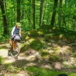
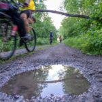
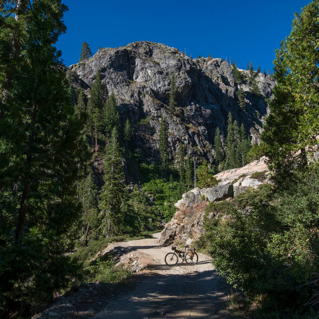
The Tour de Nicolet takes riders through the majority of the Nicolet National Forest traveling through old logging towns on lesser-known roads and paths, following the constant paths of rivers and streams with lakes scattered throughout.
Pass through classic Northwoods towns featuring quintessential bars and SuperClubs that scream Wisconsin. Grab an Old Fashioned and fish fry on a Friday night or prime rib on Saturday.
This route features an abundance of wildlife. Bear sightings are common. In addition to bears, some other animals frequently seen are whitetail deer, badgers, bobcat, wolves, and porcupines. Of the many bird species in the area, the loon is the most unique with its calls in the mornings and evenings. There are two loons on each lake, and you will undoubtedly hear these calls each evening, especially if you camp on a lake. The loons are a special part of each trip.
The Tour de Nicolet is a 365-mile route that is full of rich history while traveling through quintessential small Northwoods communities. Prior to the 1930s, the forest was heavily logged and burned over. Starting in 1933 the Civilian Conservation Corps (CCC) played a key role in the reforestation including construction of buildings, bridges, and fire towers as well as replanting the forest. You will see numerous CCC sites, structures, and trees planted so many years ago throughout the ride. Not only will you notice the history of the CCC camps, you will also notice the logging history throughout the route. Most of the time is spent within the national forest with the occasional rustic gravel path in the county forests of Langlade, Oconto, Marinette, and Forest. The history of how the county acquired those lands is interesting. During the late 1800s and early 1900s, settlers either logged it and left the land or sold the land to settlers, promising the unsuspecting newcomers a fertile land. When they tried to farm it, their crops didn’t grow as well as they were led to believe because the deforestation left the land so stripped of all its minerals, so they ended up abandoning it, leaving unpaid taxes.
Luckily, this activity was eventually recognized as harmful, and steps were taken to right the wrong. We now have a lush green wonderland to explore and connect with nature. So, when you see a large old growth tree that escaped being cut down or the CCC signs or rows of tall pine trees, appreciate the small things that are actually really great things that we are lucky enough to have and enjoy. Mid-ride, take your shoes off and wade into that stream. Jump into that lake. Feel the earth on your bare feet. Filter some ice-cold spring water. Reconnect with the forest.
Don’t miss these highlights, historic sites, and viewpoints along the route:
- The fun and flowy hills of Augustyn Springs are a blast to ride. They feature some unique points of interest most locals don’t even know about, such as Hill Billy Hilton, an underground bunker you won’t soon forget. There is also Crotch Vegas, a fantastic cache of soda and candy in the middle of nowhere.
- White Lake railroad museum is a restored depot and inside the depot you will find artifacts and displays showcasing White Lake’s rich railroad, farming, logging and lumber industry.
- 12 miles of old school single track on three different organizations’ trail systems, Nicolet Roche, Goodman Park, and Otter springs. The route uses the most direct line through, so adding more singletrack to your adventure is an option. Additionally, there are 12 miles of singletrack, Jack Lake, at the starting location of the route.
- The 2019 derecho which impacted 130,000 acres of the National Forest. Efforts to clean up are still ongoing, but you will notice the aftermath, particularly starting at Humble Hill and the five miles after. The land is now clear of most trees as far as you can see, which makes unique vantage points throughout the steep rolling hills riddled with baby-head rocks.
Mountain Fire Tower is a unique opportunity to climb an historic fire tower and view the landscape in the cab 100 feet in the air, just as the fire spotters did years ago. There are 14 fire towers still remaining in the national forest, this being the only one where the public is welcome to climb. - Bulter Rock viewpoint, as well as the infamous sand roads around Bulter Rock.
- The old fish hatchery and waterfall.
- Thunder Mountain State Natural Area with its amazing viewpoint up top of its bedrock outcrops. The red oak and white oak trees hold their color late in the fall, making this a fantastic spot to see fall colors late in the year.
- Big Rock overlook. Very few people know about this place and fewer have taken the hike back there, but it offers remarkable views.
- Strong Falls.
- Artesian well at Chipmunk Rapids.
- Wisconsin’s highest cul-de-sac.
- The logging museum in Wabeno along with all the other historical buildings including a library which still operates. Wabeno has a proud history in the logging industry.
- This route contains some of the best rivers and springs in the Northwoods. The lakes here are spring fed as opposed to seepage lakes. This makes the water clear instead of a stained look from minerals in the water. An excellent example of this type of lake is Jack Lake at the starting point of the route. Bring a water filter to pull some crystal-clear water from these amazing places.
- Paved: 30%
- Smooth Gravel: 49%
- Rough Gravel: 10%
- 4×4 Road: 10%
- Singletrack: 1%
Parking at the route start at Jack Lake in the Jack Lake singletrack trail parking lot is a perfect spot. Another option is the municipal parking lot in Lakewood.
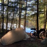
See the Ride with GPS route for numerous camping options that Shane recommends. Some of the best are dispersed campsites but there are a number of National Forest campgrounds with 20 or so sites and all the basic amenities like pit toilets and water from well pumps. Most POIs are accompanied by short descriptions of what to expect from the camping area.
- Langlade County has free dispersed camping. To reduce environmental impacts, up to six tents in a group are allowed.
- Nicolet National Forest allows dispersed camping.
It is always a good idea to bring some snacks to have throughout the day and a couple meals in case a restaurant is closed but the route has so many great places to eat, most days of the week you should be fine.
The best places to eat are White Lake Market, Weatherby Supperclub, Waubee Lodge, Roadhouse 139, and Johnnies Resort. These places are all a must stop if they are open and worth planning a route around.
Most campgrounds on the route have well pumps that you can get water from when in between towns. Filtering water out of the many lakes and streams is also a very great choice.
These forest roads are actively logged. Expect logging at some point when doing the route and give the loggers the right of way and plenty of space.
If you want to come up the day before, camp at Jack Lake but make reservations early as this is a popular campground. Another option is to camp at High Lake dispersed sites a couple miles south on the Jack Lake fire lane. These sites are generally open with few people using them even on a weekend. There are hotel options in Antigo 20 minutes from Jack Lake, or if flying in, Wausau, which is close to Central Wisconsin Airport and has an abundance of hotels and dining options.
The route can be ridden in either direction.
There are ample opportunities to cut off mileage however this comes at a cost. You will miss some fantastic POI’s. If you can live without some of them, go for it.
- Go directly to the main route on Ride With GPS.
- The Radavist shared an article about the Tour de Nicolet here.
- Shane has also created a shorter, 225-mile version of the route called the SoNic. The Ride with GPS page for this version can be found here.
- Shane was featured on the cover of the 2021 Wisconsin Bike Fed Ride Guide for his work in designing the Tour de Nicolet.
- If you want to follow more of Shane’s adventures, check out his blog.
- Hear about the Tour de Nicolet, Red Granite, Grinder, and Essential Gravel on the Bikes or Death Podcast Episode 125.
- Tour de Nicolet is also on Instagram @tour_de_nicolet
Shane Hitz created and stewards this route. Here is a little bit about Shane in his own words: “I have had this route on my personal page for 5 years. I create many routes for people in my area for bikepacking. In addition, I am a race director for the IRONBULL Red Granite Grinder gravel race.”
IRONBULL is a 501(c)(3) charitable organization that promotes outdoor adventure sports in Central Wisconsin. Here is more information on Shane from their website:
Shane grew up in rural Eastern Marathon County, right on the Mountain-Bay Trail before it was a bike trail. Growing up in the 80s there weren’t designated areas to ride other than the rural roads. Shane always had the urge to explore and used his bike as a means to do so, whether winter or summer. The opening of the Mountain-Bay Trail was really exciting to Shane, and he decided to buy his first real decent bike and set out a goal to ride the entire length. Doing that really fueled his true passion today, which is bikepacking. A self-proclaimed adventure cyclist, Shane loves the process of making a route with route planning tools and apps and then going out with only the things a person needs to survive for a few days and riding it. Most recently Shane has bikepacked a Shane-modified version Sky Island Odyssey loop in southern Arizona featuring close to 30 miles of added singletrack to the existing route. He plans on using his love of adventure riding and knowledge of the area to help promote the sport to the area through IRONBULL as both a race director and board member.
Additional thanks go to the stewards of several trail systems through which the route passes. Without these four mountain bike trail systems the route would not be as good as it is. Their dedication to maintaining top notch mountain bike trails is amazing!
Shane has offered to be available to answer questions if you are planning a trip on this route. We encourage you to be respectful of Route Stewards time though and to review publicly available materials first before reaching out with questions.
Please also get in touch with any updates on route conditions that may be relevant to other riders.
Please submit your questions and comments on the route via the contract form below.
This route traverses the traditional lands of the Potawatomi.


