Route Overview
Region
Miles
Days Out
Recommended Tire Size
Season
October
Elevation Gain
Difficulty
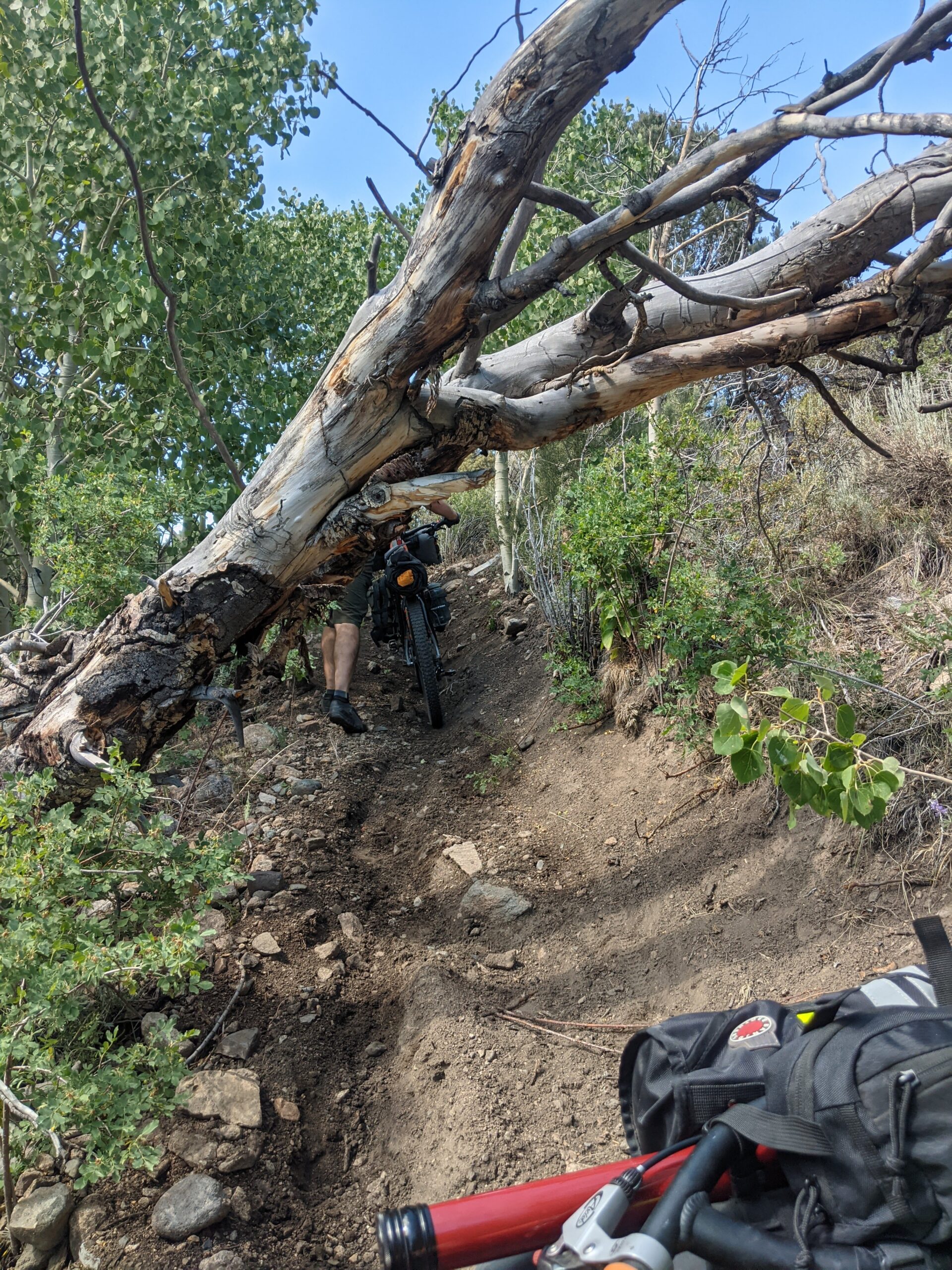
4/10 Technical
Primary Surface(s)
~40% 4x4
Route Map
Route Details
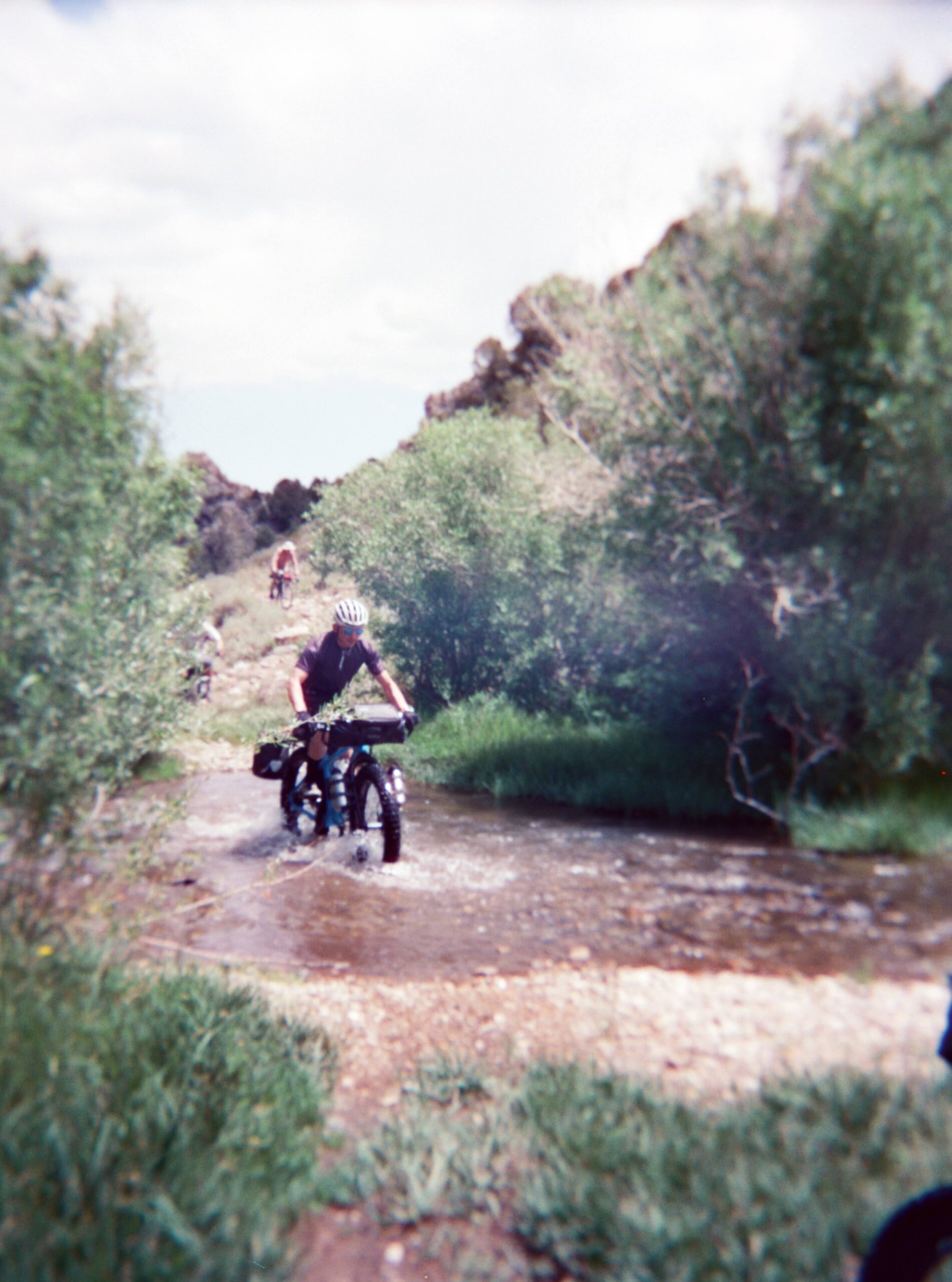
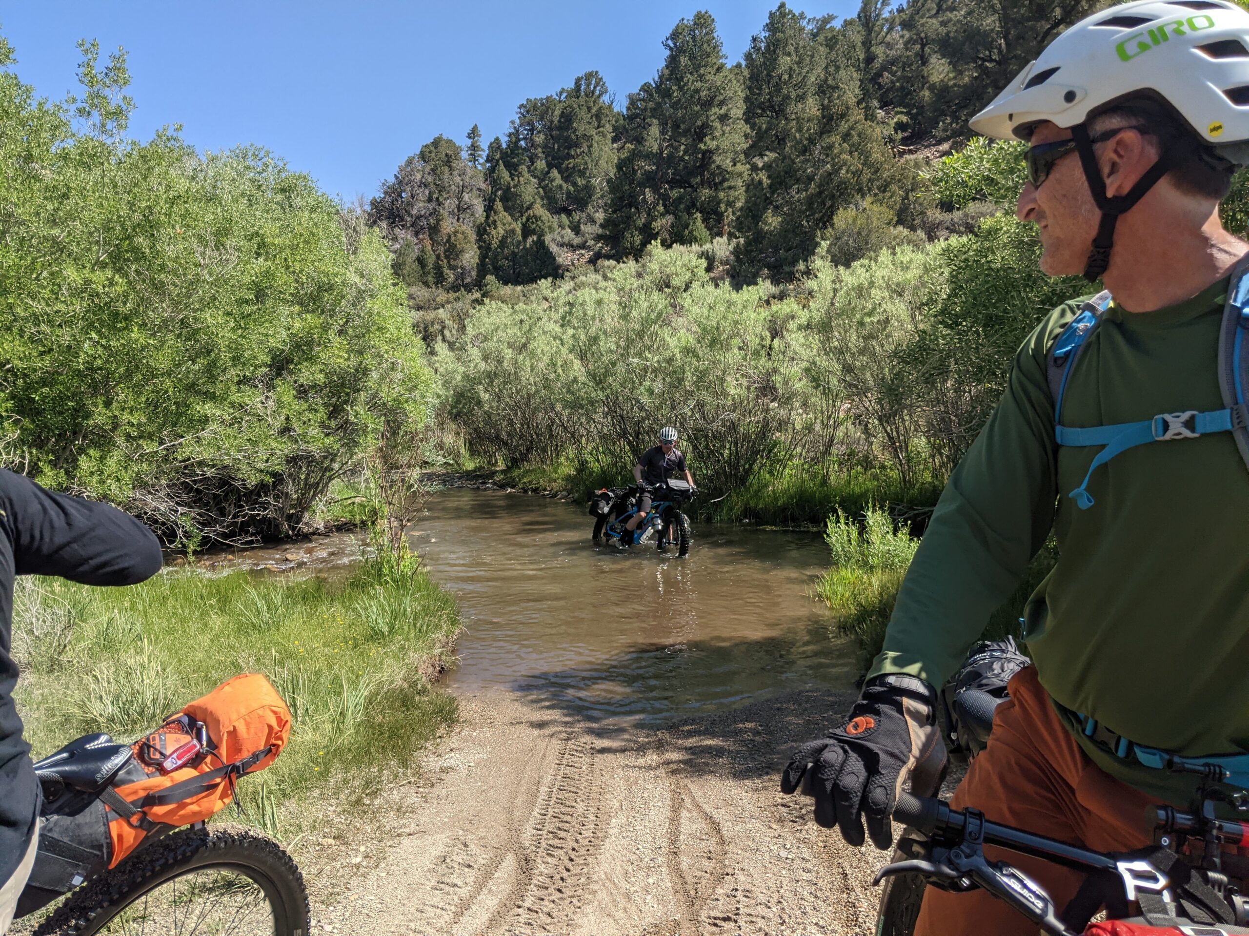
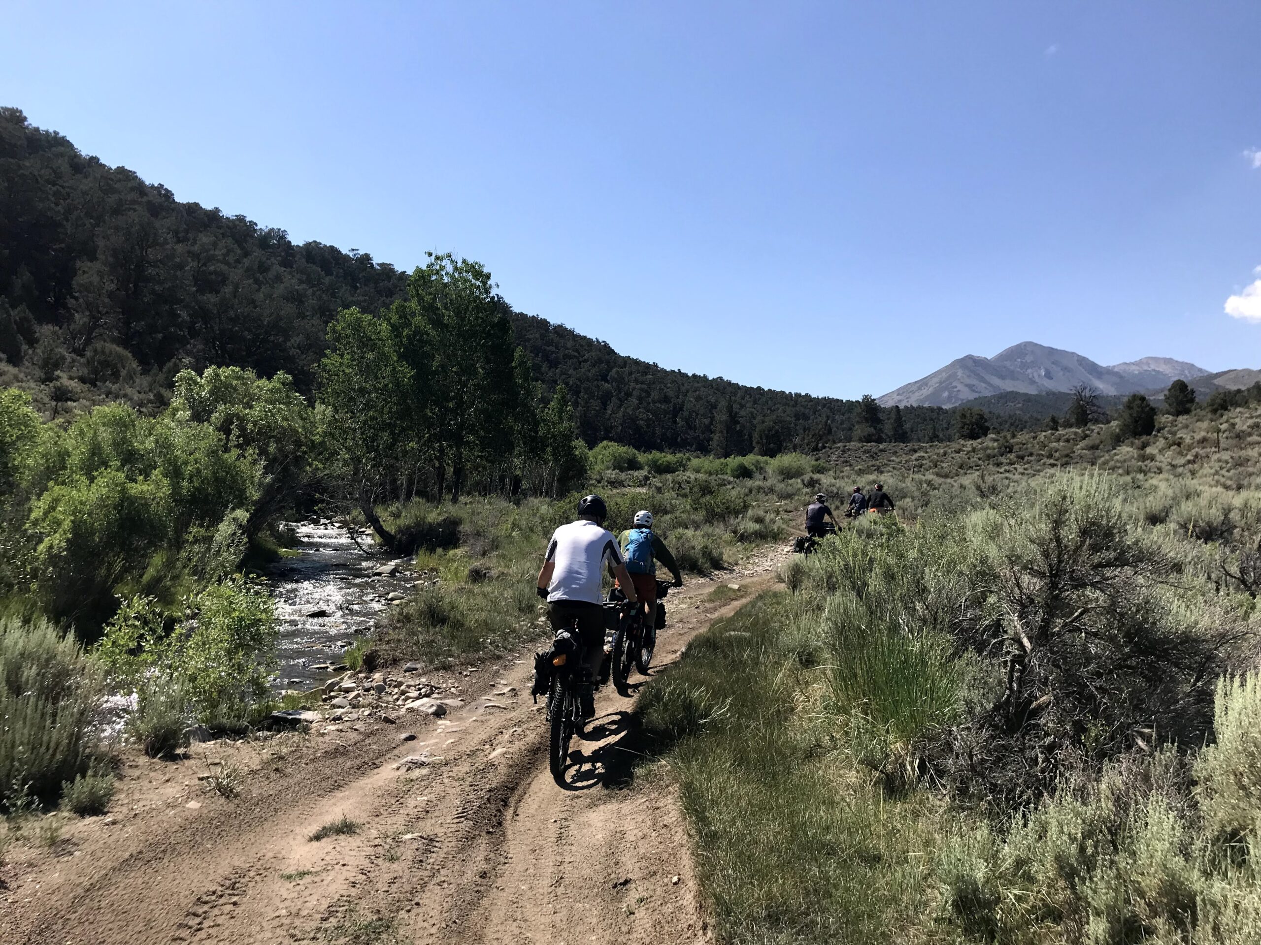
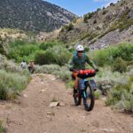
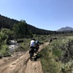
The route crisscrosses a mountain creek on a pack trail and jeep track in the aspens and pines climbing out of the heat of the high desert.
Highlights include:
- Changing light through the rugged canyon
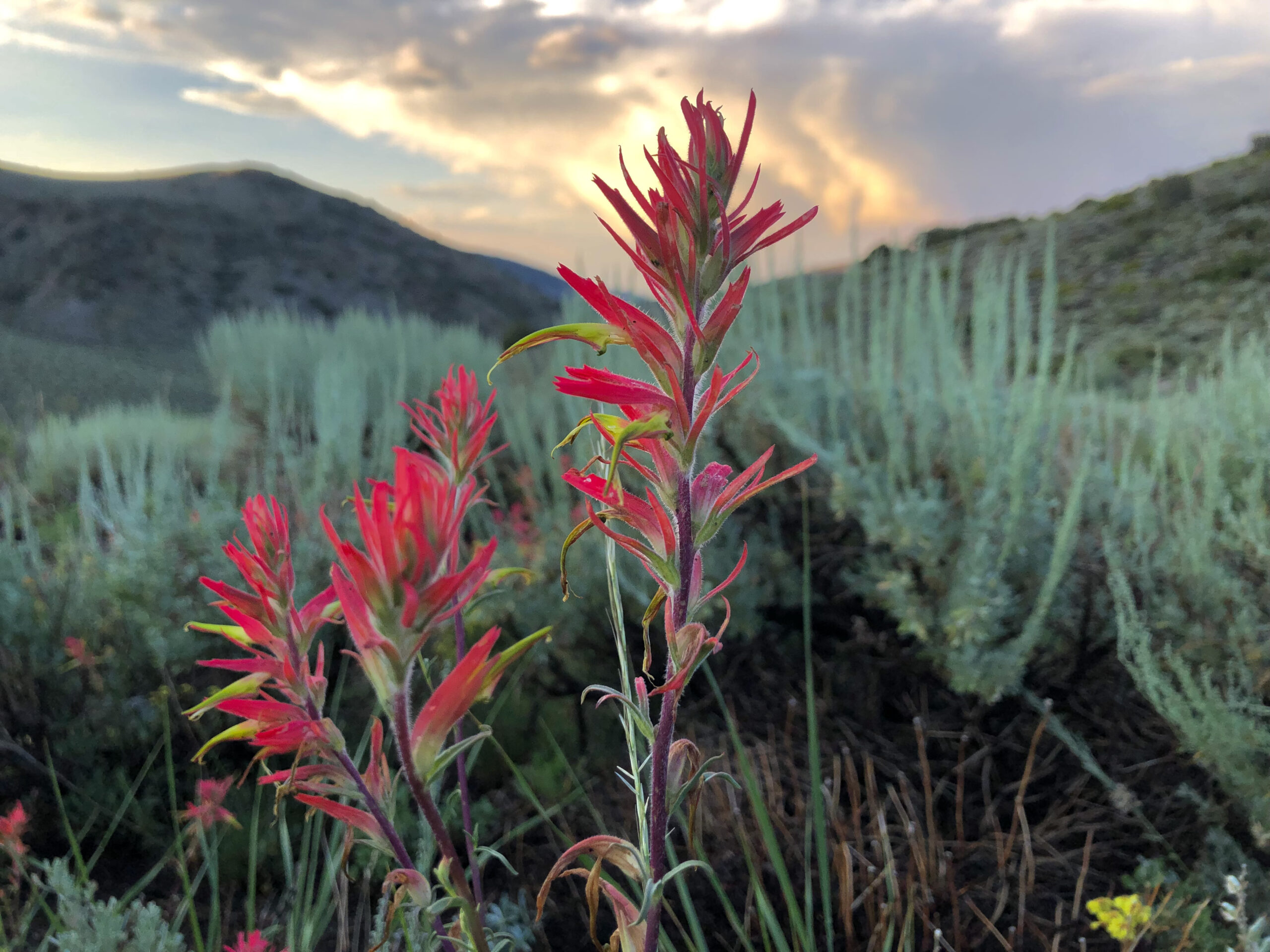
- Extended wildflower season
- Water and shade
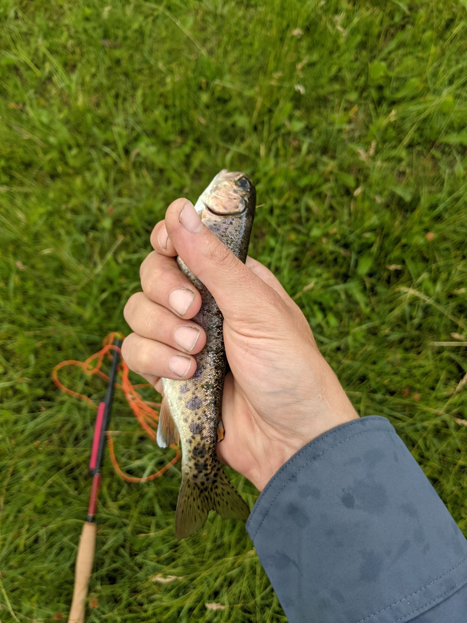
- Great small creek fishing
- Solitude
Desert Creek runs from Lobdell Lake high in the Sweetwater Mountains to Smith Valley as a part of the Walker River Watershed. These are the ancestral lands of the Northern Paiute and Washoe tribes.
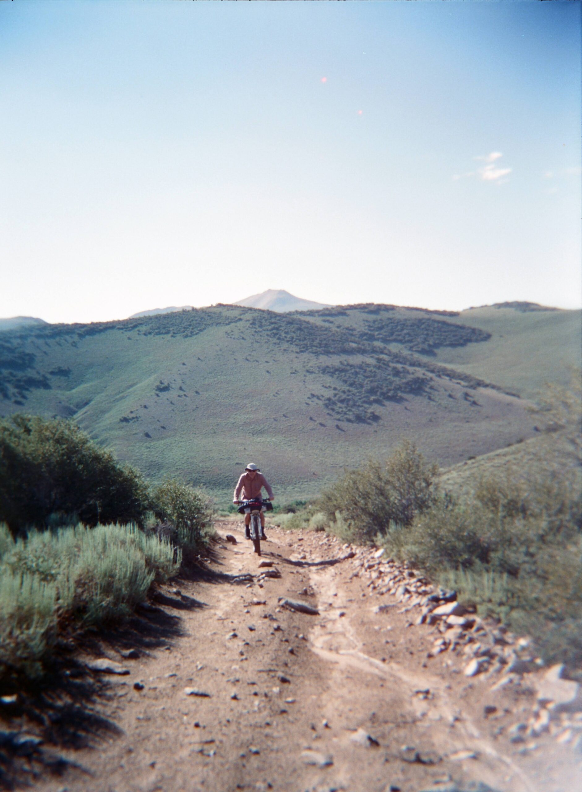
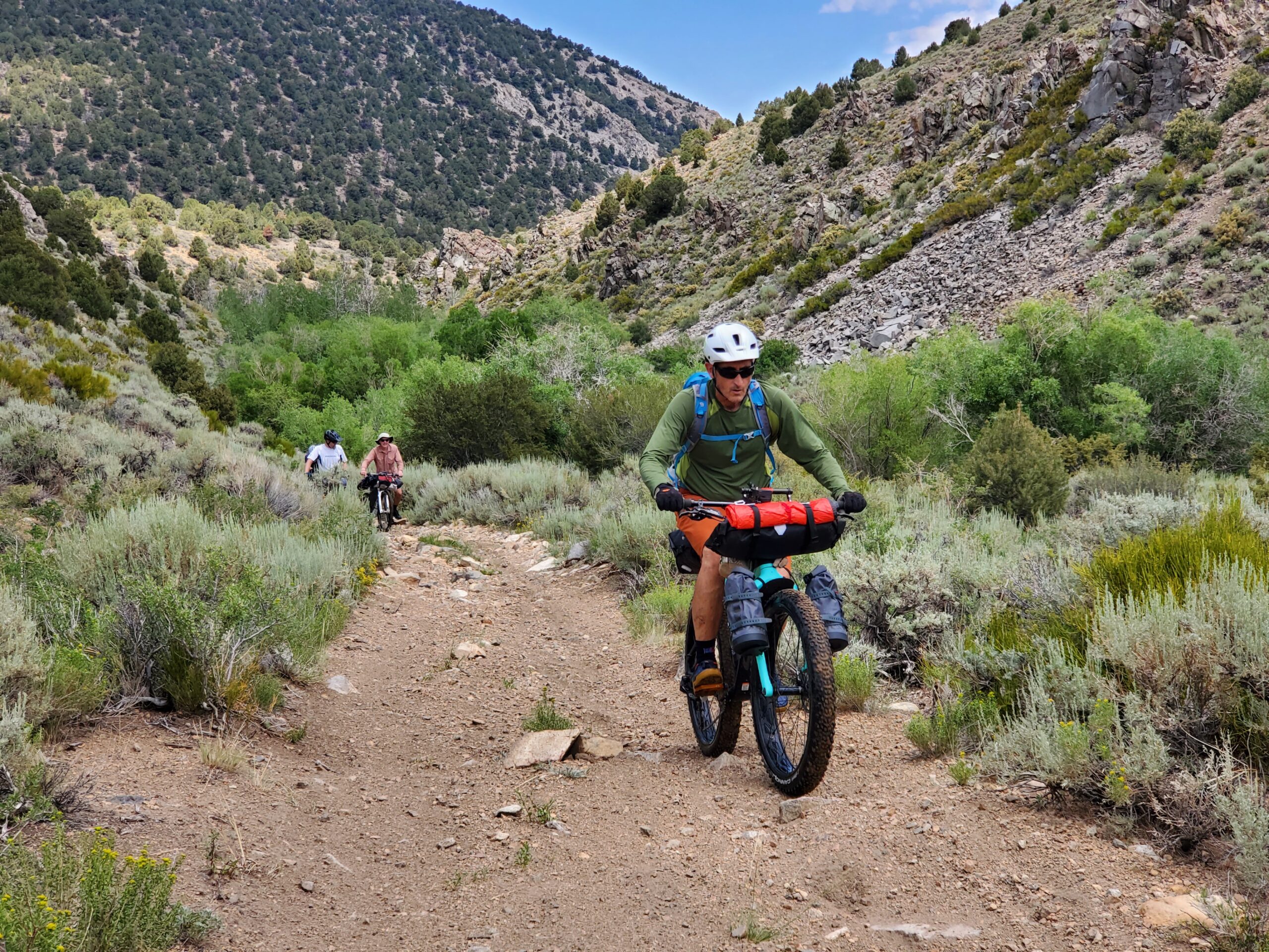
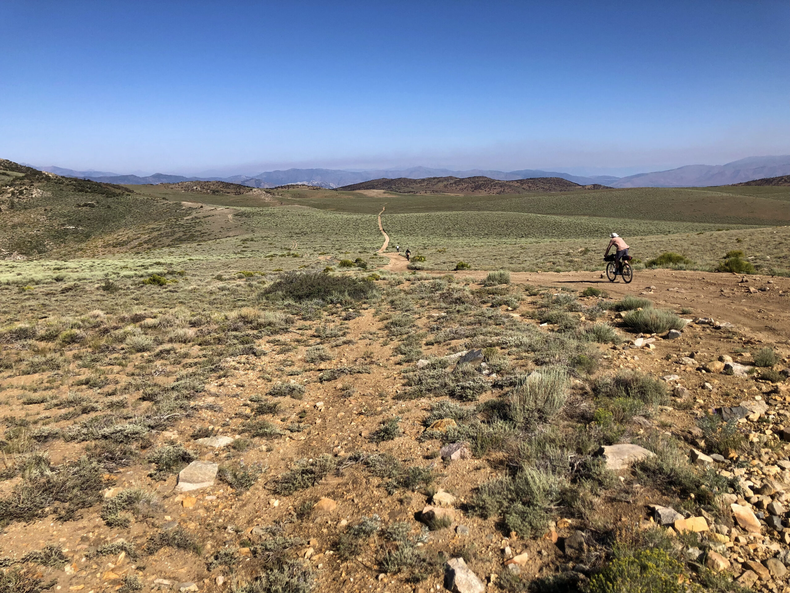
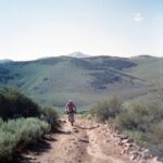
The route quickly climbs from high desert sagebrush steppe, to Pinyon-Juniper forest. Along the creek there are thick stands of willows, aspens, and pines. The wildflower season is extended with elevation. Climbing away from Desert Creek, the vistas open to the Sierra Nevada Range. For those interested in small creek fishing, brooks, rainbows, and browns are easily caught on the fly.
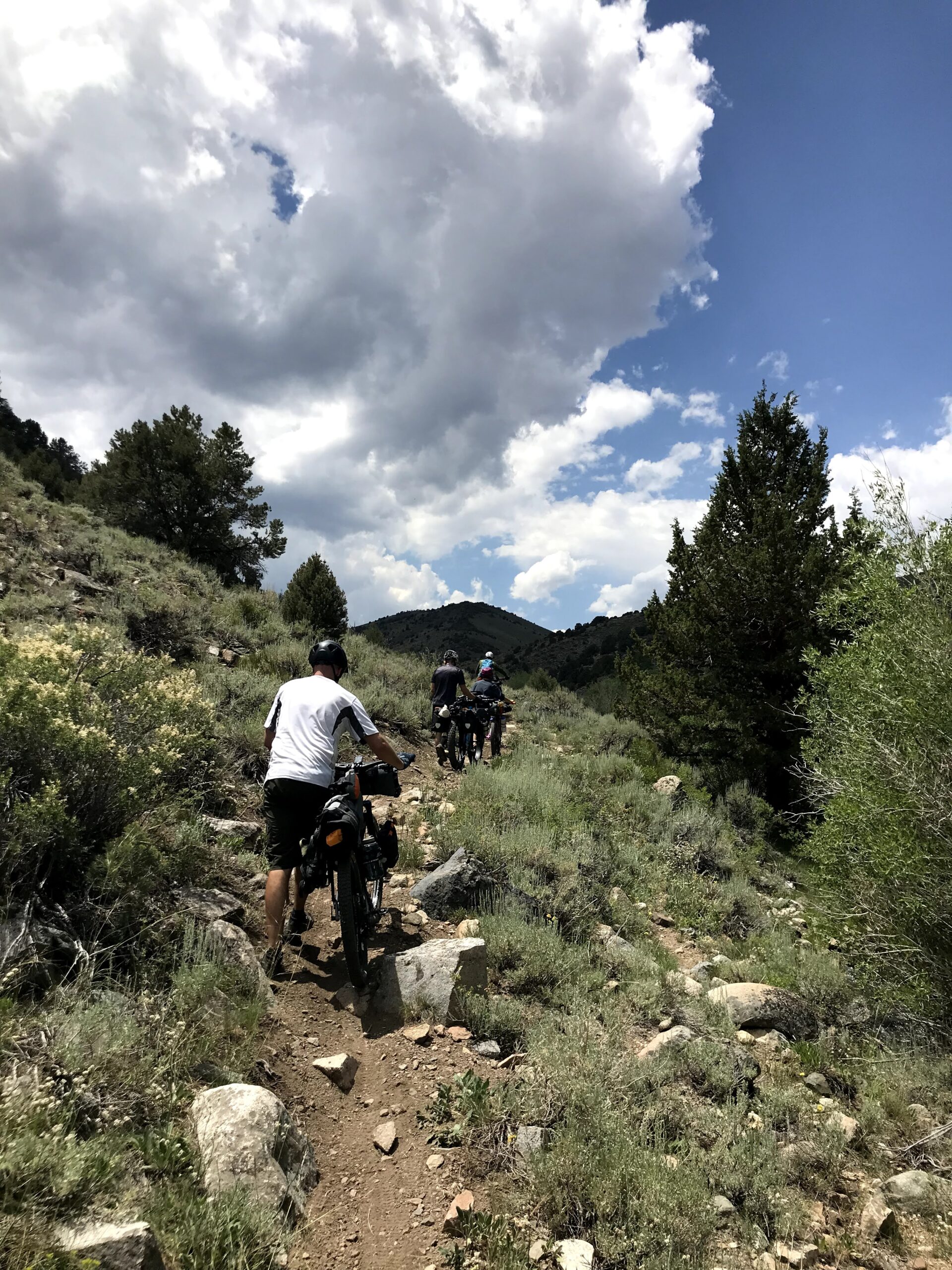
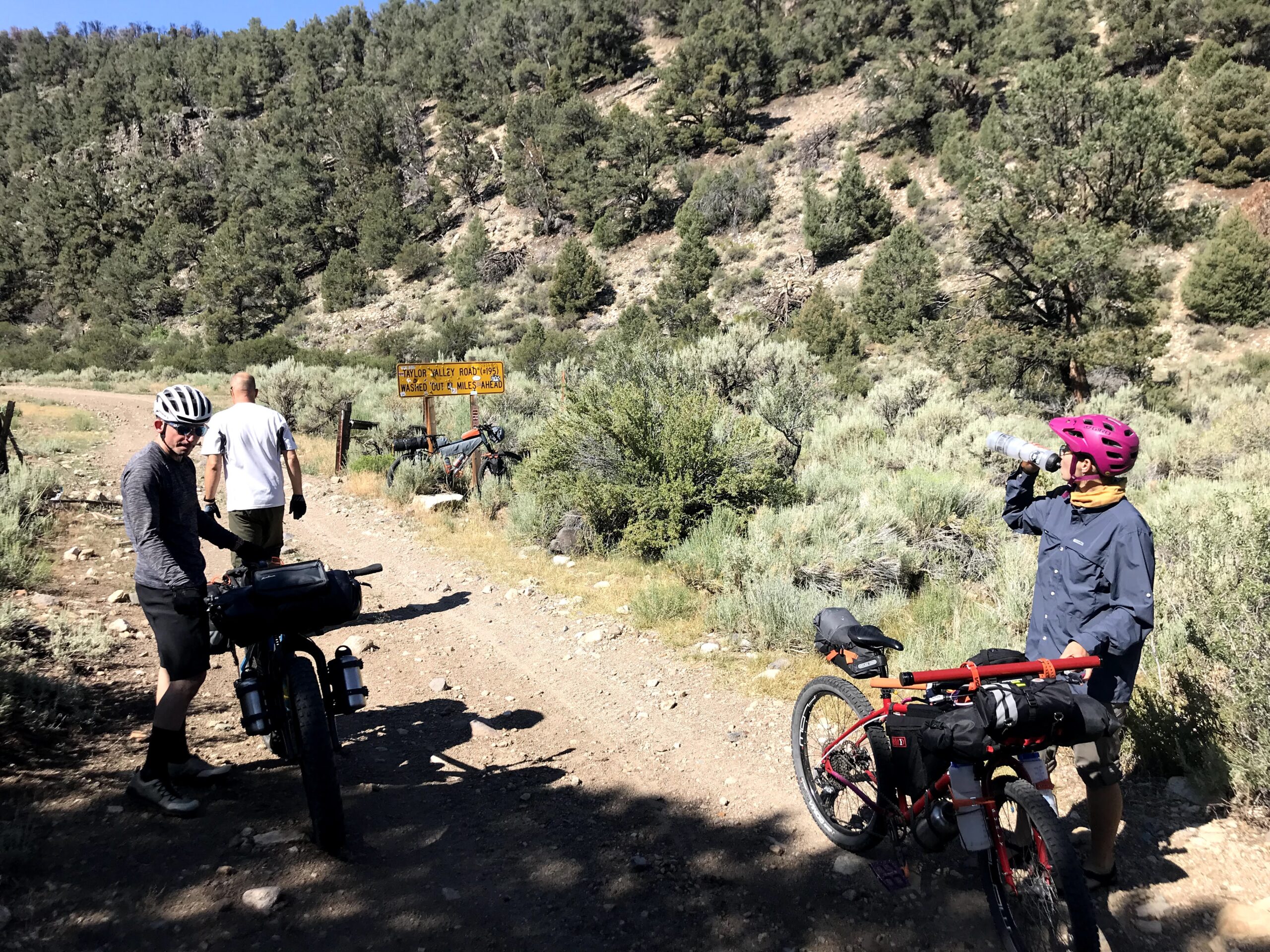
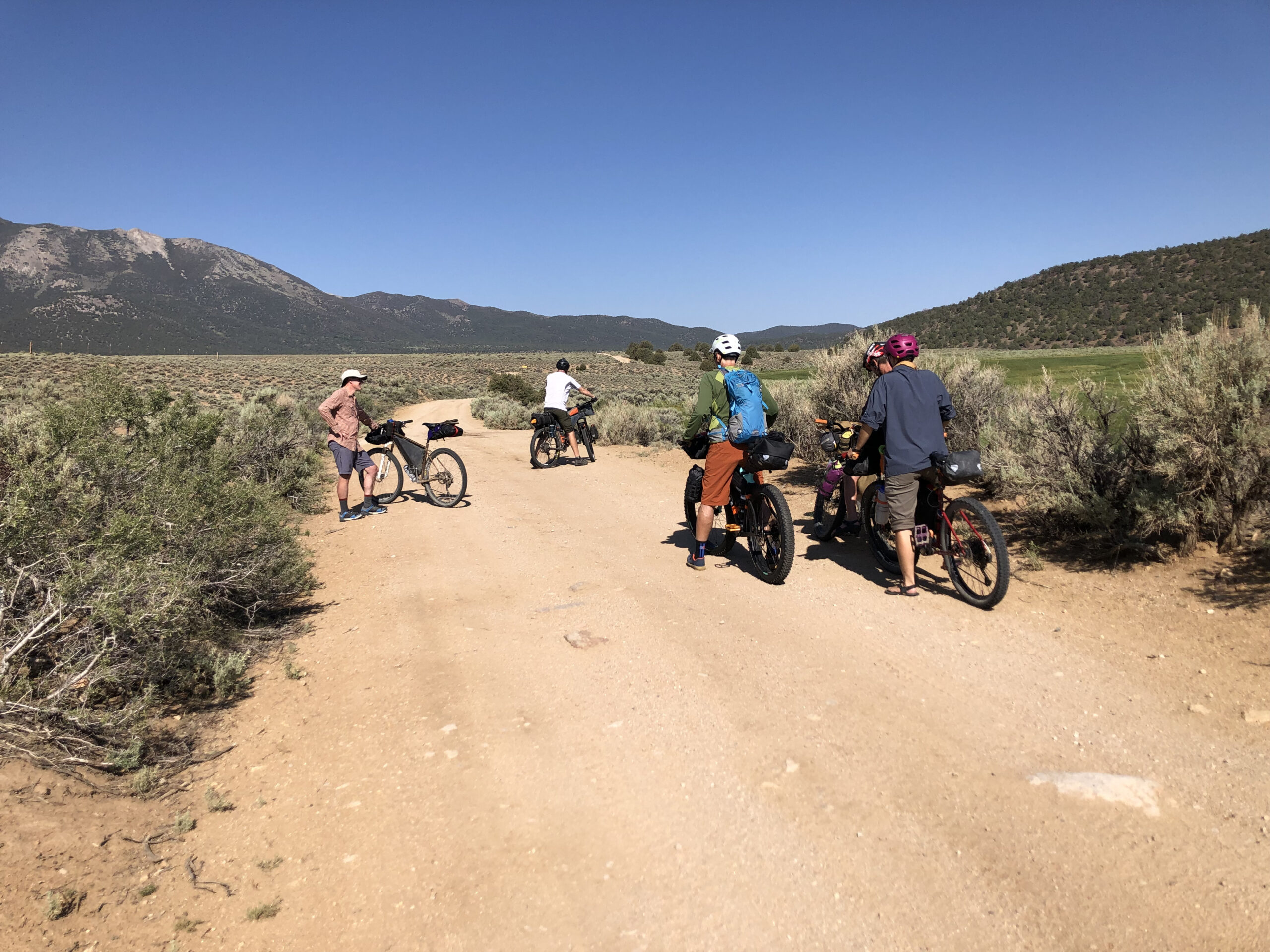
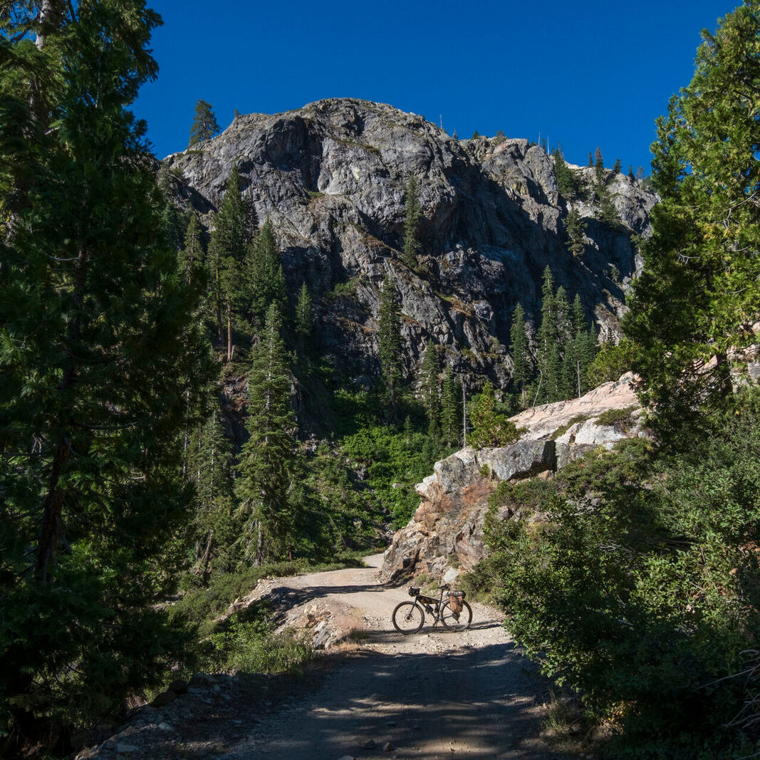
This route is on a mix of dirt roads, jeep trail, and singletrack pack trail. A mountain bike with wide to plus-sized tires is well suited. The numerous water crossings are mostly if not entirely rideable depending on the seasonal flows. Be prepared for wet footwear, frequent shoe changes, or ride in sandals. Except for a couple of short, punchy climbs, the route is very rideable. As the route follows water and is in the trees, it is a great escape from the high desert’s hottest days.
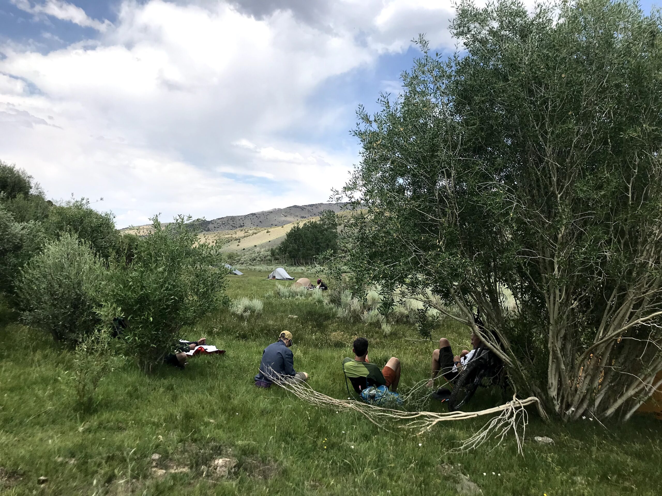
From 6,500′ you are looking up at East, Middle, and South Sister Peaks between 10,400′ and 10,900′. Behind you is Bald Mountain, 9,500′ in the Pine Grove Hills. In the first 5 miles you leave the sagebrush for the pinyon-juniper forest and drop into the canyon. Teeing into the forest service road, it transitions to a pack trail in just over a mile. The route is in the shade of trees and always within sight of the creek. At about mile 8.4 there is a stand of Ponderosa pines at a crossing that makes a great lunch/fishing break. At about mile 9 there is a pinch point in the canyon with a steep, loose hike-a-bike. The route cross-overs into California past mile 10. The canyon opens up between miles 11 and 12 which makes a great spot to camp before the route leaves Desert Creek. The route high point 8,300′ offers great views of the Sweetwater Range and the Sierra Nevada before you descend to Jackass Spring, the spring head to Jackass Creek. The return to Desert Creek along to Jackass Creek is a fun two-track descent.
While this is a short route, it is visually jam packed. It is a great introduction to the area.
Feel free to extend the route along Desert Creek, through the high routes in the Sweetwaters, into the mining ruins of the Pine Grove Hills, and Walker River State Recreation Area.
If there is anything I can do to facilitate your Nevada bike adventure, please reach out.
- Paved: 0%
- Smooth Gravel: 40%
- Rough Gravel: 10%
- 4×4 Road: 40%
- Singletrack: 10%
Dispersed camping is available along the route. Be mindful of fire restrictions and always follow best practices of Leave No Trace. While this is a popular area by local standards, you are likely to see only a few other trail users. Parking off of Rissue Rd is a fantastic start to the route.
For a post ride meal check out Rosie’s Place and Cantina in Wellington – great Mexican food!
Access to the area is about a 2 1/2-hour drive from Reno/Carson City.
- For more details please the main blog post on Kurstin’s website, featuring the route, here: http://bikepackingnv.blog/2021/07/19/overnight-bikefishing-desert-creek/
- And a post from another trip can be found here: http://bikepackingnv.blog/2022/08/25/ride-report-desert-creek-floor-to-ceiling/
- You can read about many other off-road bikepacking adventures on Kurstin’s blog: Bikepacking Northern Nevada – Exploring Nevada’s backroads by bicycle (bikepackingnv.blog)
Kurstin Graham created, photographed and stewards the Bikefishing Desert Creek route.
Here’s a little bit about Kurstin in his own words: “I have been riding and documenting backroad routes in Northern Nevada for the past 9+ years. Over the last 3 years I have been hosting overnights open to all interested, first timers to highly experienced. These events have been year-round, one or more a month. The last two years I have hosted Rides with Friends, a collaboration with Friends of Black Rock High Rock, to inspire stewardship of Black Rock Country through non-motorized recreation. All of these routes are curated by me.
I have visited Desert Creek for camping, fishing, hiking, and bikepacking multiple times a year since 2010. I chose this route for the Community Routes project because it is a favorite.
I would like to thank the members of our local bikepacking group, BurritoPackingNV for joining me on my trips and giving me feedback on routes like these.”
Kurstin has offered to be available to answer questions if you are planning a trip on this route.
Please also get in touch with any updates on route conditions that may be relevant to other riders.
Please submit your questions and comments on the route via the contract form below.
This route traverses the traditional lands of the Northern Paiute and Washoe people.