Route Overview
Region
Miles
Days Out
Recommended Tire Size
Sidewalls
Season
Elevation Gain
Difficulty
6/10 Technical
Primary Surface(s)
40% gravel
10% 4x4/singletrack


Route Map
Route Details
A sampler of everything the Tucson area has to offer from our paved bike paths to a very short section of the AZT trail. The ride can be done in 2 to 4 days depending on how hard to want to push and your ability to carry water. The route allows you to pedal from town without needing any vehicle shuttling for those flying in for some great winter weather.
The route begins on the west side of town at the MSA Annex. There you can find coffee, a bike shop, and a few food options. The first 20 miles of riding are entirely on paved bike paths along the various rivers and arroyos in Tucson. You will be deposited in Oro Valley where you have another chance to snag some food and supplies before you head out into the Honeybee trail system.
Your first offroad section is the Honeybee trail which you will gently climb up the valley. The trail is meandering and mostly non technical. Once you get to the upper section of the system you will cut back over toward the highway. Lupe’s offers another spot to top off water and grab some grub.
From here you begin a longer-than-I’d-like section of pavement toward Oracle. There are some intermittent sections of ATV frontage road tracks if you’d prefer to be farther off the road. You also have the option of taking a short detour to the Biosphere before you hit town. Oracle is a small but lovely community that is accustomed to AZT travelers and is thus welcoming to folks traveling through. Catch some grub or resupply at the Oracle Patio Cafe.
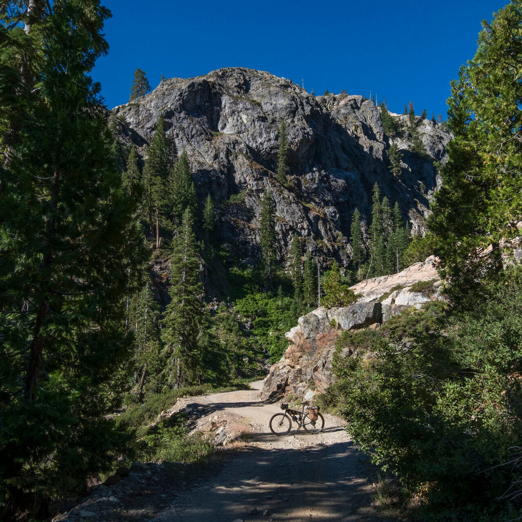
Once you leave Oracle you start the rolling climb up Mt. Lemmon Control Road with a short detour on a lovely section of the AZT trail. Peppersauce campground provides some lovely shade and a place to fill water. Peppersauce cave is also a cool attraction to the area but you will quickly find a dead end unless you want to army crawl through a small space to access the rest of the cave system. Just before the control road gets really steep hook a left for a screaming descent down toward the San Pedro River.
Don’t miss the turn off to a cattle tank to refill water as you descend. After turning off Black Rock Mine Road you will have a rough section of neglected double track, but it has a stunning view of the Galuiro Mountains the whole way down. Once you hit Redington road its time for some nice rollers until you start making your way over Redington Pass.
Your final climb will be Redington Pass which can seem unending as it rolls as it “tops out”. You’ll get a taste of the higher elevation grasslands and amazing views of the possibly snow capped Rincon Mountains. If its hot on your descent I’d highly recommend a dip in Tanque Verde Creek on the way down. Once you hit the bottom of the hill its a quick pedal until you hit the edge of suburbia and find your way back into town.
- Paved: 50% (including paved bike paths from town)
- Smooth Gravel: 30%
- Rough Gravel: 10%
- 4×4 Road: 5%
- Singletrack: 5%
- Water is probably the hardest part of the route. Be prepared to carry around 6 liters between Oracle and Tucson on the second half of the ride.
- No camping between miles 86 and 95 along the San Pedro River.
- Do not attempt this route is the summer months!
- Check out this write up in the Radavist.
- Get the full route on Ride With GPS.
Spencer Harding created and stewards this route. Here is a little about Spencer in his own words:
I started riding bikes in college to get to class and such and quickly fell down the rabbit hole when someone told me I could strap my camping gear to my bike. The Babad Do’ag Backroads was my first true attempt at creating a bikepacking route. After my experiences on many grand departs and popular southwest bikepacking routes I thought I would try my had at adding to the collective route library in the ether.
I currently live in Tucson AZ so the route is literally in my backyard. It was designed to be ridden from town for people in Tucson or people visiting.
Spencer has offered to be available to answer questions if you are planning a trip on this route.
Please also get in touch with any updates on route conditions that may be relevant to other riders.
Please submit your questions and comments on the route via the contact form below.
This route traverses the traditional lands of the Hohokam, Sobaipuri, Tohono O’odham, O’odham Jeweḍ, Ndee/nnēē (Western Apache), and Akimel O’odham (Upper Pima) peoples.