The TransRockies Connector


Region: Utah and Colorado

Season: Summer to Early Fall

Miles: 947   |   Elevation: 76,100′ / 77,000′

Days Out: 14-22   |   Tire Size: ≥ 2.3″”

Difficulty: 6/10 Physical   |  5/10 Technical


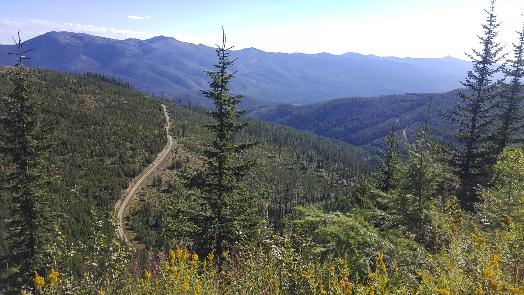
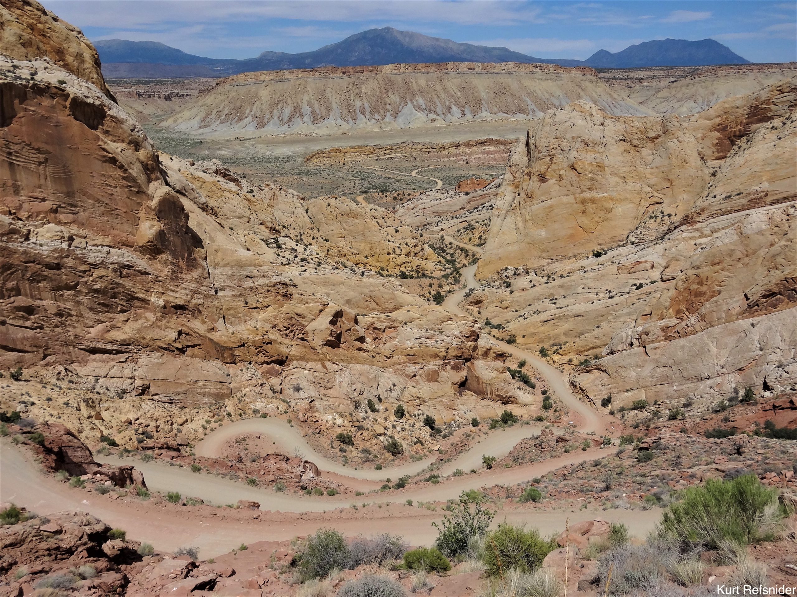
The TransRockies Connector links the WWR near Salt Lake City to the GDMBR at Salida, CO across the Wasatch Plateau, the red rock canyons of the Colorado Plateau, the MTB meccas of Moab and Crested Butte, and the majestic Rocky Mountains.

The Teton Connector


Region: Utah and Colorado

Season: Summer to Early Fall

Miles: 156   |   Elevation: 13,000′ / 12,000′

Days Out: 14-22   |   Tire Size: ≥ 2″”

Difficulty: 5/10 Physical   |  4/10 Technical


The Teton Connector links the WWR near Blackfoot, ID to the GDMBR at Flagg Ranch, WYvia the Snake River Plain, the idyllic Teton Valley, and the rough Big Hole Mountains.⁠

The Bitterroot Connector


Region: Western Montana

Season: Summer to Early Fall

Miles: 128   |   Elevation: 7,000′ / 8,800′

Days Out: 2-3   |   Tire Size: ≥ 1.5″”

Difficulty: 5/10 Physical   |   4/10 Technical


The Bitterroot Connector links the WWR near Darby, MT to the GDMBR near Wise River, MT by way of stunning Sapphire Mountains, Georgetown Lake, and the small mining town of Anaconda.⁠

The Lolo Connector


Region: Western Montana

Season: Summer to Early Fall

Miles: 143   |   Elevation: 11,000′ / 13,000′

Days Out: 2-3   |   Tire Size: ≥ 2″

Difficulty: 4/10 Physical   |   3.5/10 Technical


The Lolo Connector links the WWR near Superior, MT to the GDMBR near Seeley Lake, MT on quiet forest roads, climbing above the Clark Fork River to the rugged, scenic Rattlesnake Mountains.

Craters and Cinder Cones


Region: Central Arizona

Season: Late Spring or Fall

Miles: 184   |   Elevation: 12,000′

Days Out: 3+   |   Tire Size: ≥ 2.3″”

Difficulty: 4.5/10 Physical   |   3.5/10 Technical


Craters and Cindercones follows quiet dirt roads and two-tracks through woodlands and grasslands among 800+ extinct volcanoes, from small cinder cones to the towering San Francisco Peaks.

The Colorado 14ers Loop


Region: Central Colorado

Season: Summer to Early Fall

Miles: 192-285   |   Elevation: 28,500′-50,000′

Days Out: 4-9+   |   Tire Size: ≥ 2.3″”

Physical Difficulty: 6/10 – 10/10

Technical Difficulty: 6/10 – 10/10


The Colorado 14ers Loop meanders among the towering peaks on a single-track rich route with the option to adventure up some of the summits along the way, by bike or by foot.

The Plateau Passage


Region: Nevada, Utah, Colorado

Season: Summer to Early Fall

Miles: 1,218   |   Elevation: 120,000’

Days Out: 30+   |   Tire Size: ≥ 2.3”

Difficulty: 6.5/10 Physical   |   6.5/10 Technical


The Plateau Passage traverses the Colorado Plateau from the edge of the Mojave Desert to the colorful peaks of the San Juan Mountains following remote 4×4 and gravel roads and backcountry singletrack.