Route Overview
Region
Miles
Days Out
Physical Difficulty
Season
or Early Fall
Elevation Gain
Tire Size
Technical Difficulty
Route Map
Route Details
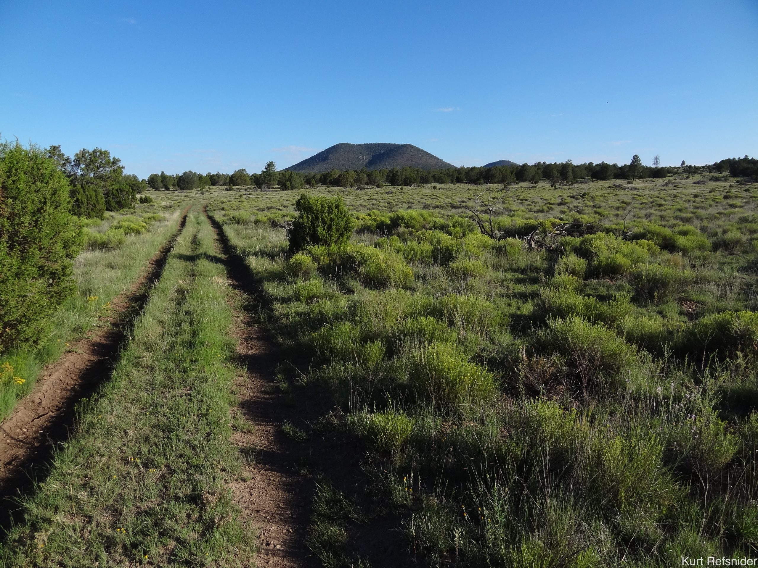
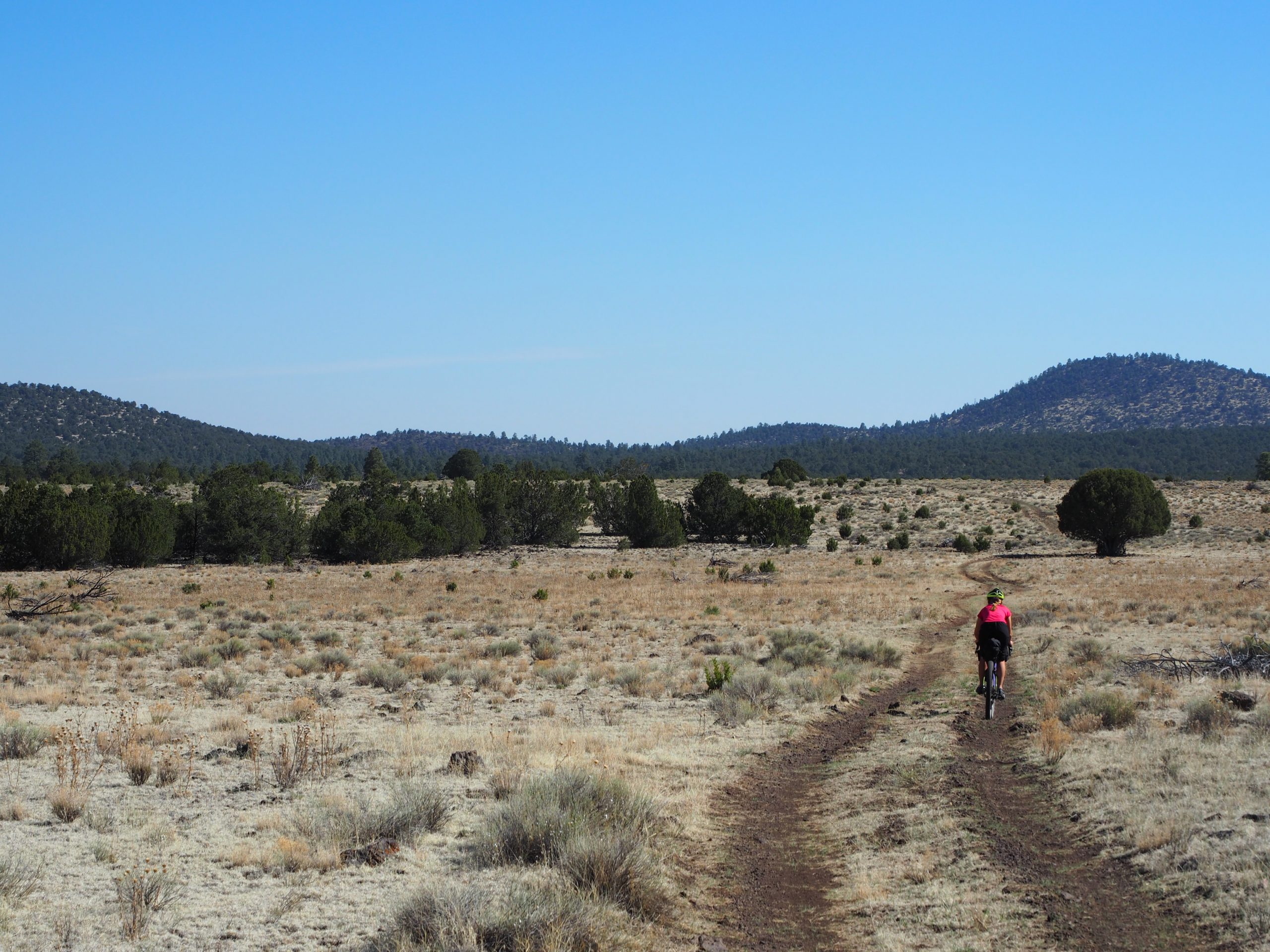
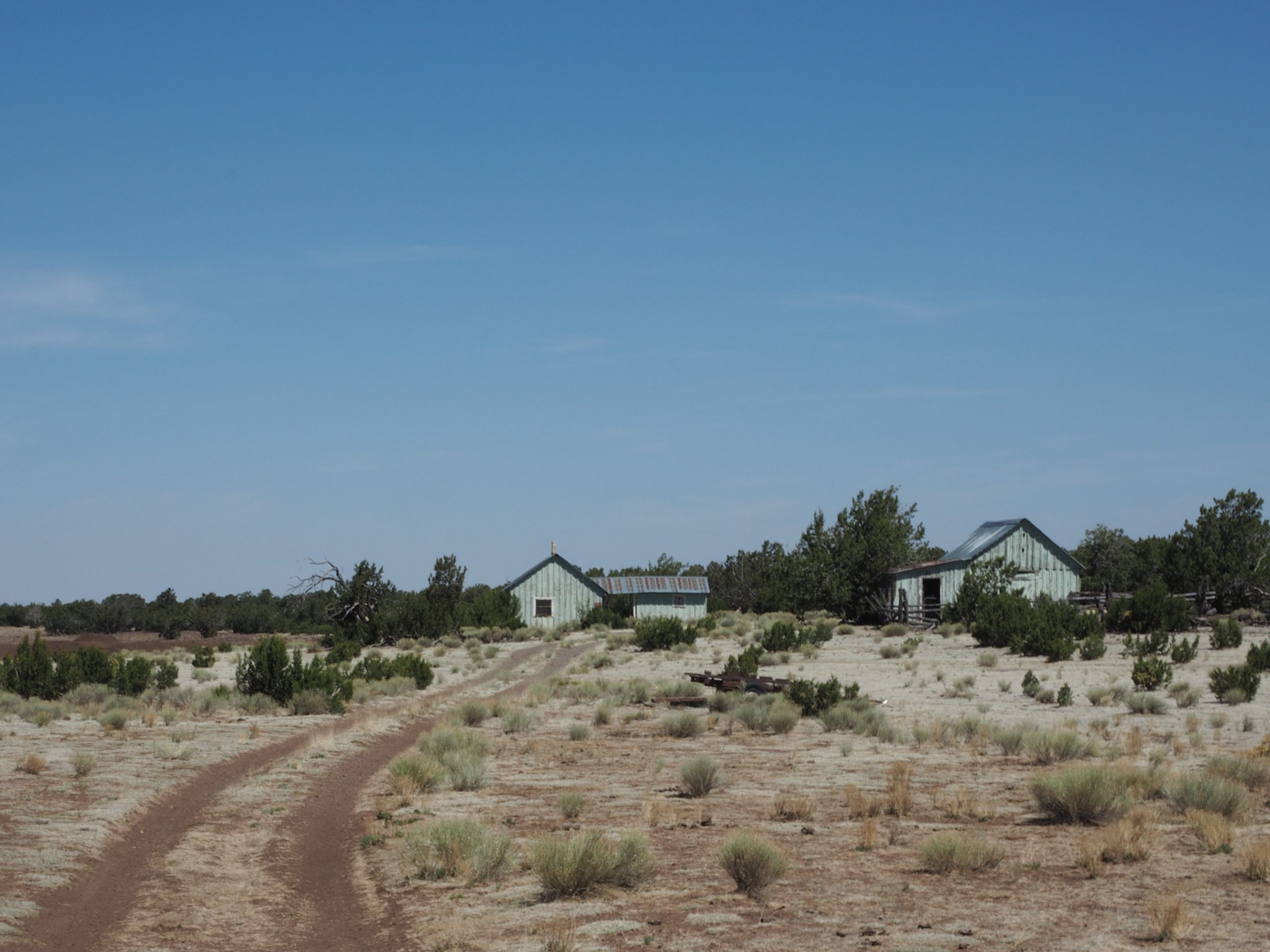
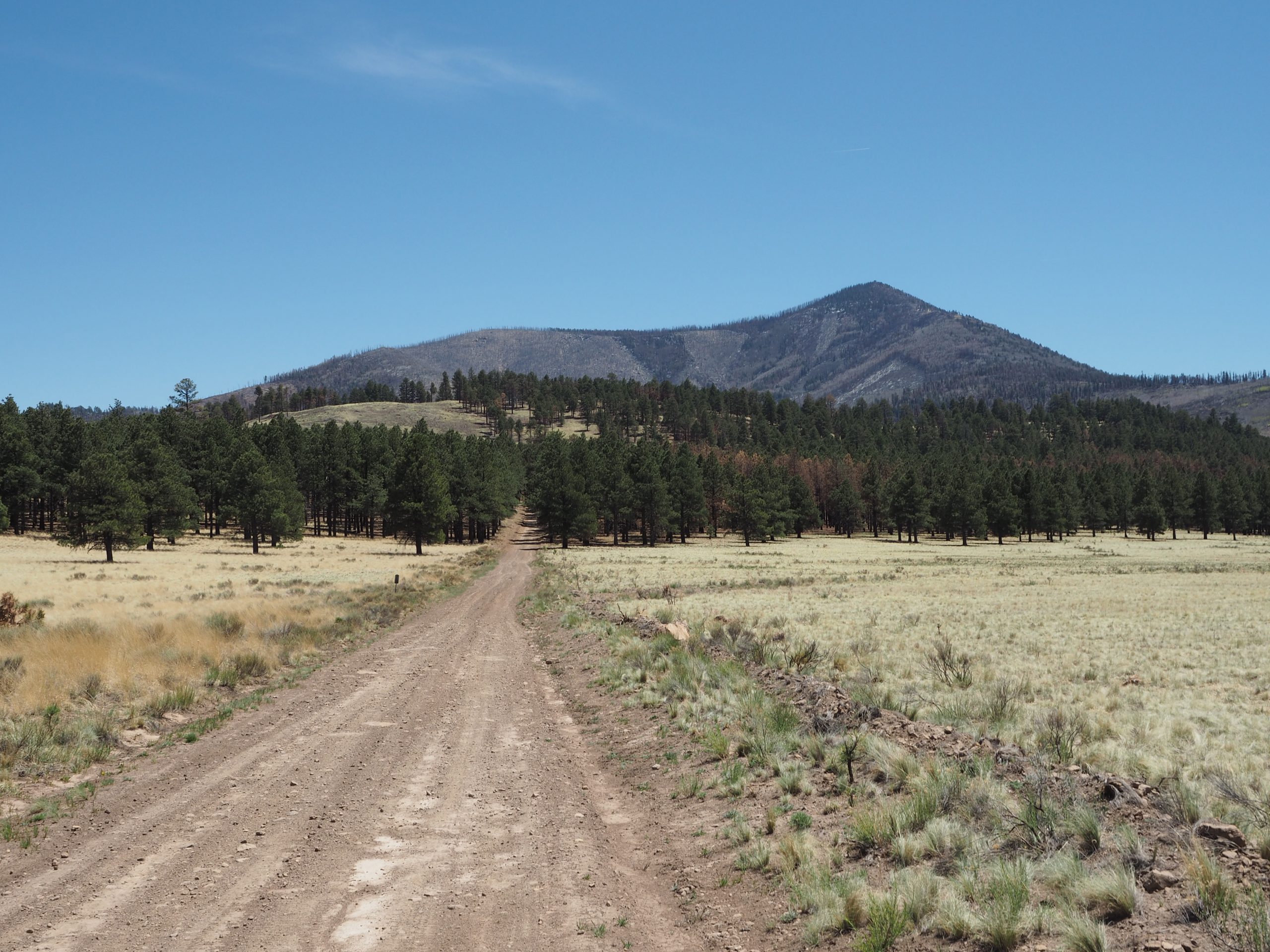
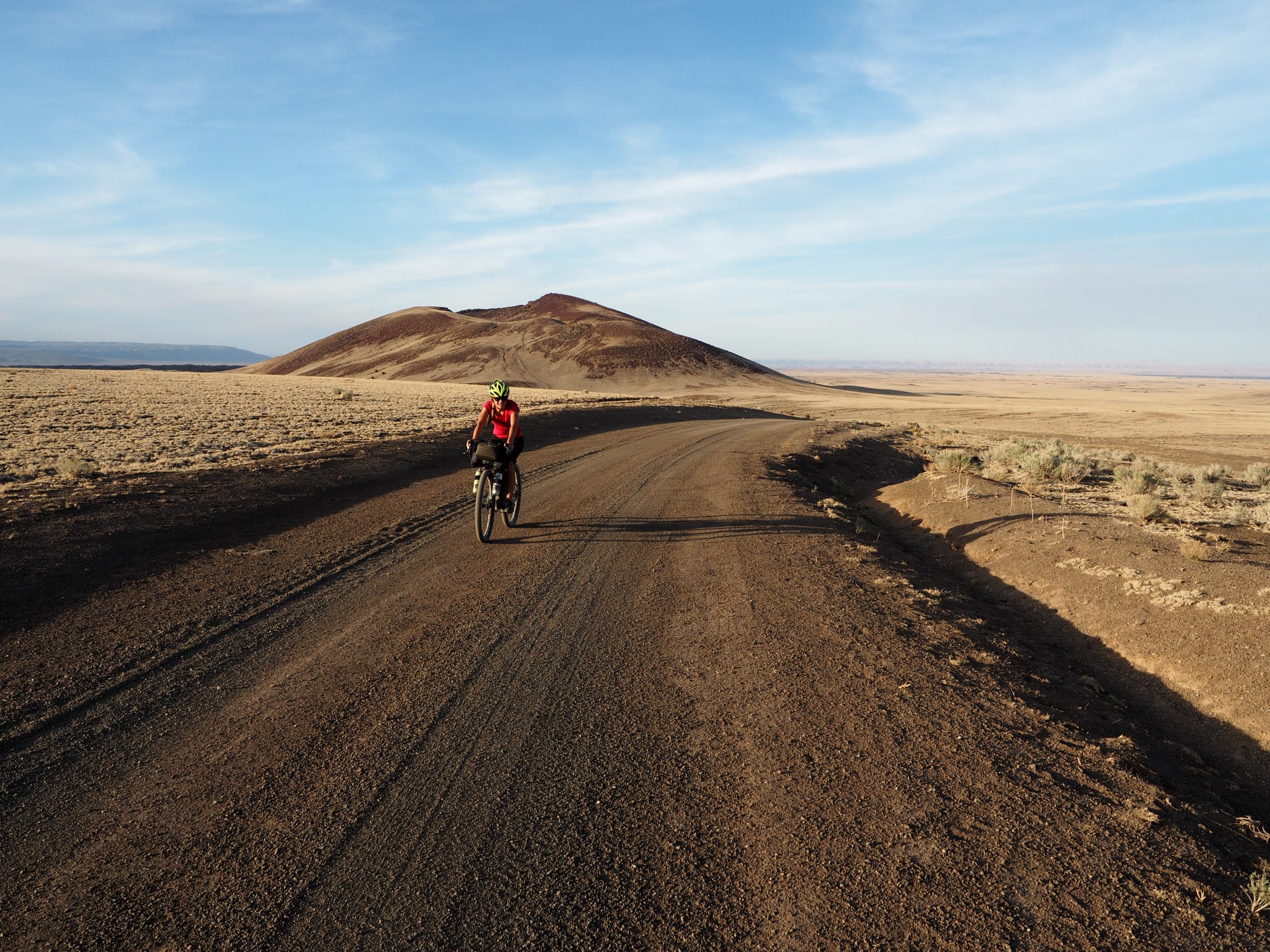
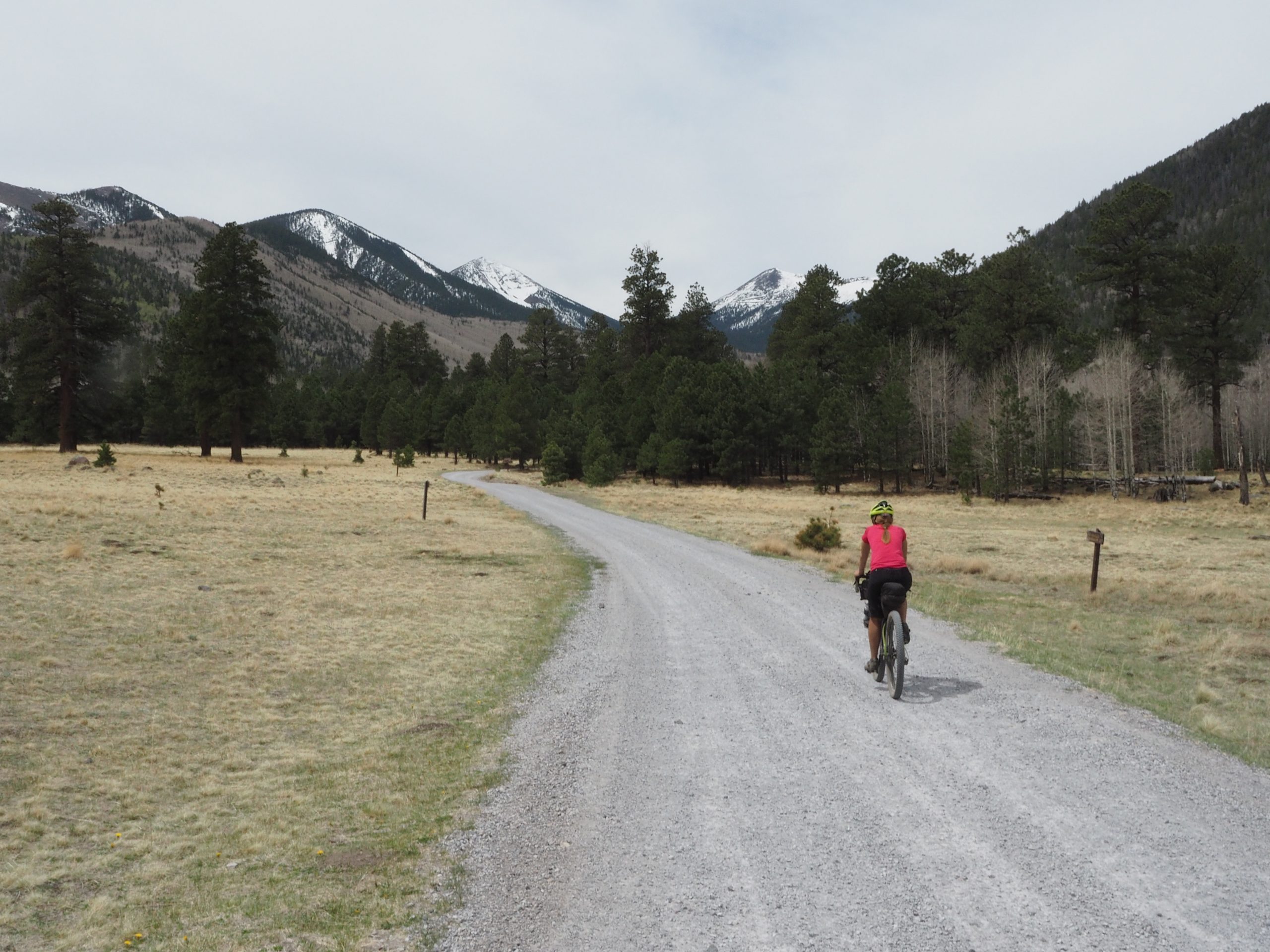
Perfect for bikepackers looking to get off the beaten path while following dirt roads and two-tracks, the loop meanders through 800+ extinct volcanoes of all sizes, from small cinder cones to the towering San Francisco Peaks in northern Arizona.
Optional side trips include fire lookouts, cinder cone summits, and Lava River Cave. This loop also serves as a northern extension to the popular Coconino Loop to create a longer, incredible experience.
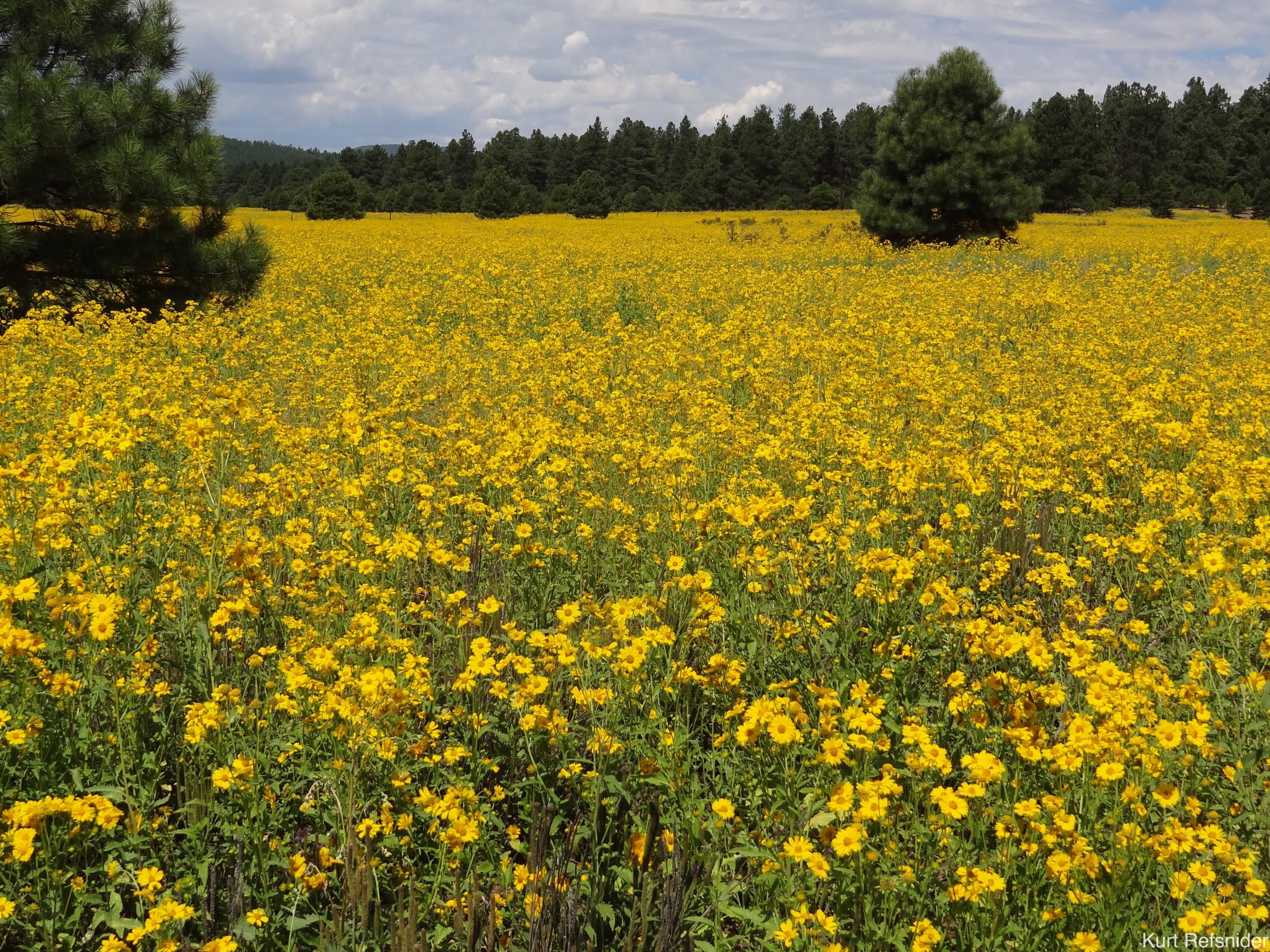
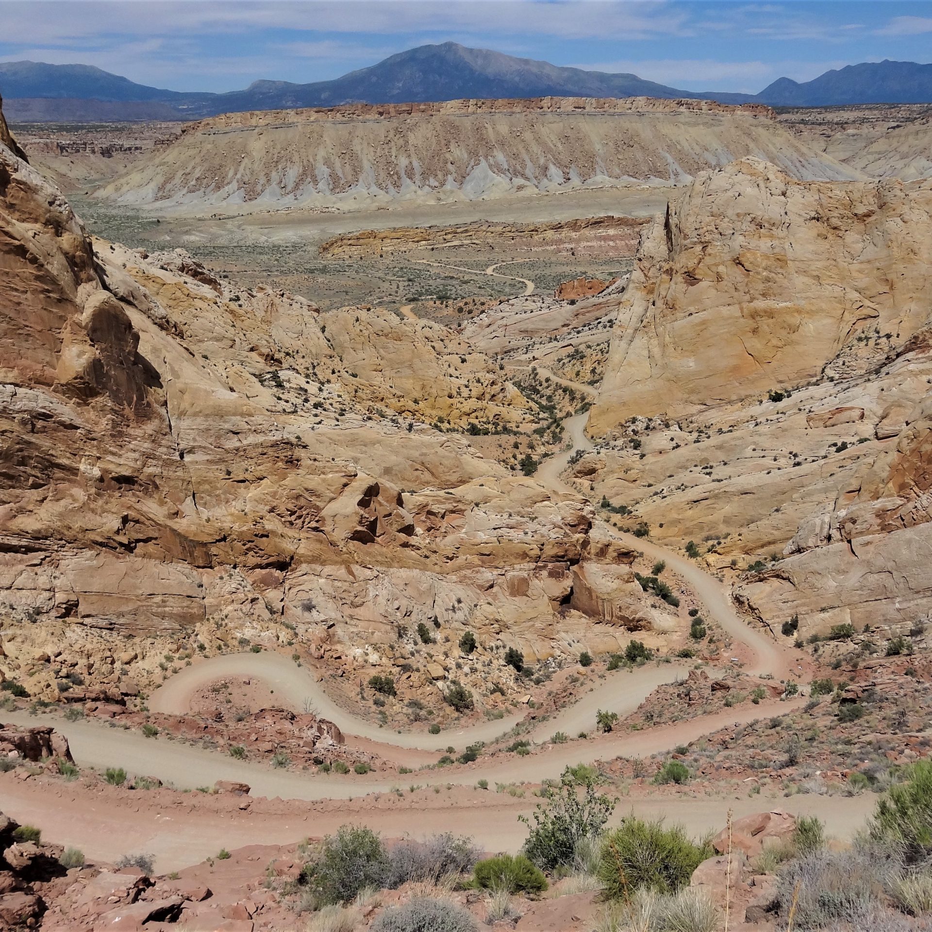
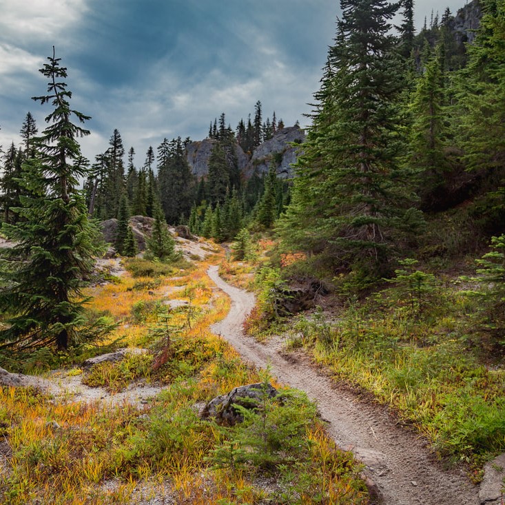
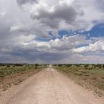
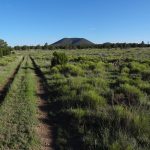
From Flagstaff the route passes through sprawling parks and ponderosa pine forests, to dry pinon-juniper woodlands and then high grasslands and finally into the high aspen forests of the San Francisco Peaks, before descending a hugely scenic non-motorized service road back to Flagstaff.
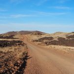
- Quiet, non-technical riding through pine forests and grasslands
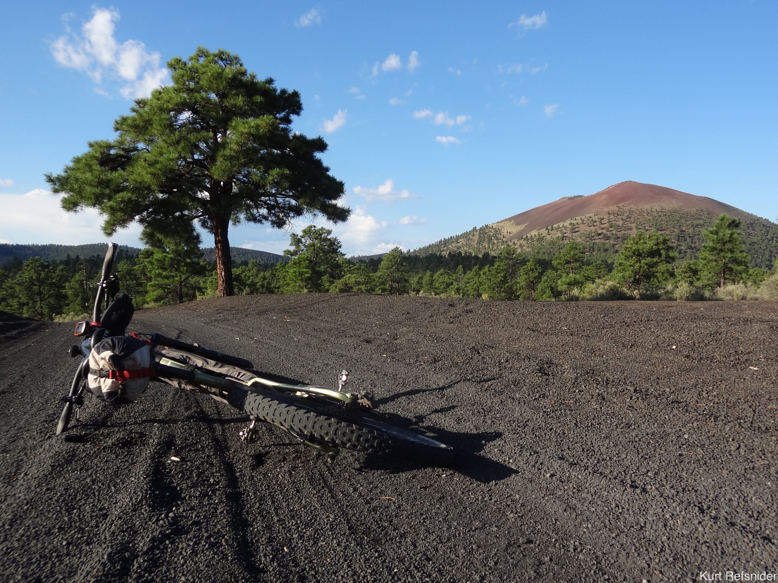
- 1,000-year-old cinder landscapes and lava flows in Sunset Crater National Monument
- San Francisco Peaks’ Inner Basin and the Waterline Road traverse
- Fire lookout side trip options on Red Mountain and O’Leary Peak
- Hike into Lava River Cave, a 0.5-mile-long lava tube
- Climb SP Crater, one of the most striking cinder cones in the area
- What kind of bike should I ride? We recommend a mountain bike with tires at least 2.3” wide.
- What’s the ideal time of year to ride the route? Generally late spring or early fall, but it depends on the year. The route may be ridable in drier winters. See the route guide for more details.
- How long will the route take to ride? Generally 3+ days, but it depends on the rider.
- Do I need any special permits? A Recreation Permit is required for camping on Arizona State Trust Lands . The northern part of the route passes through land owned by Babbitt Ranches. Public access and camping is permitted – please respect their land and stock.
- Are there any specific safety considerations on this route? (1) Do not plan on every stock tank having water, and carry more water than you expect to need. (2) Long stretches of the route can become absolutely impassible when wet. See the route guide for specifics. Pay close attention to weather forecasts and carry extra food in case you need to wait for a road to dry out. See the route guide for more details.
- What is the longest distance between water sources? 50 miles. See the route guide for more details.
- What is the longest distance between resupplies? 120 miles. See the route guide for more details.
- Is it easy to find places to camp? Yes, dispersed camping is often relatively easy to find, but some routes also include some lengthy sections of private lands. See the guidebook for specific restrictions and suggestions.
- Can I ride the route in either direction? Yes. However, the guidebook is for clockwise travel.
- How do I follow the route? These routes are not marked on the ground in any way. You will need to load the route data onto a GPS unit, or use the Bicycle Routes Navigator smartphone app.
This route and associated information is just a starting point for your preparation. Your safety is your responsibility. Check for current conditions, route updates, use common sense, obey local laws and rules, and travel with alternative means of navigation. Bikepacking Roots is not responsible for any injury or damages incurred along this route.
If you ride this route and enjoy it, please consider joining Bikepacking Roots and making a donation to support route development and maintenance.
- Craters and Cinder Cones Loop Route Guide PDF
- Craters and Cinder Cones Loop GPS Track File
- Craters and Cinder Cones Loop GPS Waypoints
- Colorado Plateau PDF Landscape Guide
Check out this great video recap of what it is like to ride this route, by The Seasoned Bikepacker.
If you encounter any inaccuracies or changes please let us know at [email protected]
Updates affecting Craters and Cinder Cones (last updated 16 May 2023)
- Waterline Road just north of Flagstaff on the east side of the San Francisco Peaks is CLOSED to the public for 2023 (USFS closure order and map can be seen here) due to damage from post-fire flooding. Schultz Pass Road east of Schultz Pass is closed to motorized vehicles for this summer, but it is open to non-motorized travel, so please use this detour. Expect sections to be washed out and quite rough due to flood damage.
- New CO Bar Ranch free permit requirement: The northeastern part of the route crosses a checkerboard of State Trust and private lands of the CO Bar Ranch. Access to the ranchlands (for camping or crossing on 2-tracks) now requires a free permit available here; also see that page for ranch rules and requests.
- SP Crater closure: On the northeast part of the route, the SP Crater area has recently been designated as the SP Crater Golden Eagle Complex and is closed to public recreation annually from January 1 to May 31. This closure includes the area 2 mile radius of SP Crater, so camping and hiking are prohibited during this time. More information about the Golden Eagle Complex can be found here.
- The Craters and Cinder Cones Loop was developed by Kurt Refsnider to create a northern extension to the popular 250-mile Coconino Loop (developed by Scott Morris and Chad Brown) and to share with bikepackers one of Kurt’s favorite Arizona landscapes.
- The route traverses the traditional lands of the Hohokam, Pueblo, Zuni, Hopi, Western Apache, Dine (Navajo) and Havasupai peoples.