
Route Overview
Region
Western Montana
Miles
143
Days Out
2-3
Physical Difficulty
6/10
Season
Summer to Early Fall
Elevation Gain
11,000' Eastbound
13,000' Westbound
13,000' Westbound
Tire Size
≥ 2”
Technical Difficulty
5/10


Route Map
Route Details
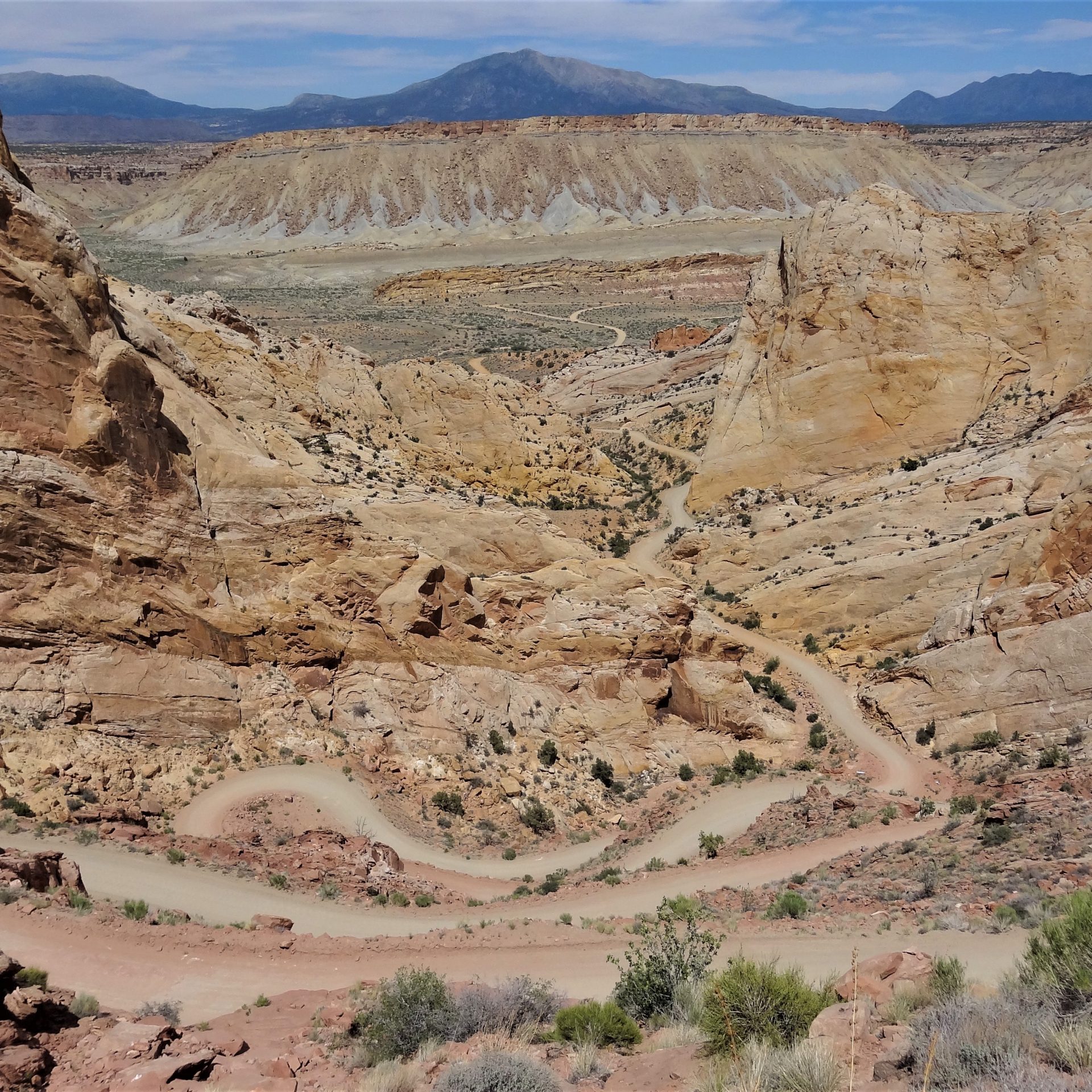
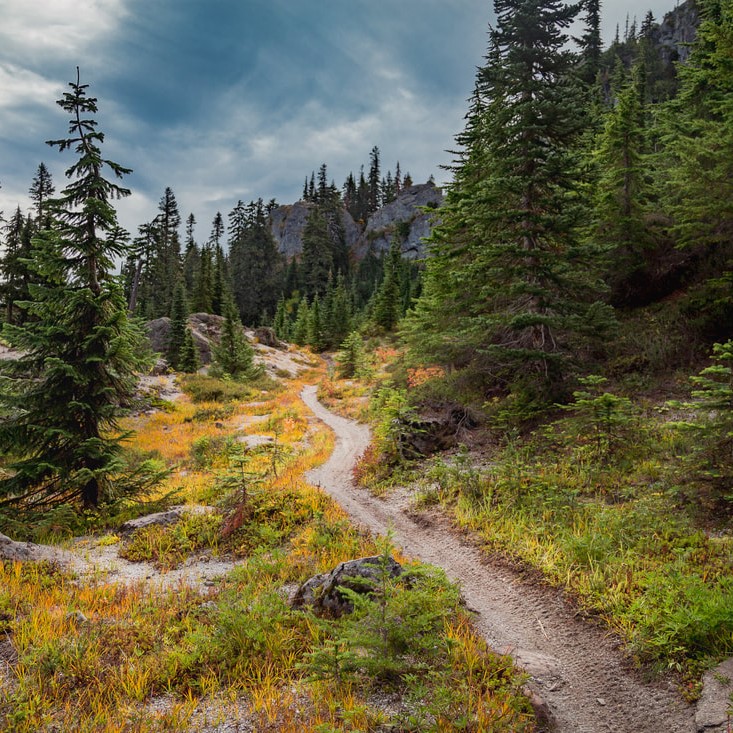
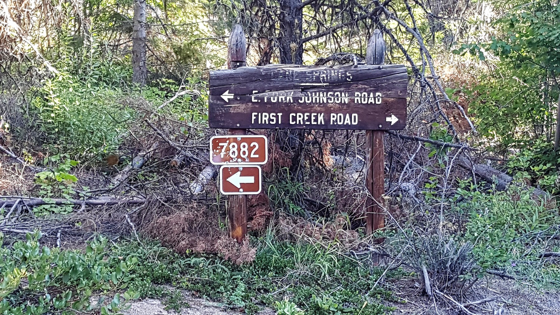
The Lolo Connector links the WWR at Superior, Montana to the GDMBR at Seeley Lake, MT. Heading eastbound, the route climbs over the tall Ninemile Divide, drops into the Clark Fork Valley, and then climbs over the southern end of the scenic Rattlesnake Mountains before descending to the Clearwater River at Seeley Lake. Most of the riding is on forested gravel roads with sections of rougher 4×4 tracks, a bit of singletrack, and some overgrown old logging tracks in the more rugged terrain between Missoula and Seeley Lake.
- Cresting the Ninemile Divide, a full 4,000’ above the Clark Fork River
- Visiting Adventure Cycling Association’s headquarters in Missoula
- The rugged and wild traverse of the southern Rattlesnake Range (but expect the miles to be a little overgrown and on the slower side at time)
- What kind of bike should I ride? We recommend a mountain bike with tires at least 2” wide.
- What’s the ideal time of year to ride the route? Generally summer to early fall, but it depends on the year. See the route guide for more details.
- How long will the route take to ride? Generally 2 to 3 days, but it depends on the rider.
- Do I need any special permits? No permits are needed for riding on this route.
- Are there any specific safety considerations on this route? This route traverses grizzly and black bear country. See the route guide for more details.
- What is the longest distance between water sources? 35 miles. See the route guide for more details.
- What is the longest distance between resupplies? 75 miles. See the route guide for more details.
- Is it easy to find places to camp? Yes, dispersed camping is often relatively easy to find, but some routes also include some lengthy sections of private lands. See the guidebook for specific restrictions and suggestions.
- Can I ride the route in either direction? Yes. However, the guidebook is written west-to-east.
- How do I follow the route? These routes are not marked on the ground in any way. You will need to load the route data onto a GPS unit, or use the Bicycle Routes Navigator smartphone app.
- Why didn’t you include x road/area in these routes? There are infinite possibilities for creating routes. Our choices include a range of considerations that aim for the most enjoyable riding experience possible.
- Are you going to organize races on any of these routes? We are not, and we do not encourage any sort of racing on these routes.
- Get the GPS waypoints and PDF Route Guide
- Or, find the Bicycle Route Navigator App in your phone’s app store
If you encounter any inaccuracies or changes please let us know at [email protected]
- There are no route updates yet.
- Kurt Refsnider, Tom Anderson and Casey Greene for their route development.
- The Adventure Cycling Association for partnering with us to develop this route.
- This route traverses the traditional lands of the Salish, Ktunaxa, and Coeur d’Alene peoples.


