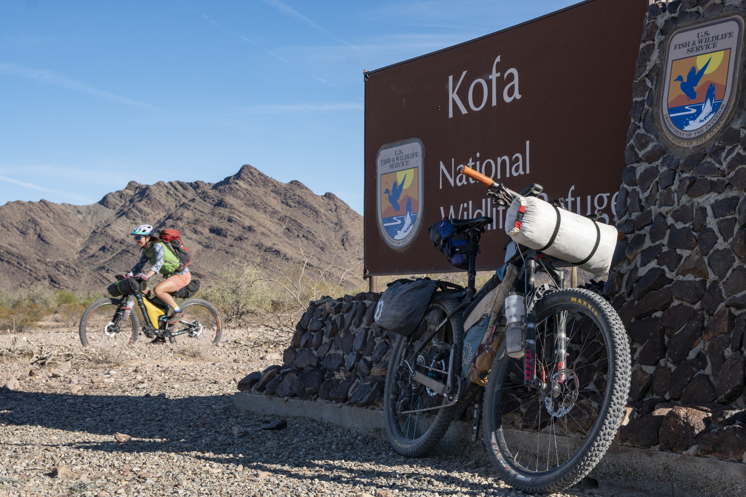
Kofa National Wildlife Refuge Bikepacking Tour


Region: Arizona

Season: Winter

Miles: 125/190  |  Elevation: 5,000/12,000′

Days Out: 3-5  |  Tire Size: ≥ 2.4″”

Difficulty: 5/10 Physical   |  5/10 Technical


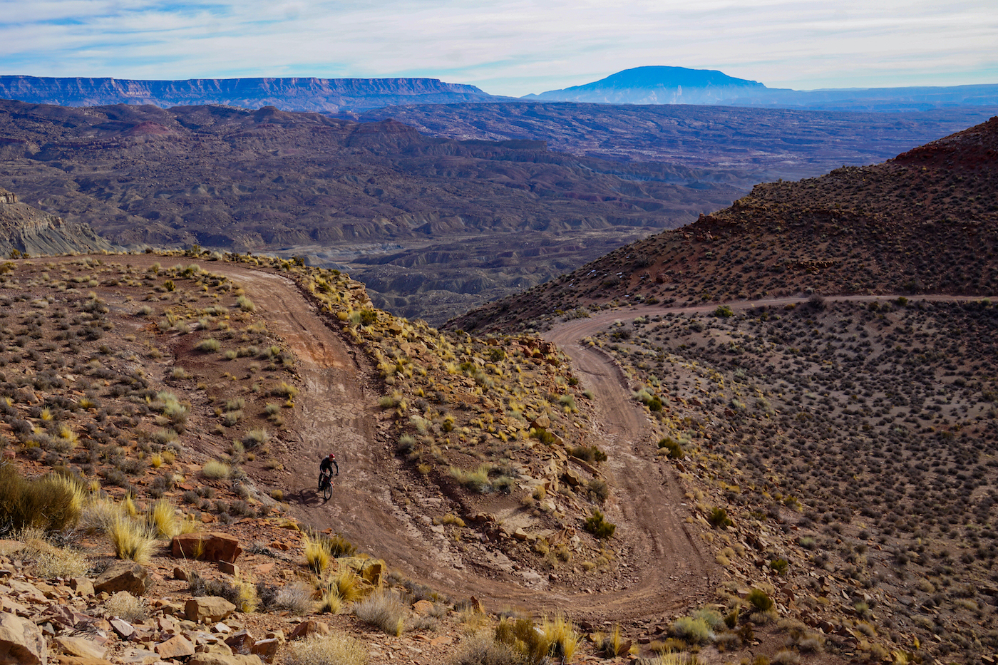
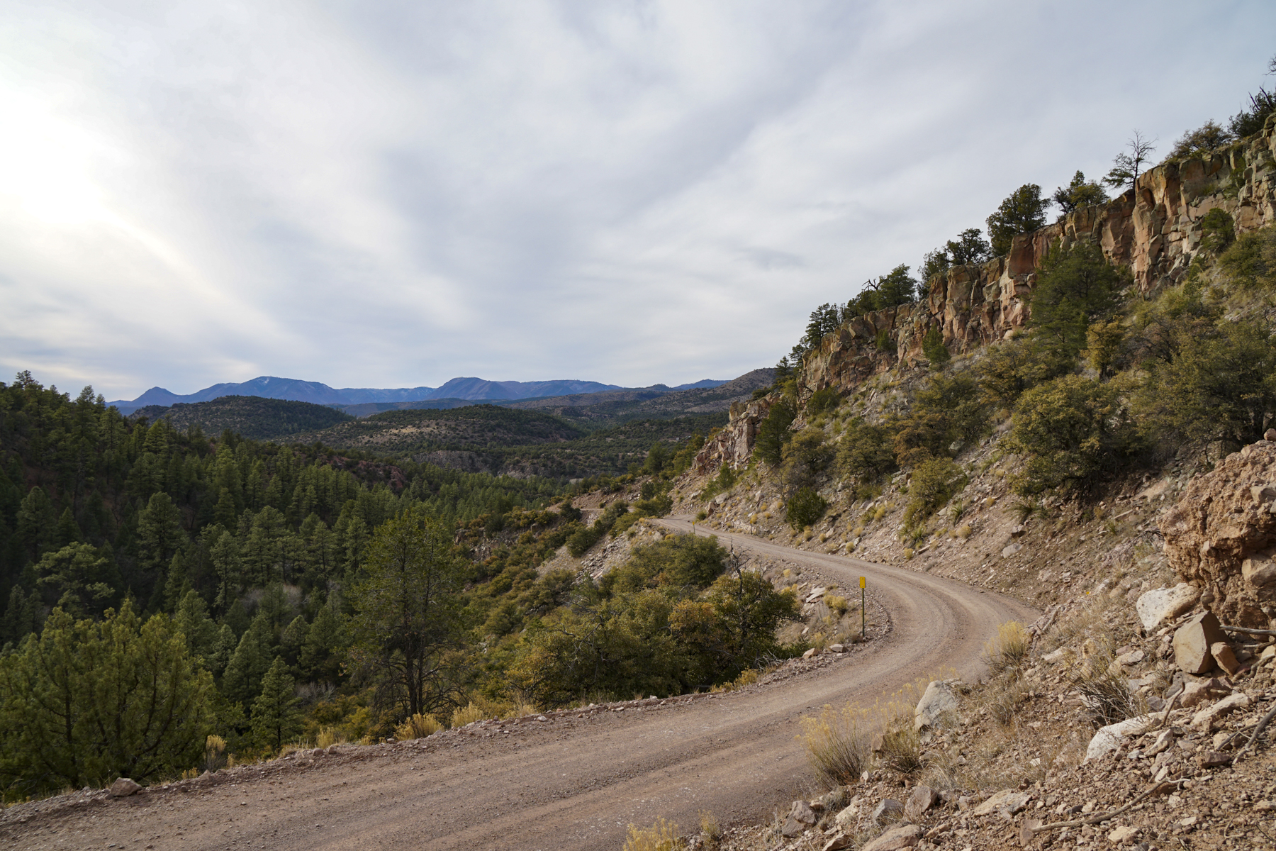
This delightful desert tour is on 100% dirt, 100% public lands, through stunning mountains, and with reliable water sources – it’s a fantastic 3- to 5-day winter bikepacking trip! The long version of the route includes 2-3 opportunities to scramble up desert peaks and hike into deep canyons along the way, and the shorter version bypasses those side adventures.

Grand Staircase-Escalante National Monument High Plateaus Loop


Region: Utah

Season: Late spring to late fall

Miles: 170  |  Elevation: 13,000′

Days Out: 3-5  |  Tire Size: ≥ 2.4″”

Difficulty: 6/10 Physical   |  5/10 Technical


This 170-mile loop follows the most seldom-traveled and arguably most scenic backcountry roads through Grand Staircase – Escalante National Monument through beautiful and remote Colorado Plateau country. Best ridden in late spring or autumn, this loop offers 3+ days of 4×4 riding and solitude.

Alpine #7


Region: Montana

Season: Mid-Summer – Early Fall

Miles: 76  |  Elevation: 14,000′

Days Out: 2-3  |  Tire Size: ≥ 2.3″”

Difficulty: 8/10 Physical   |  8/10 Technical


Offering some of the most stunning ridge crest riding in the northern Rockies, the Alpine #7 experience is a particularly rewarding (and technical) one. This trail is most often ridden as a series of day rides, but it can also be enjoyed as a bikepack over a few days, as a longer loop combined with part of the Great Divide MTB Route, or an absolutely massive one-day effort.

A Chihuahuan Desert Loop


Region: Arizona/New Mexico

Season: Fall/Winter/Spring

Miles: 256  |  Elevation: 11,000′

Days Out: 3-5  |  Tire Size: ≥ 1.75″”

Difficulty: 4/10 Physical   |  3/10 Technical


A Chihuahuan Desert bikepacking experience among the Sky Islands, desert grasslands, and diverse valleys of the Arizona/New Mexico borderlands. The route follows gravel roads, quiet pavement, and a few mellow sections of 4×4 tracks. It’s a fast-riding route that can be done on a gravel or mountain bike (just know that Arizona gravel tends to be a bit rougher and bigger than gravel in many other parts of the U.S.).

The Western Wildlands Route


Region: Idaho, Montana, Utah, Arizona

Season: Summer to Early Fall

Miles: 2,700  |  Elevation: 120,000′

Days Out: 40-65  |  Tire Size: ≥ 2.2″”

Difficulty: 5/10 Physical   |  4.5/10 Technical


The Western Wildlands Route is a non-technical expedition, immersing riders in vast expanses of wild and public lands in the Intermountain West.

The Pony Express


Region: Missouri to California

Season: Spring to Early Fall

Miles: 2,208   |   Elevation: 80,000′

Days Out: 30-55   |   Tire Size: ≥ 2″”

Difficulty: 4/10 Physical   |   4/10 Technical


The Pony Express Route follows the famed mail trail from smoother riding in the East to rugged and remote riding in the West, tracing Indigenous and settler history along the way.

The Northwoods Route


Region: Minnesota, Michigan, Wisconsin

Season: Late Spring to Early Fall

Miles: 630   |   Elevation: 22,000′

Days Out: 9-12   |   Tire Size: ≥ 1.75″”

Difficulty: 4.5/10 Physical   |   4/10 Technical


The Northwoods Route circumnavigates the west end of Lake Superior following gravel roads, smooth two-tracks, and rail trails, through thick forests, along countless lakes, and to Isle Royale National Park.

The Bears Ears Loops


Region: Central Utah

Season: Late Spring or Early Fall

Miles: 647   |   Elevation: 47,000′

Days Out: 9-14   |   Tire Size: ≥ 2.3″”

Difficulty: 6/10 Physical   |   4.5/10 Technical


The Bears Ears Loops immerses bikepackers in the magnificent, immense, complex and threatened landscape in and around Bears Ears National Monument.

The Chihuahuan Connector


Region: Arizona and New Mexico

Season: Spring or Fall

Miles: 283   |   Elevation: 11,800′ / 13,800′

Days Out: 4-6   |   Tire Size: ≥ 2″”

Difficulty: 4.5/10 Physical   |  4/10 Technical


The Chihuahuan Connector links the WWR near Tombstone, AZ to the GDMBR near Hachita, AZ across broad valleys, tall mountains, and rolling grasslands, past Chiricahua National Monument and the desert oasis of Cave Creek.

The Mogollon Connector


Region: Arizona and New Mexico

Season: Late Spring to Fall

Miles: 356   |   Elevation: 25,800′ / 22,500′

Days Out: 5-7   |   Tire Size: ≥ 2″”

Difficulty: 6/10 Physical   |  5.5/10 Technical


The Mogollon Connector links the WWR near Forest Lakes, AZ to the GDMBR near Truth or Consequences, NM. It traverses the ponderosa pines of Arizona’s high country, across volcanic fields, past the White Mountains, and through the Blue River Canyon.