



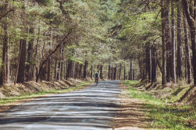
The Pine Curtain of Texas
Region: East Texas
Season: Anytime except summer (primarily from June-August)
Miles: 280 | Elevation: 11,100’
Days Out: 3 | Tire Size: ≥ 38mm
Difficulty: 3/10 Physical | 3/10 Technical
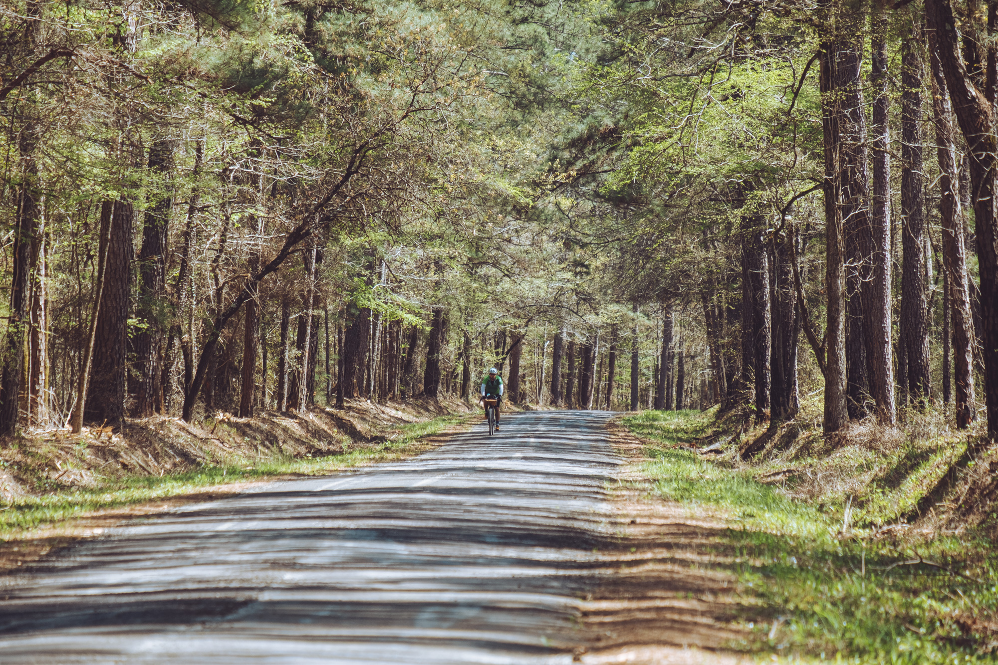
The East Texas Piney Woods is a unique region of Texas that is very sparsely populated with people, but it makes up for that with an abundance of Loblolly Pine Trees. If you want to experience a part of Texas that is unknown to even most locals, this route is for you!


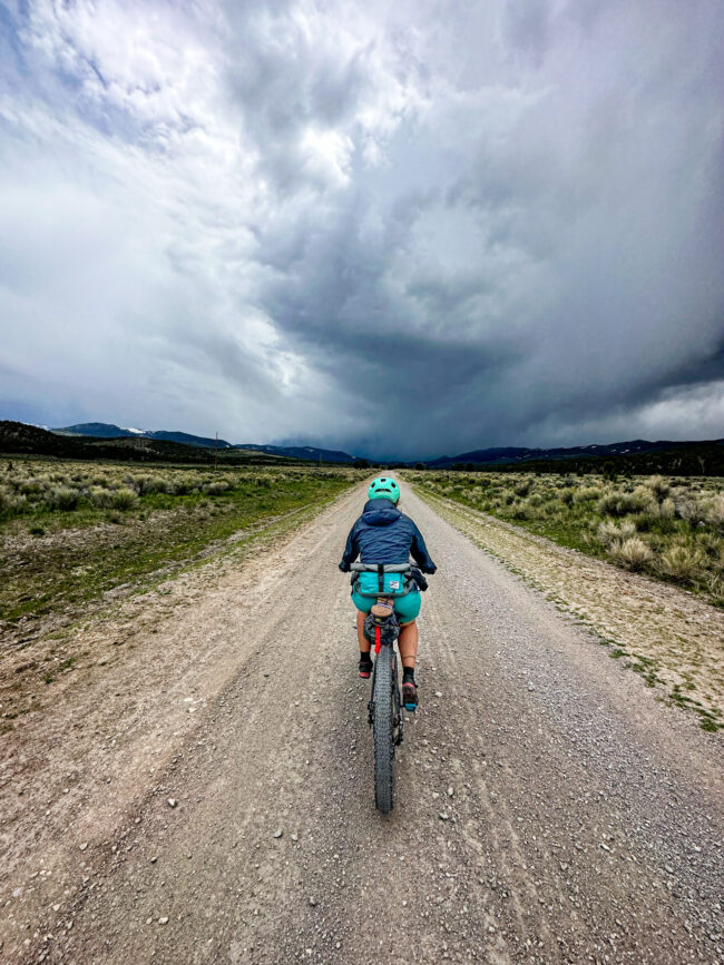
Schell Kick Your Ass
Region: Nevada
Season: May to June, perhaps April depending on snowpack
Miles: 124 | Elevation: 11,100’
Days Out: 2-3 | Tire Size: 2.2″ to Fat Tires
Difficulty: 5/10 Physical | 3/10 Technical
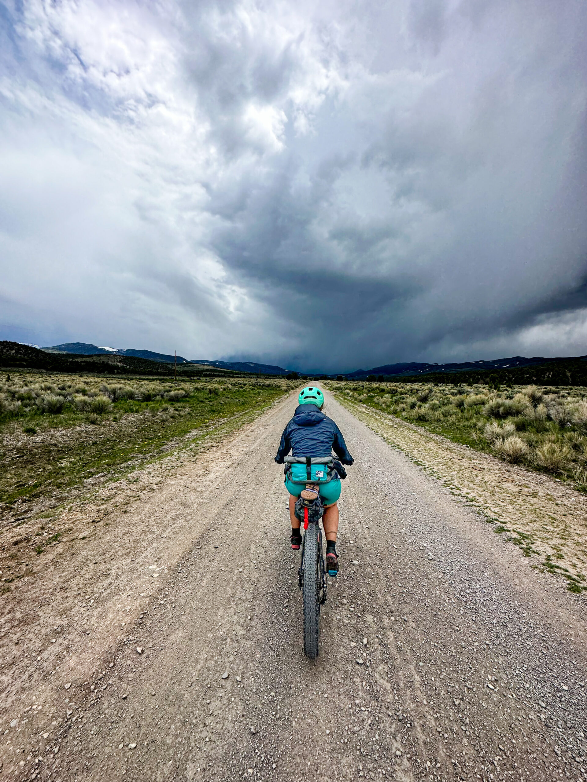
Prepare to have your perception of Nevada forever transformed. Brace yourself for high alpine passes reaching 9,000 feet, vast desert basins, and landscapes reminiscent of the stunning vistas found in Kyrgyzstan. This adventure will redefine how you see the Silver State.
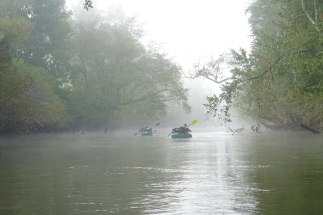
Pisgah Paddler
Region: North Caroina
Season: Fall
Miles: 54 | Elevation: 3,800’
Days Out: 1-2 | Tire Size: 2.1″ to 2.4″
Difficulty: 4/10 Physical | 3/10 Technical
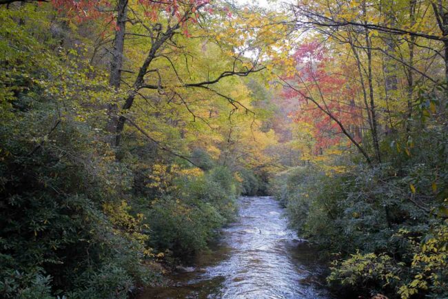
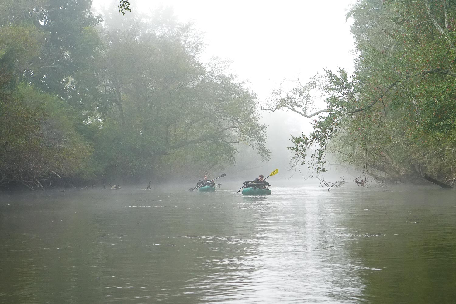
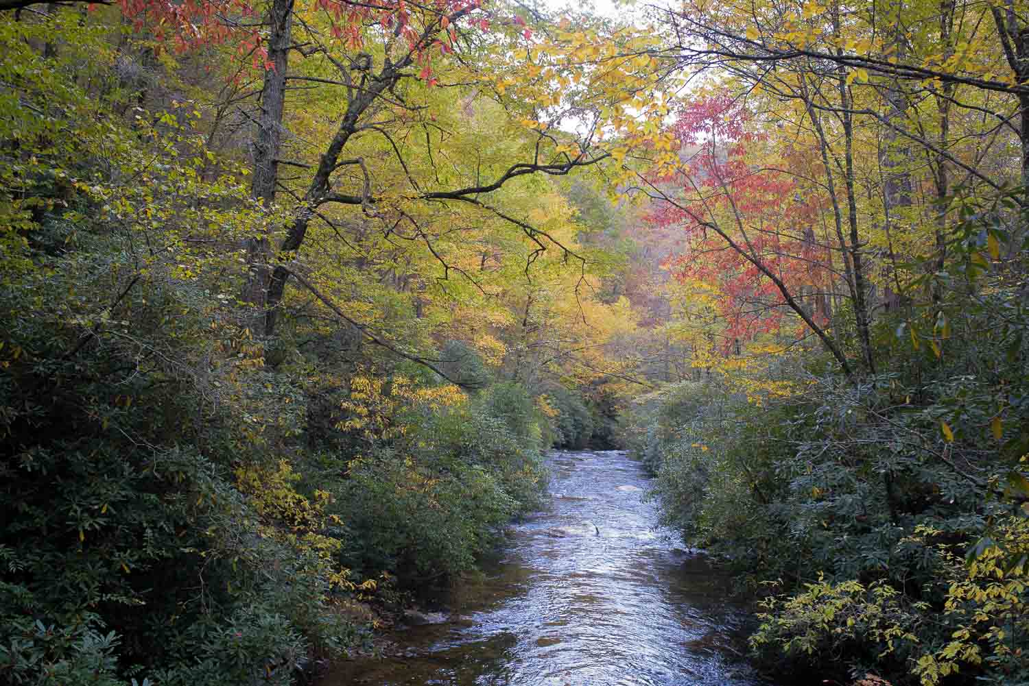
Pisgah Paddler is a beginner-friendly bikerafting loop consisting of a ride through Pisgah National Forest and a float along the French Broad River. Ideal for a 1 or 2 night ride with camping options both off trail and off river. The mostly-gravel route contains steep climbs, winding descents, minor fords, a quick hike-a-bike, singletrack, and a short ride through the town of Etowah. Paddle-in only campsites are available along the French Broad River Paddle Trail, and plenty of dispersed camping can be found throughout Pisgah National Forest. The packrafting section of this route is primarily flat water, perfect for gaining experience.
Roll Call
Region: North Carolina
Season: Year Round
Miles: 44 | Elevation: 4,400’
Days Out: 1-2 | Tire Size: 40mm-2.4″
Difficulty: 4/10 Physical | 3/10 Technical
Roll Call is an overnight bikepacking trip starting from The Hub in Brevard, NC. Ridden counter clockwise you will climb up gravel roads and enjoy fast and flowy singletrack descents in the Pisgah National Forest, Ranger District. Camping options are sprinkled throughout the route at campgrounds or primitive riverside tent sites. Great views of Looking Glass Rock and riverside riding make this one of our favorite quick overnights in the area.
The St. Joe Sampler
Region: Idaho
Season: Summer and early fall. Must be after snowmelt and before snowfall.
Miles: 138 | Elevation: 12,200’
Days Out: 2-4 | Tire Size: ≥ 2.0″
Difficulty: 6/10 Physical | 5/10 Technical
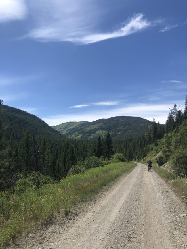
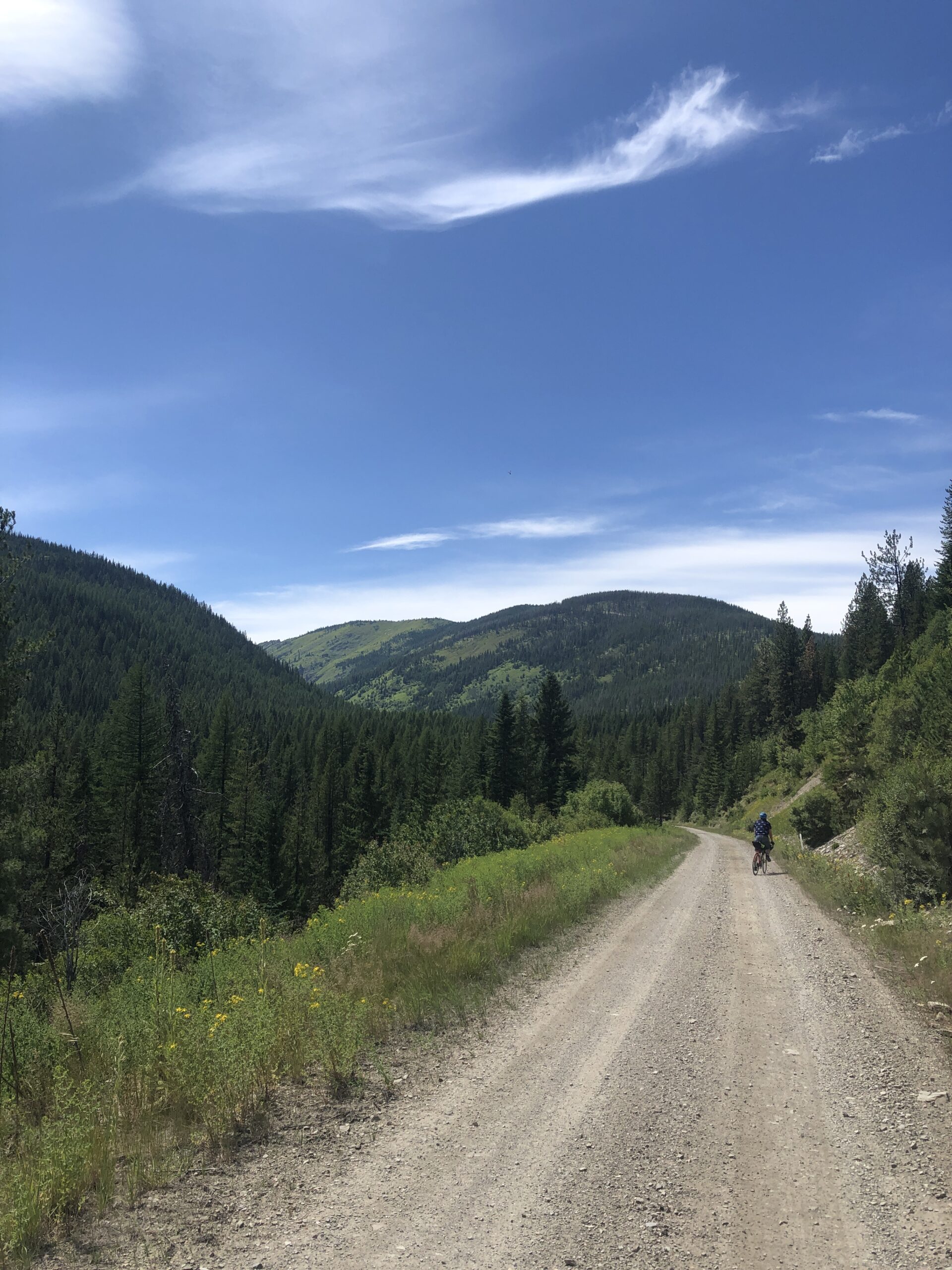
The St. Joe Sampler is a scenic route connecting rail trails, backcountry roads, and spectacular views. Ride the Montana/Idaho State line high above the canyon before descending down to the Wild and Scenic St. Joe River.
Land Between the Lakes
Region: Southwestern Kentucky
Season: Any time
Miles: 63 | Elevation: 3,700’
Days Out: 1-2 | Tire Size: 40mm to 2.5″
Difficulty: 3/10 Physical | 4/10 Technical
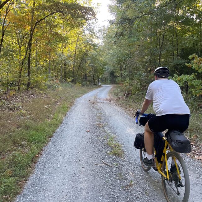
Land Between the Lakes (LBL), takes its inspiration from the route for the April Fool’s Gravel Camp, hosted by Gear Up Cycles each spring. Matt Falwell, the event organizer, has come up with a route that Kentucky Cycles dialed up into a great overnight bikepacking route. You’ll enjoy pristine gravel roads, scenic lake-front camping, and abundant wildlife spotting.
State Park Trio
Region: Iowa
Season: April to October
Miles: 305 | Elevation: 9,700’
Days Out: 4-6 | Tire Size: 1.4”-2.0″
Difficulty: 4/10 Physical | 2/10 Technical
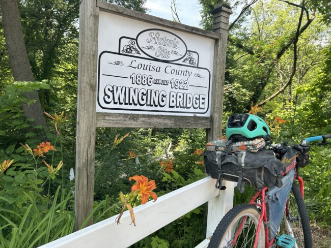
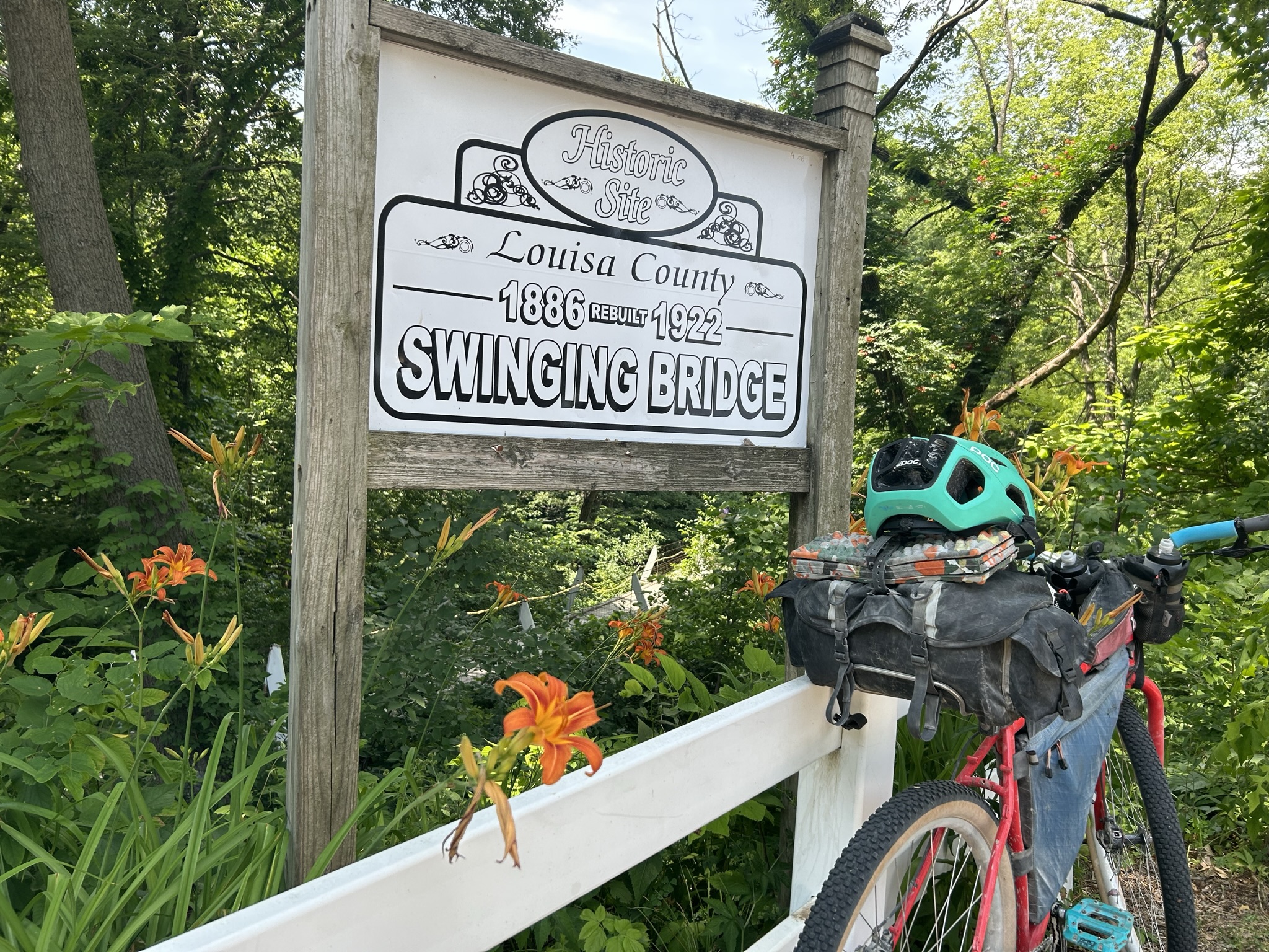
The State Park Trio route is on lightly trafficked gravel roads with just enough hills to provide beautiful vistas, cemeteries for the history buffs in us all and swimming holes to keep you cool on hot summer days.





Tour de Nicolet
Region: Wisconsin
Season: April-Mid November
Miles: 365 | Elevation: 17,000’
Days Out: 5-8 | Tire Size: ≥ 2.0”+
Difficulty: 4/10 Physical | 4/10 Technical
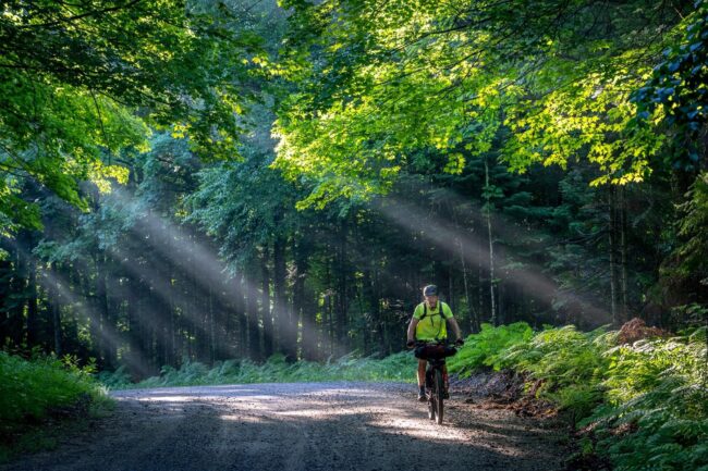
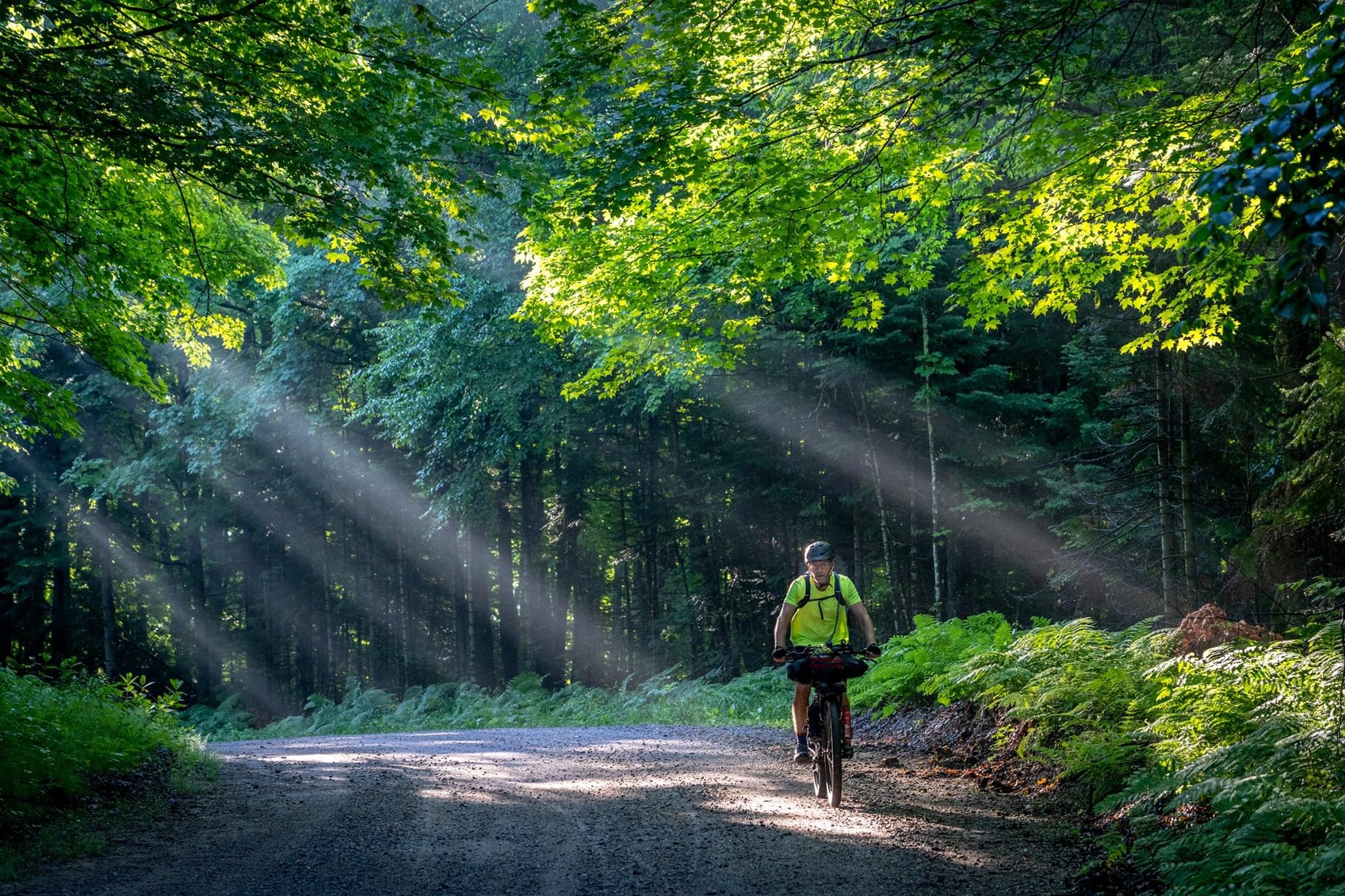
The Tour de Nicolet takes riders through the majority of the Nicolet National forest traveling through old logging towns on lesser known roads and paths, following the constant paths of rivers and streams with lakes scattered throughout.