Rollin’ and Tumblin’


Region: Southern New Mexico

Season: Late April to September

Miles: 151  |   Elevation: 15,235’

Days Out: 2-4  |  Tire Size: 1.7-2.6″

Difficulty: 7/10 Physical   |  3/10 Technical


Primarily using well maintained gravel, this high altitude route offers respite from the summer heat in the surrounding lowlands. Endless climbs along creeks, through aspen groves, and past elk herds, are only broken up momentarily when passing through tiny mountain villages. Climb, descend, repeat.

The Monumental Loop 2.0


Region: Southern New Mexico

Season: October to March

Miles: 250  |   Elevation: 8,850’

Days Out: 4-5  |  Tire Size: 2.2″

Difficulty: 6/10 Physical   |  7/10 Technical


The Monumental Loop takes in all that Organ Mountain Desert Peaks National Monument has to offer and links it together with dirt roads through the Rio Grande Valley. Small towns full of spicy food break up the solitude of the desert.

Great Rift Dirt Tour


Region: Idaho

Season:Late April – Late June and September – October

Miles: 558  |   Elevation: 10,000’

Days Out: 4-6  |  Tire Size: ≥ 2.2″

Difficulty: 8/10 Physical   |  4/10 Technical


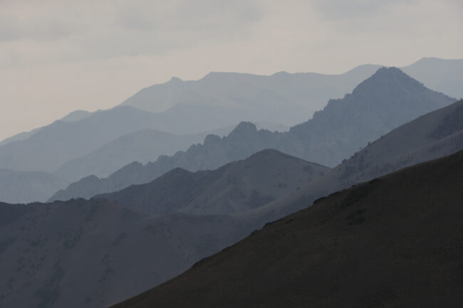
Connecting rugged doubletrack and backcountry roads, The Great Rift Dirt Tour highlights the vast terrain of the Sagebrush Steppe on the Columbia Plateau. Over 283 miles, the route skirts expansive lava flows among nearby mountains and traveling deep into the remote high desert of the Snake River Plain. This Idaho bikepacking route is truly a remote, soul-searching odyssey!

Babad Do’ag Backroads


Region: Southern Arizona

Season: October to March

Miles: 138   |  Elevation: 7,984“

Days Out: 2-4  |  Tire Size: ≥ 2.2″

Difficulty: 6/10 Physical   |  6/10 Technical


A sampler of everything the Tucson area has to offer from our paved bike paths to a very short section of the AZT trail. The ride can be done in 2 to 4 days depending on how hard to want to push and your ability to carry water. The route allows you to pedal from town without needing any vehicle shuttling for those flying in for some great winter weather.

Queen’s Ransom


Region: Arizona

Season: Mid-October to Mid-April

Miles: 225  |   Elevation: 17,000’

Days Out: 4-6  |  Tire Size: 2.4-3.0″

Difficulty: 8/10 Physical   |  8/10 Technical


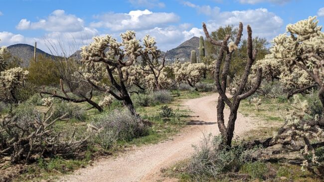
The Queen’s Ransom is a 227-mile bikepacking route around the greater East Valley of metro Phoenix, Arizona. It weaves together many of the area’s popular singletrack trail systems, regional parks, and the Arizona National Scenic Trail amid stunning topography, rolling dirt roads, and challenging terrain.

The Grand Loop


Region: Utah and Colorado

Season: Late spring to late fall

Miles: 364  |  Elevation: 39,000′

Days Out: 4-6  |  Tire Size: ≥ 2.4″

Difficulty: 8/10 Physical   |  7/10 Technical


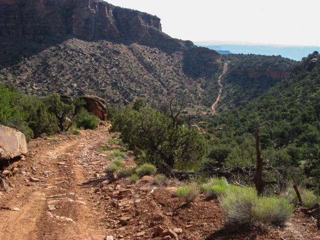
The Grand Loop – one of the oldest bikepacking routes out there and arguably the original bikepacking race route, linking some of the earliest established long-distance mountain bike routes in the country. The Grand Loop is almost entirely dirt, but there’s very little singletrack or gravel along the way.

Toiyabe Crest Trail Loop


Region: Nevada

Season: Summer to fall

Miles: 70  |  Elevation: 10,500′

Days Out: 2  |  Tire Size: ≥ 2.3″

Difficulty: 8/10 Physical   |  7/10 Technical


The northern half of the Toiyabe Crest Trail (TCT) is open to bikes, and it’s a must-ride for anyone who loves remote singletrack traversals along the spine of a towering mountain range. This loop begins with a *steep* 4×4 road climb up Ophir Canyon to reach the TCT, followed by 35 miles of mostly singletrack on the TCT.

New Mexico’s Western Highlands Loop


Region: New Mexico

Season: Spring to fall

Miles: 285  |  Elevation: 20,000′

Days Out: 4-6  |  Tire Size: ≥ 1.75″;

Difficulty: 5/10 Physical   |  4/10 Technical


The New Mexico’s Western Highlands Loop! This 280-mile-long rough “gravel” bikepacking route meanders through the Black, Mogollon, San Francisco, and Gallo Mountains of western NM and the gorgeous Blue River Canyon in easternmost AZ. The loop takes riders on very, very quiet roads (~80% dirt, 20% paved) through almost entirely public lands, linking small communities, passing widely scattered ranches, and traversing a landscape where wolves still roam. Most of the loop is above 7,000 feet in elevation, making it a cool shoulder season ride or a relatively comfortable summer ride passing through beautiful ponderosa pine forests, high grasslands, and aspen glades.

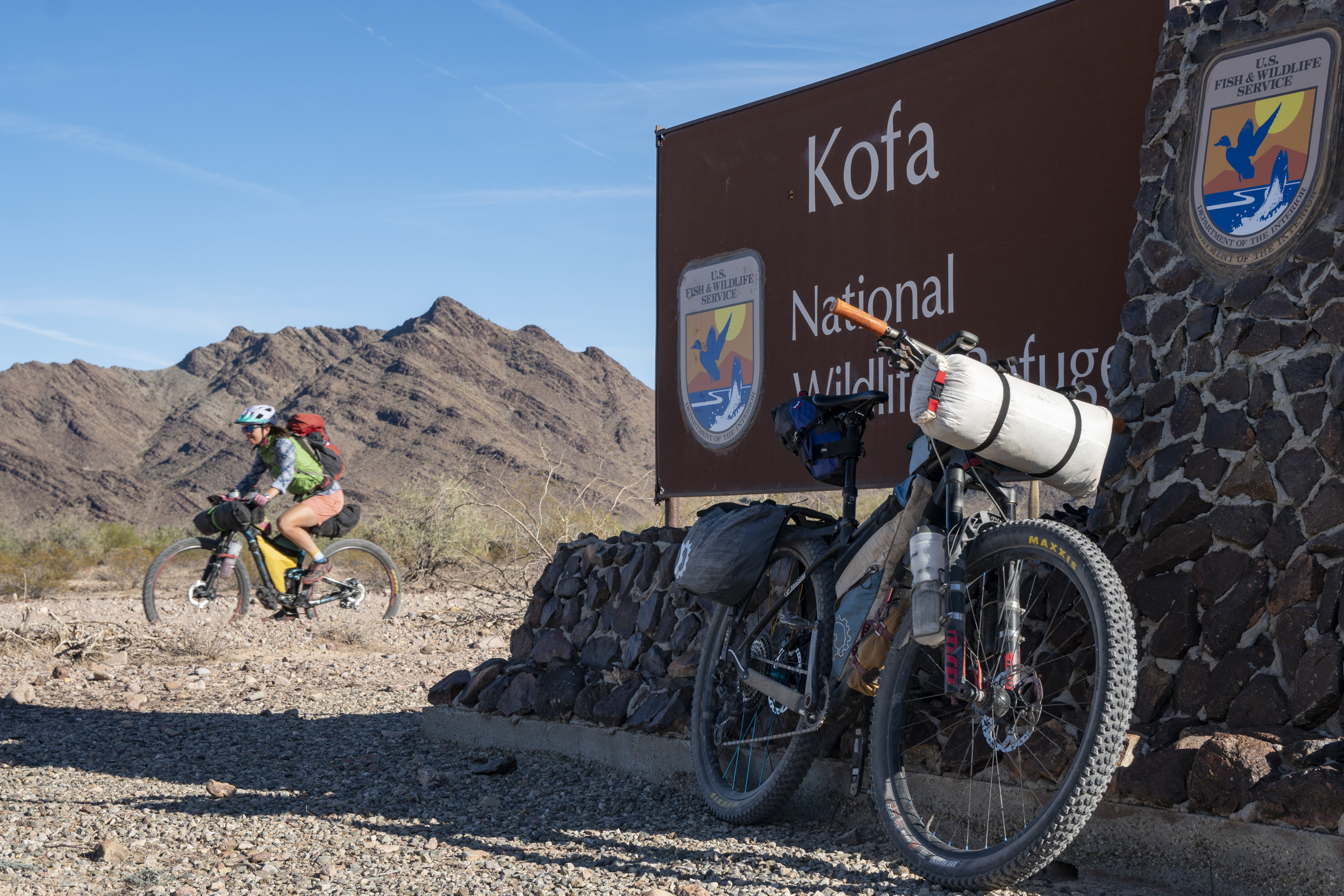
Kofa National Wildlife Refuge Bikepacking Tour


Region: Arizona

Season: Winter

Miles: 125/190  |  Elevation: 5,000/12,000′

Days Out: 3-5  |  Tire Size: ≥ 2.4″

Difficulty: 5/10 Physical   |  5/10 Technical


This delightful desert tour is on 100% dirt, 100% public lands, through stunning mountains, and with reliable water sources – it’s a fantastic 3- to 5-day winter bikepacking trip! The long version of the route includes 2-3 opportunities to scramble up desert peaks and hike into deep canyons along the way, and the shorter version bypasses those side adventures.

Grand Staircase-Escalante National Monument High Plateaus Loop


Region: Utah

Season: Late spring to late fall

Miles: 170  |  Elevation: 13,000′

Days Out: 3-5  |  Tire Size: ≥ 2.4″

Difficulty: 6/10 Physical   |  5/10 Technical


This 170-mile loop follows the most seldom-traveled and arguably most scenic backcountry roads through Grand Staircase – Escalante National Monument through beautiful and remote Colorado Plateau country. Best ridden in late spring or autumn, this loop offers 3+ days of 4×4 riding and solitude.