
Route Overview
Region
Miles
Days Out
Recommended Tire Size
Season
Elevation Gain
Difficulty
3/10 Technical
Primary Surface(s)
Pavement
Route Map
Route Details
Quintessential conifer forest gravel, sagebrush step exploration, small town charm, and a pit stop at the “Caribbean of the Rockies”
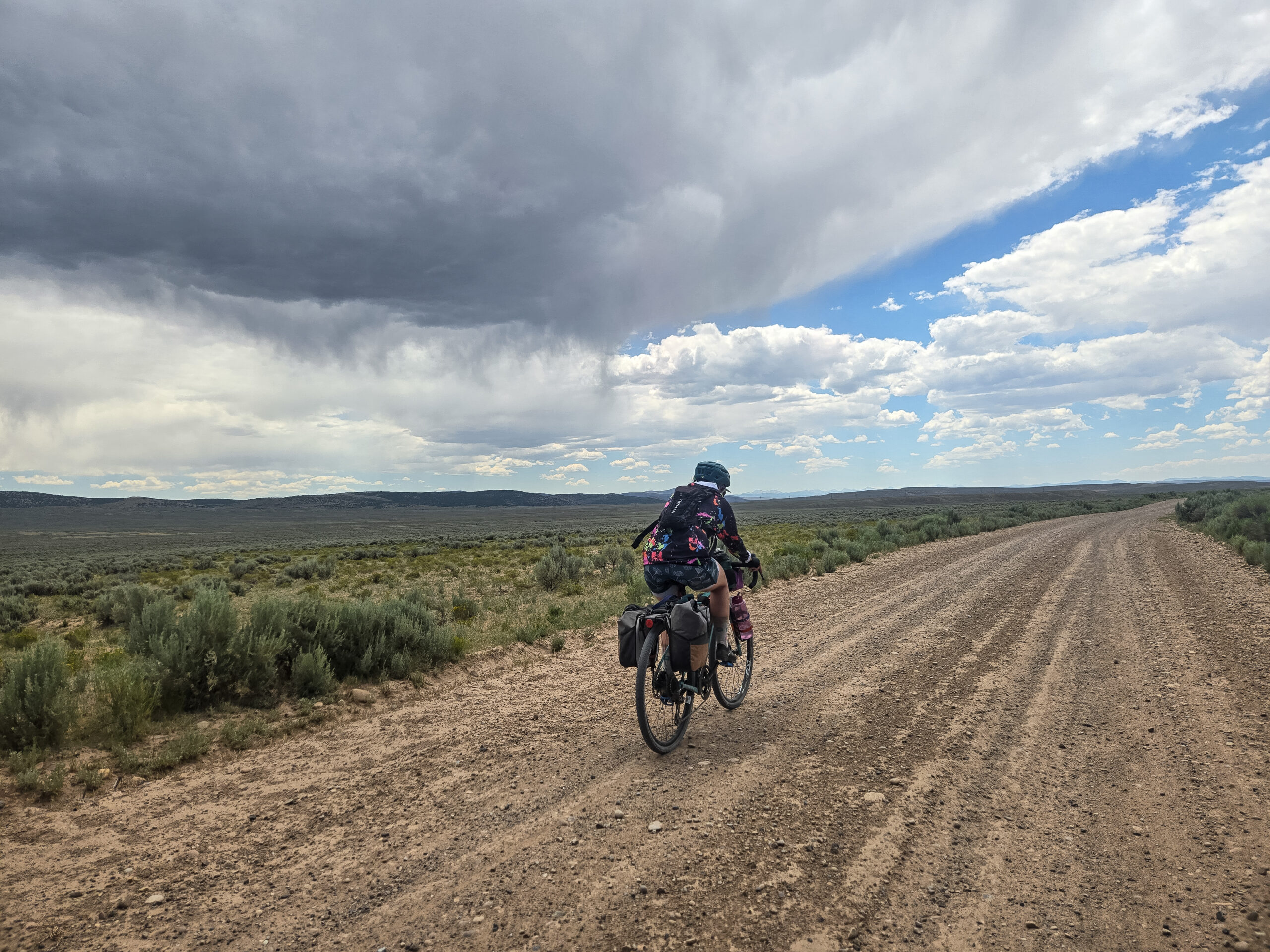
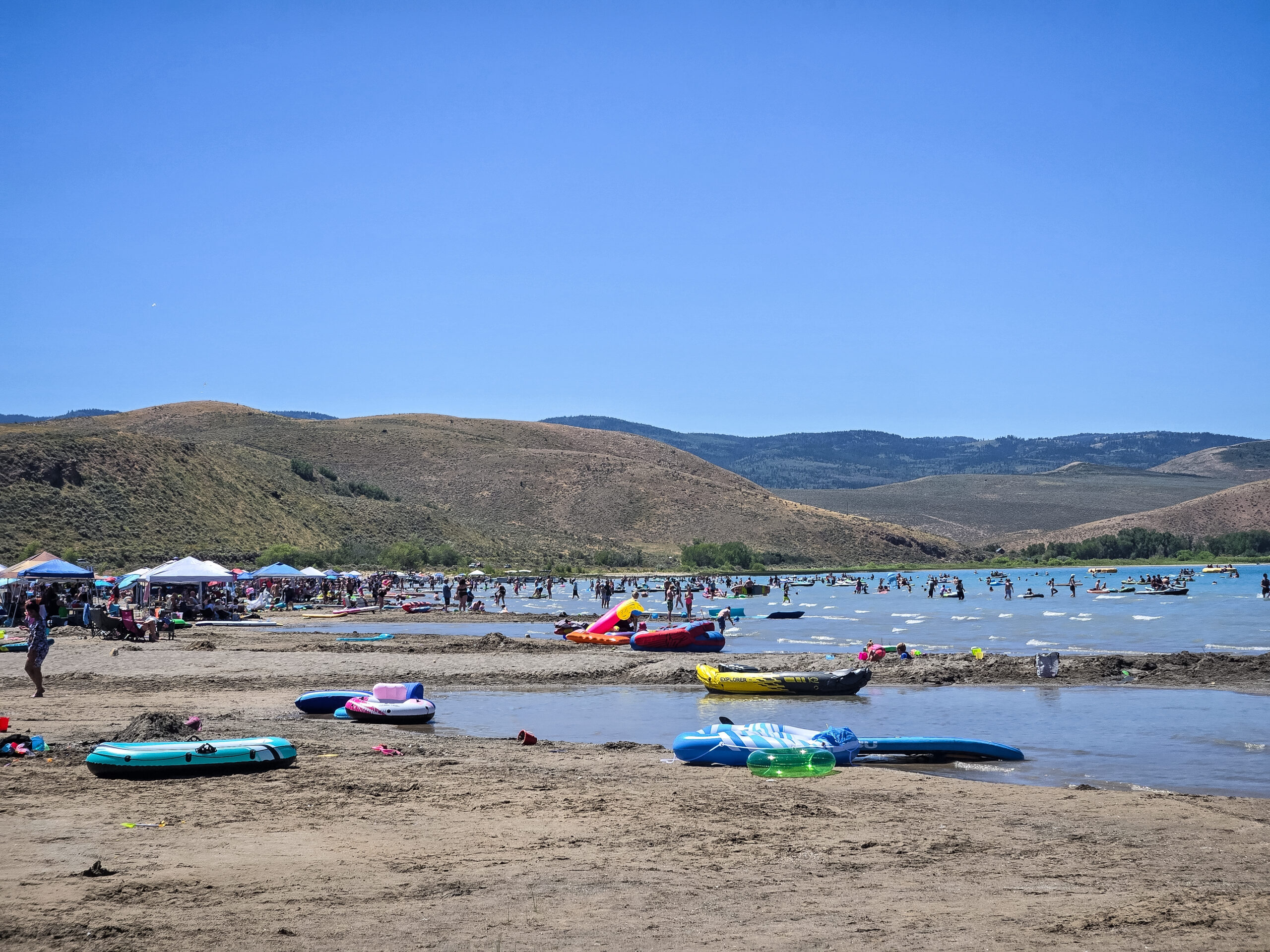
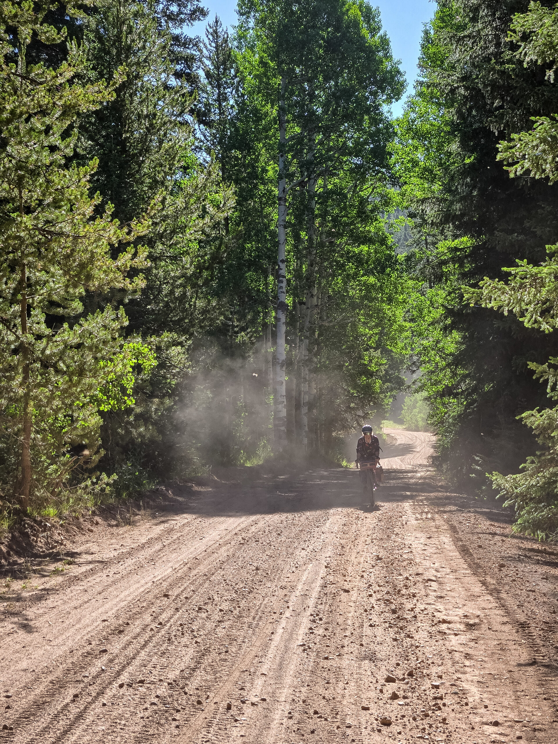
Bear Lake Boogie is a very accessible weekender or extended weekender that takes riders through a diverse series of biomes and riding types in Northern Utah.
The 108-mile route combines short sections of two long-distance epic bikepacking routes: Bikepacking Roots’ Western Wildlands Route and Adventure Cycling Association’s new Golden Gravel Trail to make the perfect getaway near Salt Lake City. These routes share many of the same miles through Northern Utah, but the route creators decided on different paths through this area, making the perfect opportunity for a standalone loop.
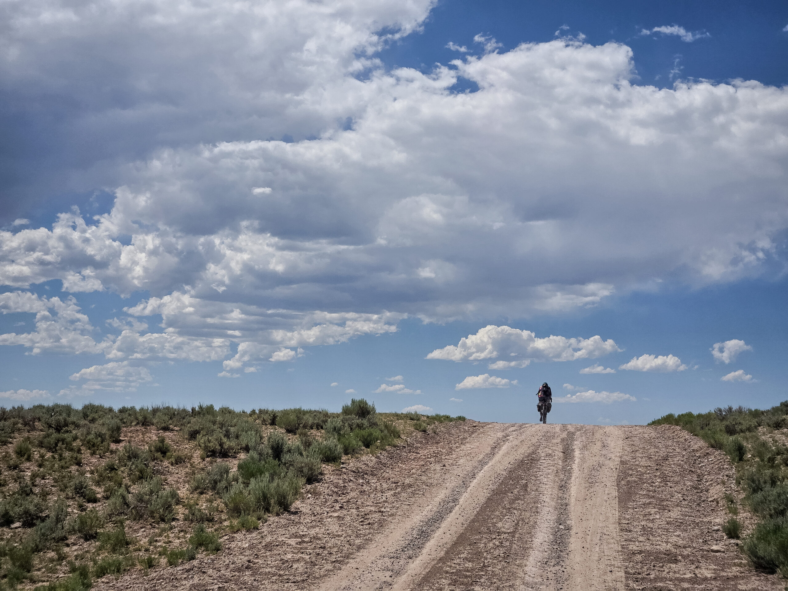
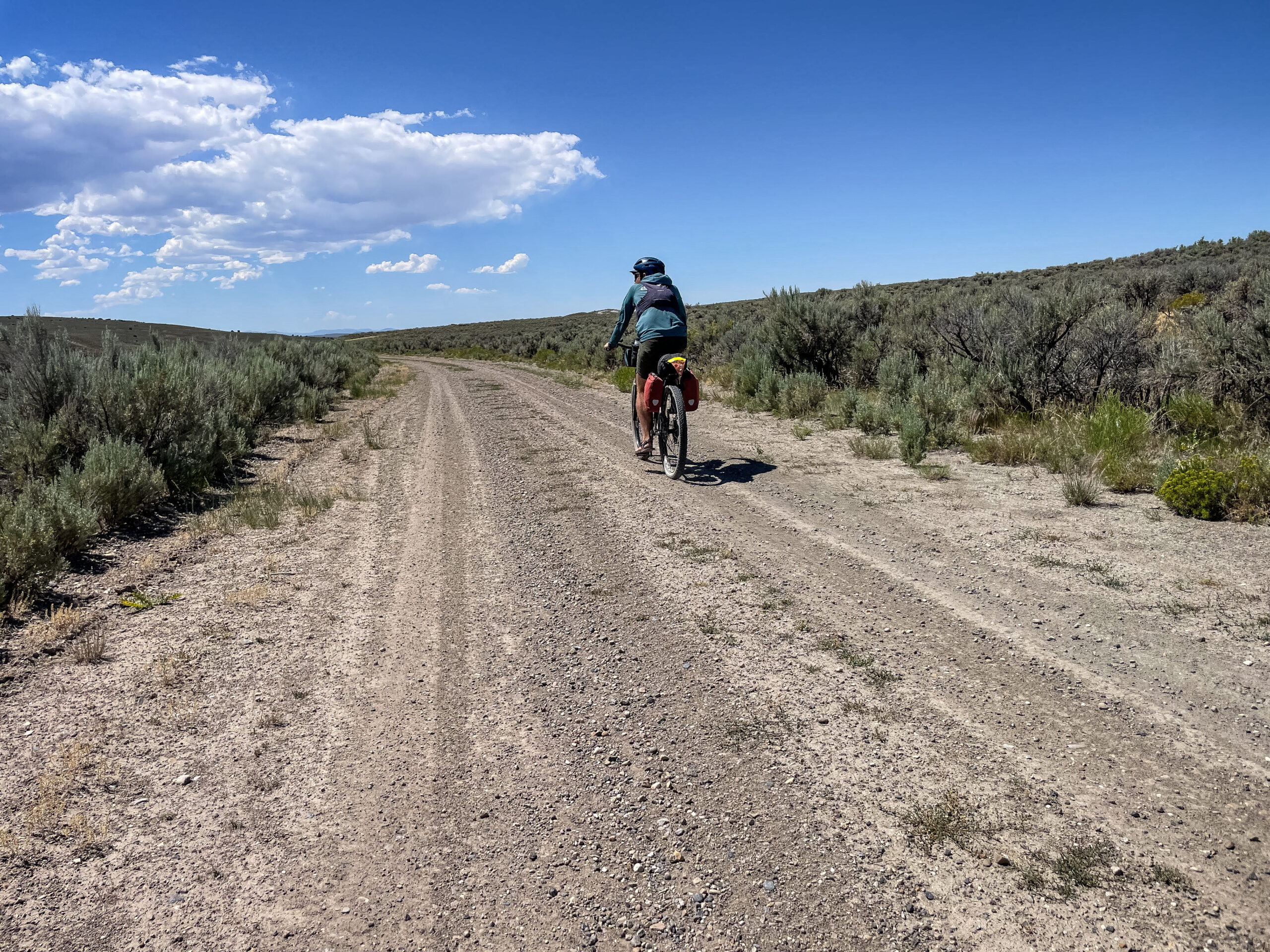
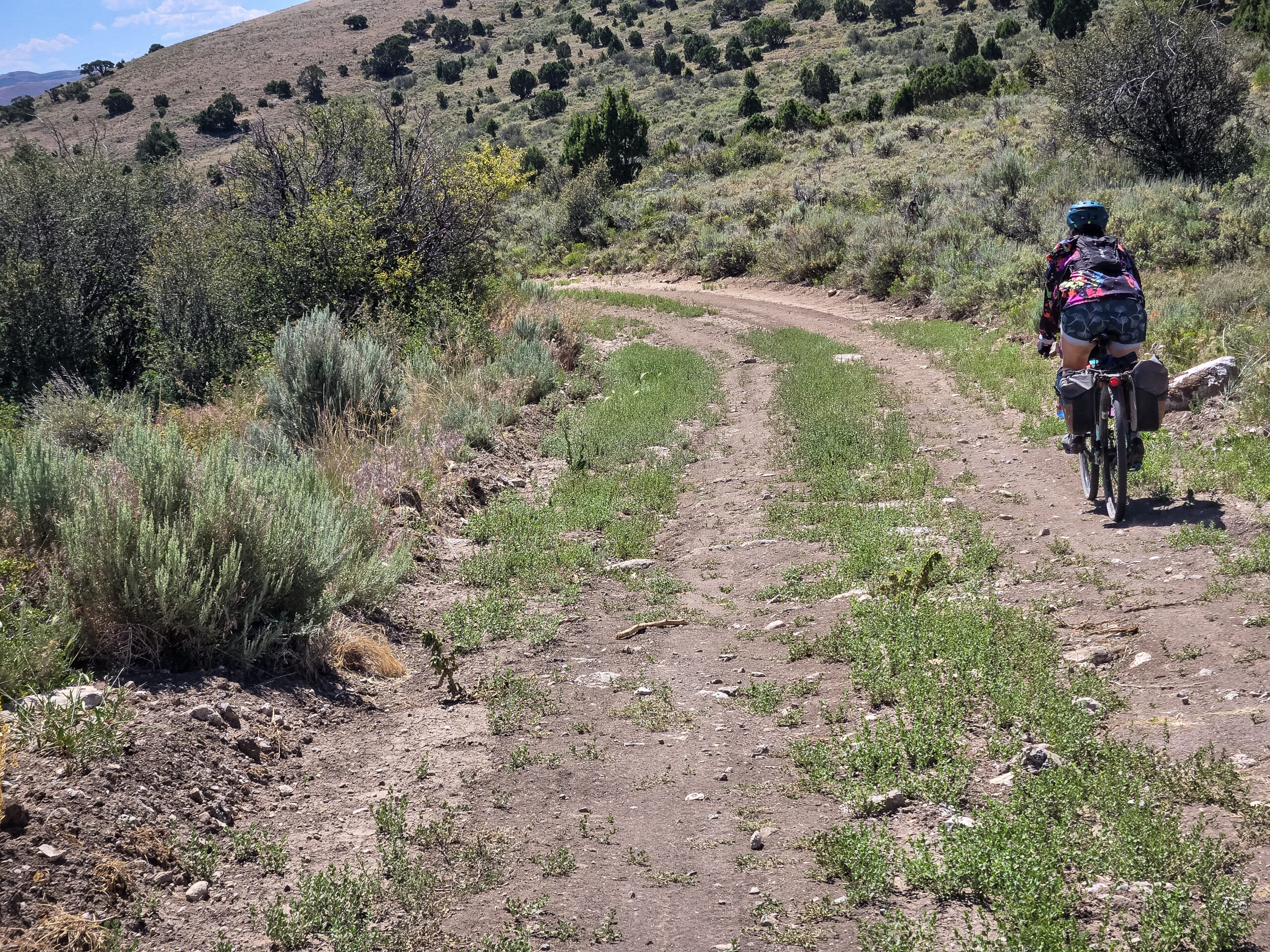
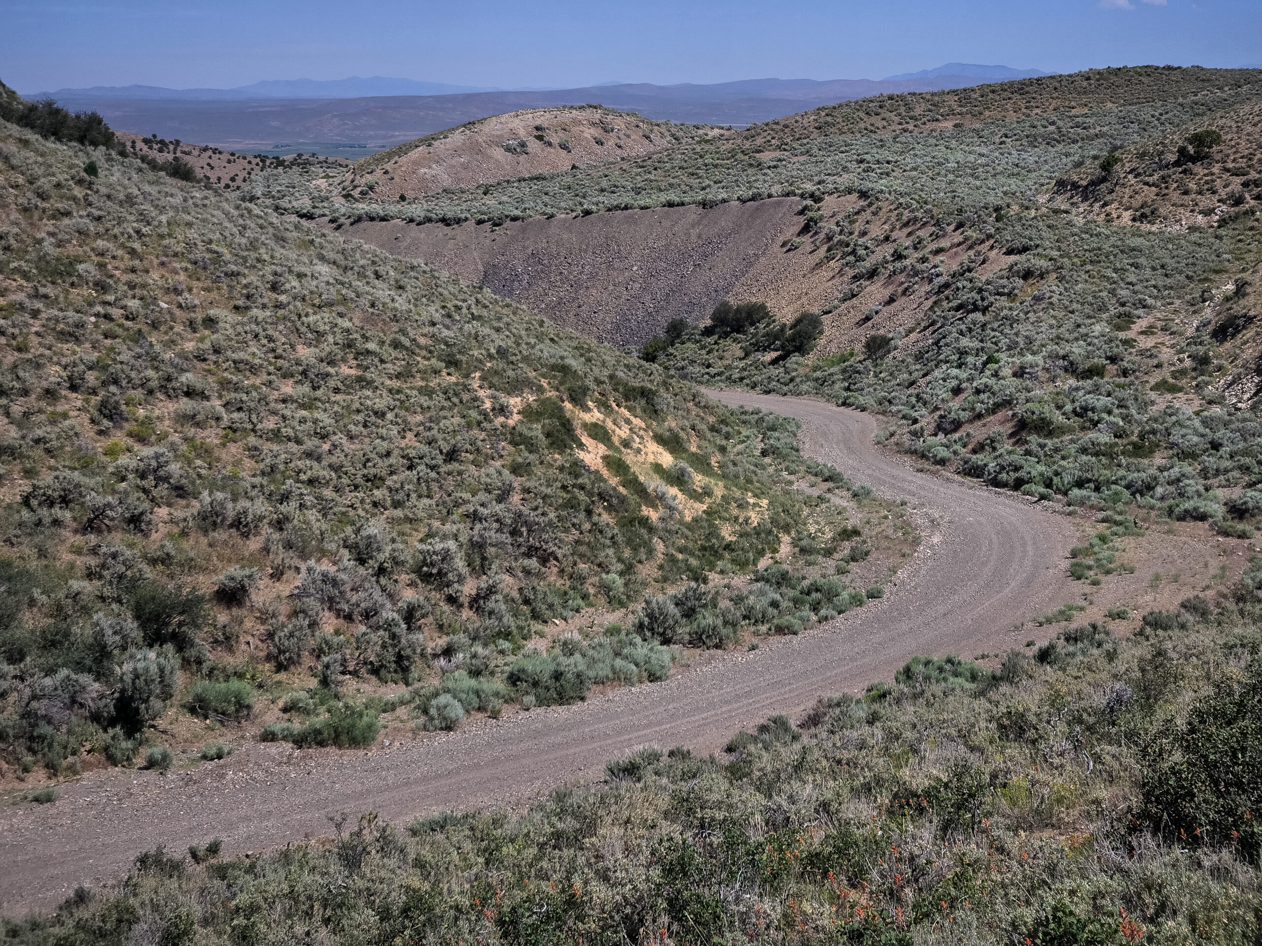
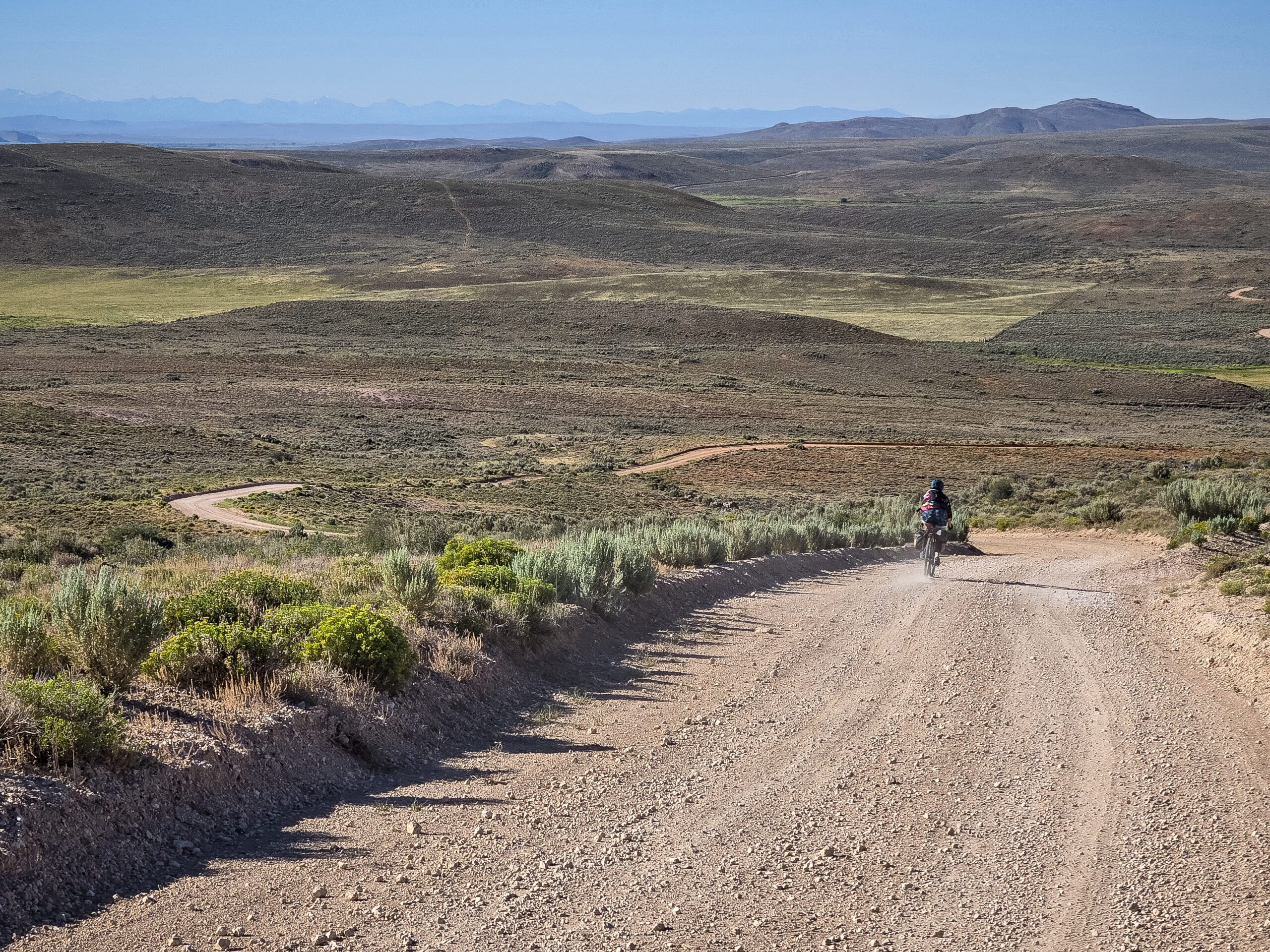
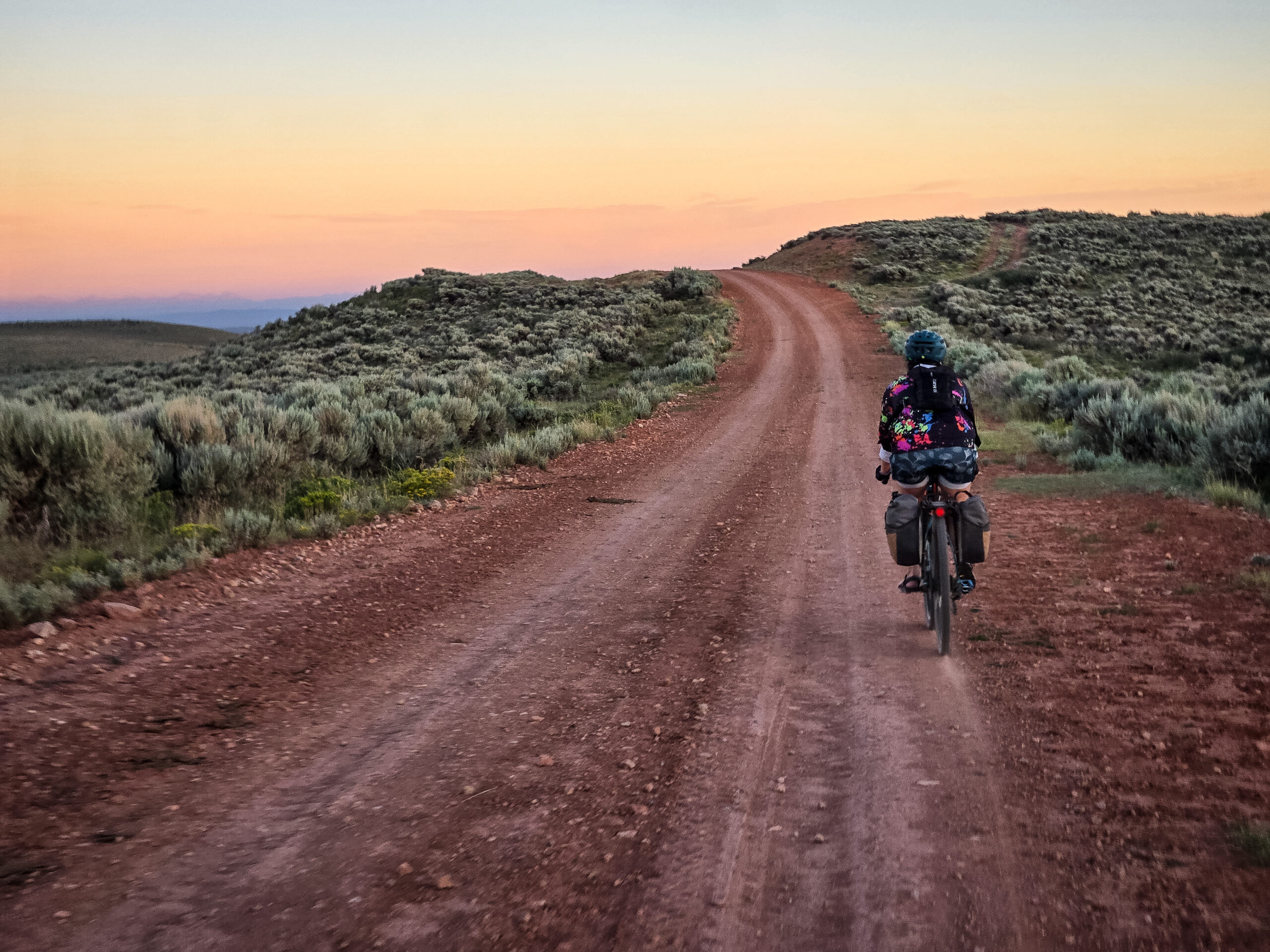
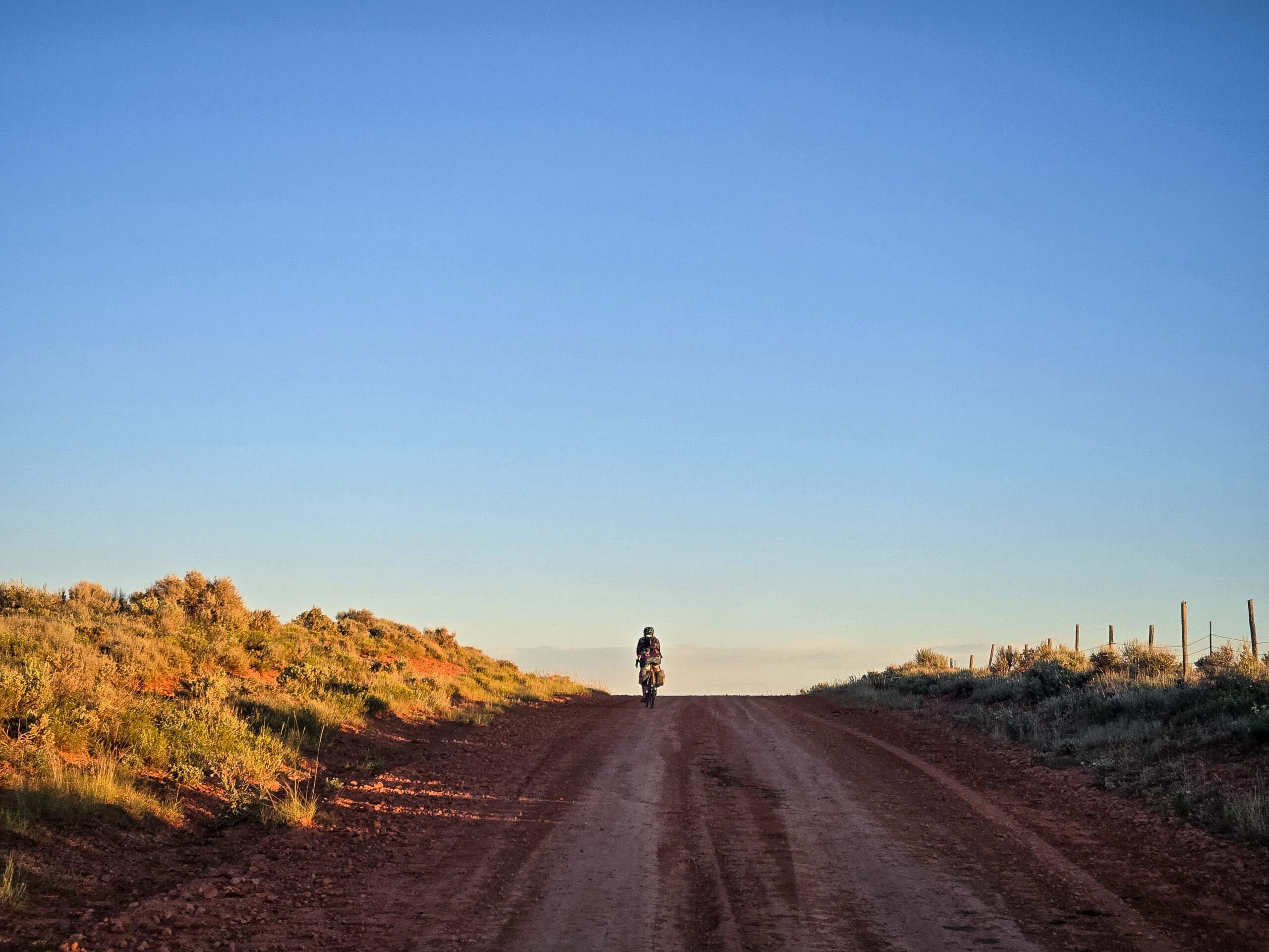
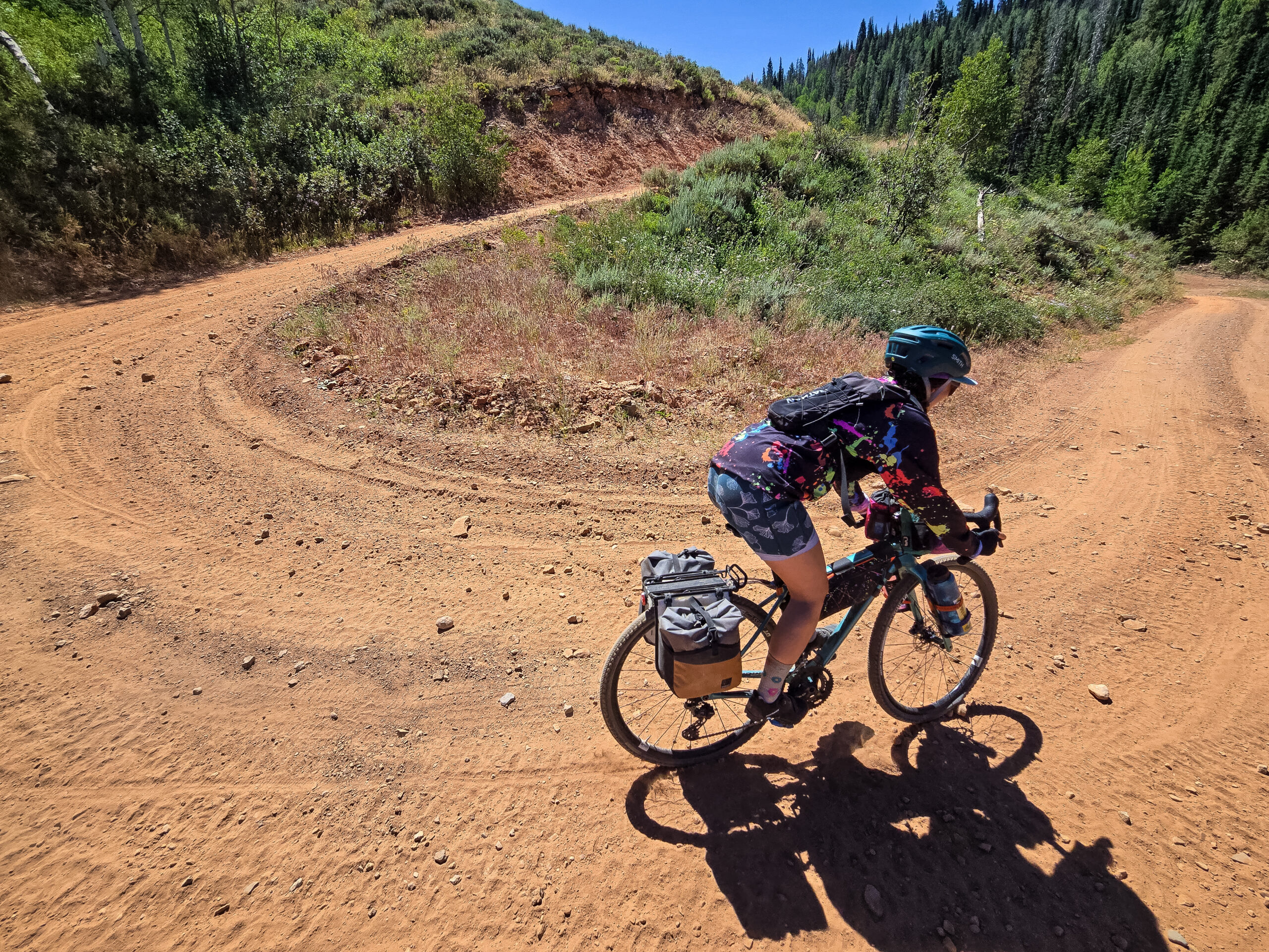
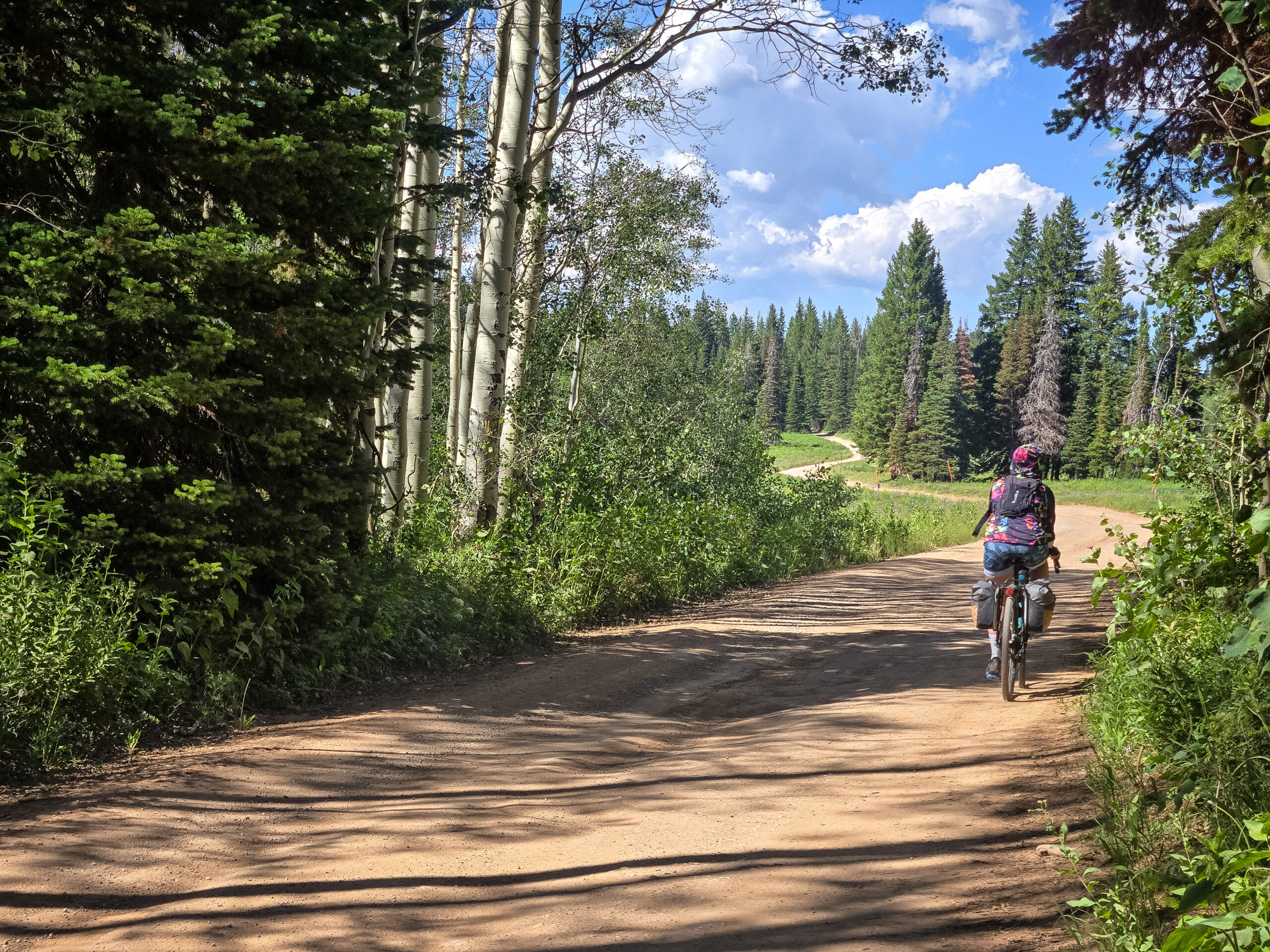
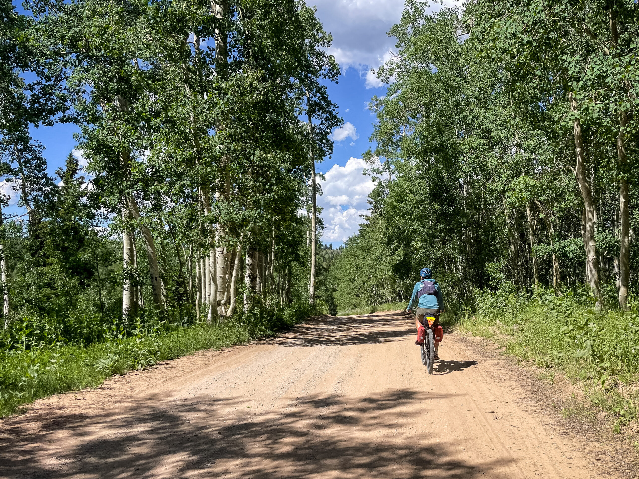
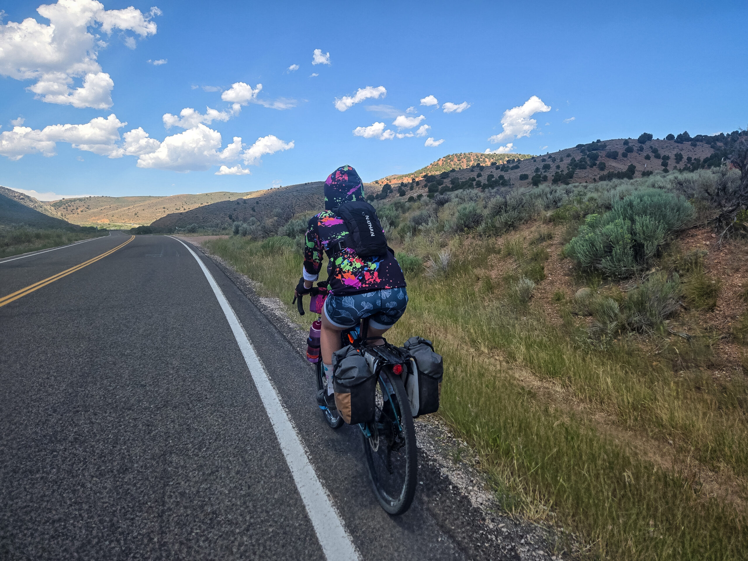
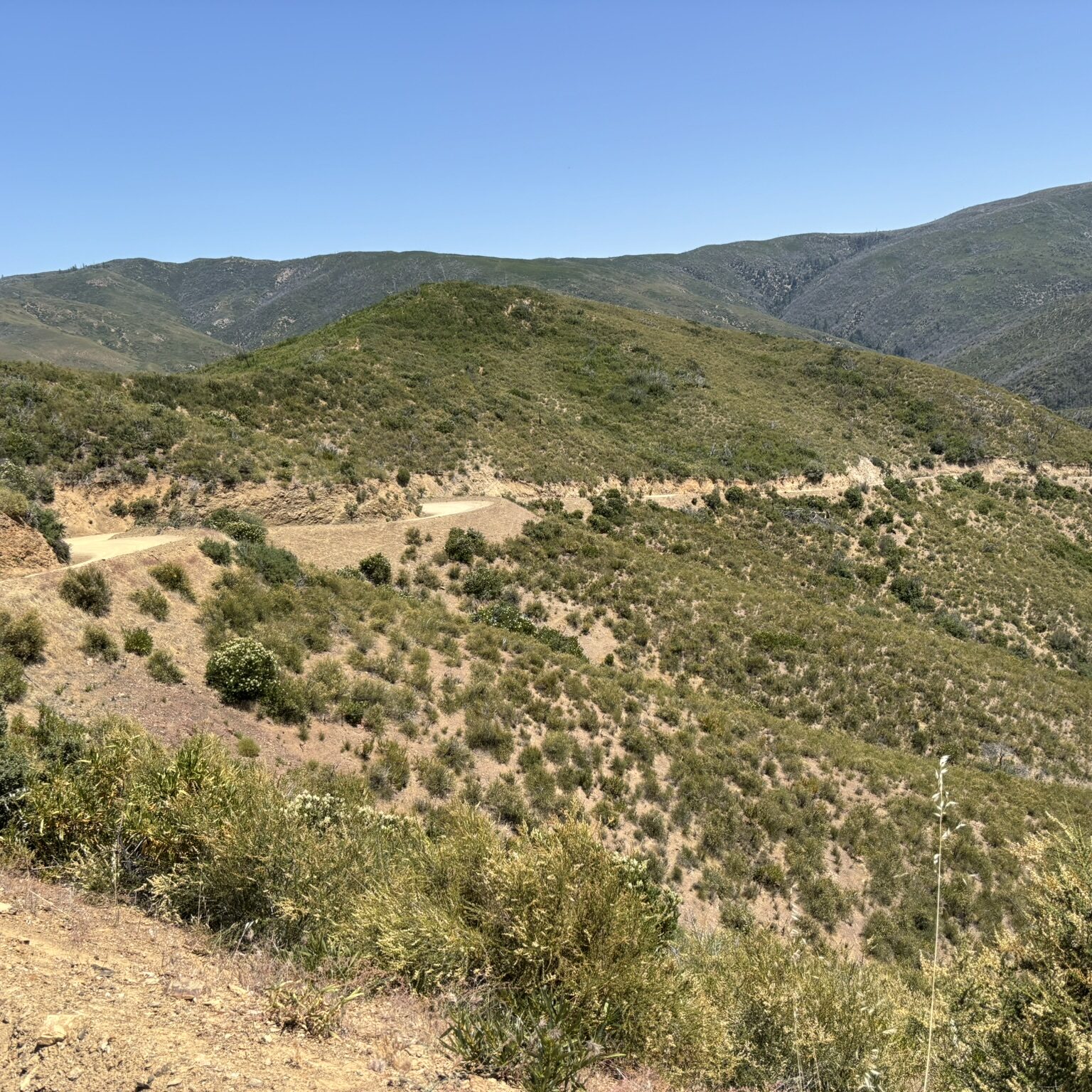
This route ranges between 6,000 to 9,000 feet elevation, with biomes spanning from high-elevation conifer forests on the west side, to arid sagebrush plateaus on the east side. Road conditions span from slightly chunky double-track to smooth pavement, and everything in between, but nothing is too grueling or technical.
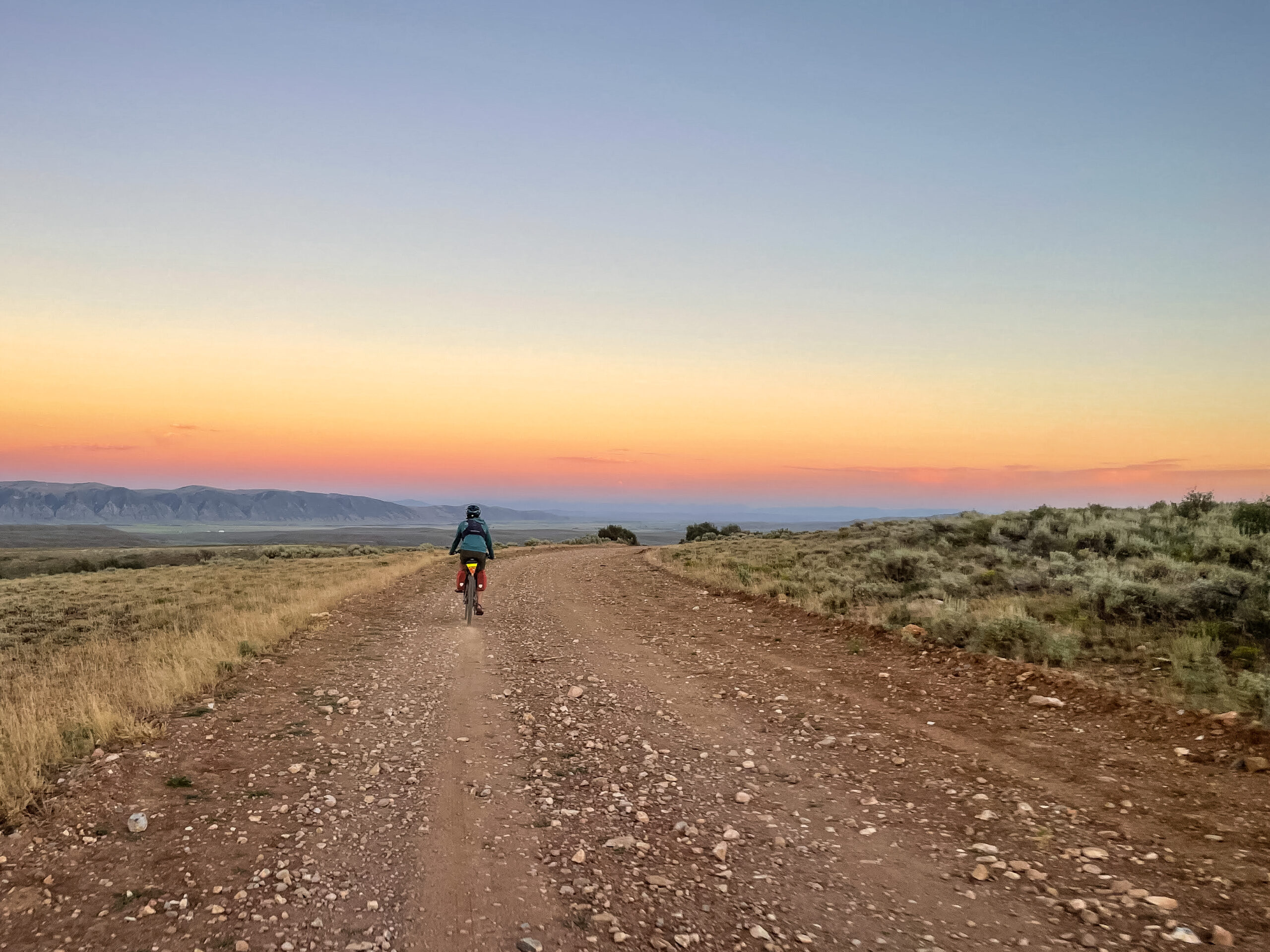
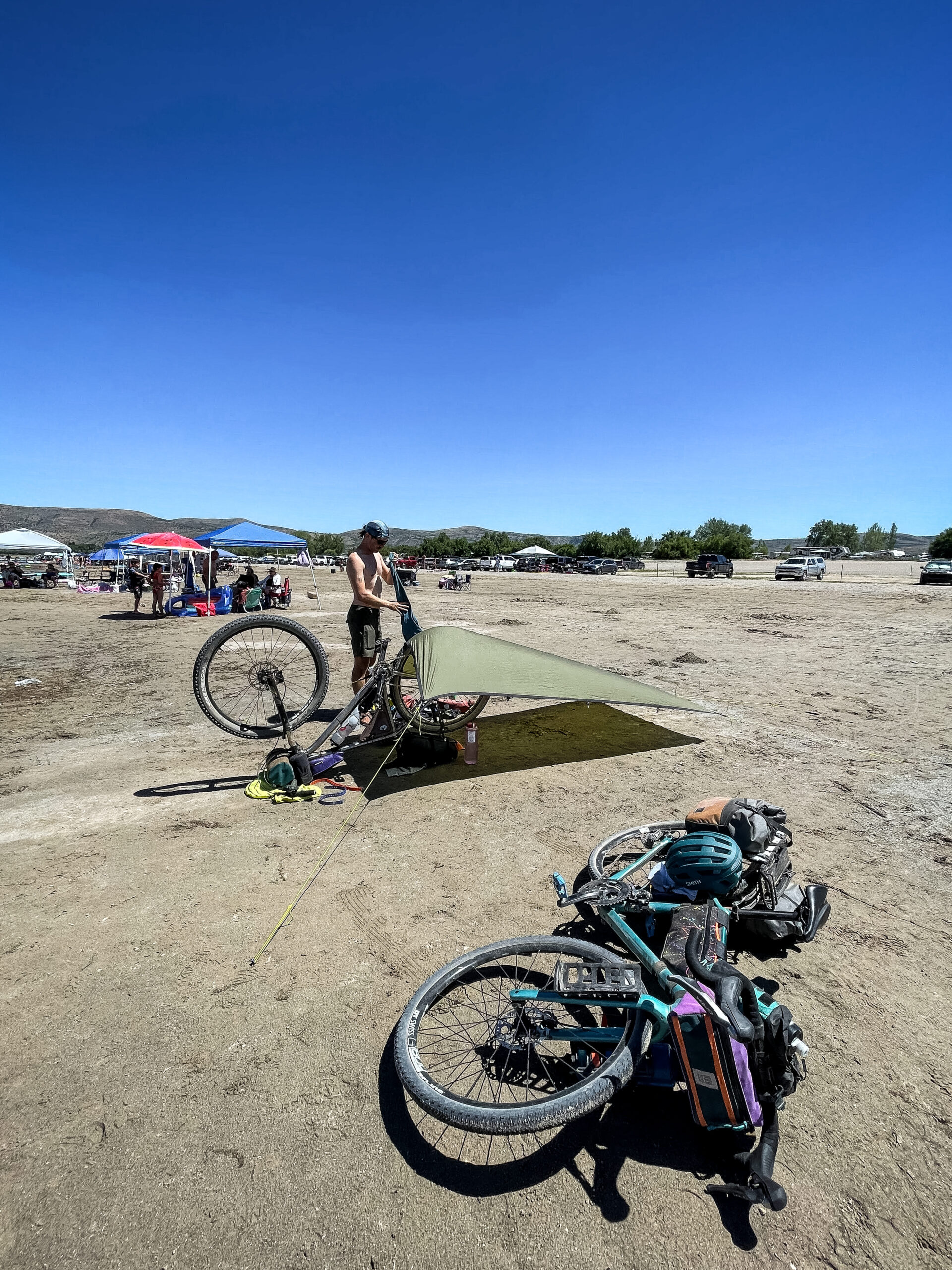
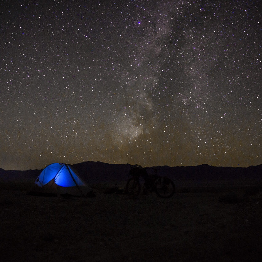
While there are some developed campgrounds along Bear Lake (likely to be crowed in peak season), the wealth of dispersed camping opportunities is where this route really shines, offering plenty of solitude and dark skies at night.
- Paved: 35%
- Smooth Gravel: 30%
- Rough Gravel: 25%
- 4×4 Road: 10%
- Singletrack: 0%
BIKE SELECTION
This route is best suited for a rigid MTB, gravel-style bike, or hardtail. A minimum of 40mm tire width is recommended. Ensure you are prepared to handle any bike mechanicals that you may encounter.
WATER & RESUPPLY
Water sources and resupply options are available throughout much of the route and are marked as points of interest on Ride with GPS.
CAMPING
Rendezvous Beach, a part of Bear Lake State Park, is separated into four distinct campgrounds: Birch, Big Creek, Cottonwood, and Willow. Between the four campgrounds there are four reservable group sites with pavilions. 106 reservable, full hook-up sites. And 37 reservable tent sites.
Dispersed camping opportunities exist throughout the route. Reference Ride with GPS points of interest to gain a better understanding of where sections of dispersed camping can be found.
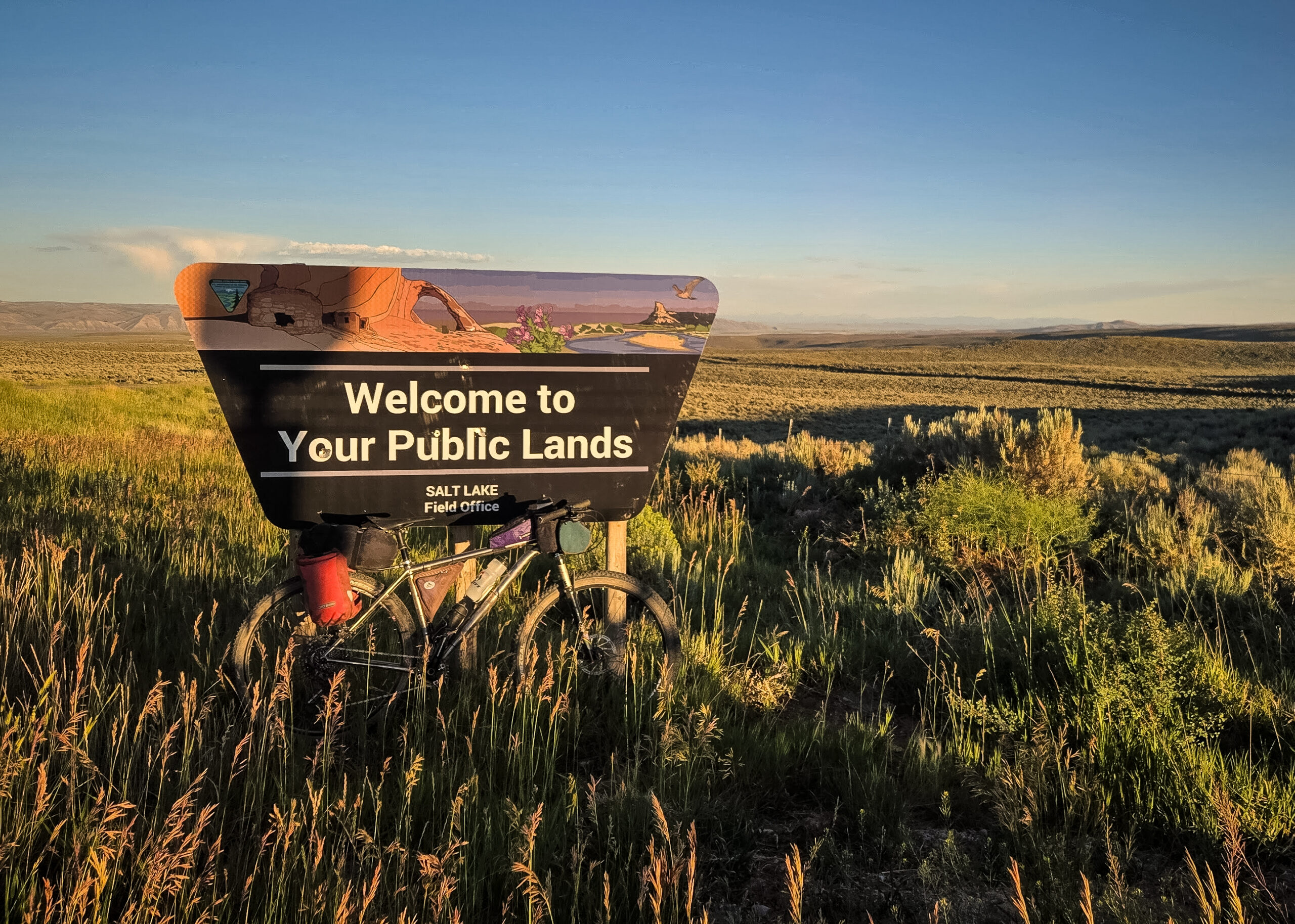
Although this route is primarily on public lands, sections of private land exist. While the entire route is on legal right-of-way, there are sections where leaving the road would be considered trespassing and should never be used for camping under any circumstances.
SEASONALITY
The window to ride this route would be any time the west side of the route is clear of snow (mid-June through early-October in a typical year).
DIRECTIONALITY
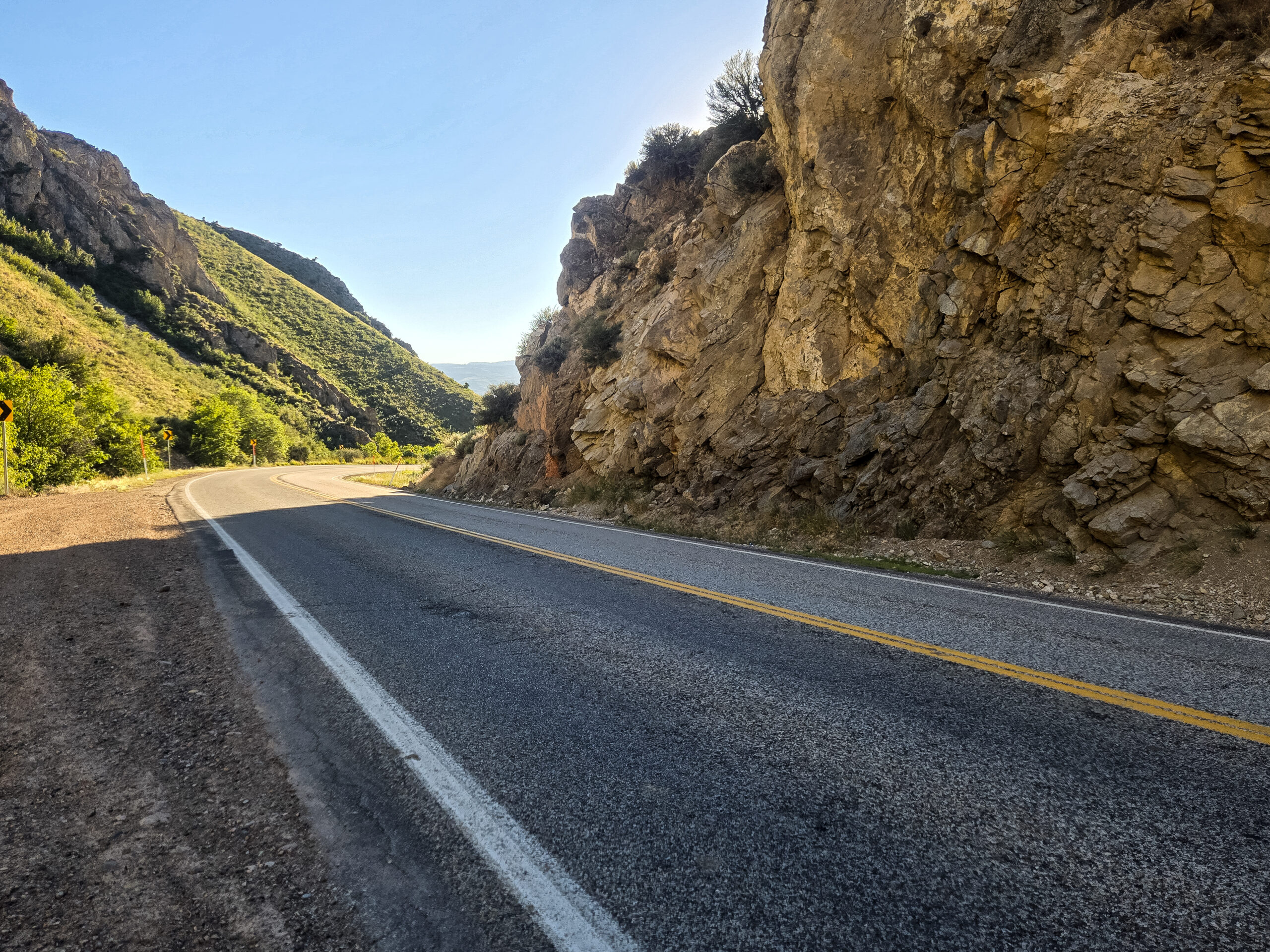
If done clockwise as suggested, most climbing is done on pavement, and most descending is done on dirt.
PARKING
Riders may opt to park on the south side of Woodruff City Park. It is advisable to leave a note in the windshield and contact the adjacent city office to ask permission (435) 233-2264. Alternative launch points are in Laketown or Randolph or one could easily park in a dispersed campsite in National Forest or BLM land on the route. No public transit exists in this region.
Doug Tolman (he/him, Salt Lake City, UT) is a passionate public land advocate who spends most of his time in the Great Basin and Colorado Plateau, working in a policy role at a small-but-mighty conservation non-profit. Bikepacking since 2018, he values the place-learning aspect of multi-day trips as a way to connect with land and rural communities and sees bikepacking as one of the best tools for building a community of advocates for conservation and dispersed recreation access.
Doug serves as on the Bikepacking Roots Board of Directors.
Special Thanks
- Adventure Cycling Association for the Golden Gravel Trail section
- Sienna Vollbrecht for joining the first scouting voyage
- Saturday Cycles for fostering local cycling community
Doug has offered to be available to answer questions if you are planning a trip on this route. We encourage you to be respectful of Route Stewards’ time, though, and to review publicly available materials first before reaching out with questions.
Please also get in touch with any updates on route conditions that may be relevant to other riders.
Please submit your questions and comments on the route via the contact form below.
Traditional homelands of the Shoshone, Ute and Bannock peoples. Learn about and donate to the Northwest Band of the Shoshone Nation’s nearby land restoration project, Wuda Ogwa