Route Overview
Region
Miles
Days Out
Recommended Tire Size
Season
Elevation Gain
Difficulty
5/10 Technical
Primary Surface(s)
Route Map
Route Details
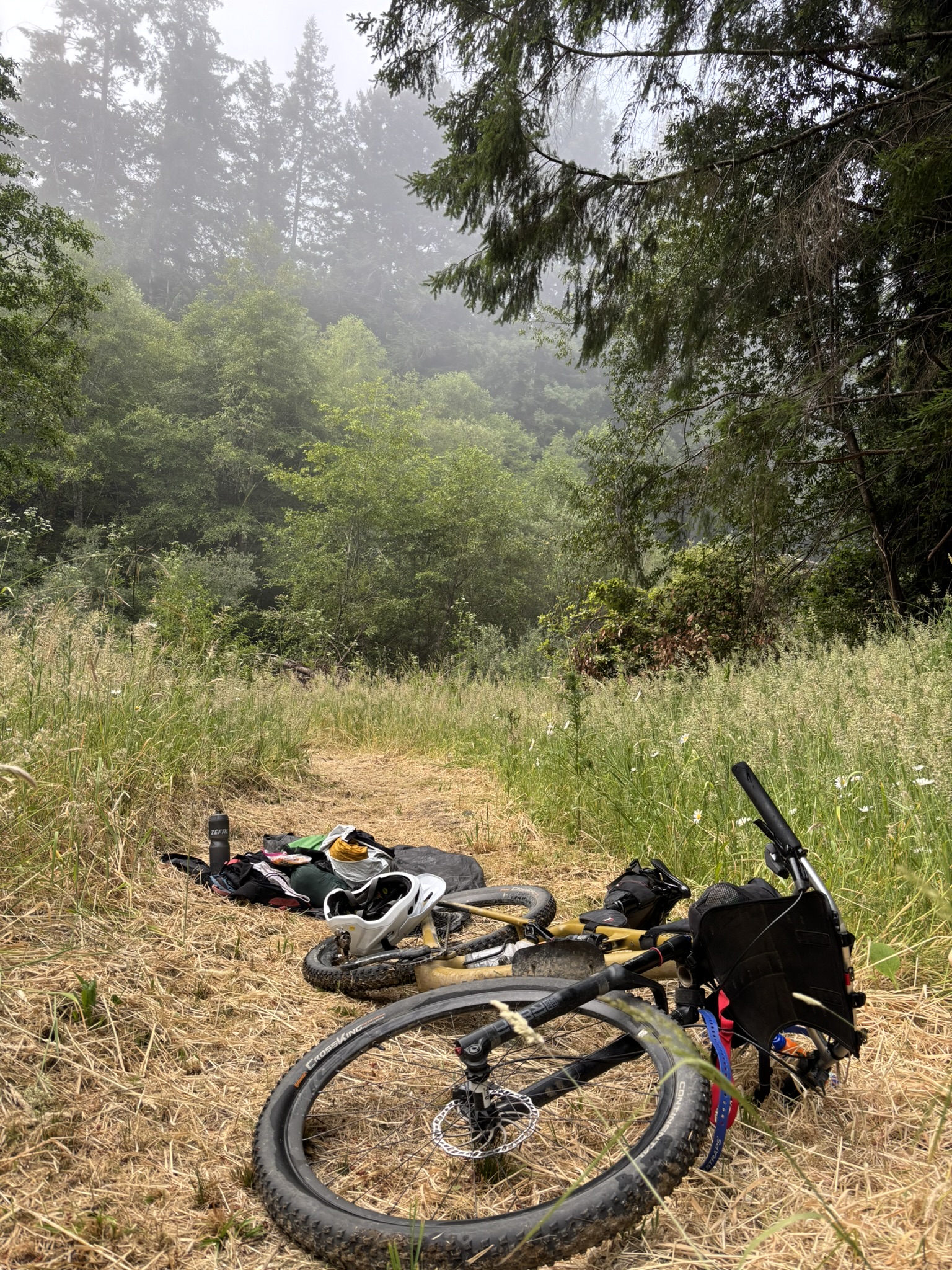
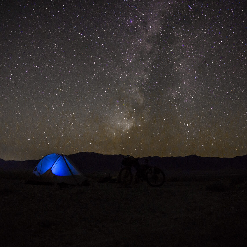
What makes the Trans North California Bikepacking Route truly distinctive is its incredible diversity and sense of progression. Rather than focusing on a single mountain range or ecosystem, the route links together California’s most iconic landscapes into one continuous adventure. Riders travel from the high granite peaks of the Sierra Nevada through giant sequoia groves, remote backcountry forests, historic Gold Rush country, volcanic terrain, oak-covered foothills, and ancient coastal redwood forests before reaching the Pacific Ocean.
- Sierra Nevada Mountains
- Reservoir district
- Cold mountain springs to plunge in
- Picturesque Sacramento Valley
- Loamy coastal singletrack
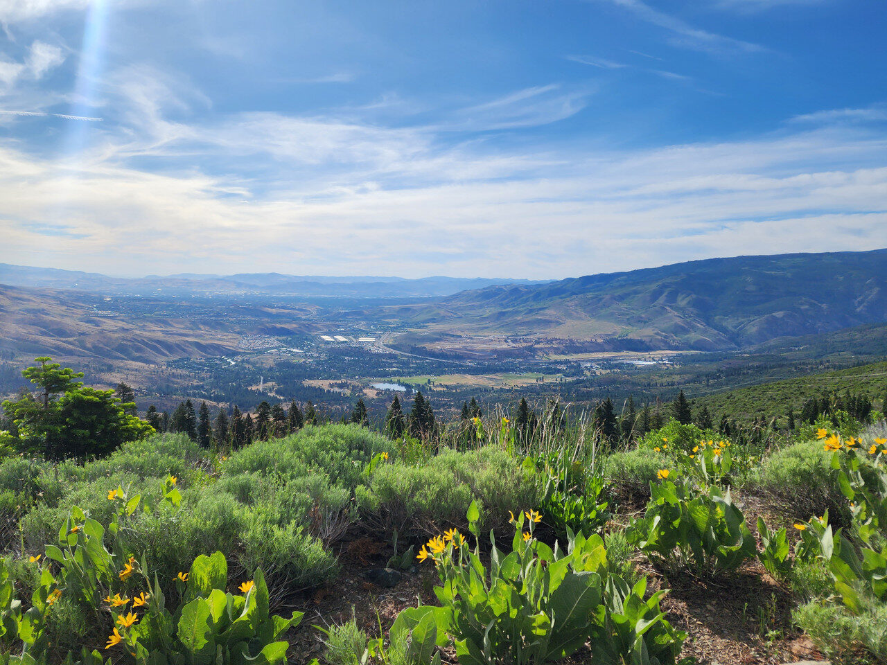
Your journey begins at the California–Nevada border, just west of Boomtown Casino & Hotel in Verdi, and immediately climbs into the rugged Sierra Nevada mountains, home to the world’s largest trees—the giant sequoias.
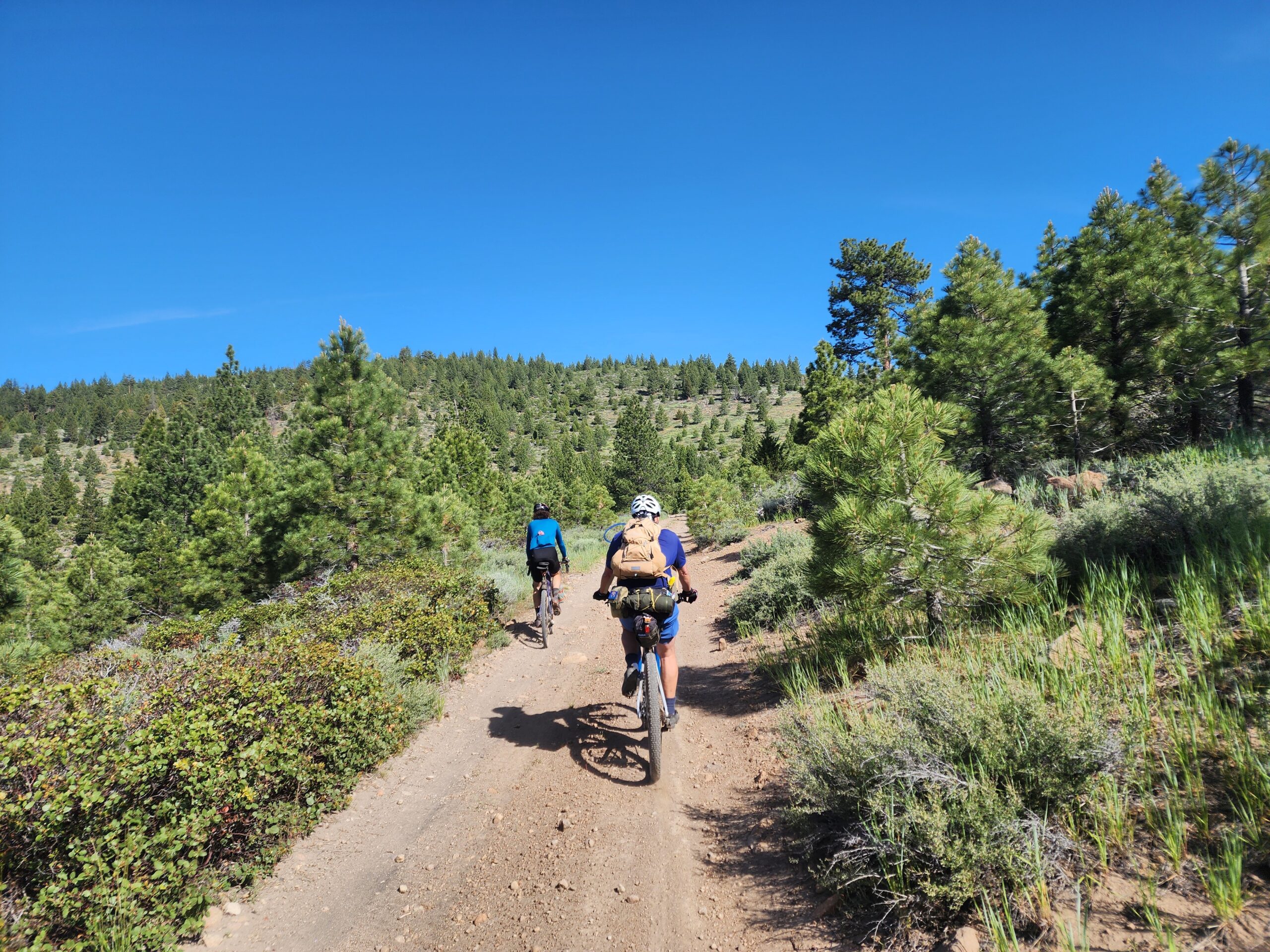
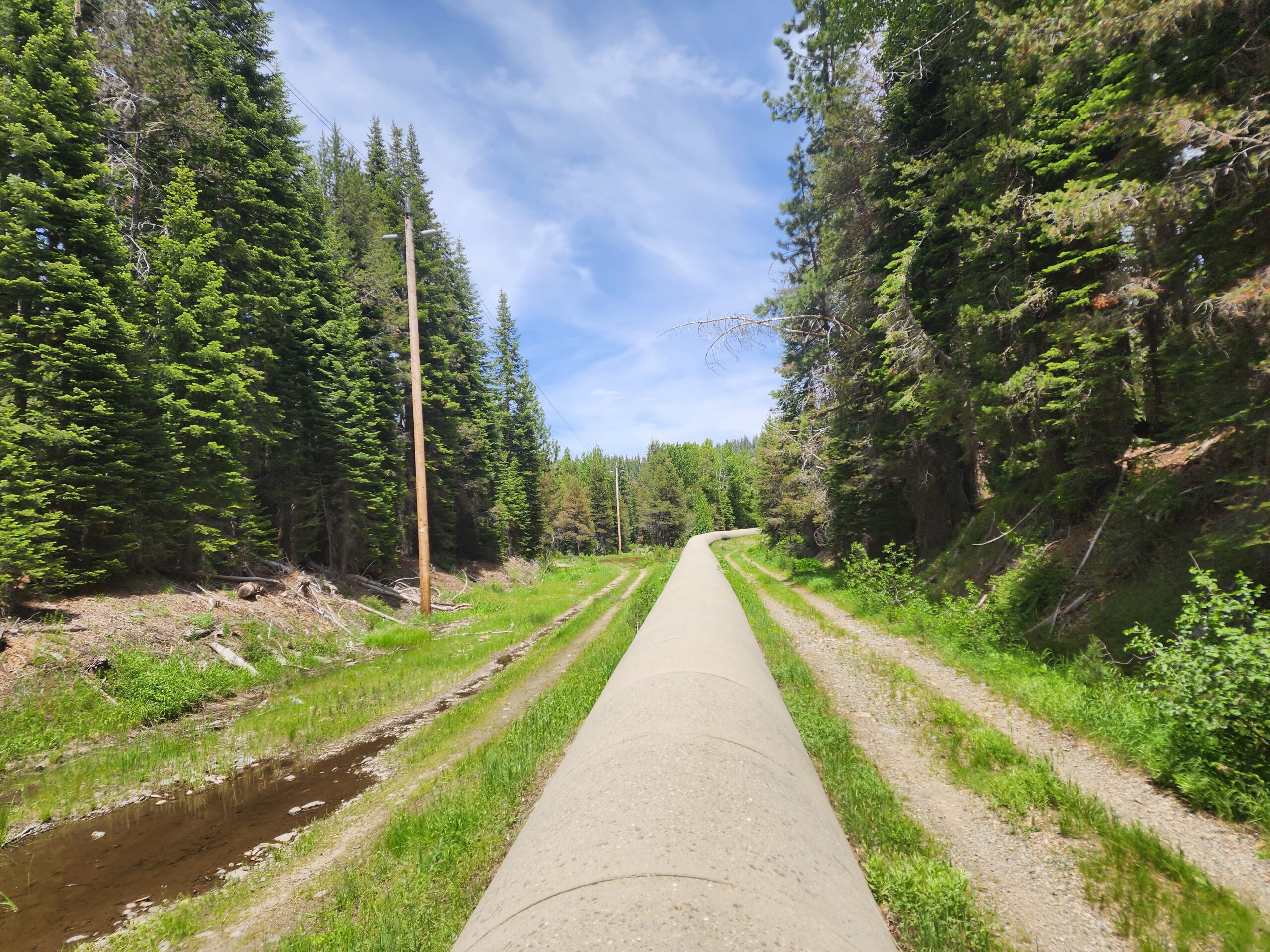
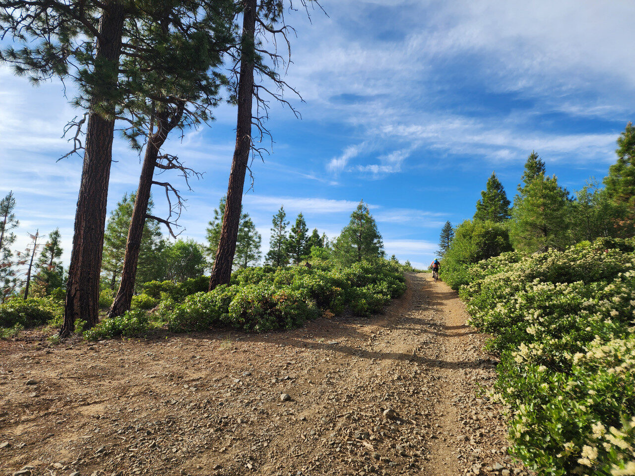
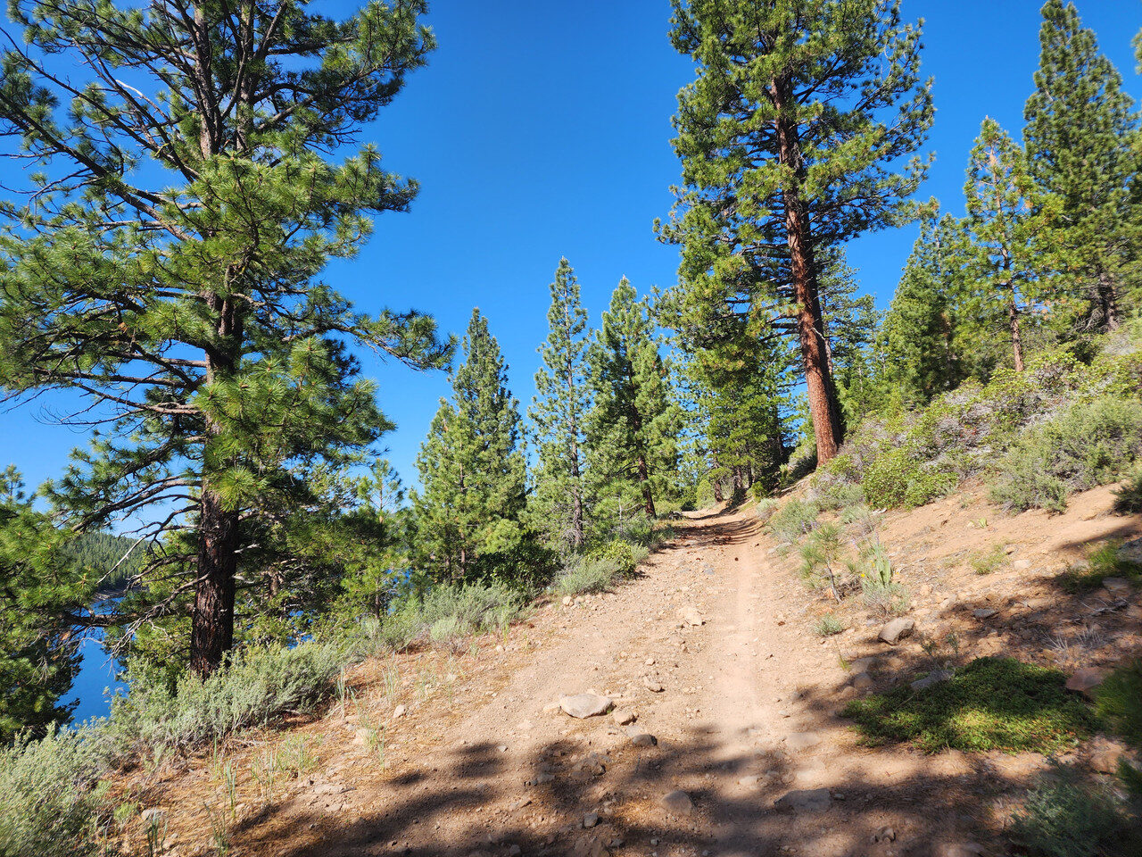
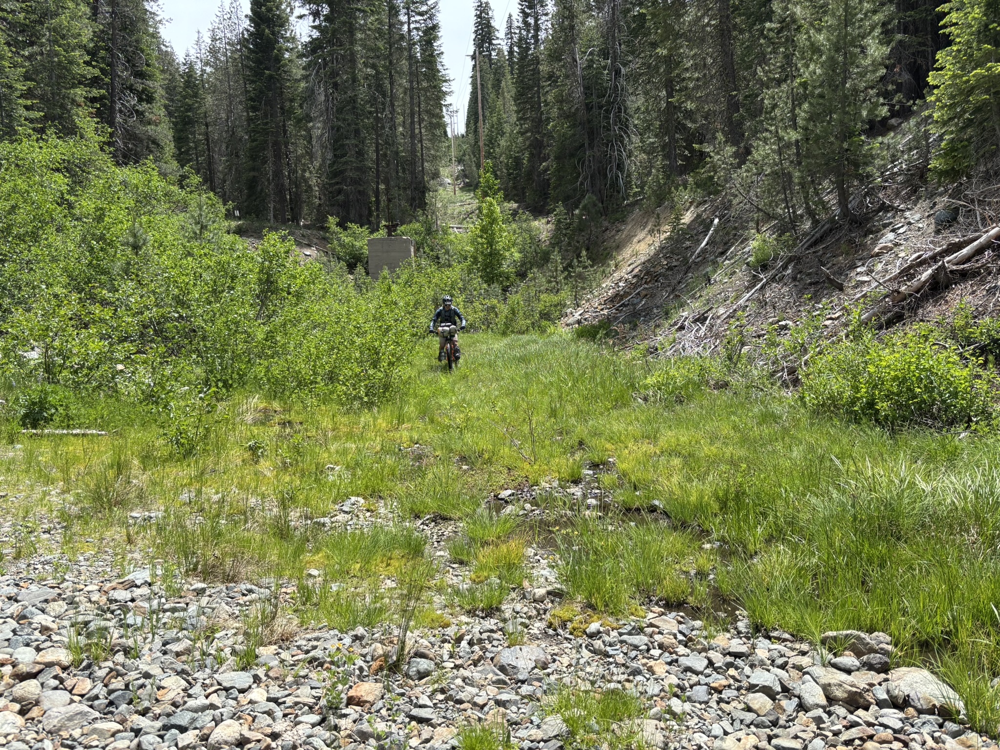
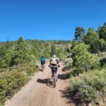
Don’t underestimate this section of the route! You’ll travel on remote, unmaintained Forest Service roads, historic stagecoach routes, and even tackle a hike-a-bike section. This is not a smooth gravel cruise—it’s a true backcountry adventure where sticks, rocks, pinecones, and rough terrain are all part of the experience. Fortunately, streams are plentiful throughout the Sierra, making it easy to filter or treat water along the way.
Midway through the Sierra, you’ll enjoy some outstanding singletrack near Forest City before continuing toward Camptonville, your first major resupply point nearly 100 miles from the start.
Leaving Camptonville, Oroville is the only major town on the route. Here you’ll find hotels, grocery stores, restaurants, Walmart, Ace Hardware, and other services if you need to restock or make repairs. South of town, the route passes through the Oroville Wildlife Area, an area well known for goathead thorns, so be prepared for potential flats.
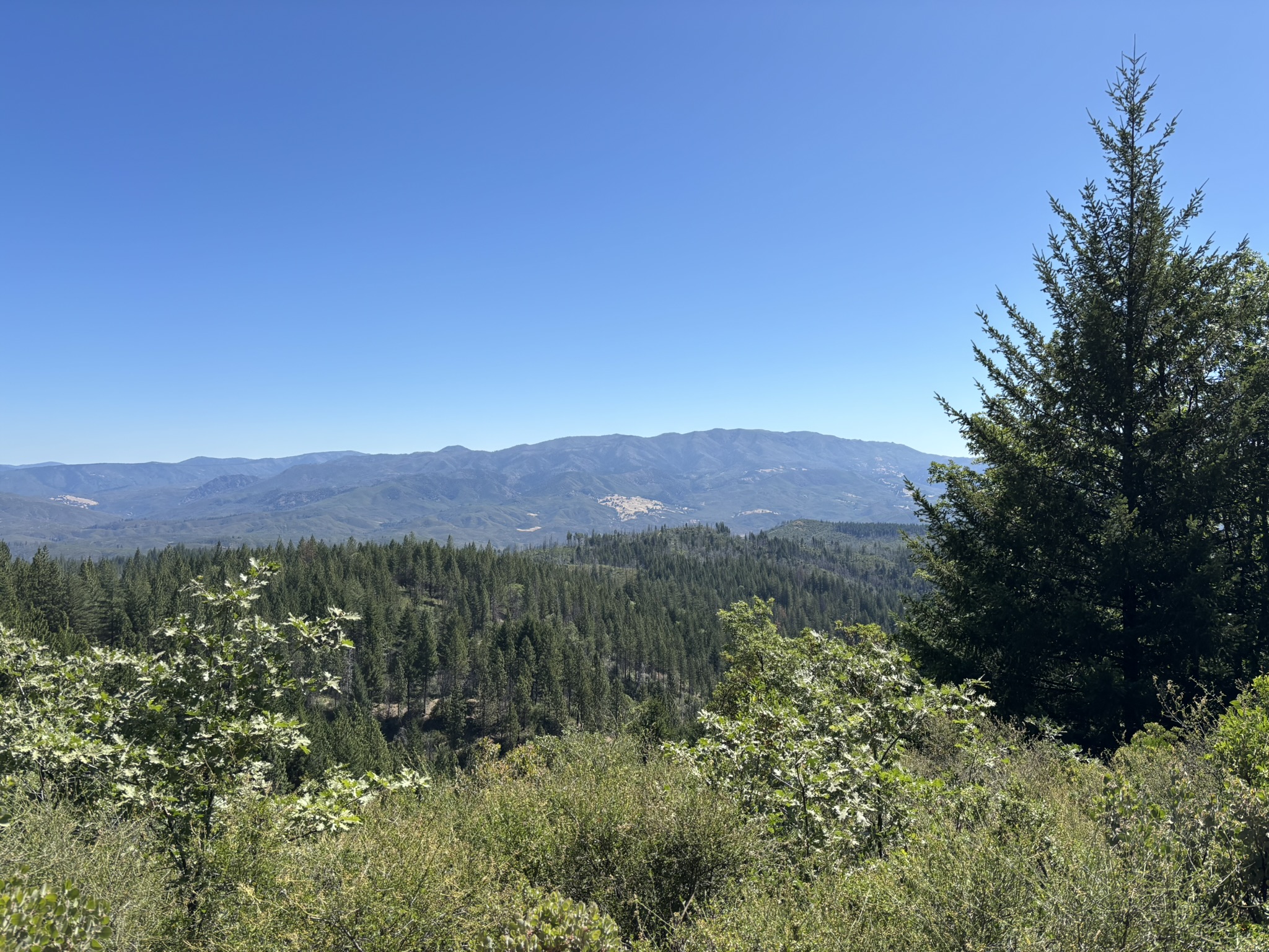
Crossing the Sacramento Valley provides a welcome break from the relentless mountain climbing. But the respite is temporary—5,700-foot Goat Mountain dominates the horizon and signals the next major challenge. Maxwell offers a convenient stop with a gas station and Mimi’s Tacos before you head west into the Mendocino National Forest.
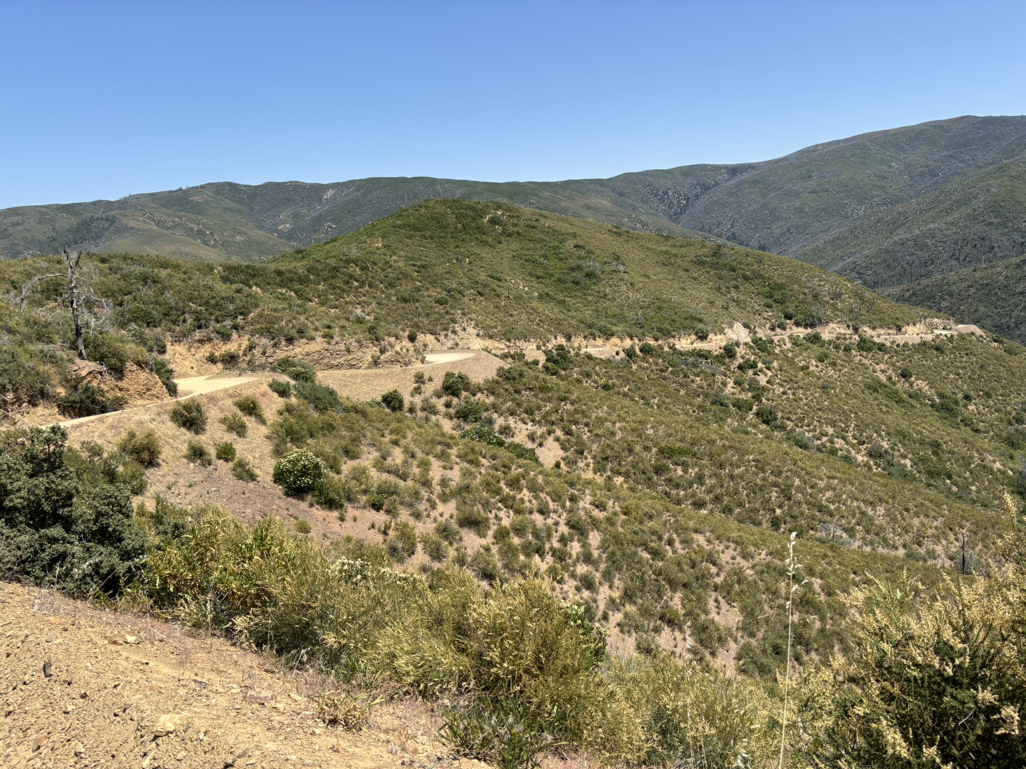
Goat Mountain is a true hors catégorie climb. The Mendocino National Forest is unique as California’s only national forest not crossed by a paved highway, offering an exceptionally wild and remote experience.
After descending from the forest into Potter Valley, the route follows a fun singletrack along the shores of Lake Mendocino. Just a few miles south lies Ukiah, your final full-service resupply. Hotels, restaurants, grocery stores, and Dave’s Bike Shop make it the ideal place to prepare for the final stretch.
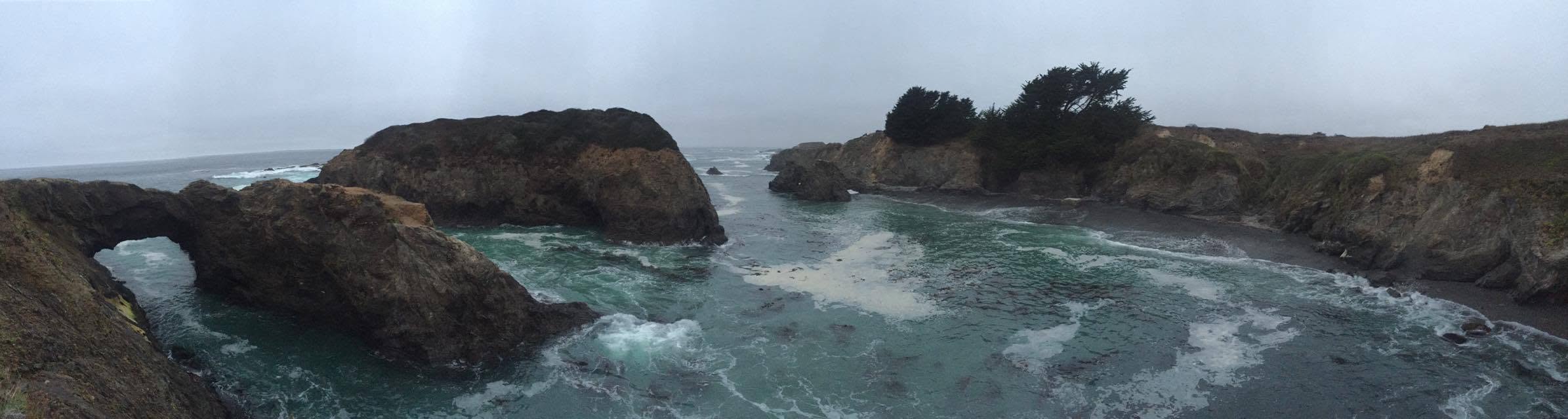
From Ukiah, it’s approximately 80 miles to the finish in Mendocino. As you cross the Coast Range, both the scenery and climate change dramatically, trading inland heat for cool coastal air.
The route traverses land managed by The Conservation Fund—the only section of private property along the entire course. The landscape here is breathtaking. A very short section after crossing the Big River can be overgrown in spring/early summer. It is usually trimmed by June.
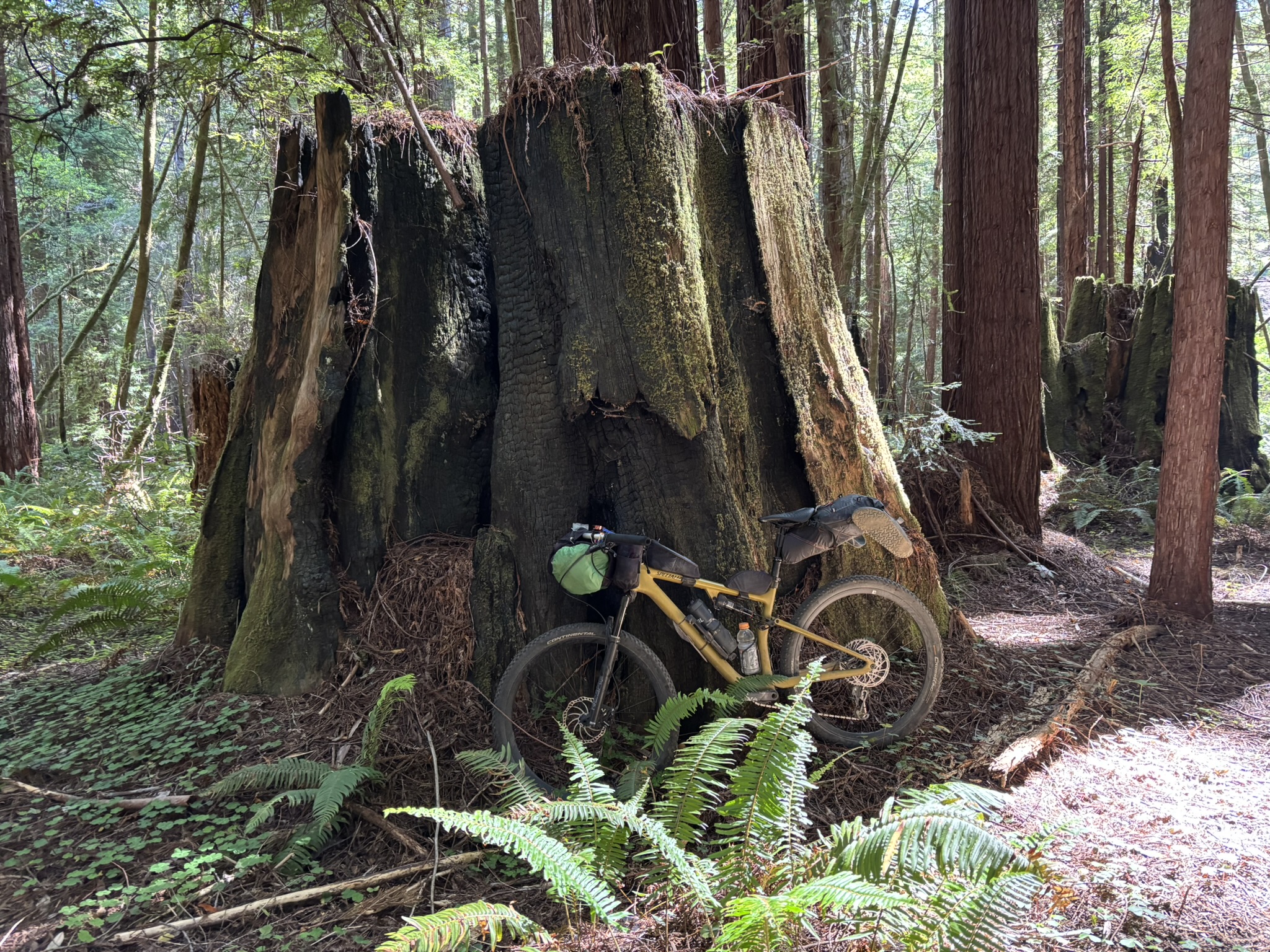
The adventure concludes in Jackson Demonstration State Forest, where towering old-growth redwoods create one of California’s most awe-inspiring riding environments. Save some energy for the finale: flowing, loamy singletrack around The Woodlands Camp delivers the perfect finish, with swooping turns, towering trees, and plenty of hootin’ and hollerin’ all the way to the coast.
You made it, enjoy the spoils of your adventure over a hot coffee and pastry from the local shop! An adventure of a lifetime.
A note on seasonality… Mid-May through early November is the best time of year to ride the route. If Sierras have a late winter, mid-May would be the earliest. In July/August the heat in the valley can be intense and its prime fire season. The route can be ridden into early November if winter has a late start. Always check the forecast and be prepared for any condition. The annual bikepack time trial is held Memorial Day weekend.
A note on sectional difficulty… The Sierras are tough: 7/10. The ruggedness of the fire roads will knock you around. Some are well maintained while others feel like you’re riding through a creek bed. Sacramento Valley is 2/10. Mendocino National Forest through coastal hills is 6/10.
- Paved: 40%
- Gravel: 20%
- Rough 4×4 Road: 23%
- Singletrack: 17%
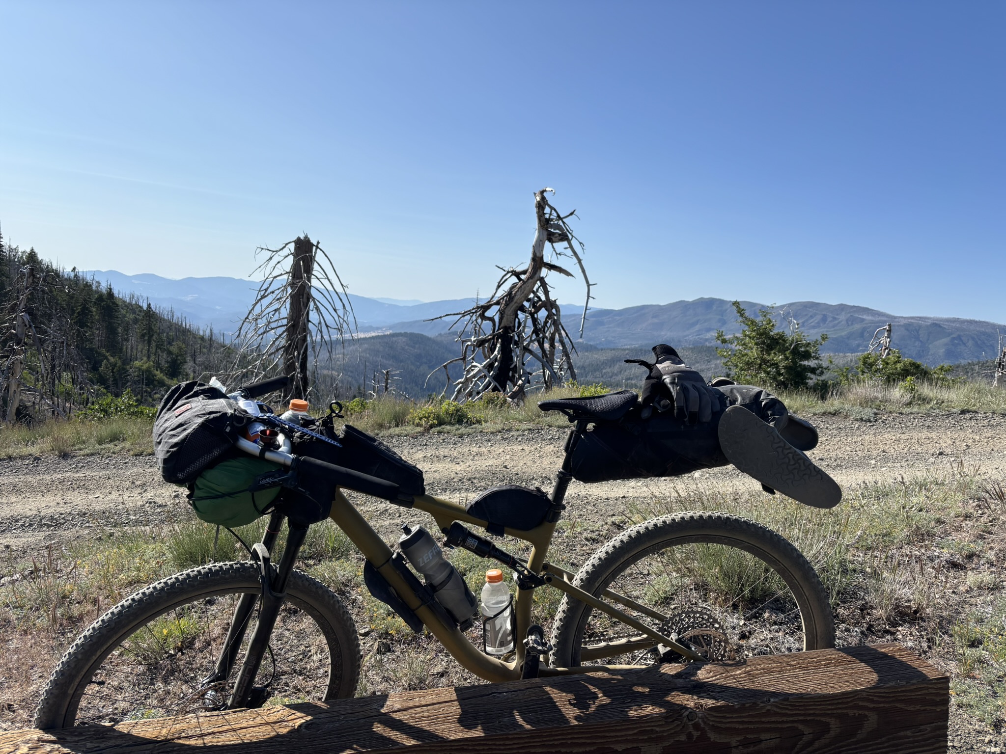
Bike Selection: The route will throw everything at you from smooth pavement to the roughest 4×4 roads. A mountain bike with a minimum of 2” tires is recommended, however drop bar models like Salsa Cutthroat, Cannondale Topstone and Niner MCR’s with larger tires will work fine.
Water: Purification by filter or chemical treatment is necessary. Streams & creeks are abundant in the forest and small markets dot the route otherwise. Cold reservoirs and creeks are nice places for a quick dip as well.
Food Resupplies: Mile 96 Camptonville. Mile 151 Oroville, Mile 205 Maxwell, Mile 309 Ukiah and Mile 375 Mendocino. Other small markets are along the route but may not have regular hours. Please review course details for more information.
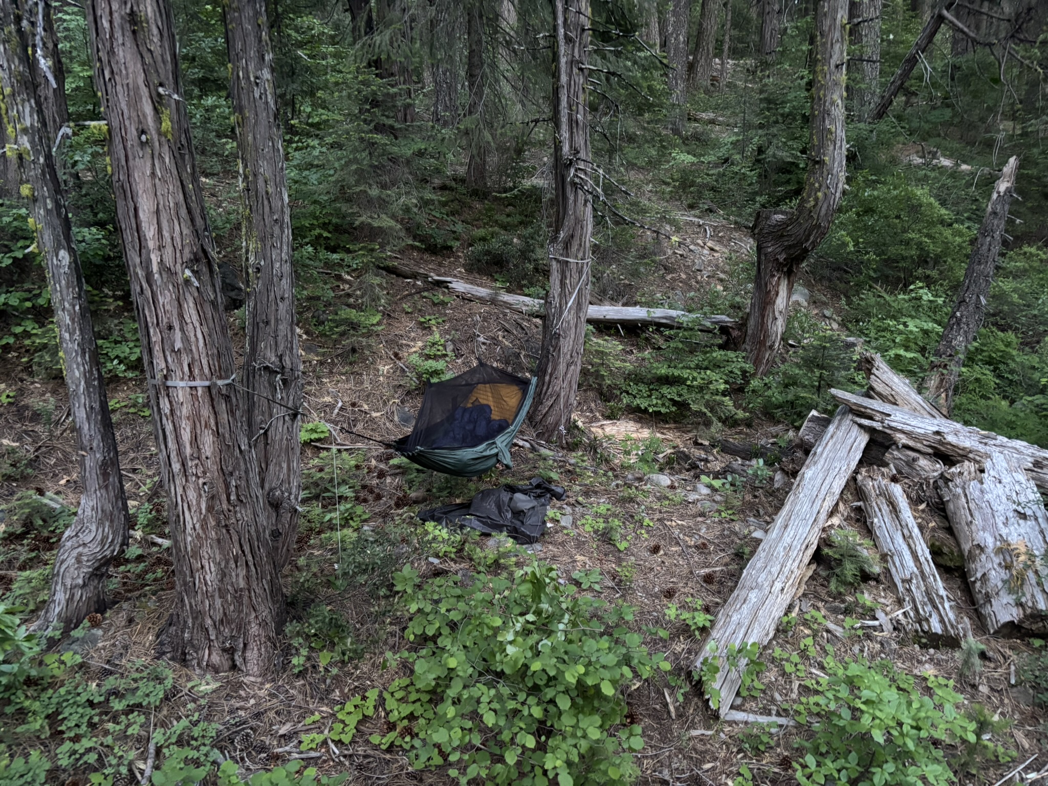
Camping/Lodging: Endless camping possibilities exist in national forests. There are campgrounds along the route as well. Hotels are at mile 129 in Brownsville. Mile 151 in Oroville, 309 in Ukiah and 375 in Mendocino. Off route 9 miles south of Maxwell (mile 205) in the town of Williams.
Fees and Permits: No fees or permits required.
Parking: Temporary parking is available at the start NV/CA border. Parking is also available in the town of Mendocino if you are dropping a vehicle at the finish.
Transportation To and From Route: Reno (RNO) and Santa Rosa (STS) offer the closest flights. Amtrak train offers service to Reno. Mendocino Transit Authority (MTA) offers bus service out of Mendocino (6:32am) to Ft Bragg, Ukiah & Santa Rosa. RNO is a nice 14 mile ride to the state line.
Take small steps: Break the route up into chunks. Ride the Sierras or cruise through the Valley. Want a big challenge? Ride from Ladoga to Potter Valley or Ukiah to the coast. Plenty of options are available to piece the course together over time.
Tracking Device: Always carry a tracking device like SPOT, Garmin In reach or Zoleo and always have a backup means of navigation while in the backcountry.
National Forest Updates: Tahoe https://www.fs.usda.gov/r05/tahoe/conditions Mendocino National Forest– https://www.fs.usda.gov/r05/mendocino/conditions
- www.TNCA400.com
- https://www.facebook.com/TNorCal
- @TNCA400 instagram
- https://www.mtbr.com/threads/trans-northern-california-2021.1176375/
- https://blog.bandok.com/2014/10/just-keep-moving-tale-of-inaugural.html
- https://rolandsturm.blogspot.com/2020/07/trans-north-california-2020.html
- Video of Forest City along the route.
- www.BONC.org
Doug Frederick created and stewards this route as well as puts on the inaugural TNCA 400 event. Here is a little about Doug in his own words:
Ohio and Michigan were my playgrounds growing up. The mid-west offers abundant camping, winter sports and bicycling opportunities. I fell in love with mt biking my freshman year at Miami University in Oxford, OH. No mountains existed but local parks had plenty of trails with hills. In 1993, after my grandmother was diagnosed with cancer, I raised money for the American Cancer Society by riding my bike from Los Angeles to Boston. I did interviews with local radio & TV stations as well as in newspapers to bring awareness and raise funds. That set in motion an insatiable thirst to ride bikes. I eventually moved to NJ where road racing took over my life as I worked up to a Category 2 racer. After 6 years I moved to Atlanta and after another 6 years made our way to NorCal. I love bikepacking. It is my favorite form of cycling. Adventuring into the unknown has been my mantra and I’m excited to share this wonderful route with all.
Acknowledgement: My wife Katherine and sons Louis and Sam for going with me on some excellent adventures and offering the freedom to explore on my own as well. My parents for exposing me to the wild. Dan Hensley aka Danimal, 2016 Tour Divide single speed winner. Nick Legan for publishing the route in “Gravel Cycling- The complete guide to gravel racking and adventure bikepacking” 2017
Doug has offered to be available to answer questions if you are planning a trip on this route. Please also get in touch with any updates on route conditions that may be relevant to other riders.
Please submit your questions and comments on the route via the contact form below.
We acknowledge that the lands these routes traverse are the ancestral homelands of Indigenous peoples, including the Northern Pomo, Northern Yukian, Bahtssal, Patwin, KonKow Maidu, Nisenan, and Washoe, who stewarded these mountains and rivers for generations. We honor their enduring connection to this land and recognize that their histories and cultures continue today, and we offer this acknowledgment with respect and gratitude.