Route Overview
Region
Miles
Days Out
Recommended Tire Size
Season
Fall - late fall
Elevation Gain
Difficulty
6/10 Technical
Primary Surface(s)
4x4


Route Map
Route Details
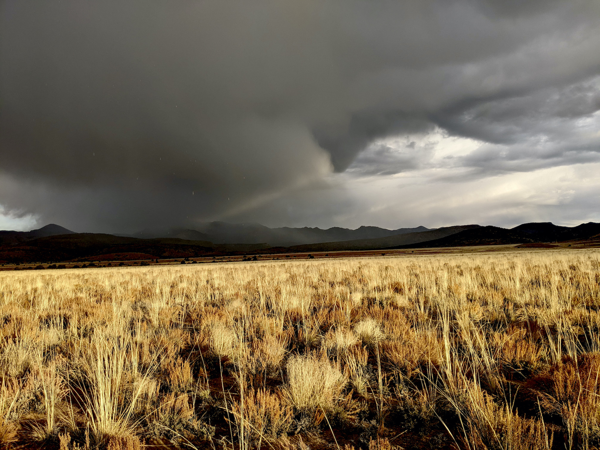
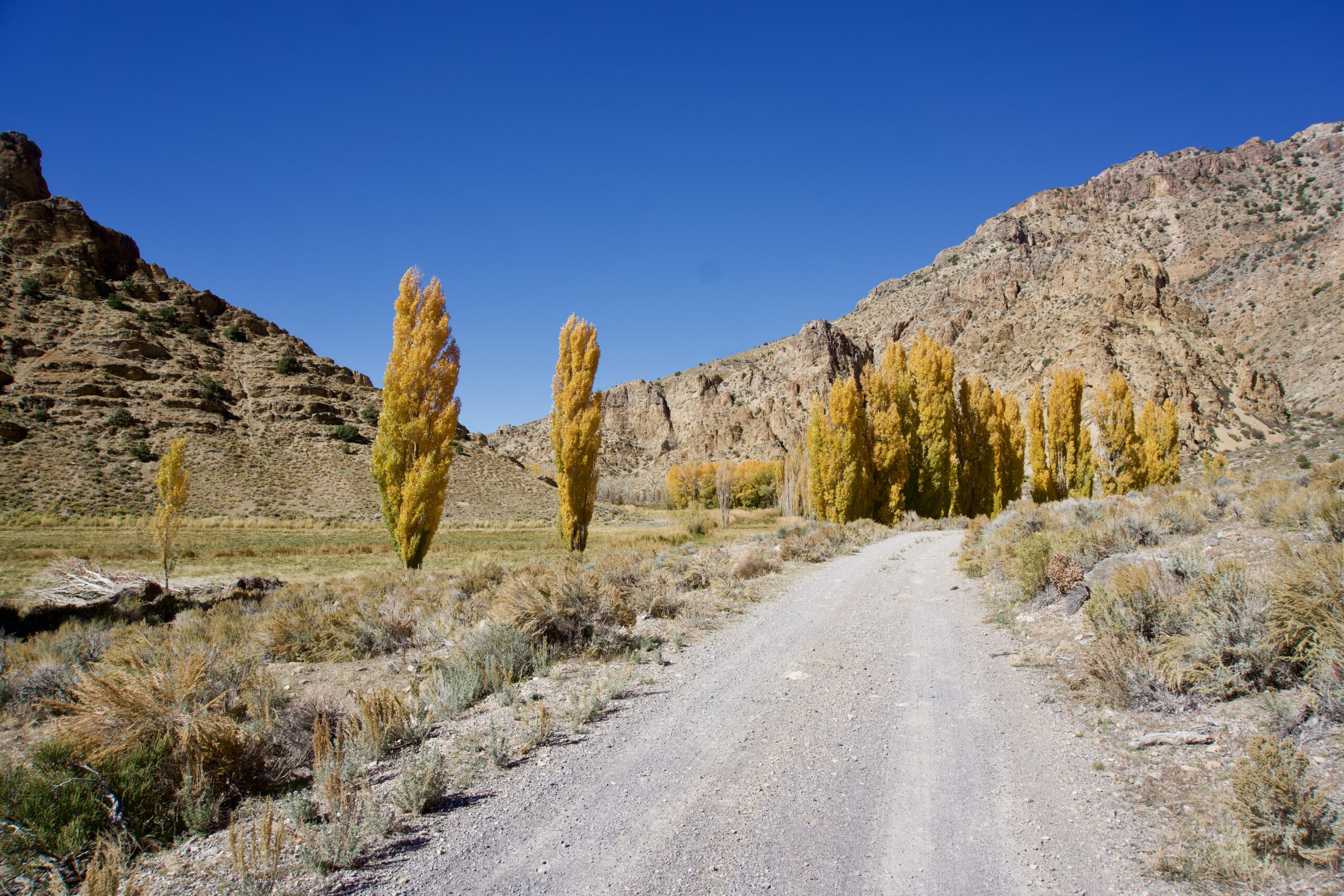
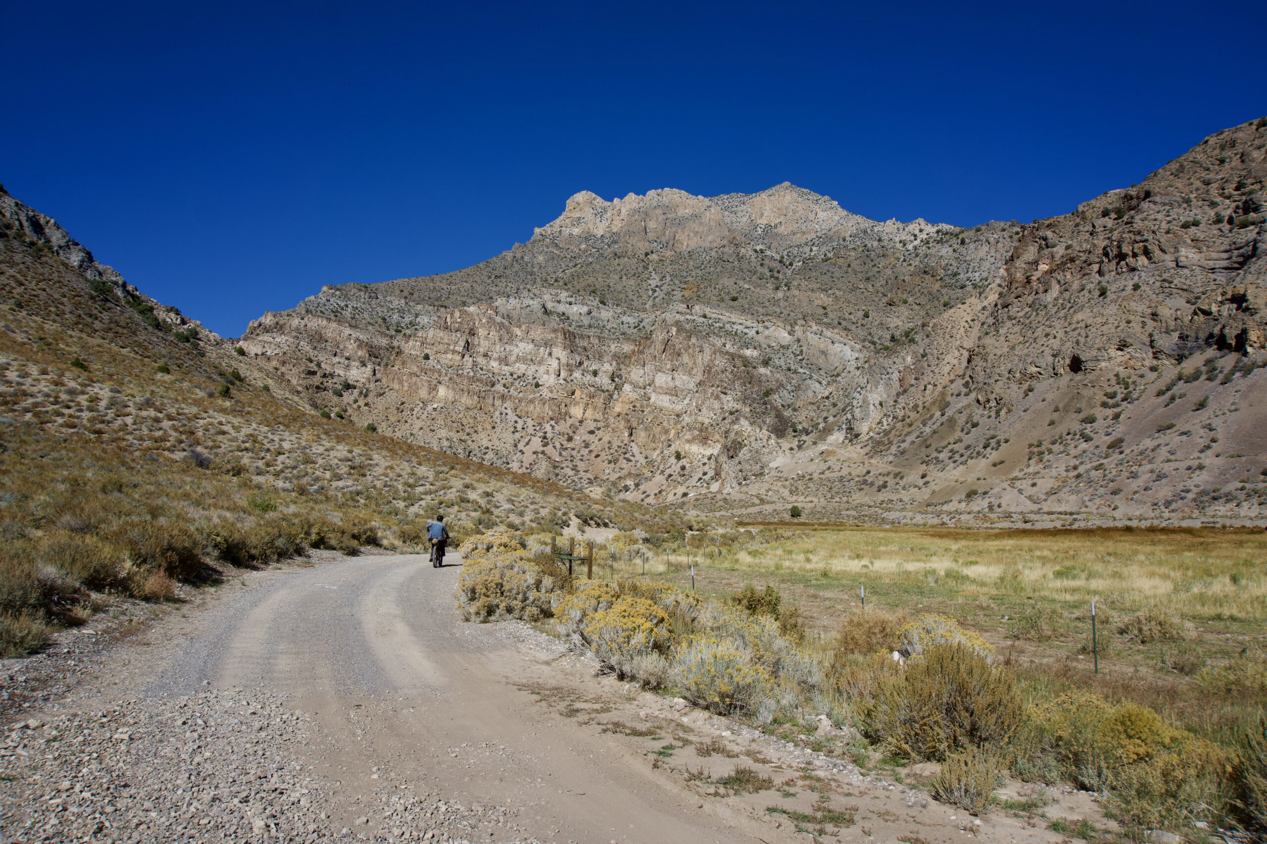
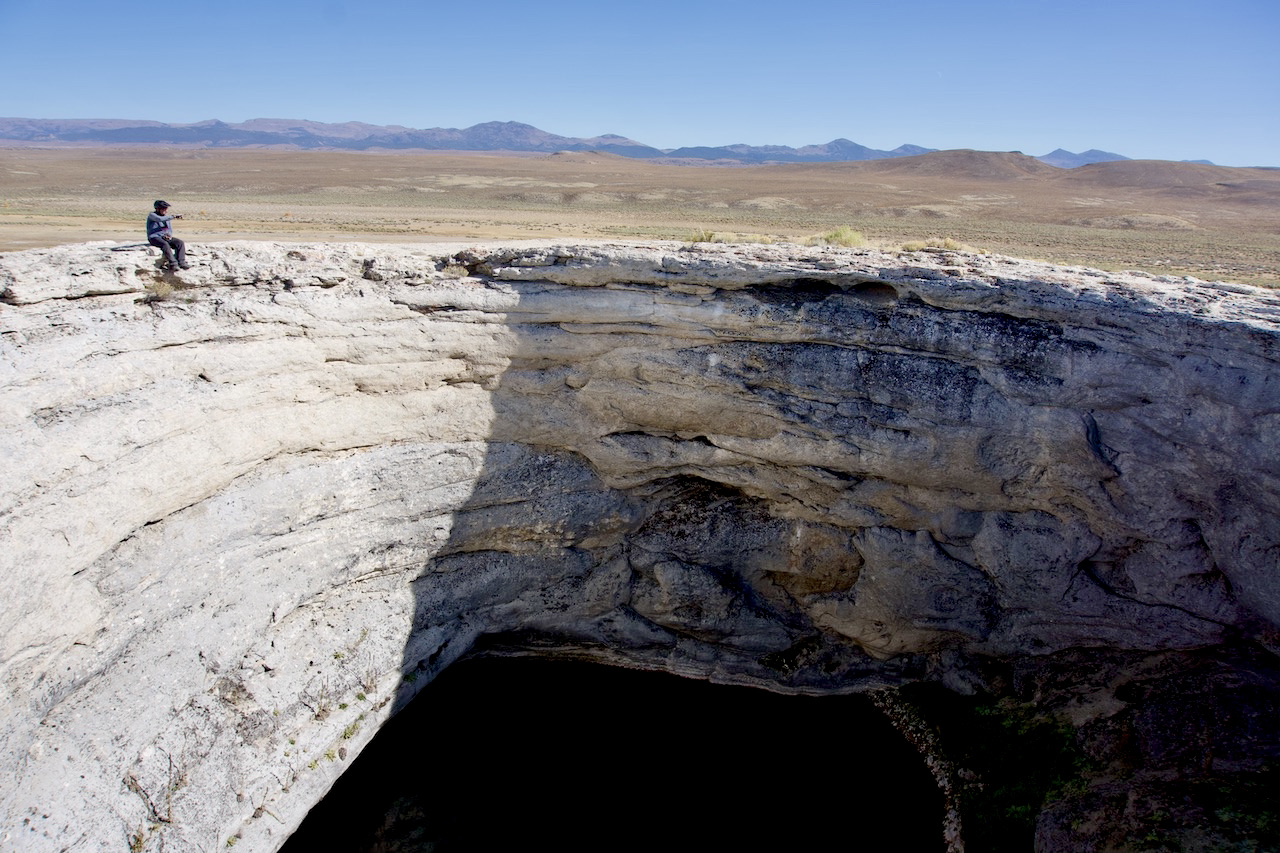
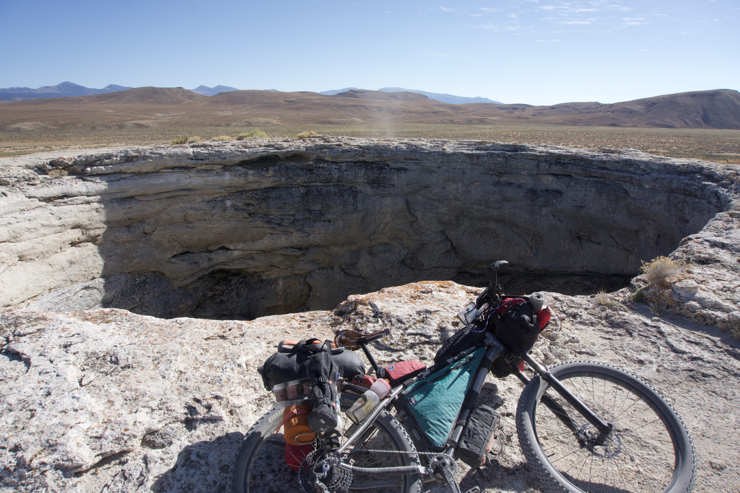
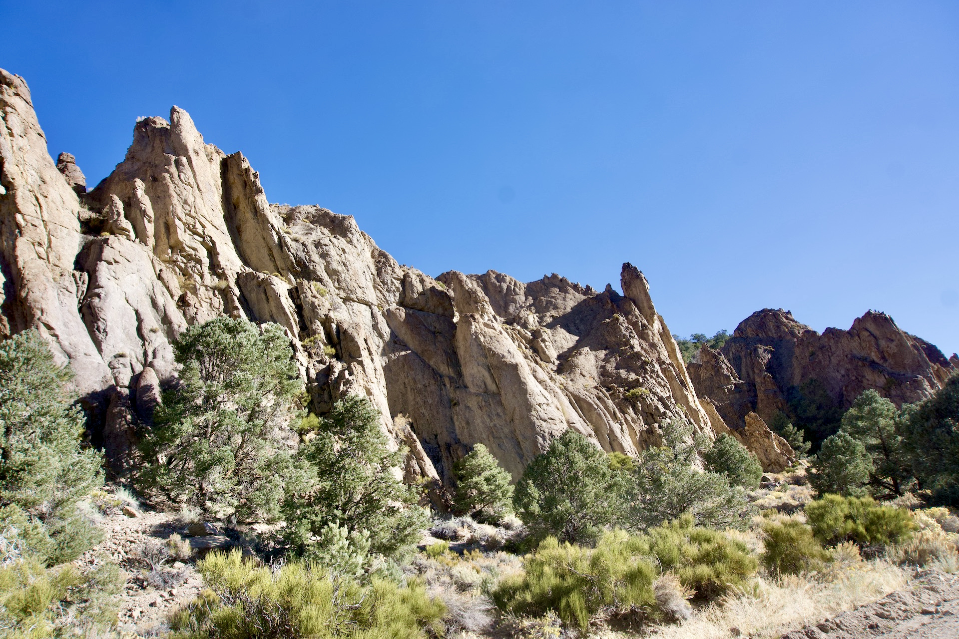
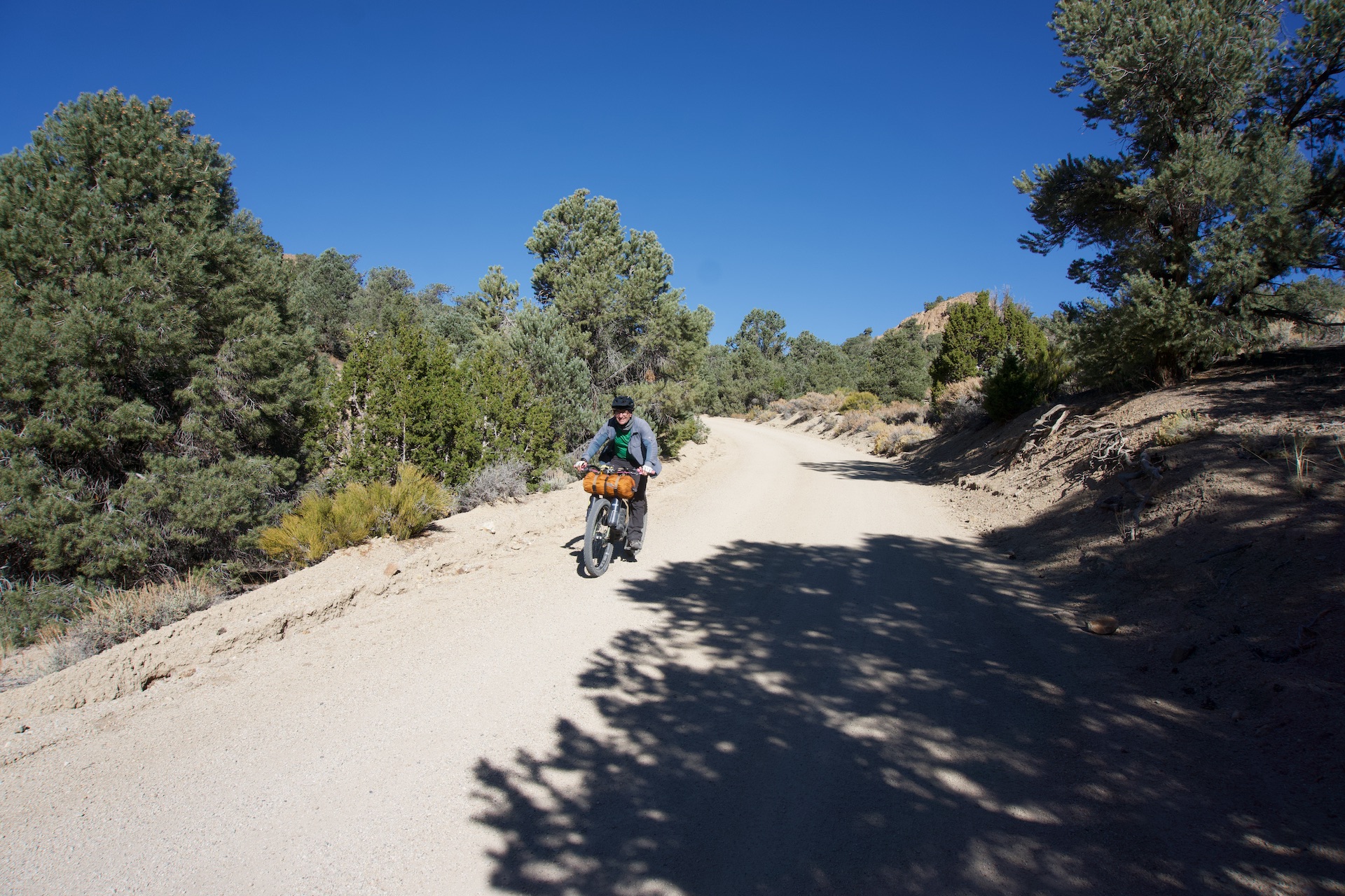
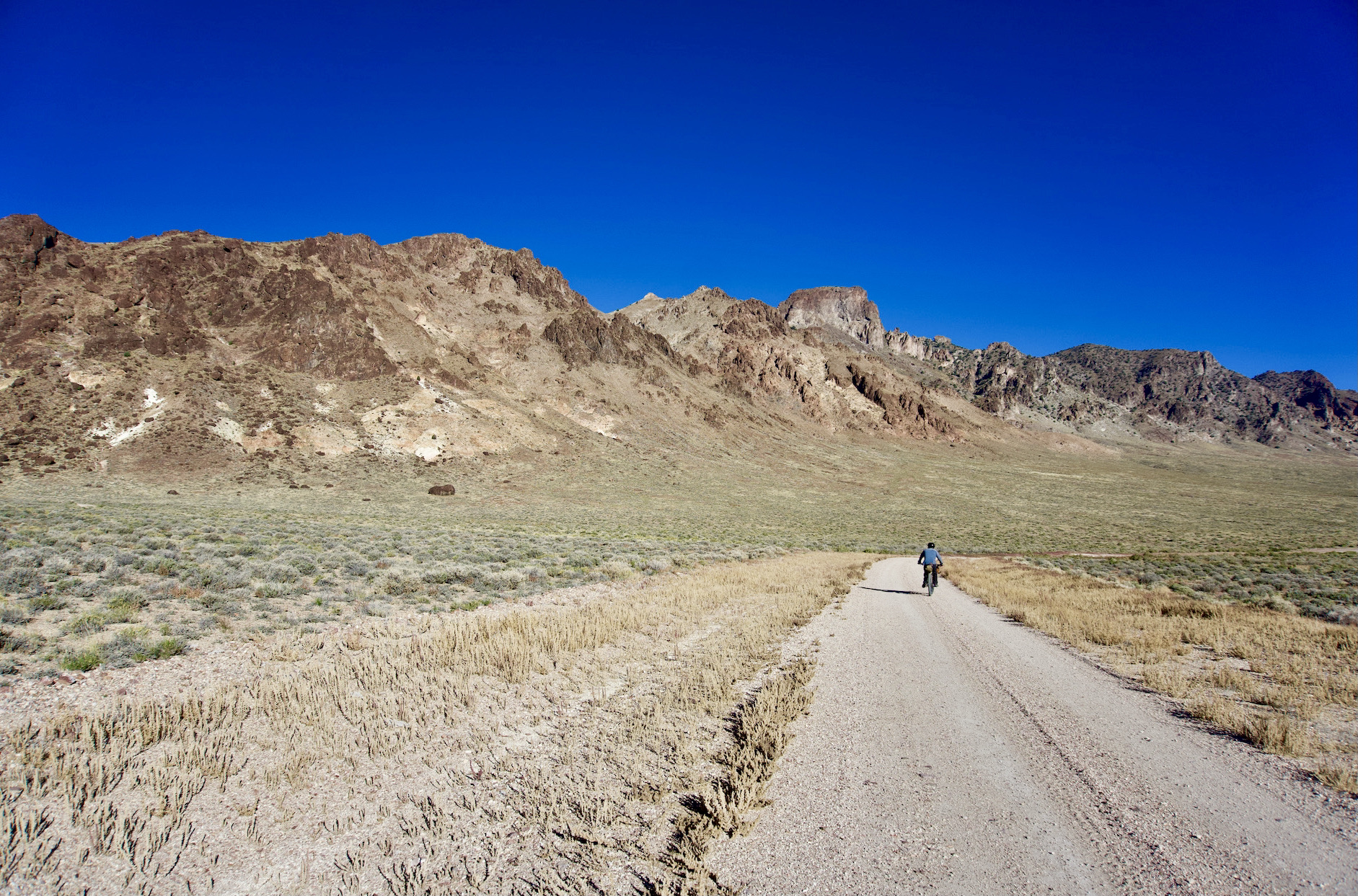
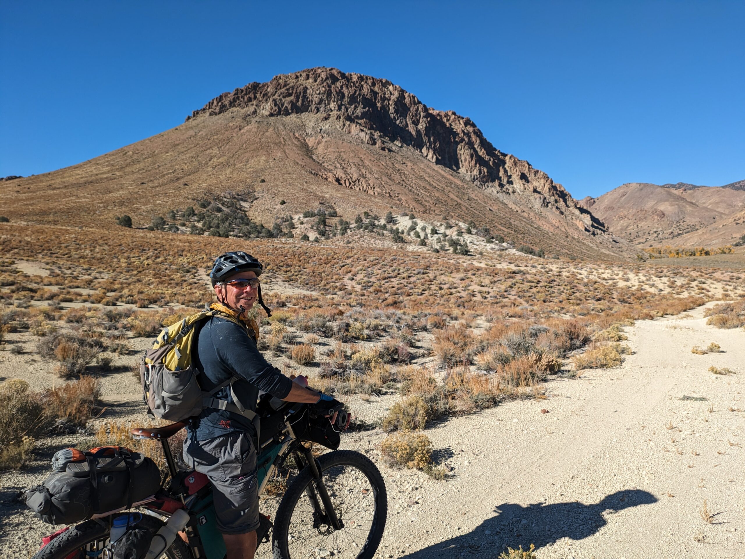
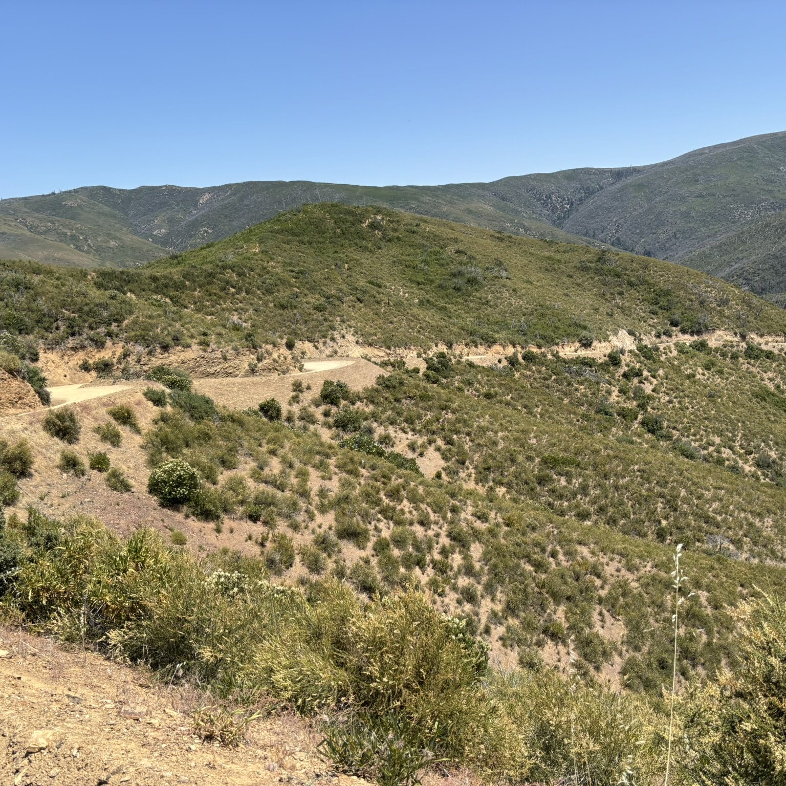
A deep dive into the central Nevada outback. Long flat valley’s, steep mountain passes, dry oceans of sage and lush riparian canyons. This route has it all including deserted mining towns and ranches as well as living ghost towns such as Belmont and Manhattan. Super scenic canyon’s, old stage stations, ancient petroglyphs and the travertine dome and steaming cauldron of Diana’s Punchbowl are but a few of the attractions along the way.
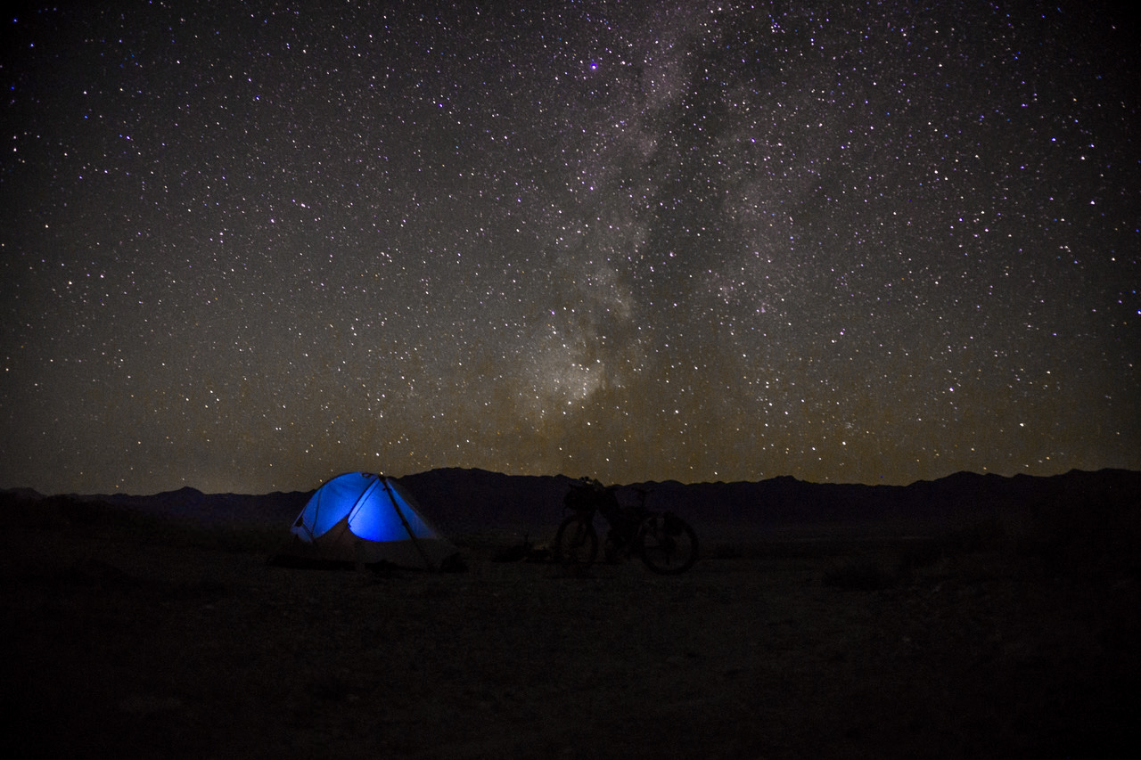
Named for the vast sage coverage and mountain ranges that ripple across these lands. Be prepared for the darkest of dark skies once the sun goes down over these big sky lands.
If you crave isolation, occasionally difficult travel and the darkest of Dark Skies, this route may be for you. Named for the vast sage coverage and multiple mountain ranges, the ‘ripples’, the route was initially ridden in October 2023 by Doug and Kurstin, aka Bikepacking Northern Nevada. This route has a bit of overlap with the other Bikepacking Roots Route: Dark Sky’s.
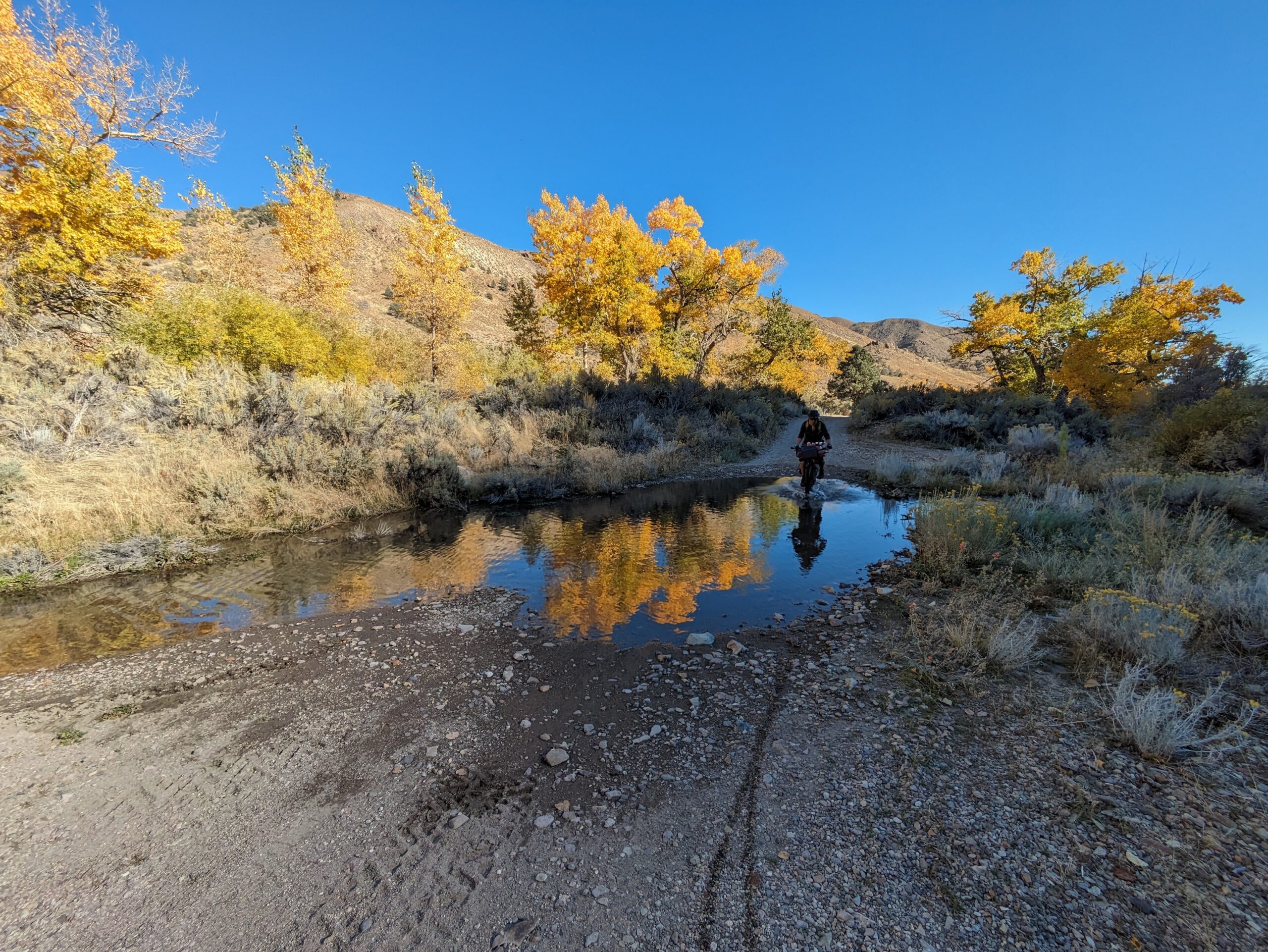
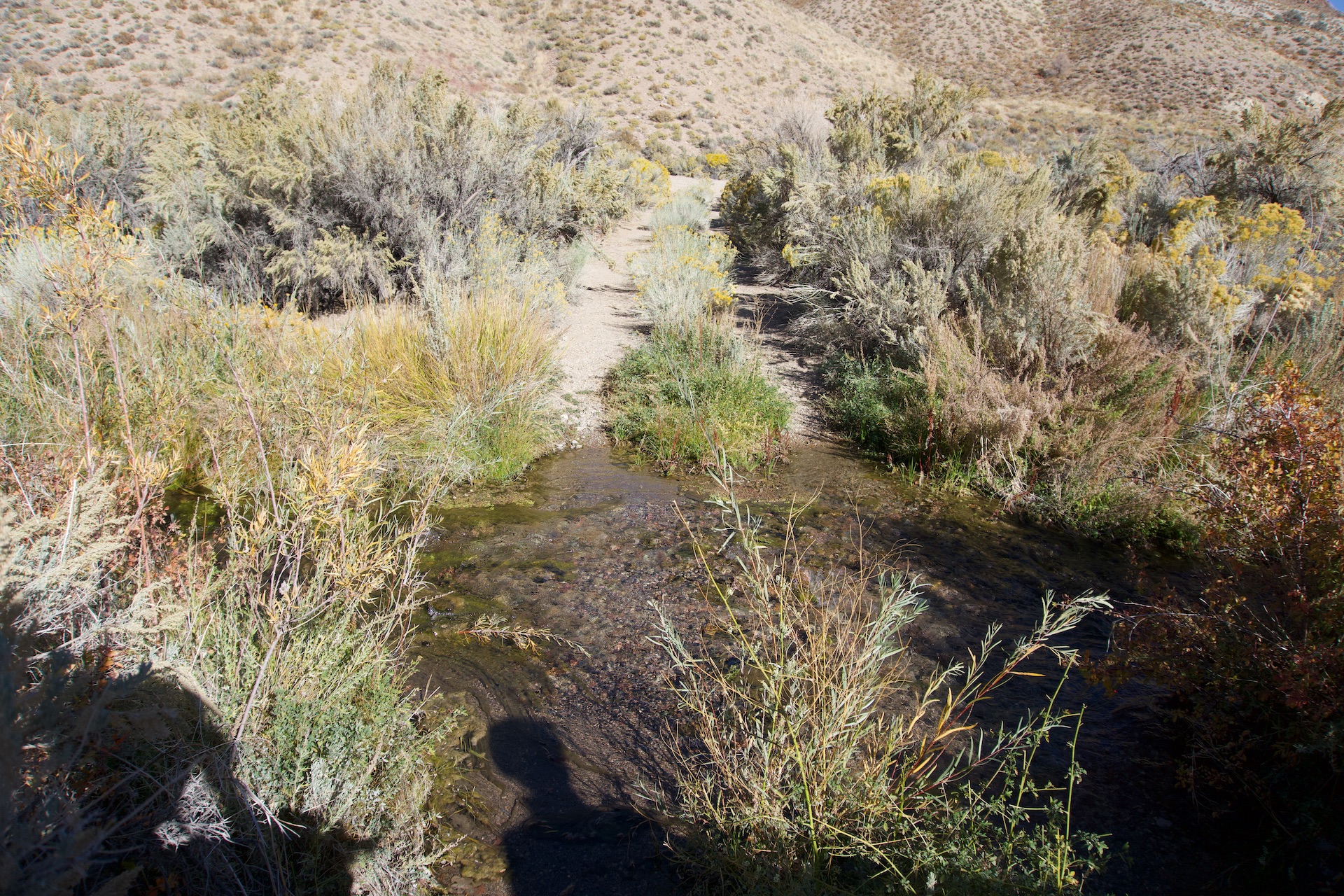
Leaving your vehicle below Berlin Ichthyosaur State Park climb up past the remains of Grantsville and descend to Indian Valley. Continue south to the old Cloverdale Ranch and stage stop. From there head SE then NE and intersect Cottonwood Creek. You will likely be able to find water in the creek below the abandoned ranch. A short but steep push leads out of the canyon then over to delightful Peavine Creek and campground.
Drop down into Big Smokey Valley and head into the company town of Round Mountain and excellent grocery store. Leaving Round Mountain head north and another potential resupply and sandwich shop located inside the Shoshone Market. There is also a motel and water/restrooms at the Big Smokey rest stop before leaving town.
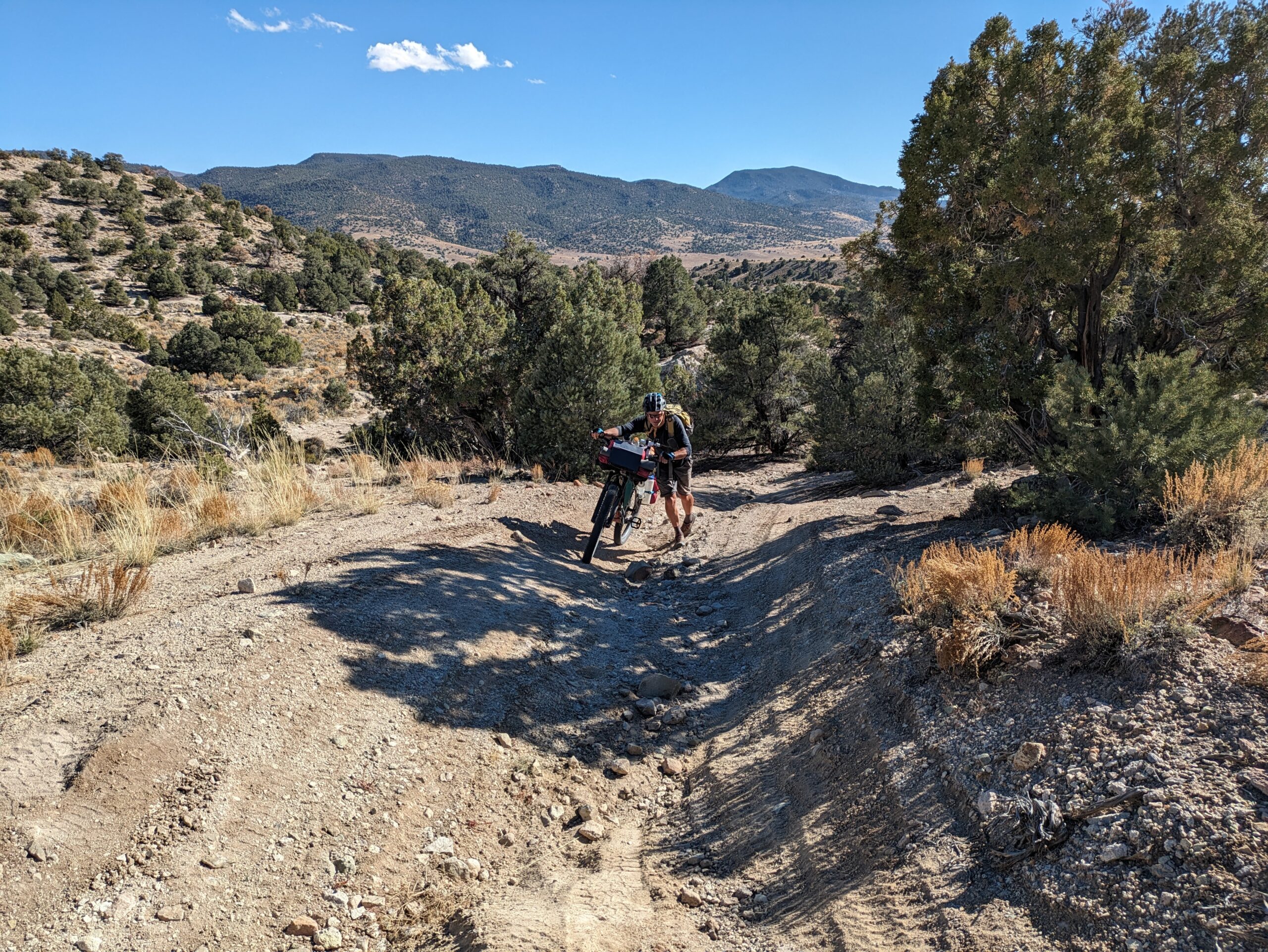
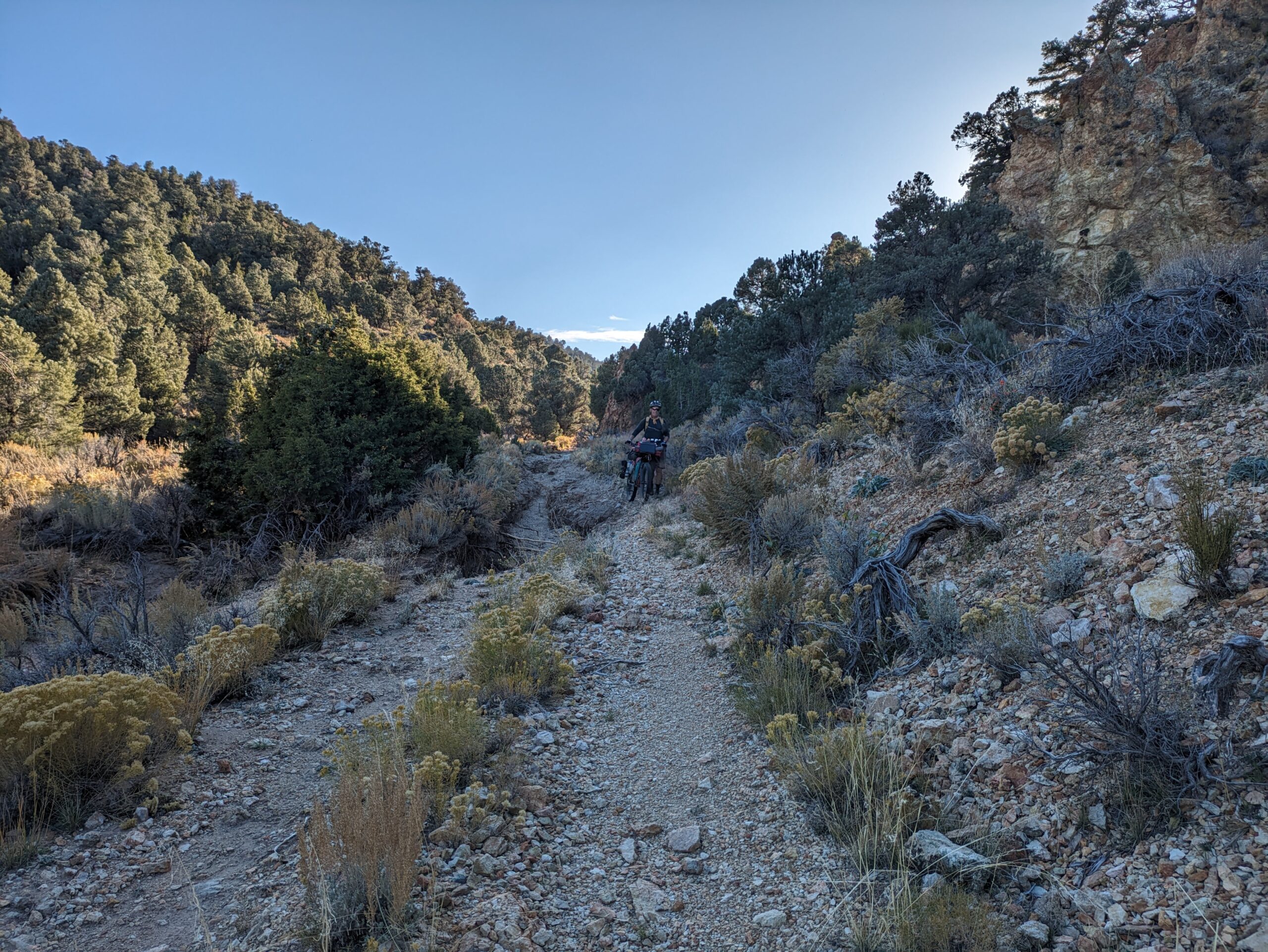
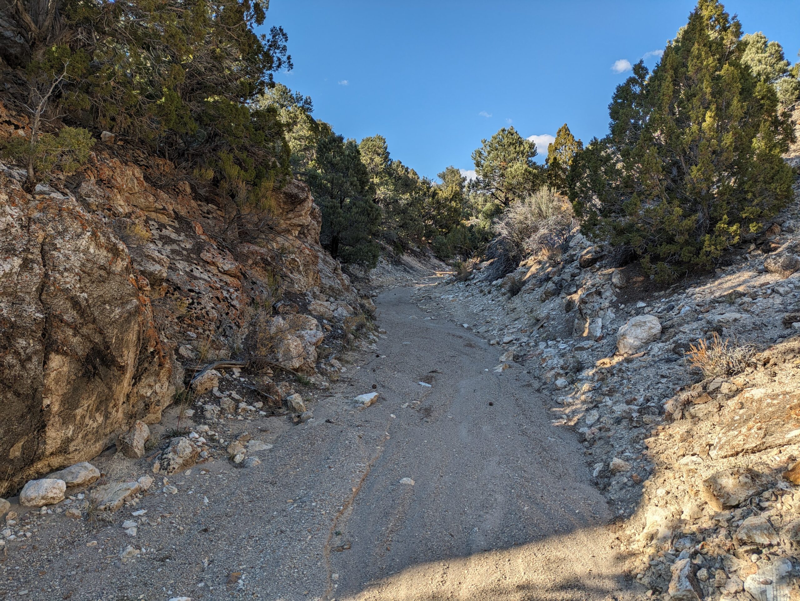
Next begins a long hot climb up over Charnock Pass and a descent into Monitor Valley. Don’t miss the geologic wonder of Diana’s Punchbowl! Turn off and pass-through Pott’s Ranch where you can fill up with water. Climb over Dobbin Pass and descend past the “Mini Grand Canyon”. Climb again up Cow Canyon on a washed-out track then descend Luther Waddles Wash. Take care here as there may be severe washouts that drop over 3-4 edges.
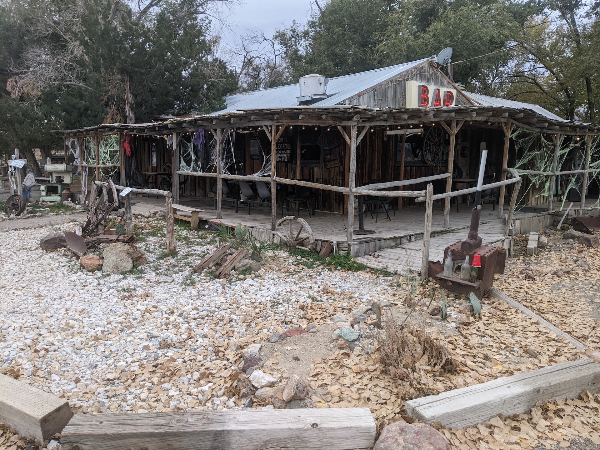
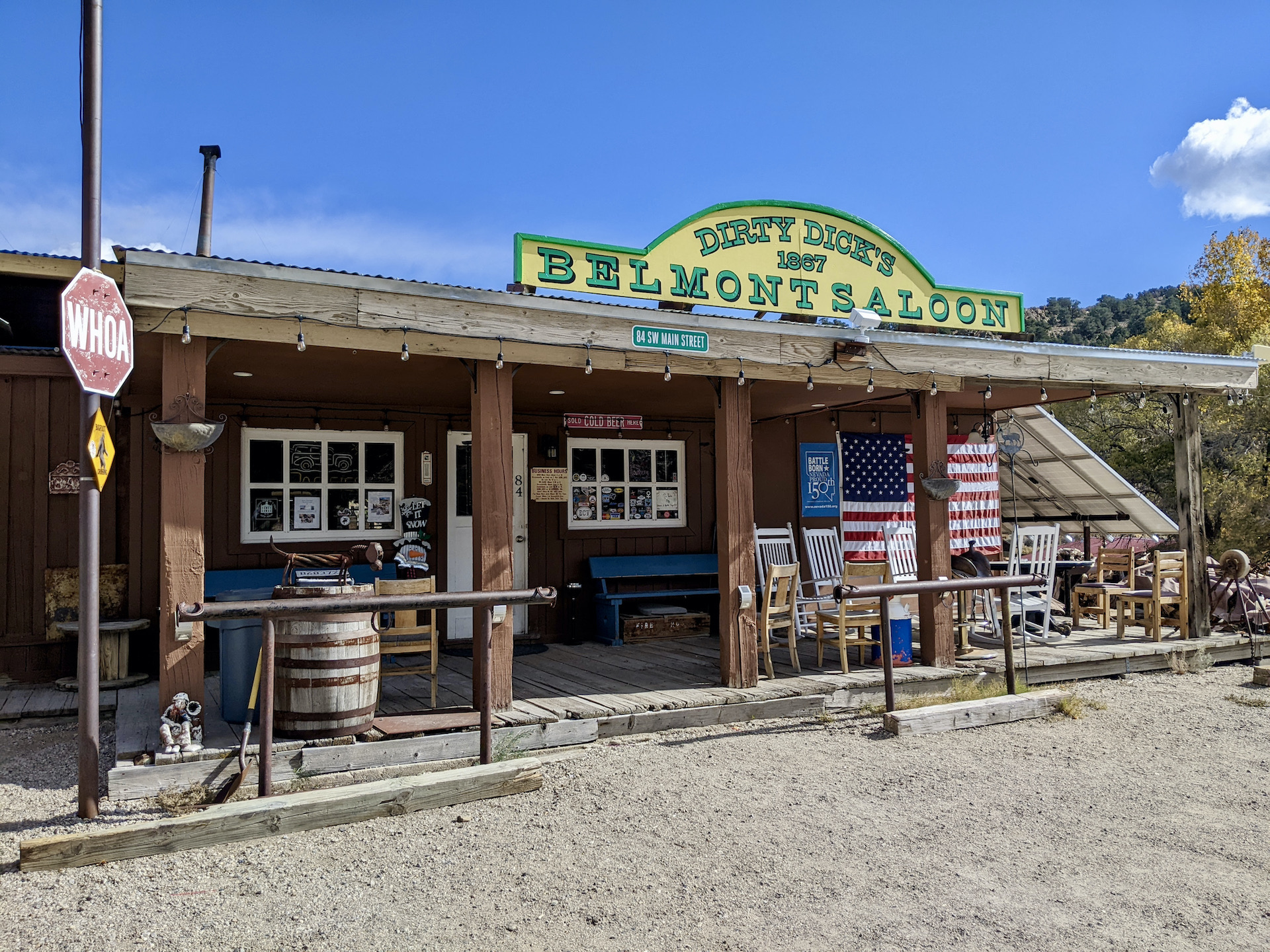
Eventually you will find yourself heading south again on good gravel past Moore’s station. Go check out the petroglyphs! Head south again and up Hot Creek Canyon, over rugged Eagle Pass, once again over the Monitor Range at Barley Summit and back down into the Monitor Valley. Head over to Belmont semi-ghost town. If you’re lucky maybe Dirty Dicks Saloon will be open.
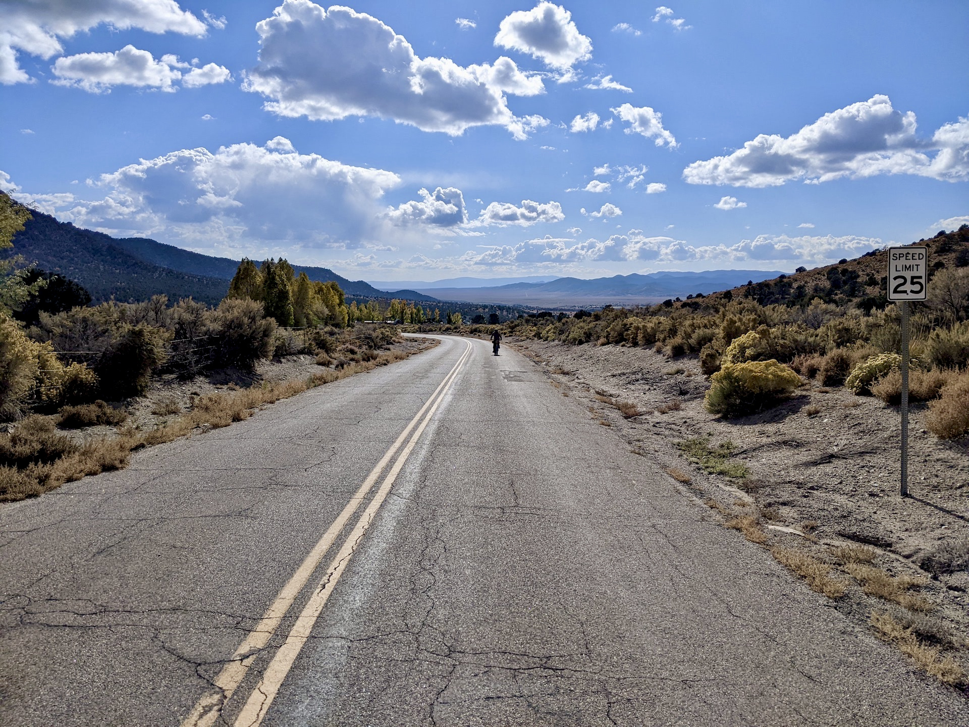
Fast pavement will take you out of town going south until more good gravel will lead you up to another semi-ghost town of Manhattan. Drop out of town to make an end run around the southern end of the Toiyabe Range and you will back in Ione Valley and the home stretch heading north back to your vehicle. Sagebrush Ripple in the books!
- Paved: 7%
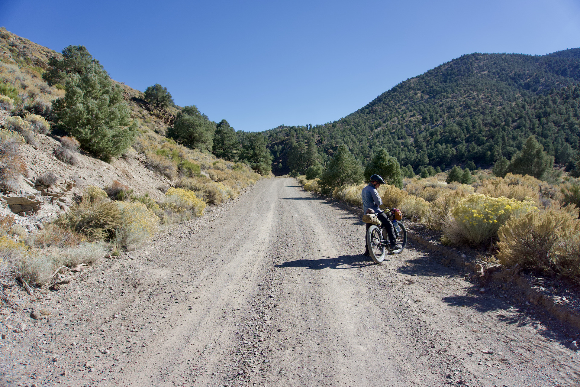
- Smooth Gravel: 52%
- Rough Gravel: 24%
- 4×4 Road: 17%
- Singletrack: 0%
BIKE SELECTION
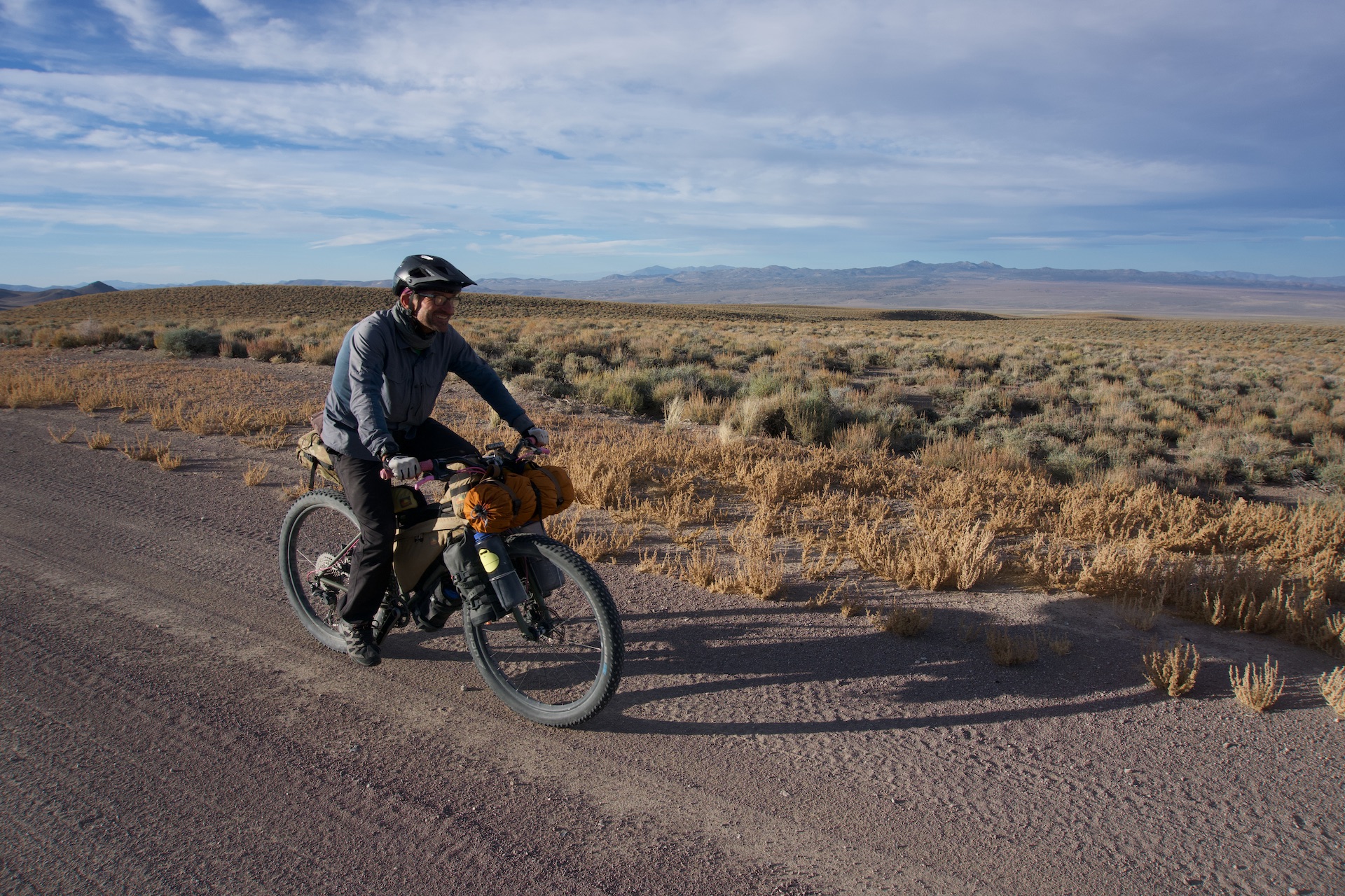
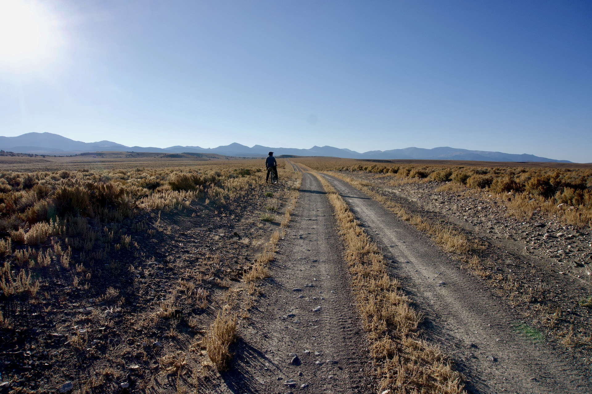
This route traverses remote areas in one of the least densely populated areas of the United States. The trail features challenging hike-a-bike sections as well as long sandy stretches, making the proper bike and tire choice critical. This route is suitable for mountain or fat tire bikes. While the route can technically be done with larger gravel tire bikes, overall, you will encounter conditions that are much more suitable for 2.6″ to plus-sized tires. If you bring a gravel bike, you will walk some sections. Fat tires are overkill, but you can certainly appreciate them, as there are times that you’d be happy to have them. Be prepared for fast flat dirt and steep pushing up deteriorating two-track. Washouts are common and there is one 9-mile section where there are multiple washouts and tricky riding, but overall, the riding is on pretty good to excellent dirt.
Ensure you are prepared to handle any bike mechanicals that you may encounter.
WATER
Having a means to treat water is required for this route. Be prepared to carry at least 7 liters of water at a time. While water sources are marked as points of interest on Ride with GPS and most of them are usually dependable, don’t put all your eggs in one remote water source basket; be prepared for the instance of encountering a dry streambed.
RE-SUPPLY
Resupply is limited along this route. Riders should plan to have adequate food storage capacity.
CAMPING
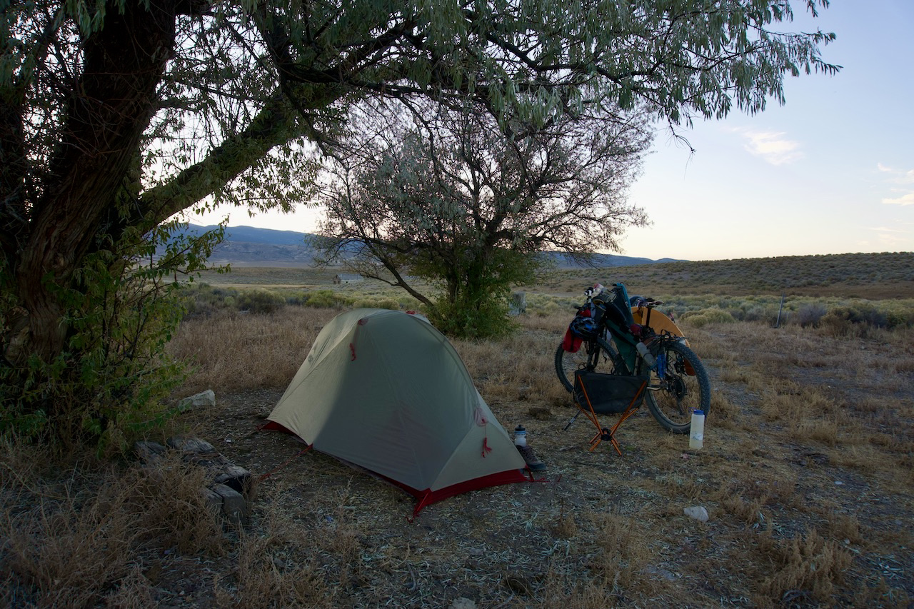
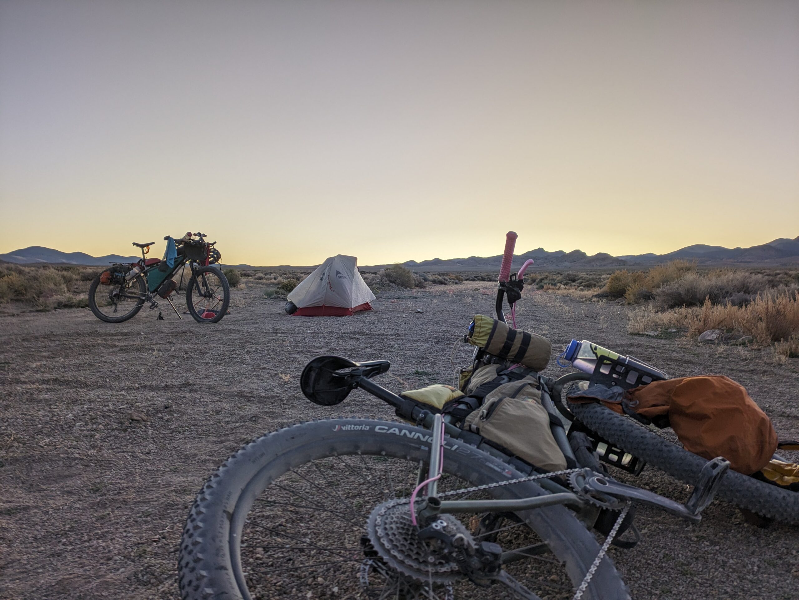
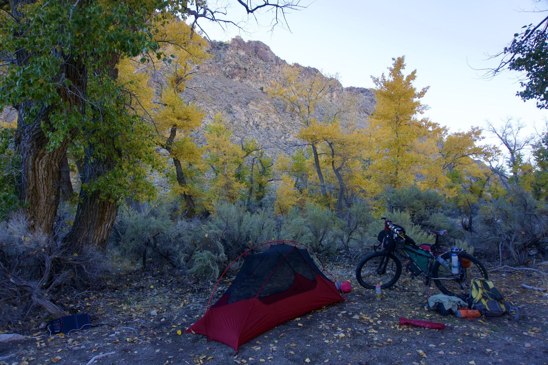
This route offers plentiful dispersed camping options, as the majority of it is on BLM or Forest Service land.
Bicycles are not allowed within Wilderness or Wilderness Study Areas. This route passes alongside the boundary of many Wilderness areas and Wilderness Study Areas. Camping IS allowed (BLM/Forest Service) as long as bicycles DO NOT cross the boundaries into these areas generally marked with boundary markers.
The route does cross small parcels of private land, mainly ranches. Please be cognizant of this and ensure you are camping on public land. We recommend utilizing a map with a private land layer such as GAIA GPS or OnX for reference.
PARKING
Typical NV roadside parking. Public transport is not available anywhere along this route. It is recommended you leave your vehicle below Berlin Ichthyosaur State Park and begin your ride from there.
GPS AND COMMUNICATION
A satellite communication device is highly recommended in the event you find yourself in trouble. You may go several days without seeing anyone, and cell service is certainly spotty. Ensure you have enough battery power and a backup form of navigation.
Doug and Kurstin each have a blog post that goes into greater detail on this route:
Sagebrush Ripple and Dark Sky’s are the work of Doug Artman.
Doug would like to thank Kurstin Graham (@bikepackingnv) for riding and vetting the route with him.
Here are a few words from Doug:
Upon retirement in 2015, I renewed my love affair with bikes following a long climbing addiction. I’ve always had a strong love for adventure and began combining bikes with other forms of adventure, such as hiking and packrafting. I’ve planned and executed such diverse adventures as climbing Mt. Logan in the Yukon, climbing seldom-visited summits in the Waddington Range of British Columbia, and, more recently, canyoneering/bikerafting the Green River, hiking/packrafting various areas of Lake Powell, as well as many self-created bikepacking routes in Nevada. My favorite winter pastime is finding interesting areas on maps and trying to link them all in a bikepacking route. I love Nevada and call Nevada my home.
Doug has offered to be available to answer questions if you are planning a trip on this route. We encourage you to be respectful of Route Stewards’ time, though, and to review publicly available materials first before reaching out with questions.
Please also get in touch with any updates on route conditions that may be relevant to other riders.
Please submit your questions and comments on the route via the contact form below.
This route traverses the traditional lands of the Northern Paiute and Shoshoni peoples.