Route Overview
Region
Miles
Days Out
Recommended Tire Size
Season
to April
Elevation Gain
Difficulty
4/10 Technical
Primary Surface(s)
Rough Gravel
Route Map
Route Details
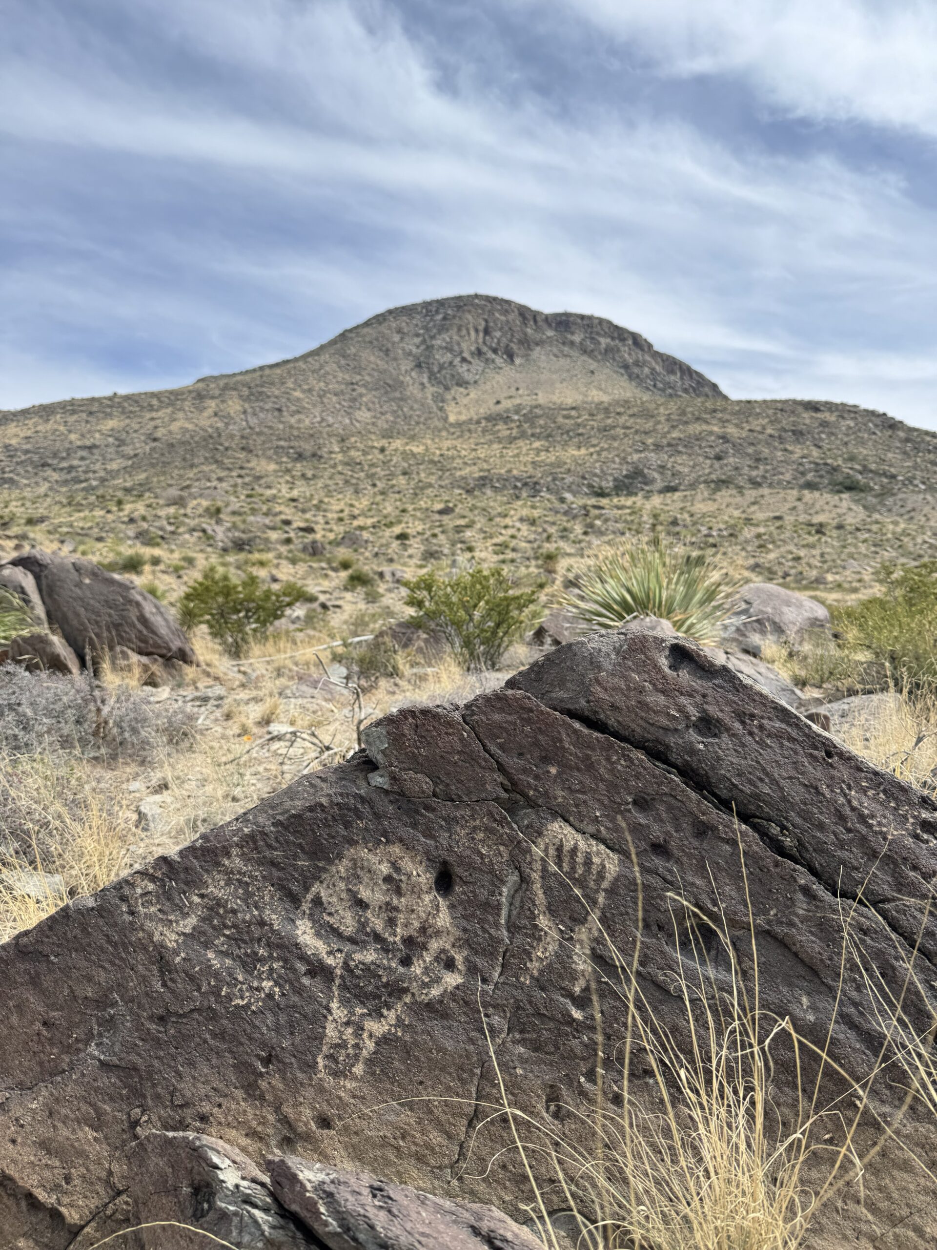
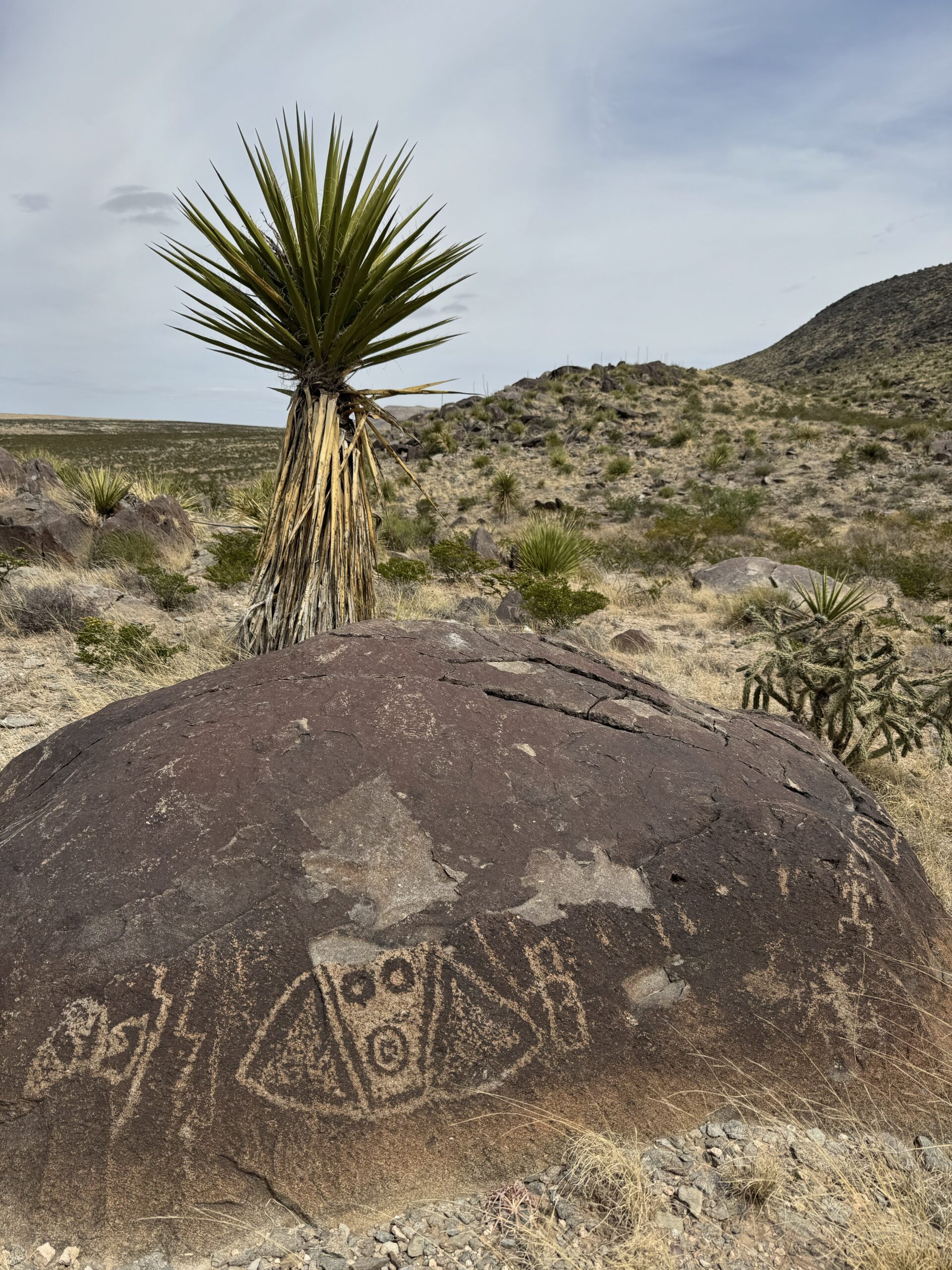
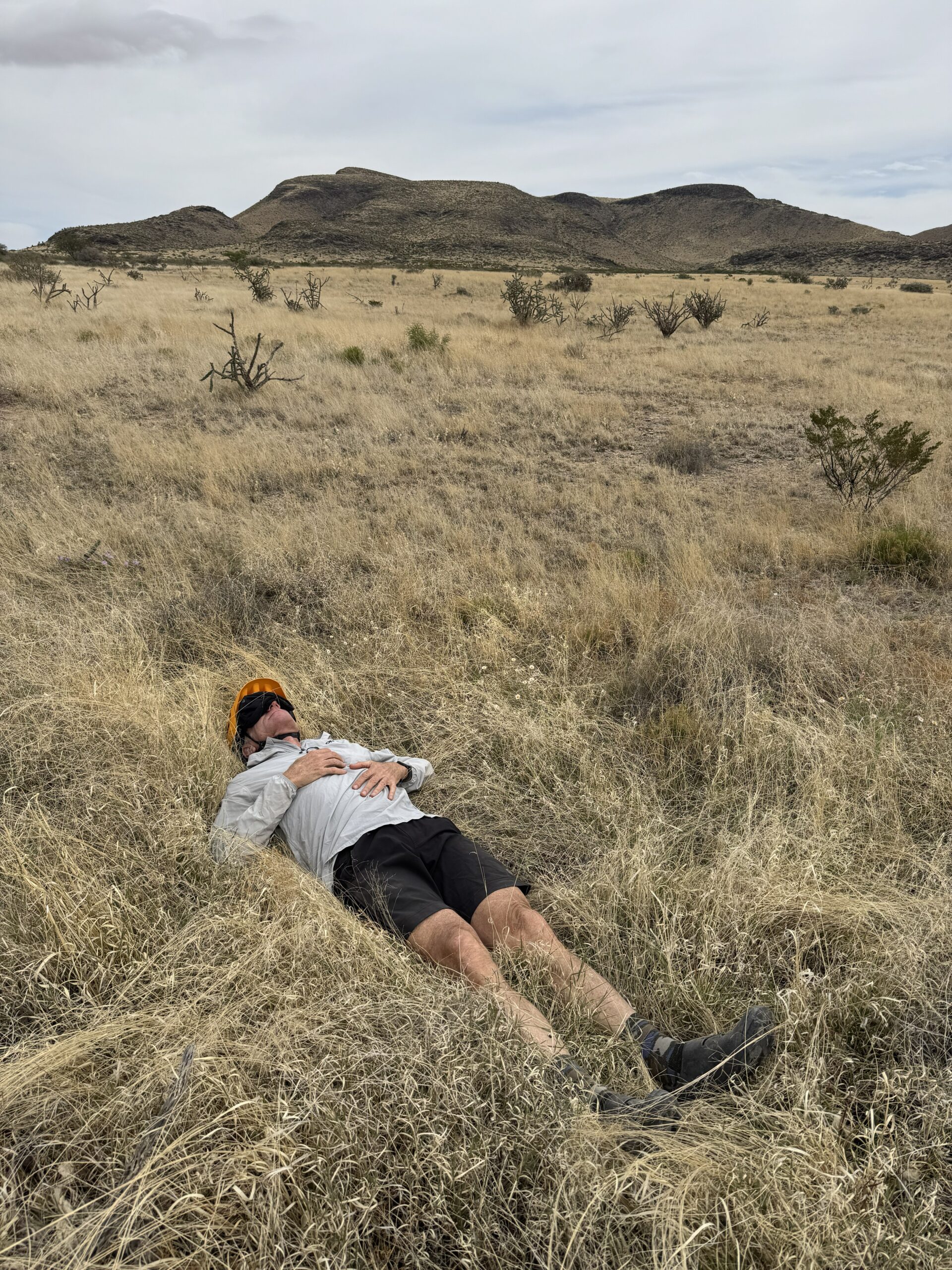
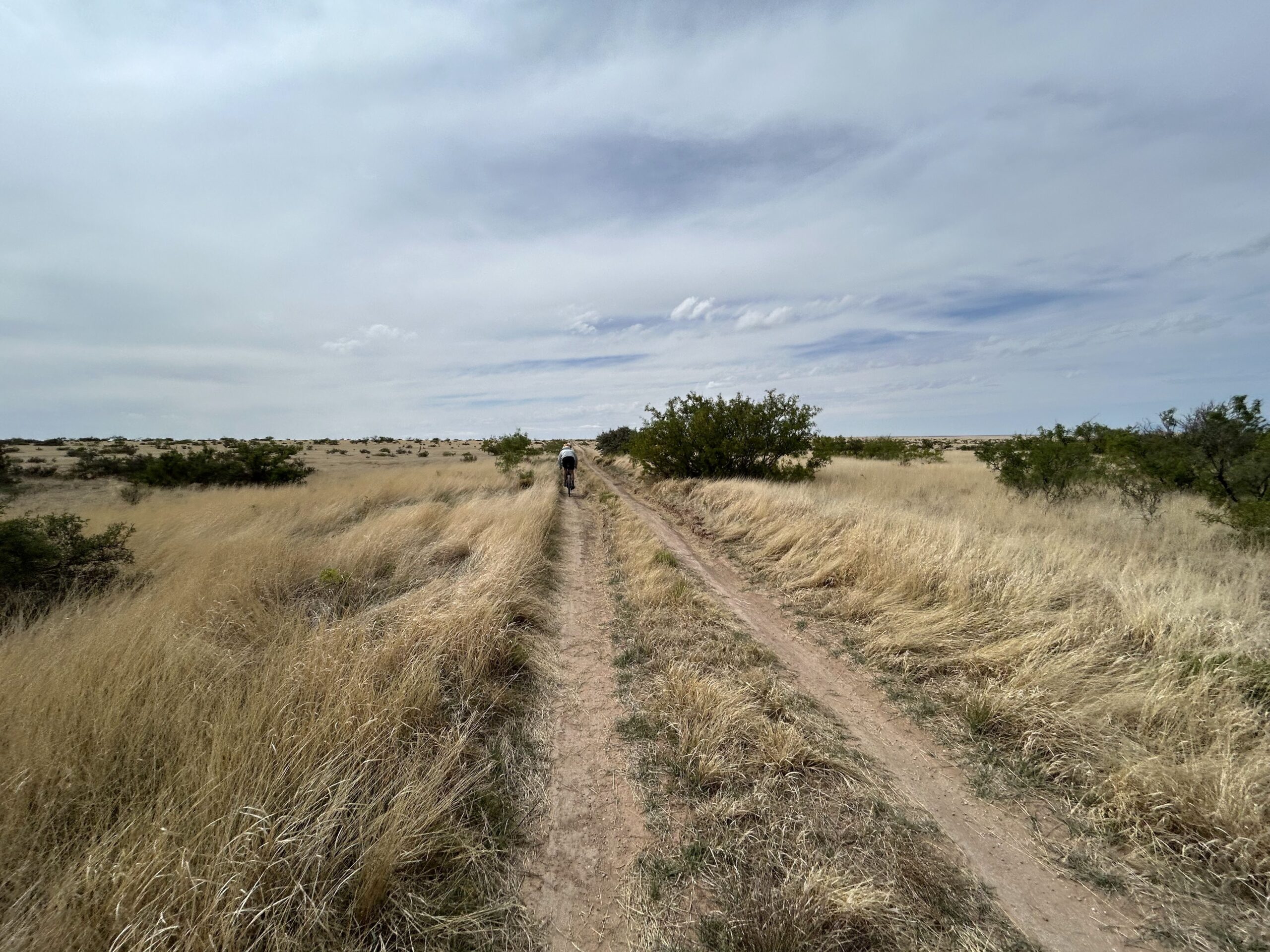
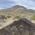
Wayfaring Stranger utilizes quiet gravel roads providing access to a sparsely populated region with expansive views, solitude, archaeological sites, and a large intact Chihuahuan Desert grassland on Otero Mesa.
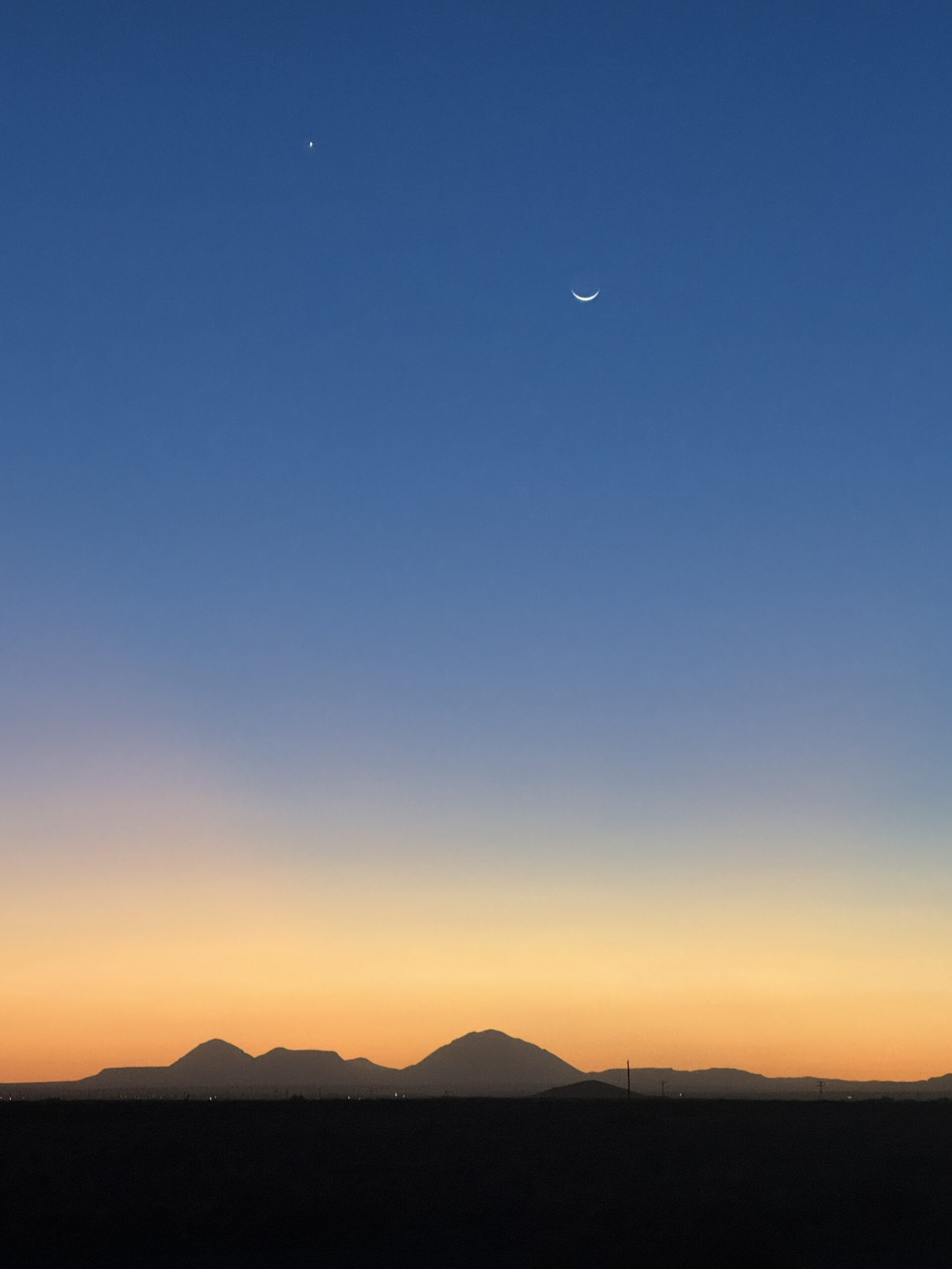
Wayfaring Stranger passes by Guadalupe National Park, the southern unit of Lincoln National Forest, four Areas of Environmental Concern in the remote Cornudas Mountains, the Brokeoff Wilderness Study Area, and the largest tract of intact desert grassland in the region. Visitors will see a variety of wildlife, archaeological sites, and experience a quiet remote area that feels a bit like traveling back in time. Night skies are extremely dark with only the faint glow of El Paso off to the west.
Wayfaring Stranger centers on the grasslands of Otero Mesa but includes some higher elevation riding in the Lincoln National Forest as well. With elevations ranging from 3,500 to nearly 7,000 feet, this route is best ridden during the shoulder seasons, with late September through November and March through April being ideal. Winter trips are certainly possible as the high elevation portions tend to stay fairly dry. Even during times of rain, the well-maintained gravel routes throughout the route are passable.
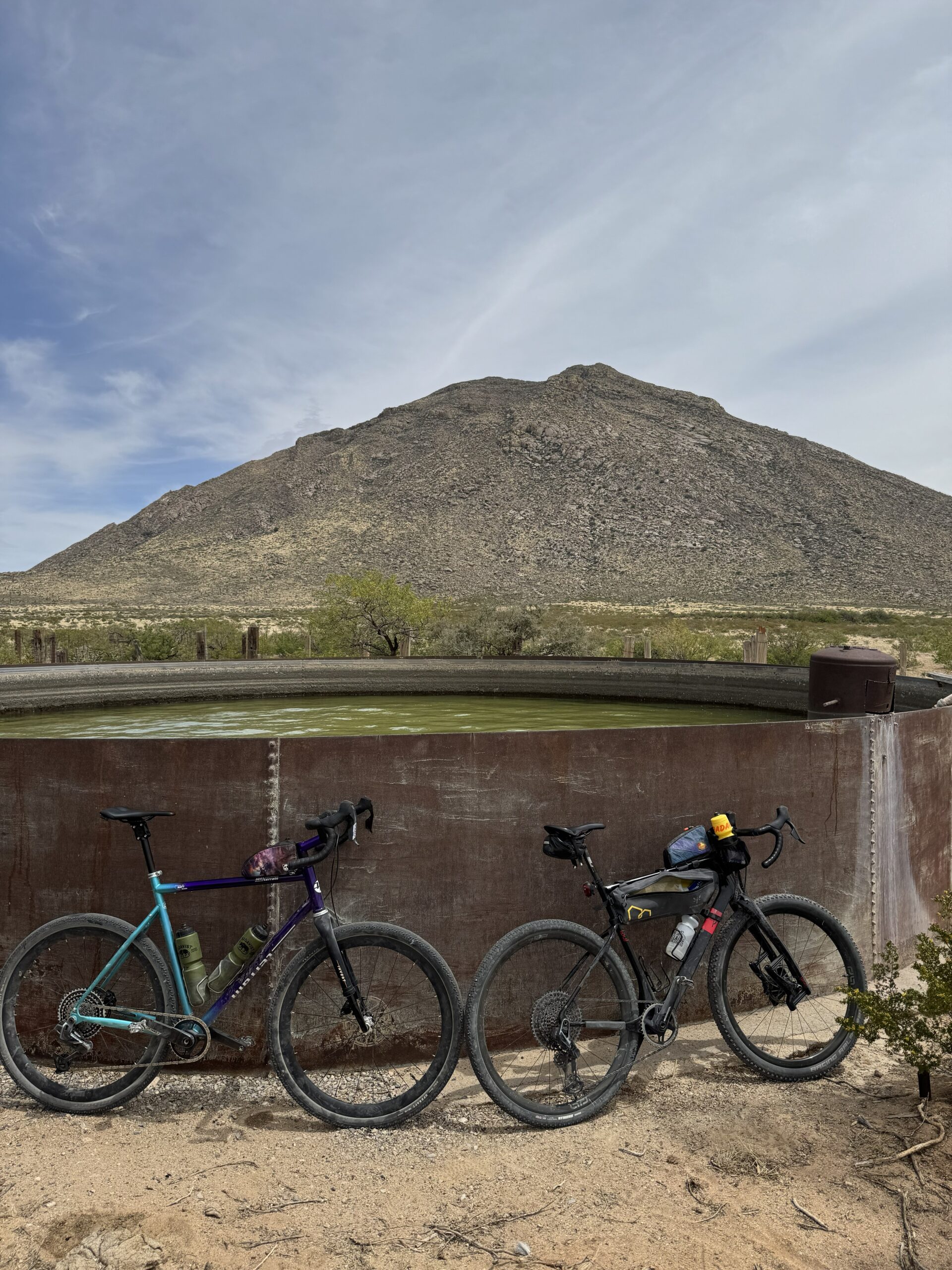
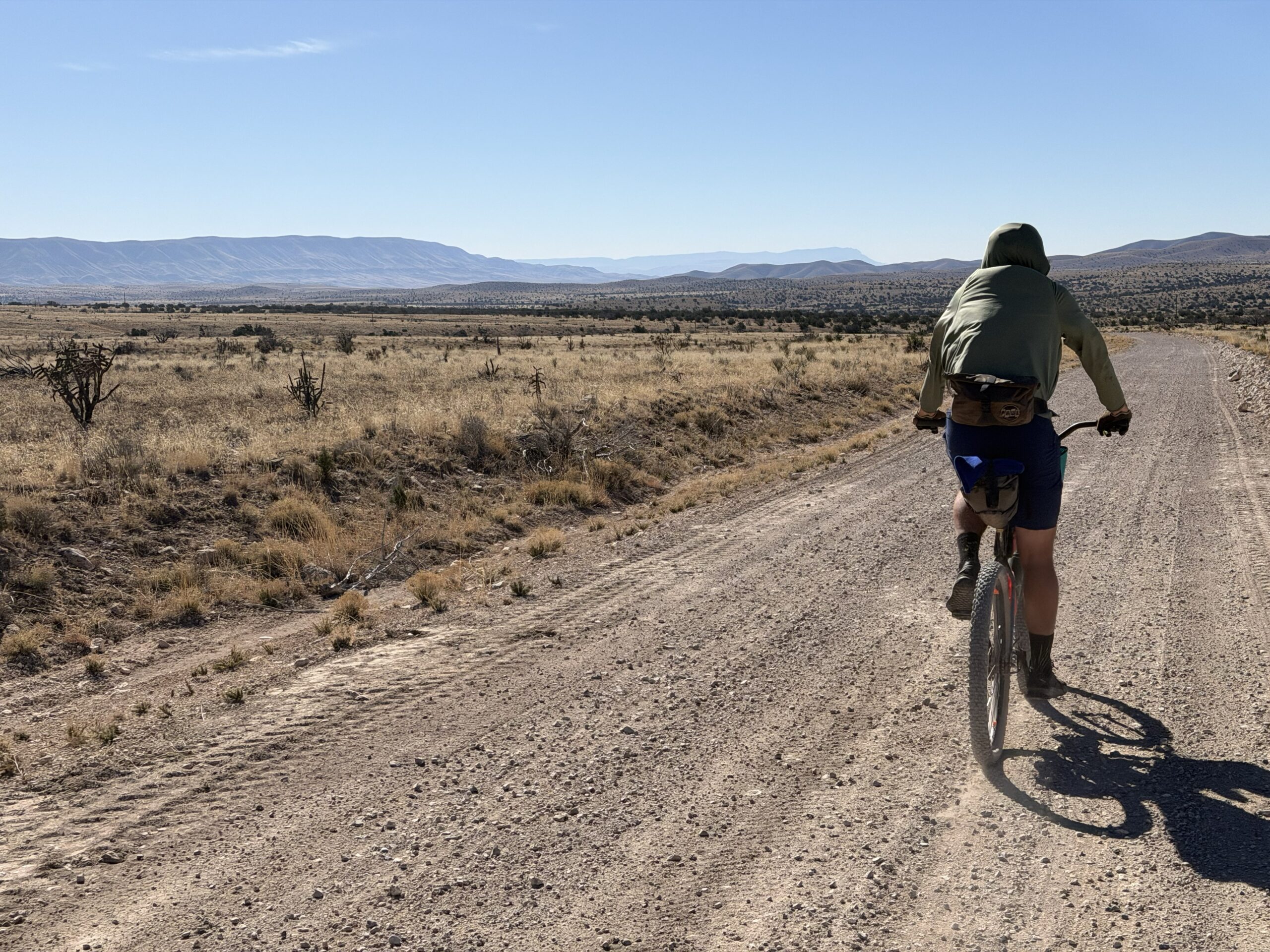
The roads themselves are inexplicably well-maintained for such a remote region. Excluding a few narrow two-track sections in the Cornudas Mountains, riders can expect to face minimal obstacles on the road. The challenges come from the solitude itself, which places a high importance on self-reliance. Distances between resupply points are extreme, up to 140 miles, with surface water being nonexistent. Cattle tanks are unreliable and of poor quality despite being numerous.
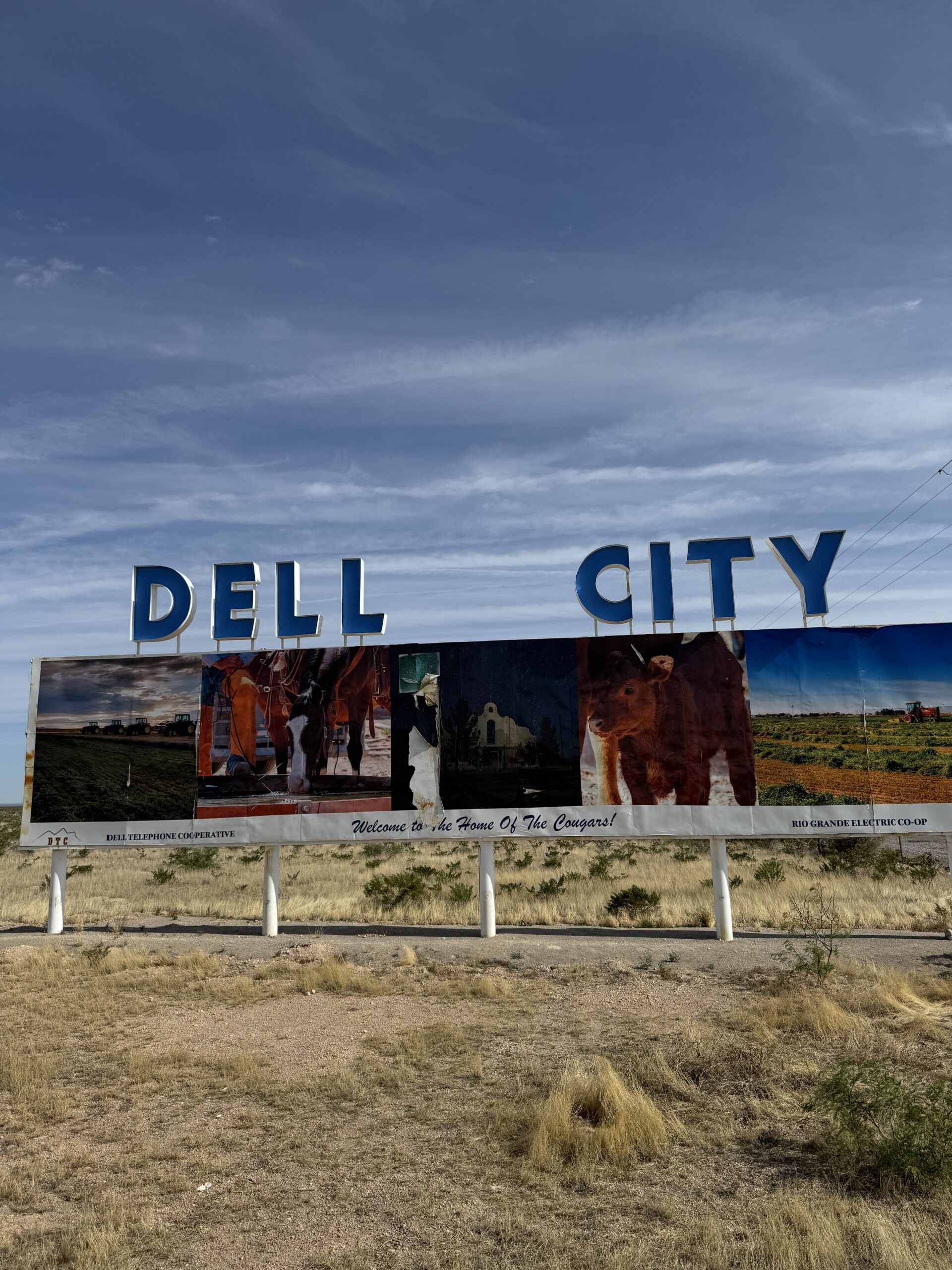
Starting outside of Dell City, Texas, the route remains flat and easy for nearly 50 miles. At that point, the Broke-Off Wilderness Study and the Guadalupe Ranger District of the Lincoln National Forest begin to influence the route, and some climbing enters the scene.
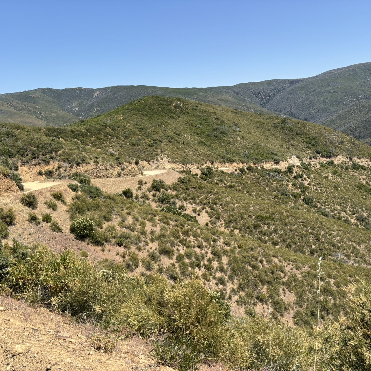
Passing through El Paso Gap, the route utilizes Queen Highway, a highway in name only, as it sees very little traffic, to reach the high ridge extending north from Guadalupe National Park. Views along the next 30 miles of Rim Road are spectacular. On clear days, it’s possible to see nearly 100 miles in all directions.
Descending Rim Road towards the small (population 24) village of Piñon, the terrain flattens out once again. The Piñon store offers everything a weary traveler needs, but it has limited hours, so be mindful of that. Please be on your best behavior while in Piñon, as the route depends on this critical resupplying point, and we’re guests in their community.
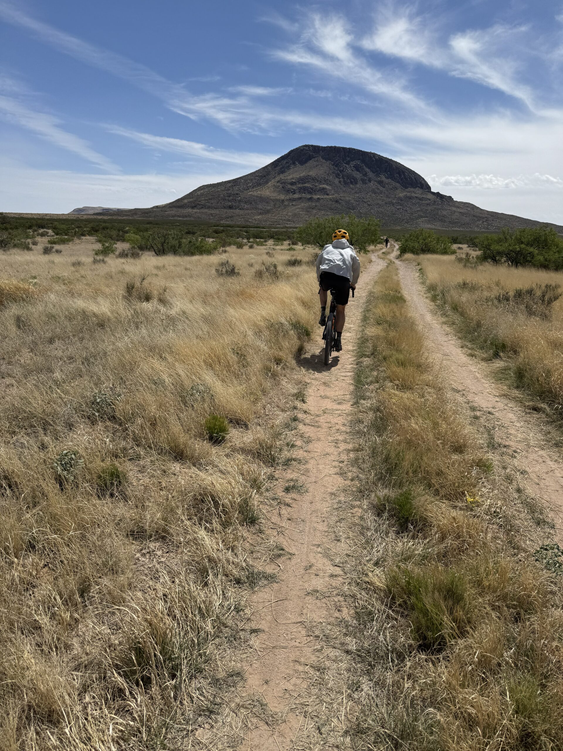
Rolling south from Piñon, the well-graded Cornucopia Road cuts through the grassland and remote ranches for 25 miles. Generally, this section is downhill and fairly quick. Around mile 175, the hills give way to the open grass-covered plains of Otero Mesa proper.
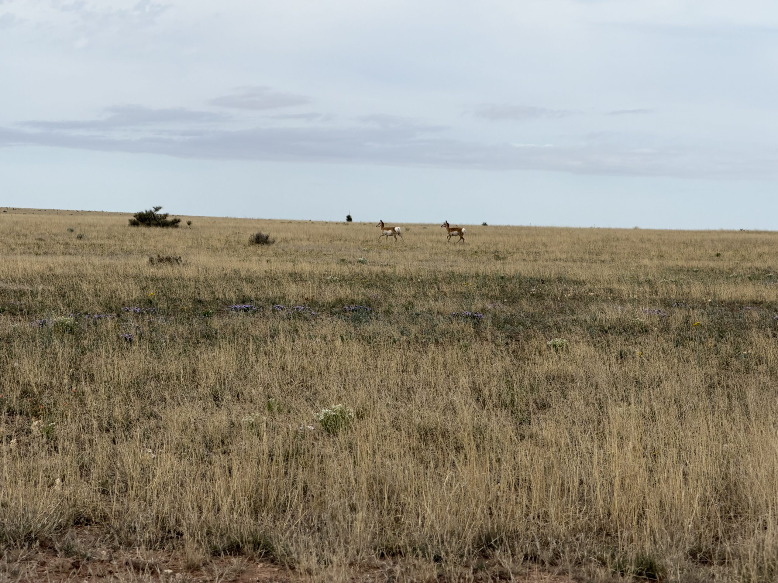
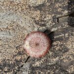
Pronghorn, badgers, deer, coyotes, and a bunch of birds and reptiles inhabit the grasslands surrounding the Cornudas Mountains. Around mile 196, the route deviates from the maintained gravel in favor of a two-track through the mountains. Riders who have done their research will find this section especially enjoyable! After a 15-mile section of rougher roads, the route rejoins smooth gravel and follows that back to Dell City.
- Paved: 12%
- Smooth Gravel: 70%
- Rough Gravel: 10%
- 4×4 Road: 8%
- Singletrack: 0%
Water
Don’t let the relatively smooth roads and lack of climbing lull you into a false sense of security! Wayfaring Stranger presents challenges via wind and water. It’s common for the wind to be blowing out here at the edge of the Basin and Range, and there’s little relief when it does. Due to the direction of travel and prevailing wind, it’s usually a crosswind, but that can still be tiresome. The other obstacle making life hard is the lack of water. The only reliable sources are found in Dell City and Piñon, leaving up to 140 miles with no water. I’ve marked potential water sources, but our scouting indicates they are often dry or of poor quality. Because of this, it’s best to carry two days’ worth of water, 6-8+ liters depending on weather and personal consumption. Aside from wind and water, the lack of services and extreme solitude can be overwhelming for those not used to such conditions. Self-reliance and problem-solving are key out here! All that said, the folks at Campfire Adventure Ranch have expressed that they do occasionally provide water drops for hikers in the region and, for a fee, may do so for cyclists as well.
Parking
Campfire Adventure Ranch
https://www.campfireadventureranch.com/
Phone: 507-782-1377
Bike Choice
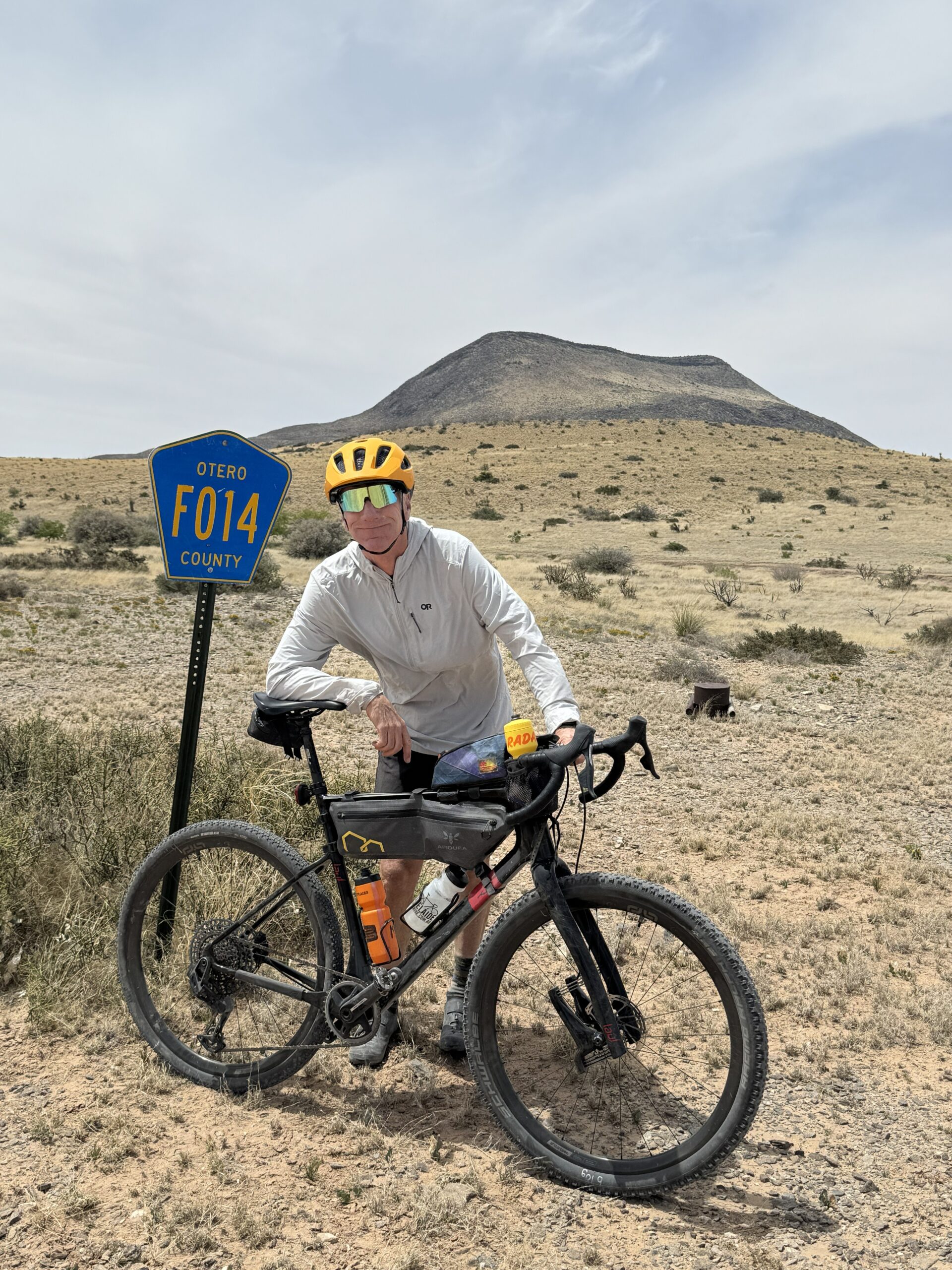
Bike choice on Otero Mesa is nearly as wide open as the land itself. Gravel bikes, with 50mm wide tires, are a great choice to cover ground quickly, but mountain bikes are a viable option as well. Drop bars or aero bars can be useful with long flat stretches and frequent winds. The ability to carry water and have a reliable bike is paramount.
Soundtrack
There are many versions of the folk song, Wayfaring Stranger, that inspired the route’s name but this was the one I listened to while scouting the route. Give it a listen as I think it’s tone and mood suit the open country you’ll experience out there.
Get the route on Ride With GPS.
Matt Mason created and stewards this route as well as the Monumental Loop and the Rollin’ and Tumblin’ route, also published on this site. Here is a little about Matt in his own words:
My route making started early in a small creek in Iowa. I was asked by my parents not to go in the nearby creek, but I knew every bend of the few miles that flowed through my neighborhood. More recently I created, then edited, shaped, and reshaped the Monumental Loop. That project taught me a lot about what riders are looking for in routes. Initially I focused on remoteness, natural beauty, and deprioritized the rider experience. Using feedback and years of continuing to use the route myself I shifted to a rider first perspective. The shift, at least on the Monumental Loop, means more spicy resupply options, mellow miles replacing sand pits, yet it still maintains much of the natural beauty. Rollin’ and Tumblin’ benefitted immediately from this new approach. Instead of making routes I’m focused on creating the space and opportunities for riders to have transformative experiences. Ideally folks come away from these routes knowing more about themselves and the region.
Additional thanks to the New Mexico Wilderness Alliance (https://nmwild.org/)
New Mexico Wilderness Alliance advocates for the wildest and most vulnerable places across the state. For nearly 30 years they’ve been speaking up on behalf of some of our most cherished natural landmarks. As part of that work they’ve been leading a lengthy process to secure protection for the fragile and unique grasslands on Otero Mesa. Earlier this spring they reached out to Matt, yes wilderness advocates and cyclists can work together, requesting a bikepacking route to raise awareness for the Mesa and the surrounding mountains. Wayfaring Stranger is a route born of our mutual desire to see Otero Mesa receive long term legal protection.
Matt has offered to be available to answer questions if you are planning a trip on this route. Please also get in touch with any updates on route conditions that may be relevant to other riders.
Please submit your questions and comments on the route via the contact form below.
This route traverses the traditional lands of the Mescalero Apache peoples.