Route Overview
Region
Miles
Days Out
Recommended Tire Size
Season
Elevation Gain
Difficulty
6/10 Technical
Primary Surface(s)

Route Map
Route Details
Durbin – Green Bank – Mower Tract – Gaudineer Knob
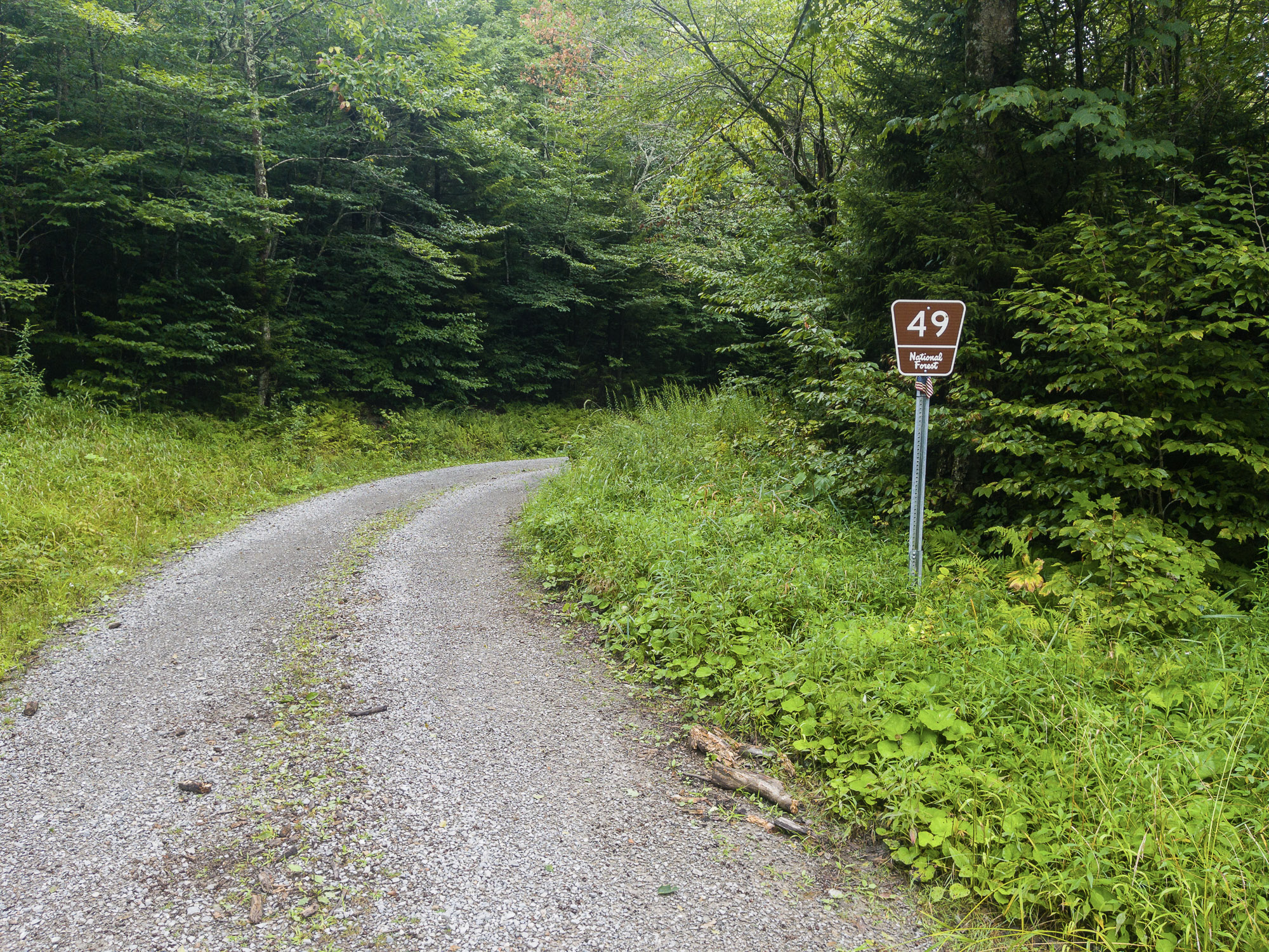
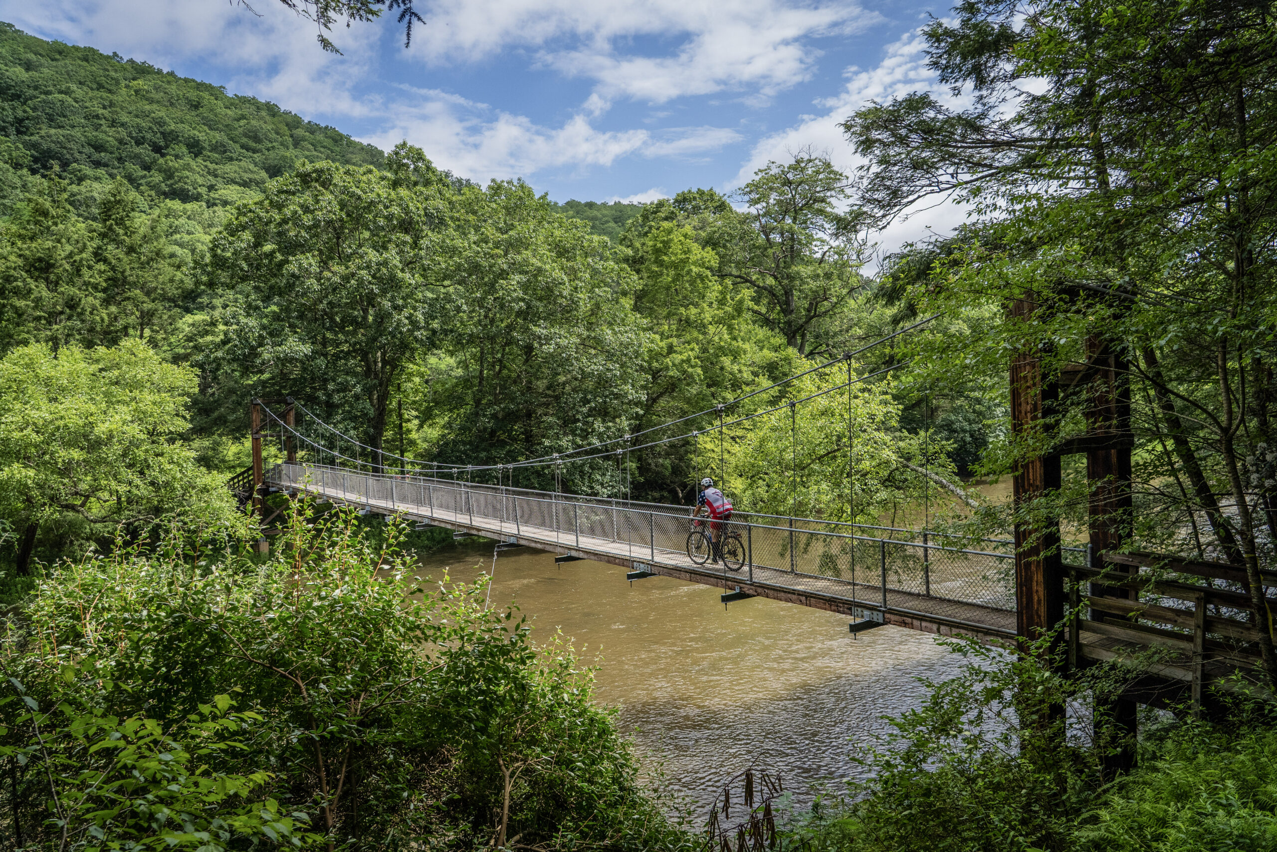
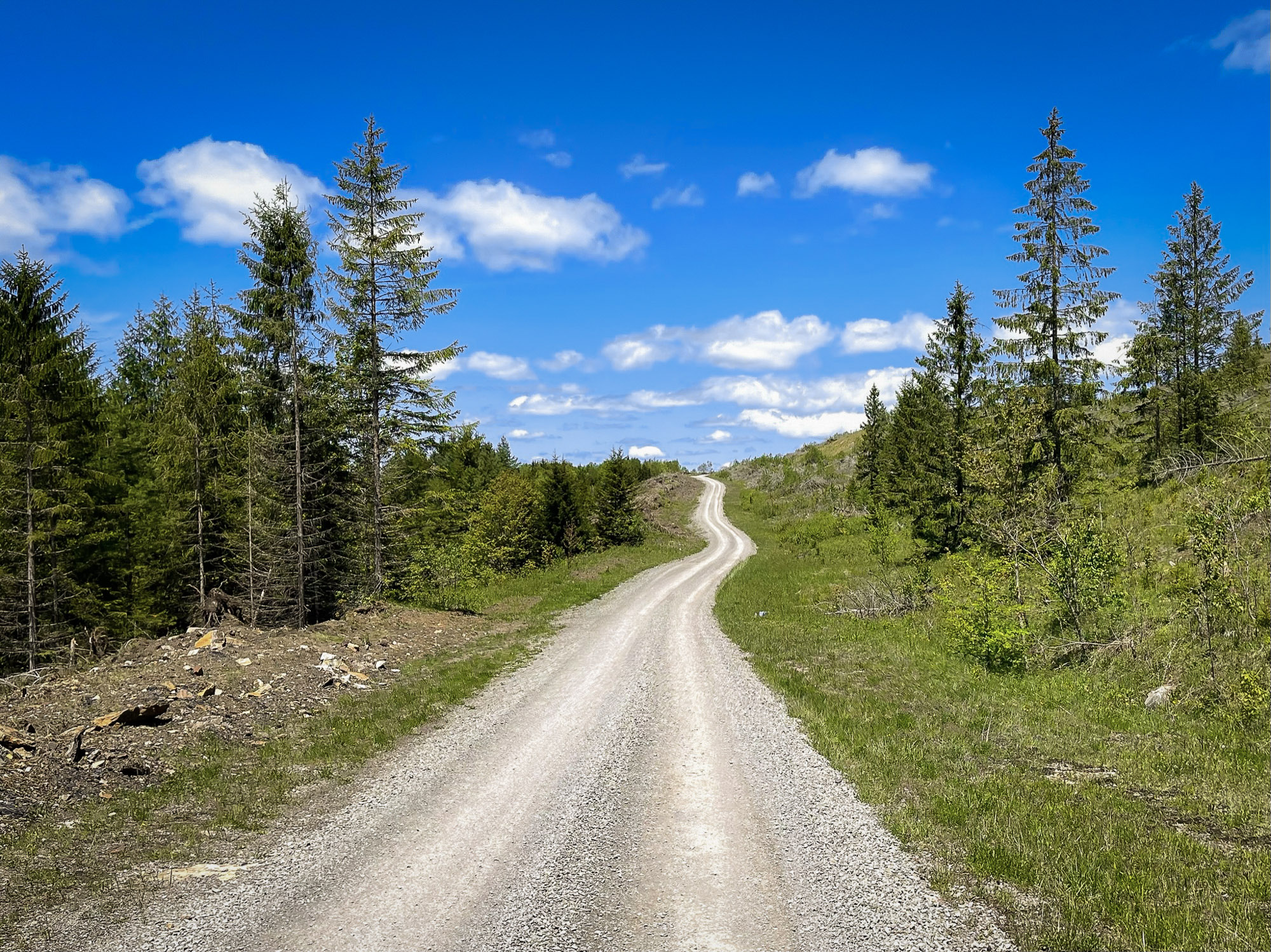
For riders who love sustained climbing on remote gravel roads and rugged forest tracks, this demanding bikepacking loop from Durbin explores both sides of the upper Greenbrier River valley in the west-central Monongahela National Forest. With more than 80% unpaved surfaces and a succession of long backcountry ridgelines, this is an effort earned through steady determination.
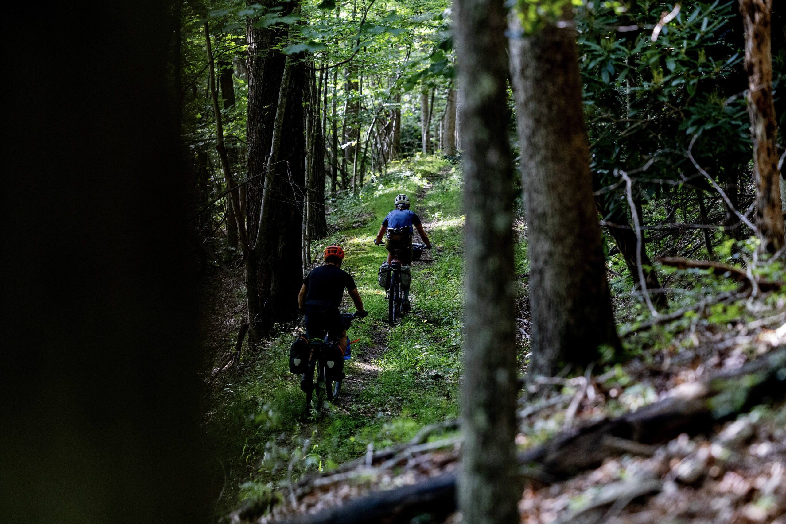
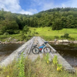
Highlights include climbing the historic turnpike toward Buffalo Mountain near Camp Allegheny, along with short sections of singletrack and reclaimed forest road that add texture to the ride. Notably, the final ¾ mile of descent to Shavers Fork near mile 71 features a rocky creek crossing and grassy doubletrack scattered with branches and occasional downed trees. Expect 15–20 minutes of hike-a-bike to reach an old bridge; from there, the route becomes fully rideable again.
Back Allegheny Mountain and Shavers Fork Mountain form a massive structural ridge system framing much of this route, divided only by Rt. 250. Their footprint lies almost entirely within Monongahela National Forest and is characterized by extensive red spruce stands, high-elevation flora and fauna, and environmentally sensitive ecosystems unique to these upper Allegheny highlands.
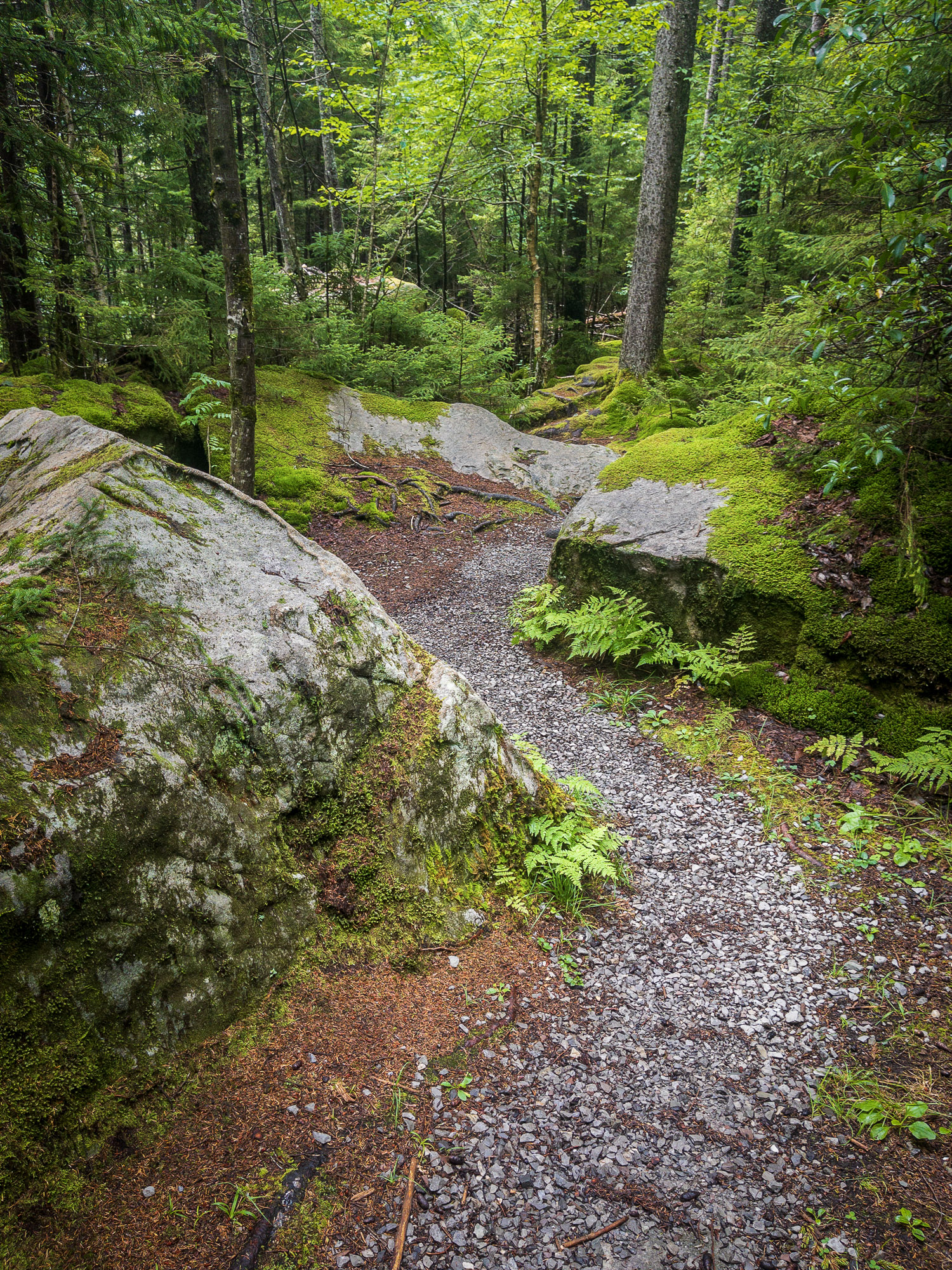
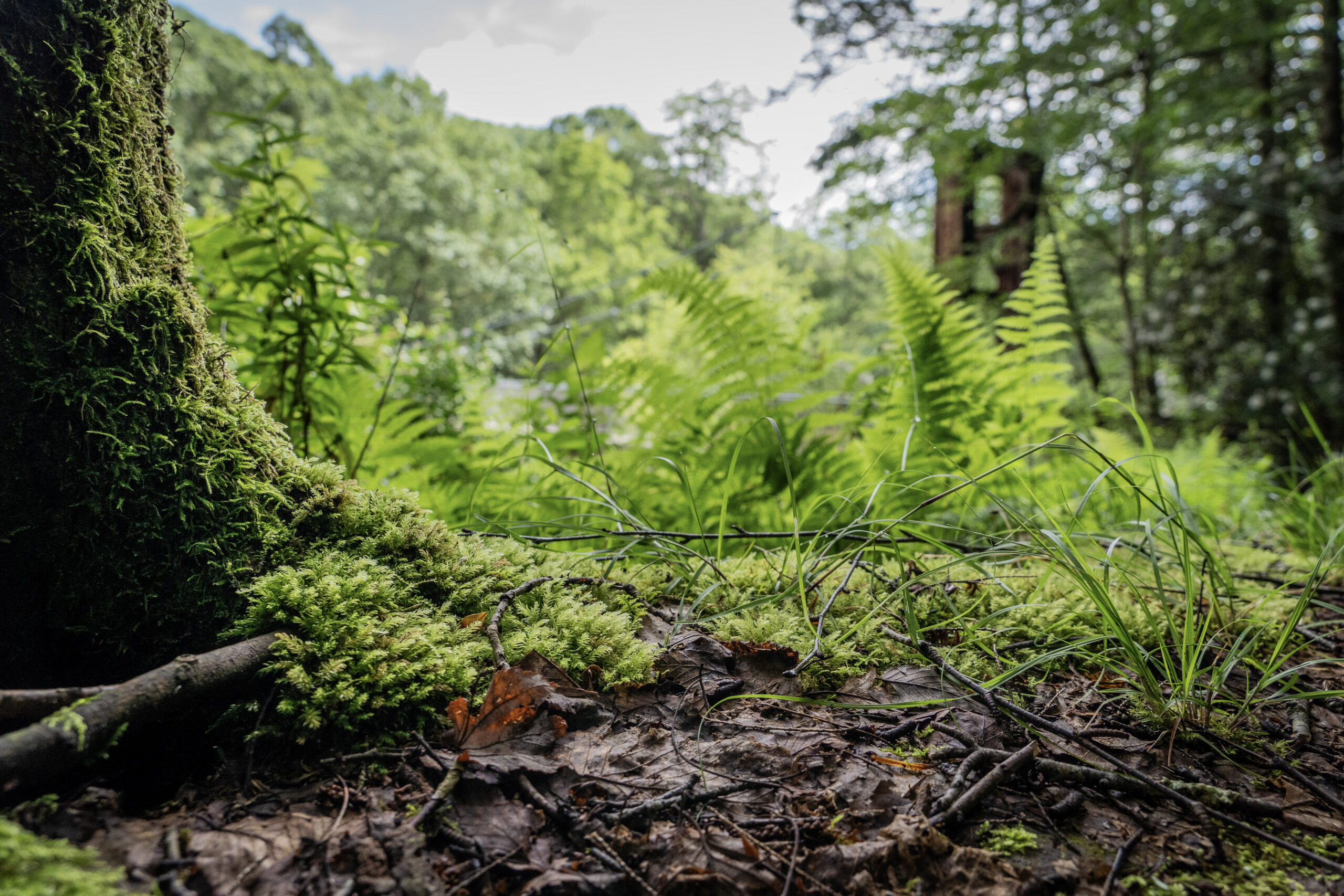
Gaudineer Knob rises within moss-draped spruce forests near the boundary of Randolph and Pocahontas Counties. Once home to a fire lookout tower, the site honors Donald H. Gaudineer, an early Monongahela National Forest ranger who led major reforestation efforts, road construction, and wildfire protection initiatives in the early 20th century. He tragically died in 1936 while attempting to rescue his children from a house fire. Today, the area stands as both an ecological preserve and a tribute to early forest stewardship.
- Paved: 19%
- Gravel (Smooth & Rough combined): 75%
- 4×4 Road: 5%
- Singletrack: 1%
- The only resupply is approximately 20 miles in at Trent’s General Store near Green Bank.
- Refer to route POIs and this Resupply Spreadsheet for more information on camping and re-supply along the route.
- Cell service is minimal within the National Radio Quiet Zone, though limited coverage may appear on higher western ridges near the Mower Basin. Electronics must be powered down while passing through the Green Bank Observatory area.
- Riders seeking a longer experience can link into the western 50+ miles of Middle Mountain Mower – Route 5.5 (161 miles total), which overlaps this route in the opposite direction.
Find more information to prepare for your Mon Forest adventure on the main network page.
We acknowledge that the lands now known as the Monongahela National Forest are the ancestral homelands of Indigenous peoples, including the Haudenosaunee (Seneca), Shawnee, Lenape (Delaware), and Myaamia, who stewarded these mountains and rivers for generations. We honor their enduring connection to this land and recognize that their histories and cultures continue today, and we offer this acknowledgment with respect and gratitude.
Please be sure to get in touch with any updates on route conditions that may be relevant to other riders.
Please submit your questions and comments on the route via the contact form below.
The project was developed collaboratively with regional partners including:
- Village to Village Trails (V2V) – route design and mapping led by regional route builder David Landis with Geoff Patterson, Jonny Ramirez, and numerous local riders providing route design support, feedback and documentation.
- MountainRides WV – local cycling advocacy and community outreach led by GRUSK race director Travis Olson
- Bikepacking Roots – national nonprofit supporting route stewardship and bikepacking access led by Noelle Battle
Route photography contributed by Jonny Ramirez, Wild Hare Media, David Landis, and Geoff Patterson.

This route is a part of the Mon Forest Gravel & Bikepacking Route Network, a project of the Mon Forest Towns Partnership created by Village to Village Trails, Mountain Rides WV, and Bikepacking Roots.