Route Overview
Region
Miles
Days Out
Recommended Tire Size
Season
Elevation Gain
Difficulty
5.5/10 Technical
Primary Surface(s)


Route Map
Route Details
The Mon Circuit 440 is a more focused version of the full Mon Forest circuit, linking 8 of the 12 Mon Forest Towns through the core of the region. At 441 miles with 36,810 feet of climbing, it delivers a slightly lower climbing intensity than the full route (vs. 54,605’ over 594 miles), while maintaining the rugged, backcountry character that defines riding in the Mon.
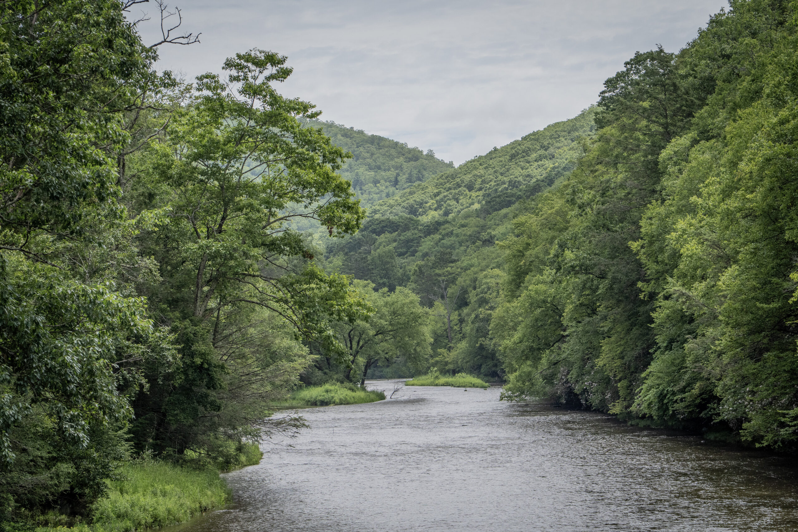
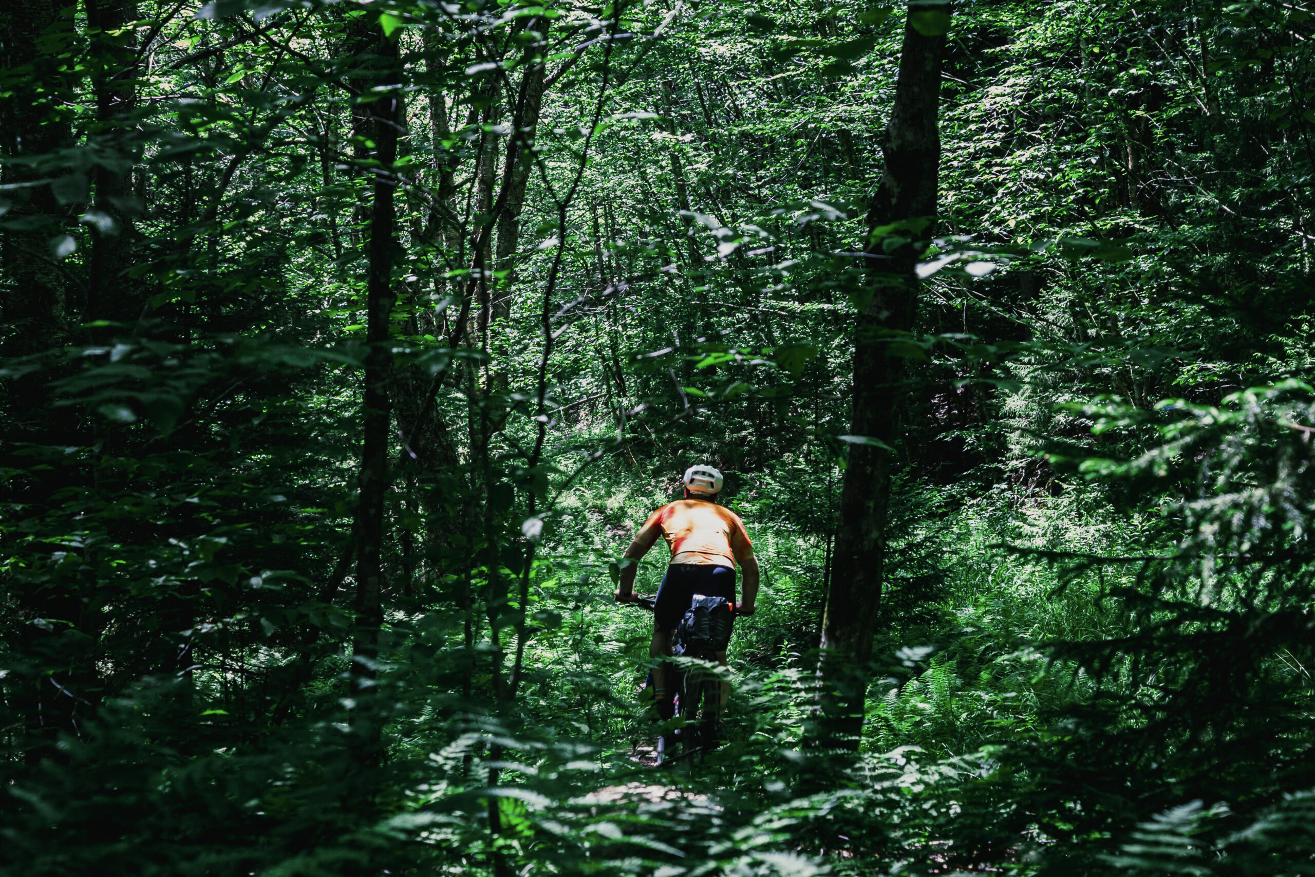
Characterized by long ridgeline gravel roads, punchy climbs through historic gaps, and extended stretches of remote forest, the route stays entirely west of the Eastern Continental Divide. It bypasses the eastern high points and outlying regions—Cowen, Spruce Knob, Seneca Rocks, Franklin, Dolly Sods, and Petersburg—in favor of a more cohesive loop centered on the Greenbrier River Valley, Cranberry Wilderness, Middle Mountain, and Canaan Valley, and surrounding highlands.
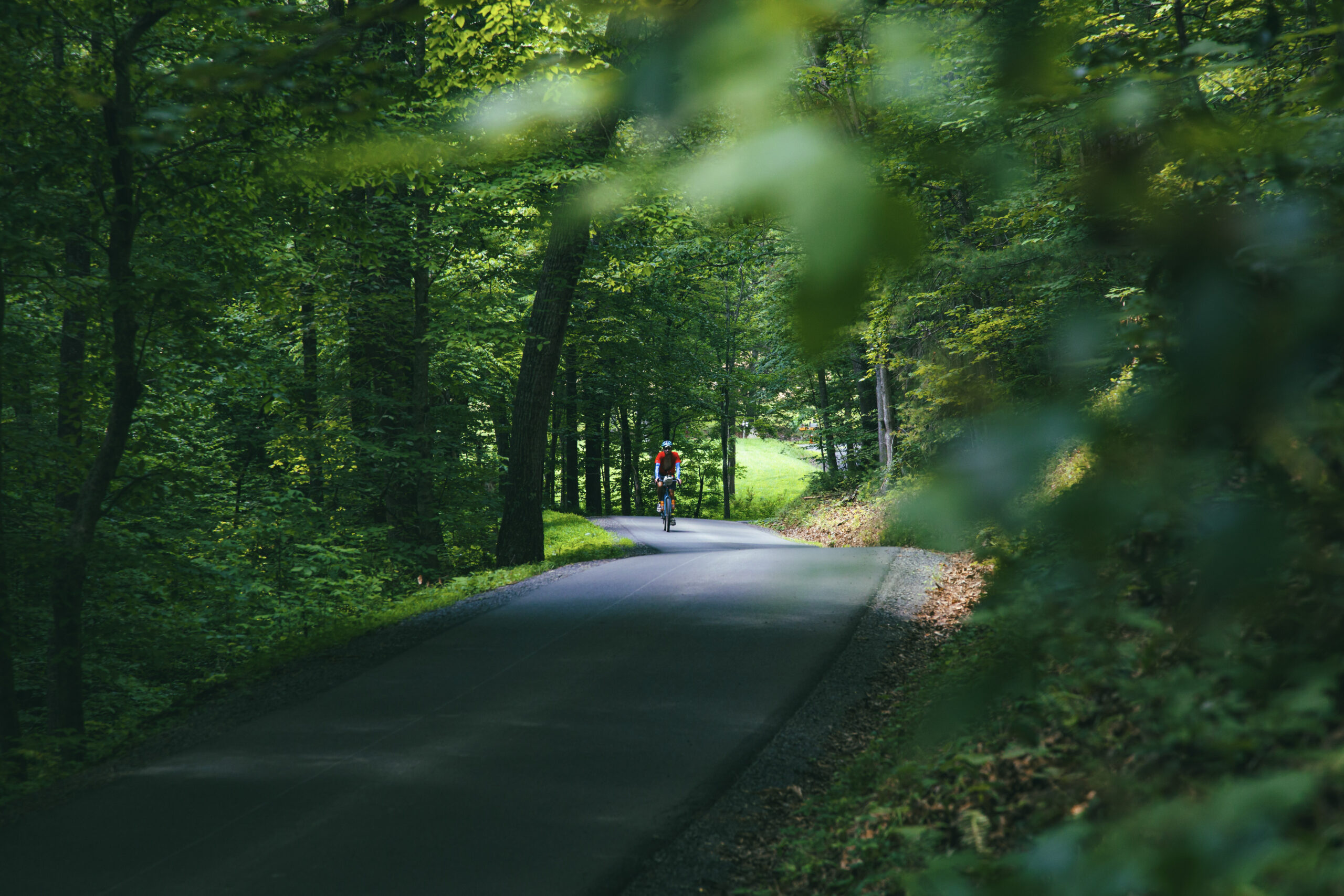
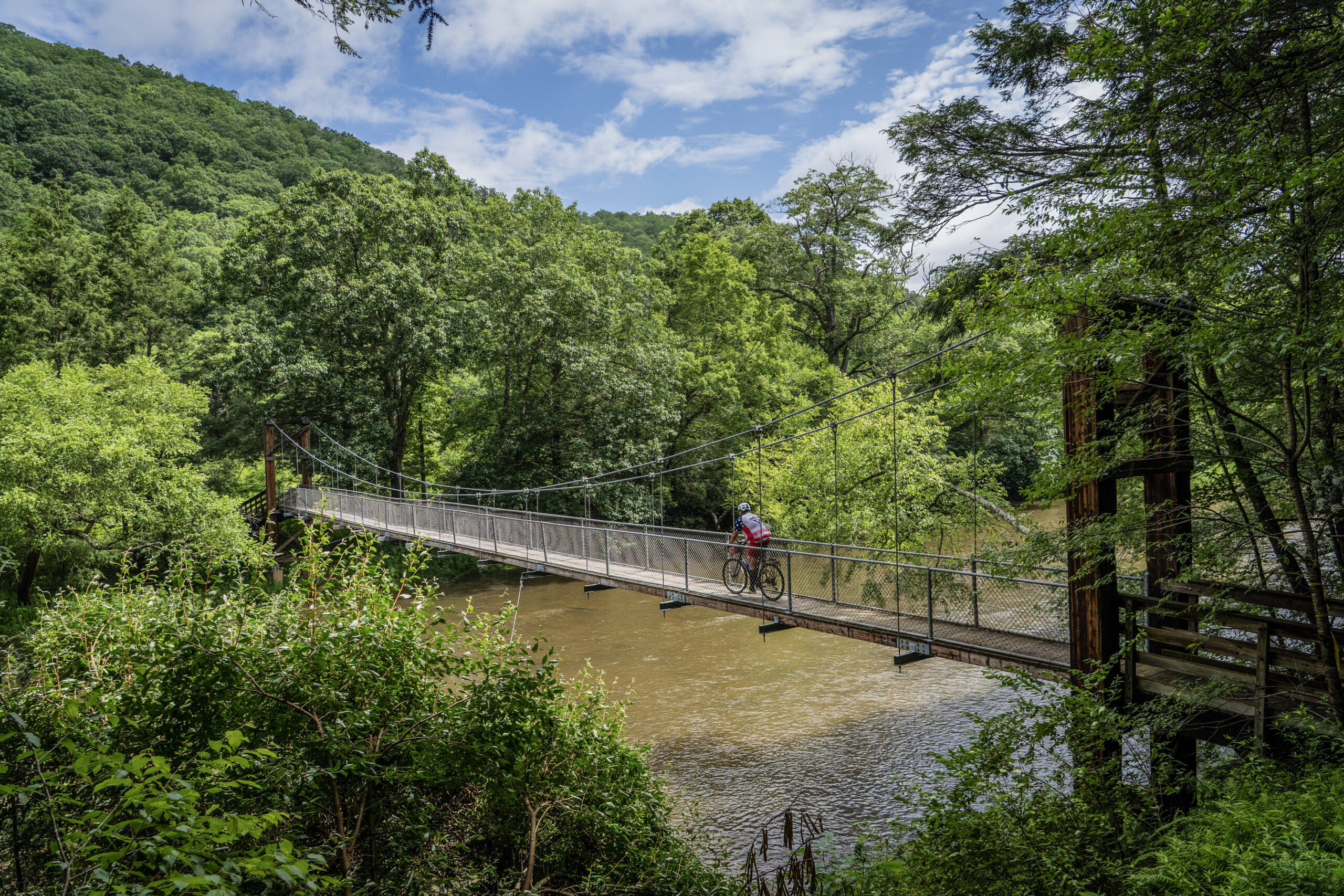
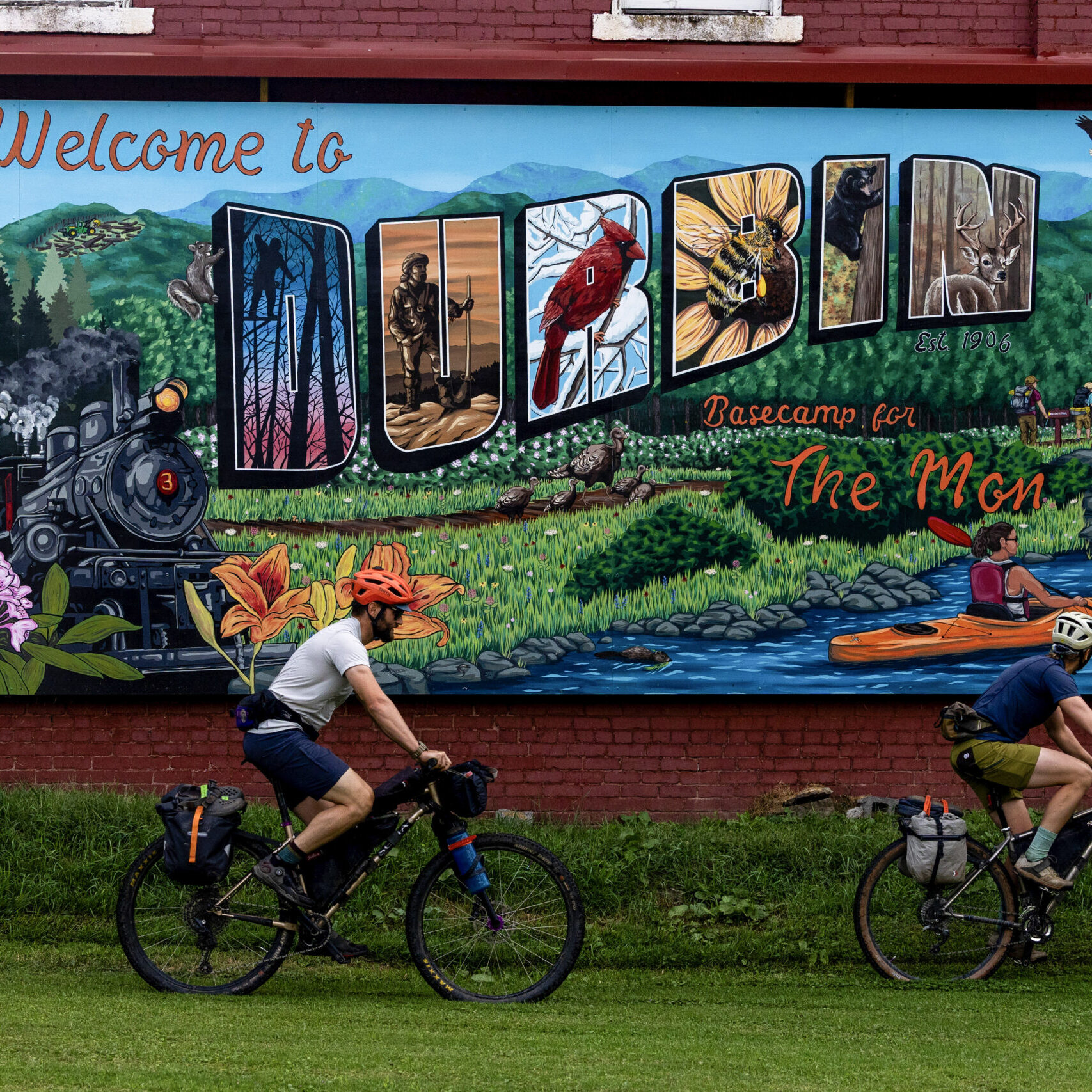
Railroad and timber heritage are ever-present, with former rail grades tracing quiet valley corridors and towns like Richwood, Durbin, and Marlinton reflecting the region’s industrial past. Expect deep backcountry immersion, cool mountain air, abundant water, and frequent opportunities for dispersed camping, along with resupply and lodging in each Mon Forest Town along the way.
Beginning in Elkins, the route follows a streamlined version of the southern and central Mon, linking ridgelines and river valleys into a continuous loop that prioritizes unpaved riding and minimizes paved connectors—ideal for riders seeking the essence of the Mon in a shorter, more gravel-focused format.
- Paved: 34%
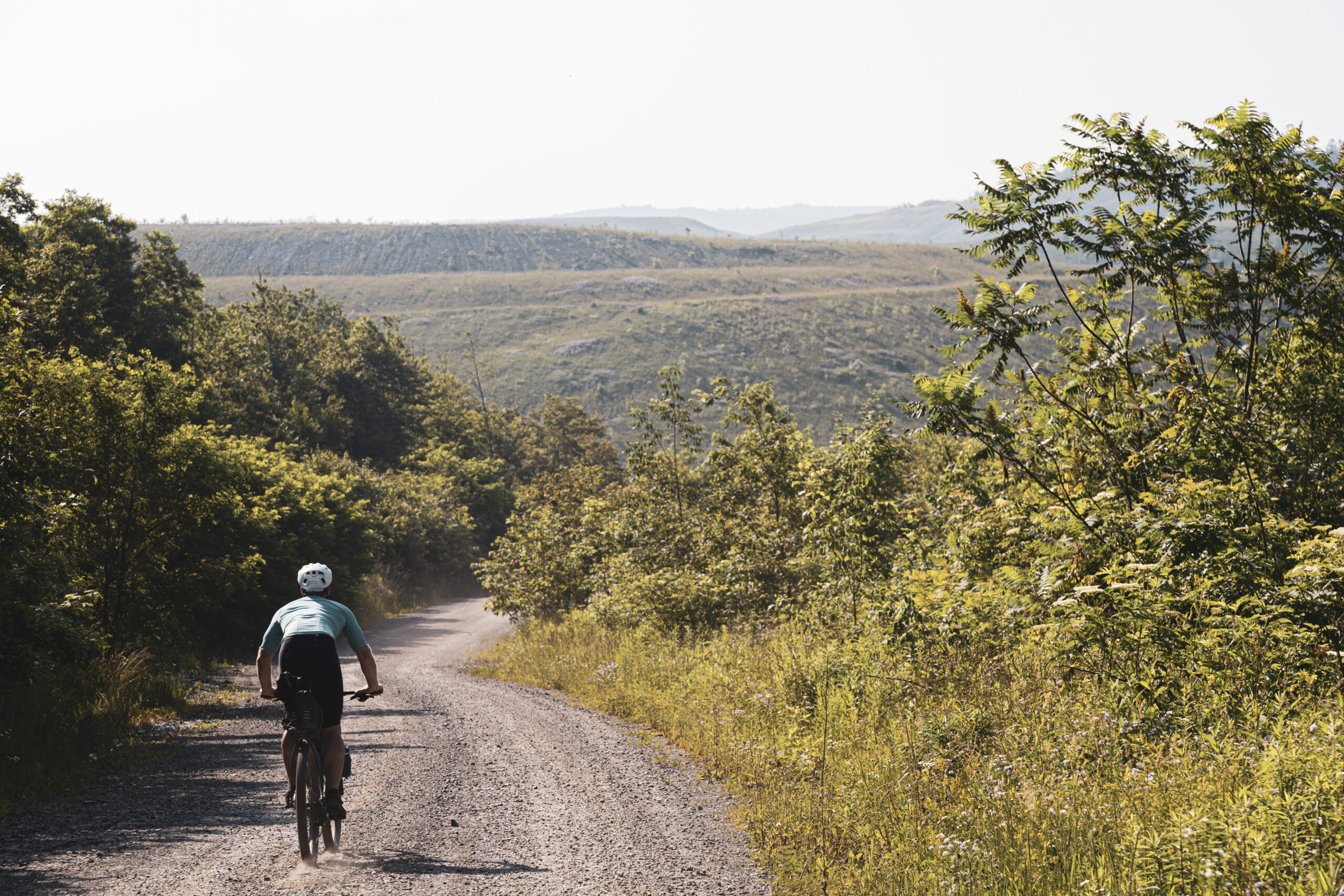
- Gravel (Smooth & Rough combined): 56%
- 4×4 Road: 7%
- Singletrack: 3%
- High Elevation Conditions: Many sections exceed 4,000 feet, where temperatures are significantly cooler than in the valleys below. In shoulder seasons, freezing temperatures and snow are possible.
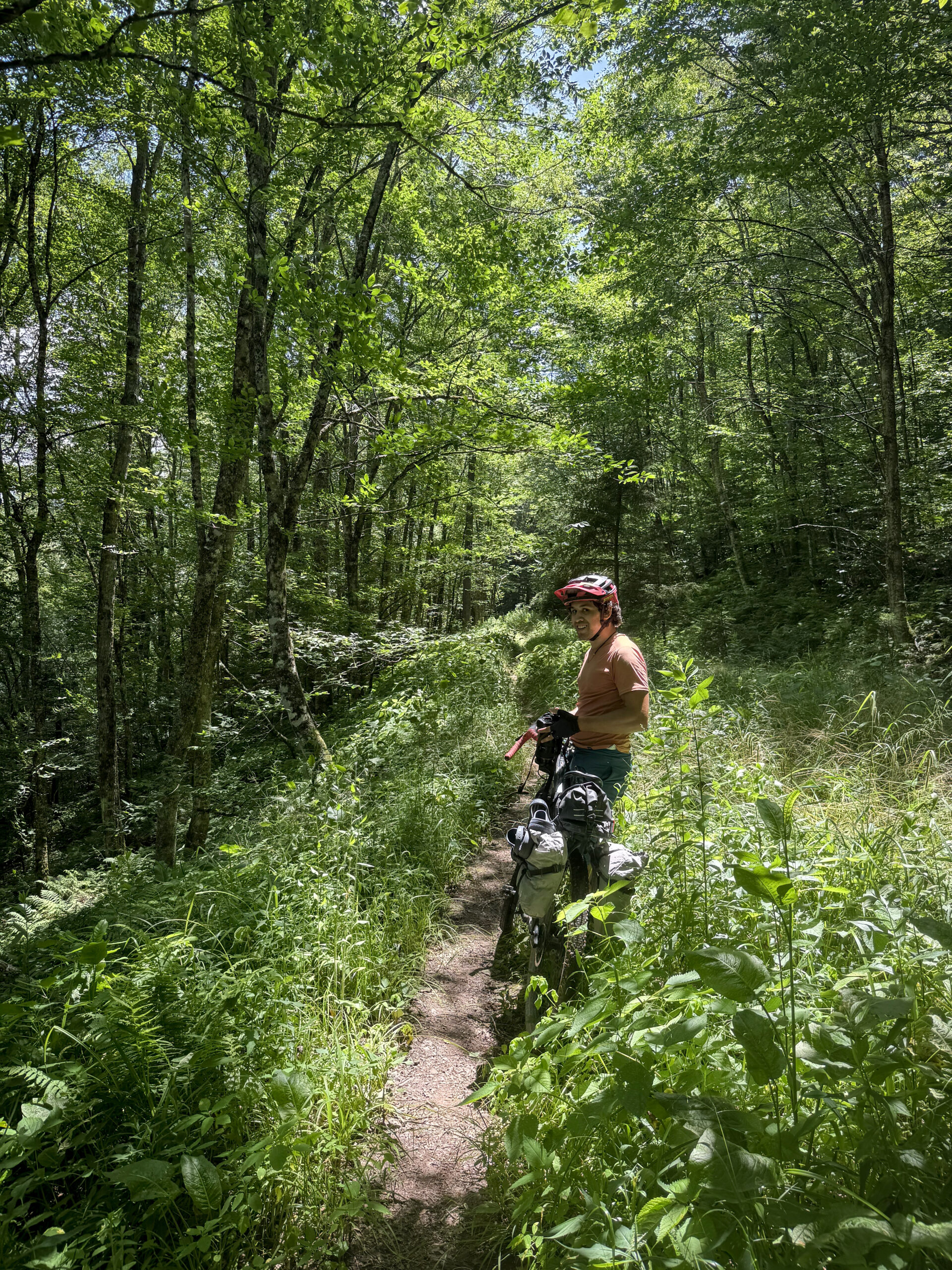
- Route Surfaces: Gravel roads form the backbone of the route, with shorter segments of singletrack (green) and 4×4 doubletrack (orange). Route colors also indicate rail trails (blue) and limited busier paved roads (dark gray).
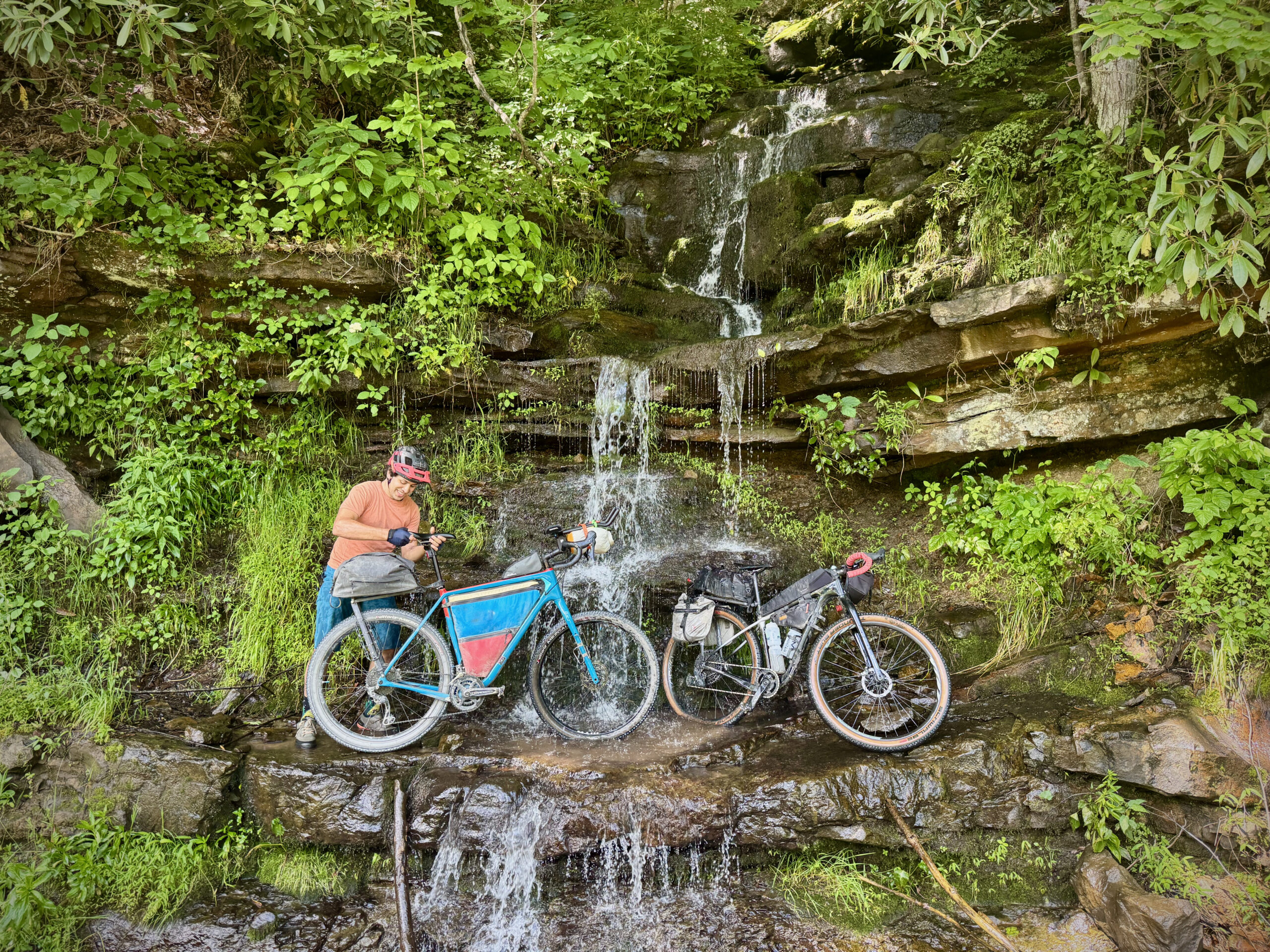
- Climbing Gearing & Bike Setup: Steep, sustained climbs are common, with grades often exceeding 10%. Low, MTB-style gearing is strongly recommended. A hardtail or similarly low-geared gravel setup (Tour Divide-style) is ideal.
- Tire Choice: Most riders will be happiest on 50mm (2.0–2.2”) tires. A 40mm setup is possible but will likely require more hike-a-bike in rougher sections.
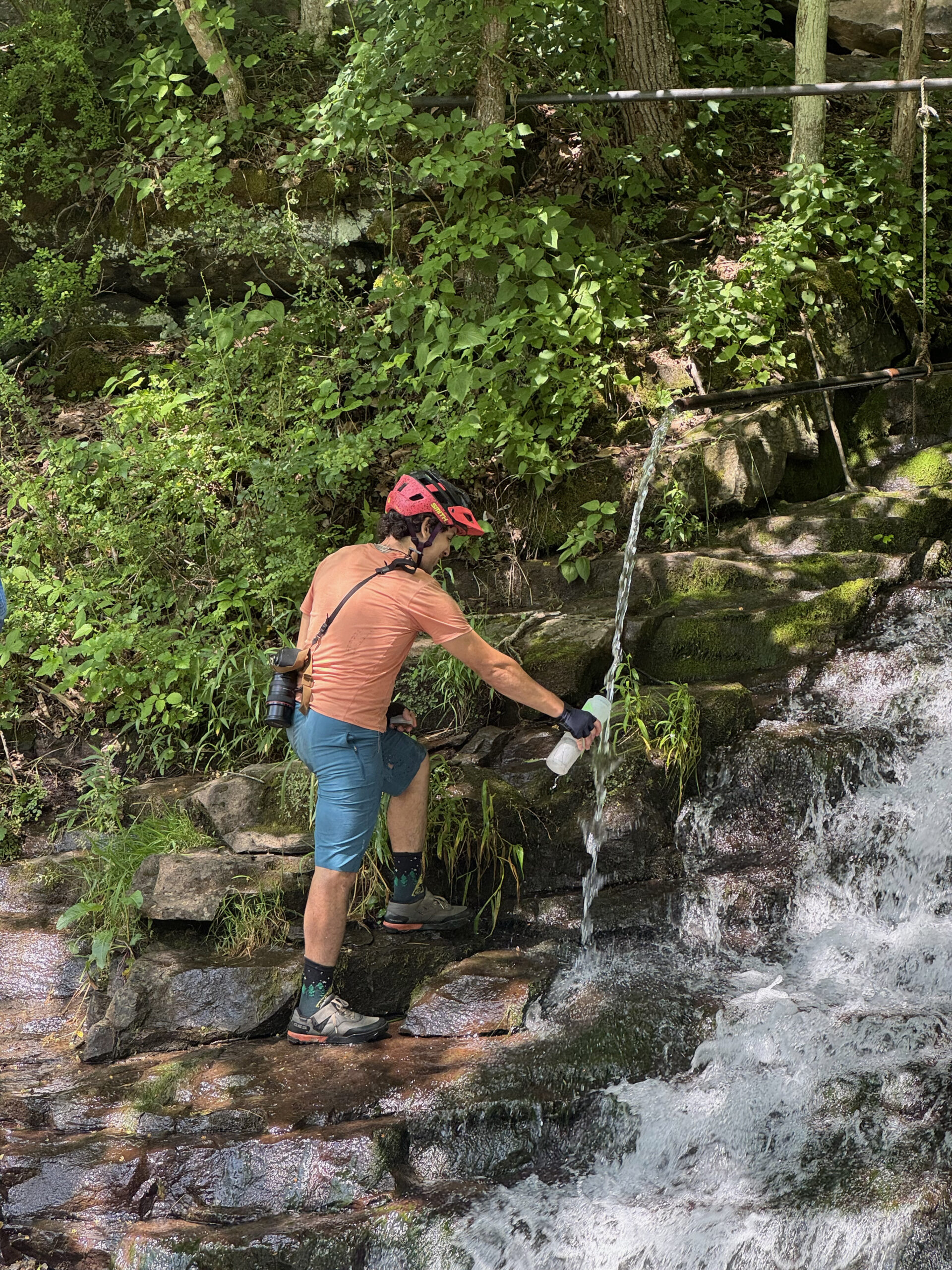
- Water: Natural water sources are plentiful, including streams and roadside springs. Check route POIs and carry a reliable filter.
- Camping & Lodging: Dispersed camping is widely available, along with campgrounds, inns, and B&Bs in and near towns. See POIs and resupply notes for spacing.
- Road Awareness: While this version reduces paved connectors, some busier road segments remain. Ride defensively—wear bright colors and consider lights and/or radar for visibility and safety.
- Please note that bicycles are not permitted on trails in Dolly Sods Wilderness, Bear Rocks Preserve, or Dobbins Slashing Preserve.
Full Circuit Option (600): or riders seeking the complete Mon Forest experience, the Mon Circuit 600 expands the route to 594 miles, connecting all 12 Mon Forest Towns and incorporating the eastern highlands, including Spruce Knob, Seneca Rocks, and the Potomac headwaters. This version features more climbing (54,605’) and a higher proportion of paved connectors (54% unpaved vs. ~66% on the 440), offering a broader but more demanding tour of the region.
Find more information to prepare for your Mon Forest adventure on the main network page.
We acknowledge that the lands now known as the Monongahela National Forest are the ancestral homelands of Indigenous peoples, including the Haudenosaunee (Seneca), Shawnee, Lenape (Delaware), and Myaamia, who stewarded these mountains and rivers for generations. We honor their enduring connection to this land and recognize that their histories and cultures continue today, and we offer this acknowledgment with respect and gratitude.
Please be sure to get in touch with any updates on route conditions that may be relevant to other riders.
Please submit your questions and comments on the route via the contact form below.
The project was developed collaboratively with regional partners including:
- Village to Village Trails (V2V) – route design and mapping led by regional route builder David Landis with Geoff Patterson, Jonny Ramirez, and numerous local riders providing route design support, feedback and documentation.
- MountainRides WV – local cycling advocacy and community outreach led by GRUSK race director Travis Olson
- Bikepacking Roots – national nonprofit supporting route stewardship and bikepacking access led by Noelle Battle
Route photography contributed by Jonny Ramirez, Wild Hare Media, David Landis, and Geoff Patterson.

This route is a part of the Mon Forest Gravel & Bikepacking Route Network, a project of the Mon Forest Towns Partnership created by Village to Village Trails, Mountain Rides WV, and Bikepacking Roots.