Route Overview
Region
Miles
Days Out
Recommended Tire Size
Season
Elevation Gain
Difficulty
5.5/10 Technical
Primary Surface(s)


Route Map
Route Details
Richwood – Blue Bend – Marlinton – Cranberry Wilderness
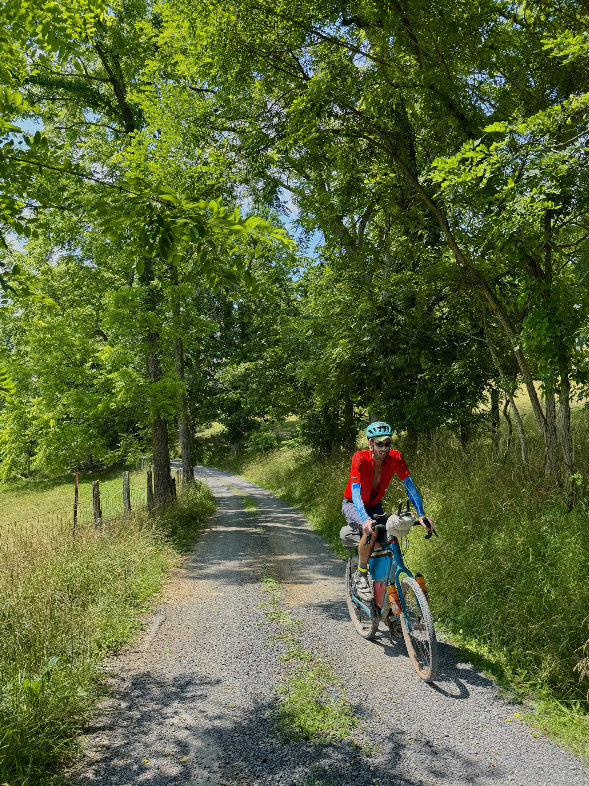
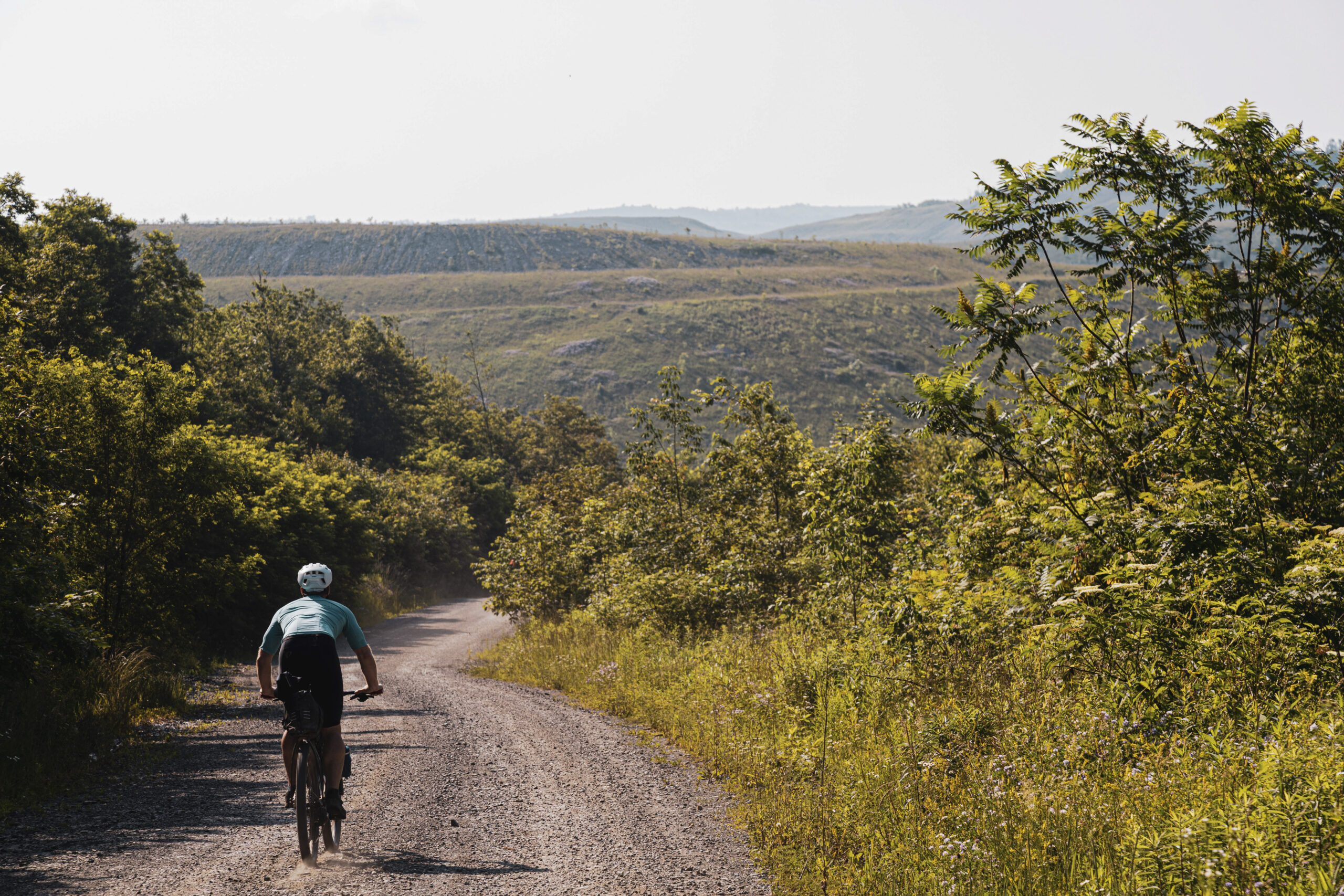
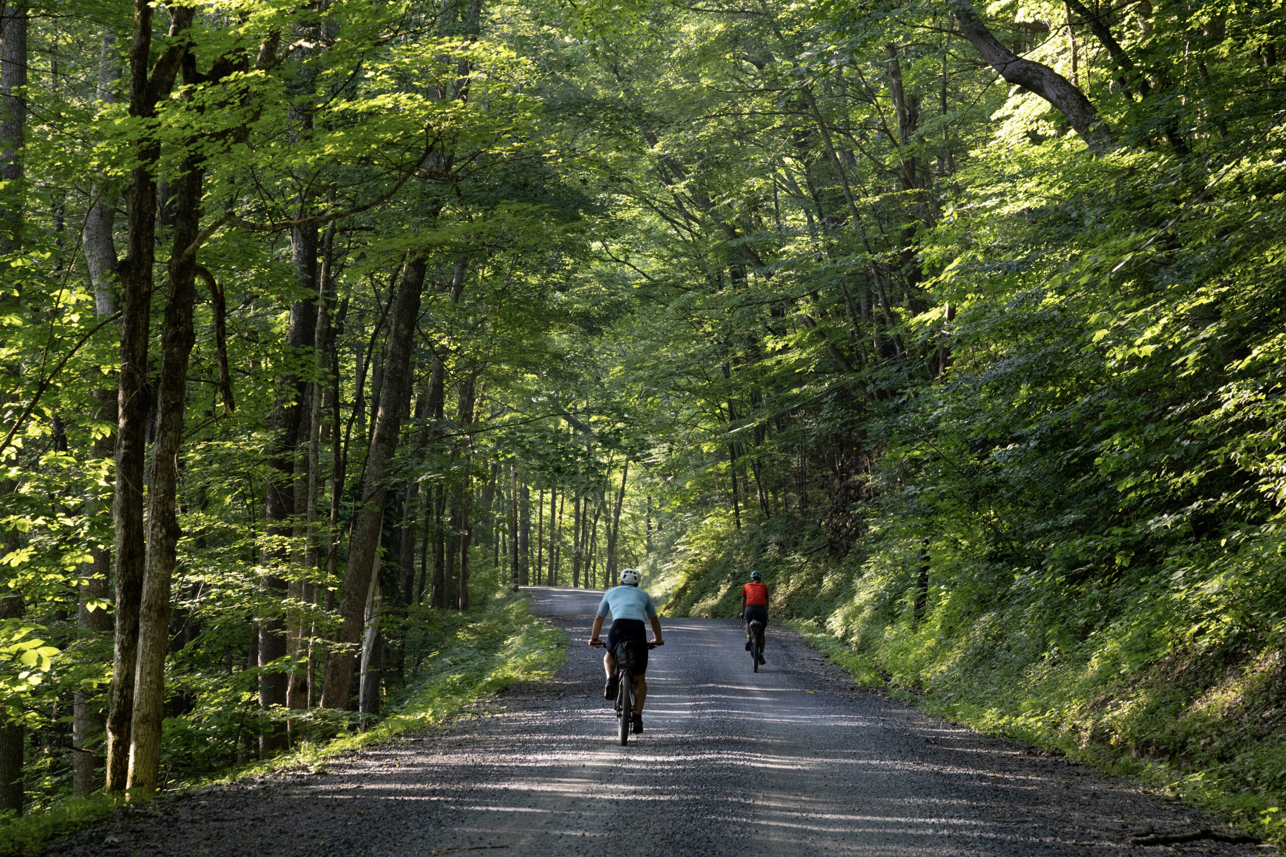
This bikepacking circuit weaves together lesser-traveled forest roads through the Cranberry River Corridor and surrounding public lands for an expansive southern Mon tour. Crossing the Greenbrier River Trail corridor and linking state parks, wildlife areas, and high-elevation plateaus, the ride blends remote forest road solitude with welcoming Appalachian wilderness towns.
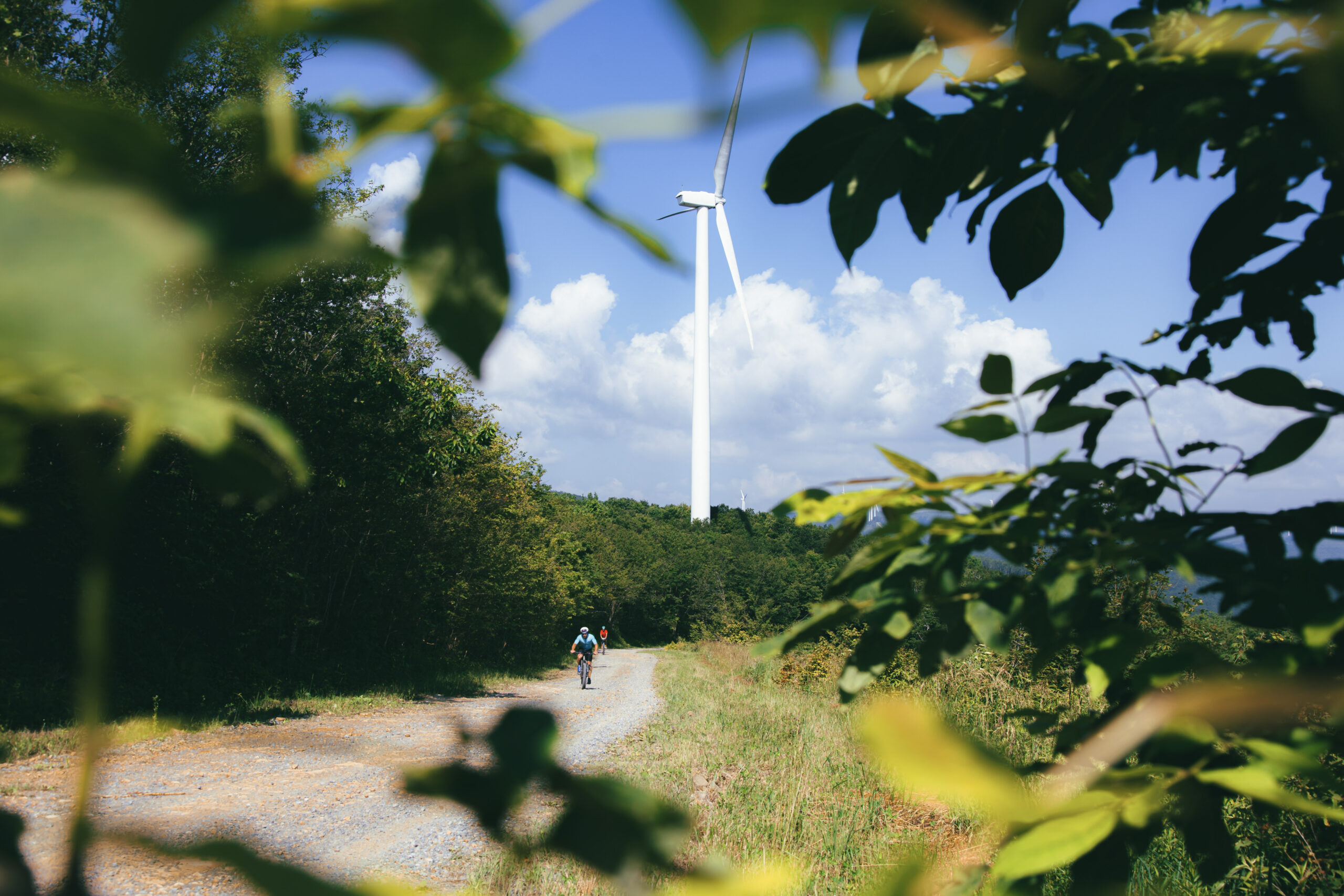
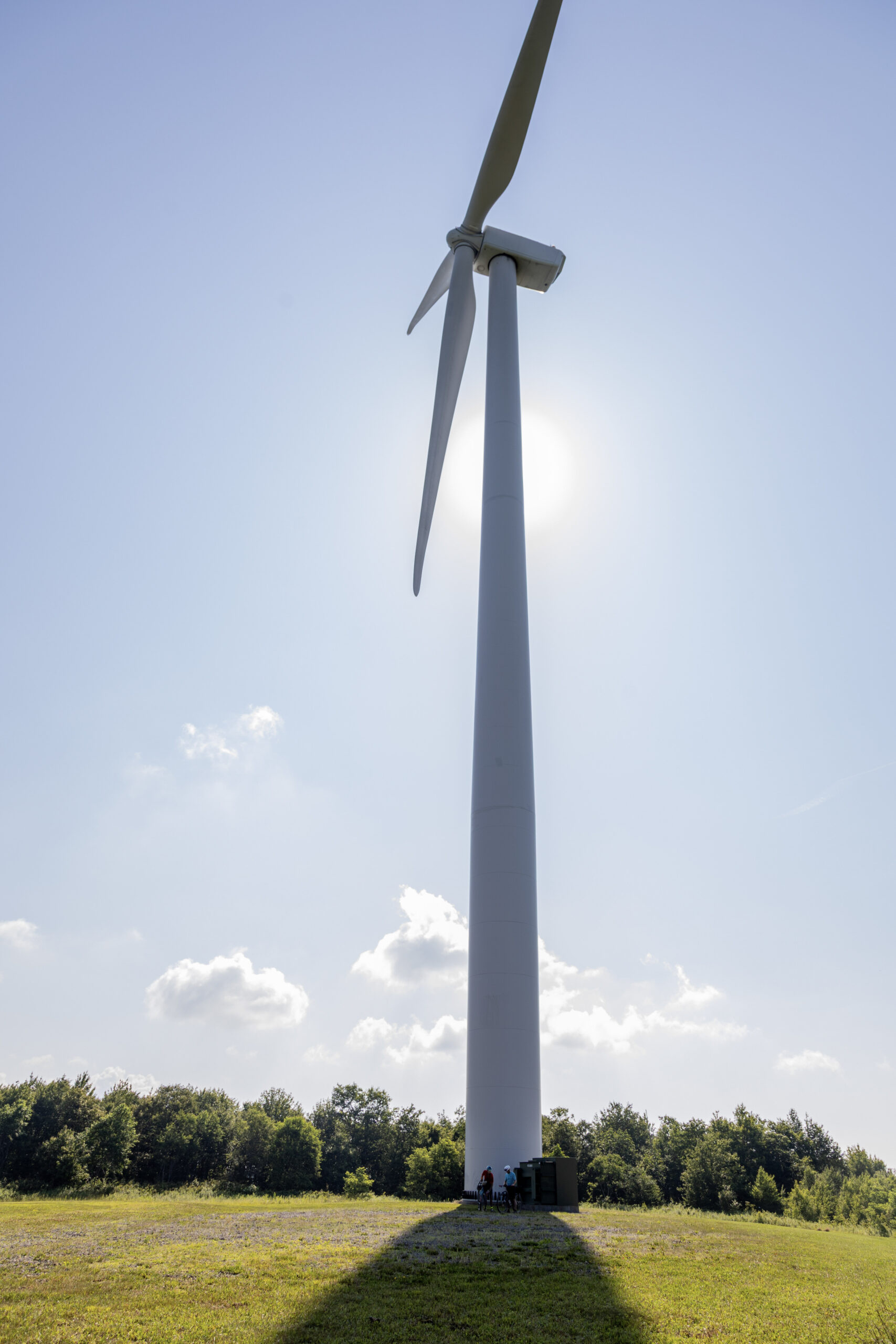
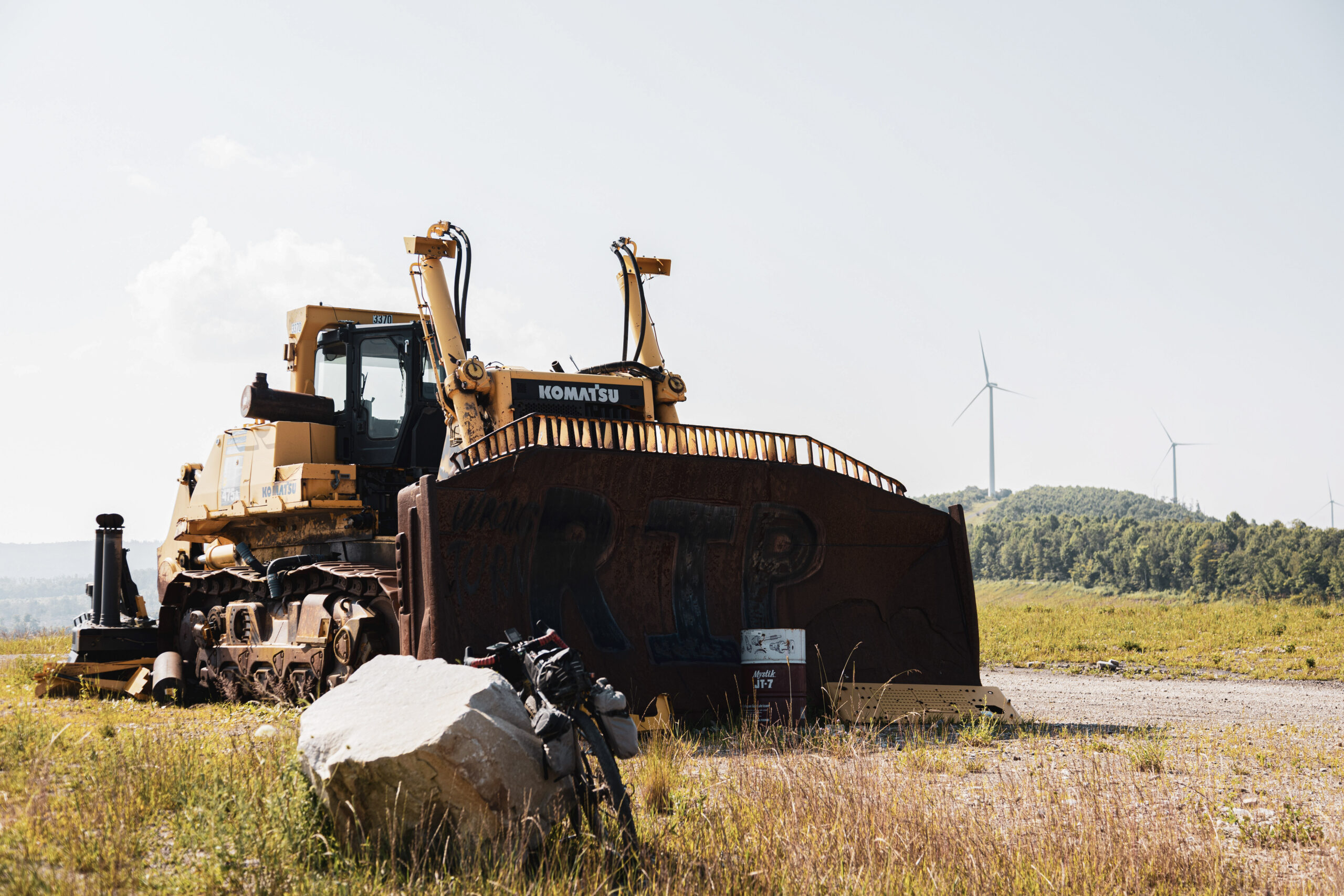
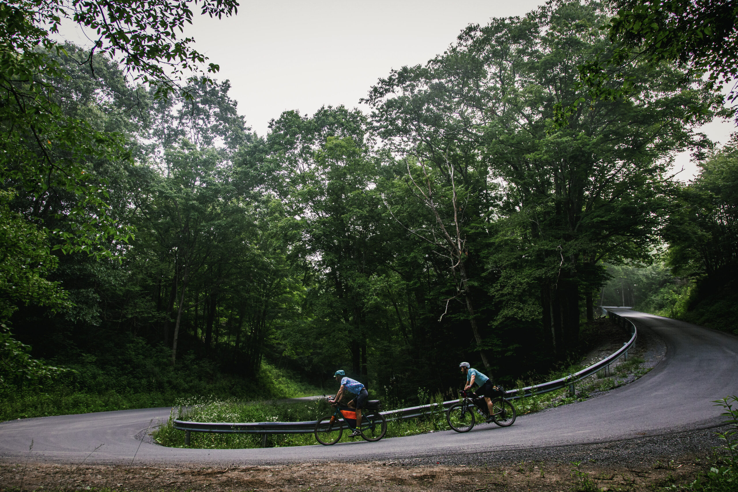
Early miles climb steadily from Richwood into the wind-swept highlands near Manning Knob and Cold Mountain, where open ridgelines and distant wind turbine views create a feeling of scale rare in the central Appalachians. Descending toward the river brings a change in rhythm, with smooth miles along the Greenbrier River Trail and opportunities for a cooling swim — especially near the clear pools at Blue Bend Recreation Area, a beloved riverside oasis for campers and anglers. Farther east, quiet state forest roads contour the slopes of Beaver Lick Mountain before reaching Watoga State Park, where the Ann Bailey Fire Tower stands as a tribute to early forest stewardship and frontier resilience.
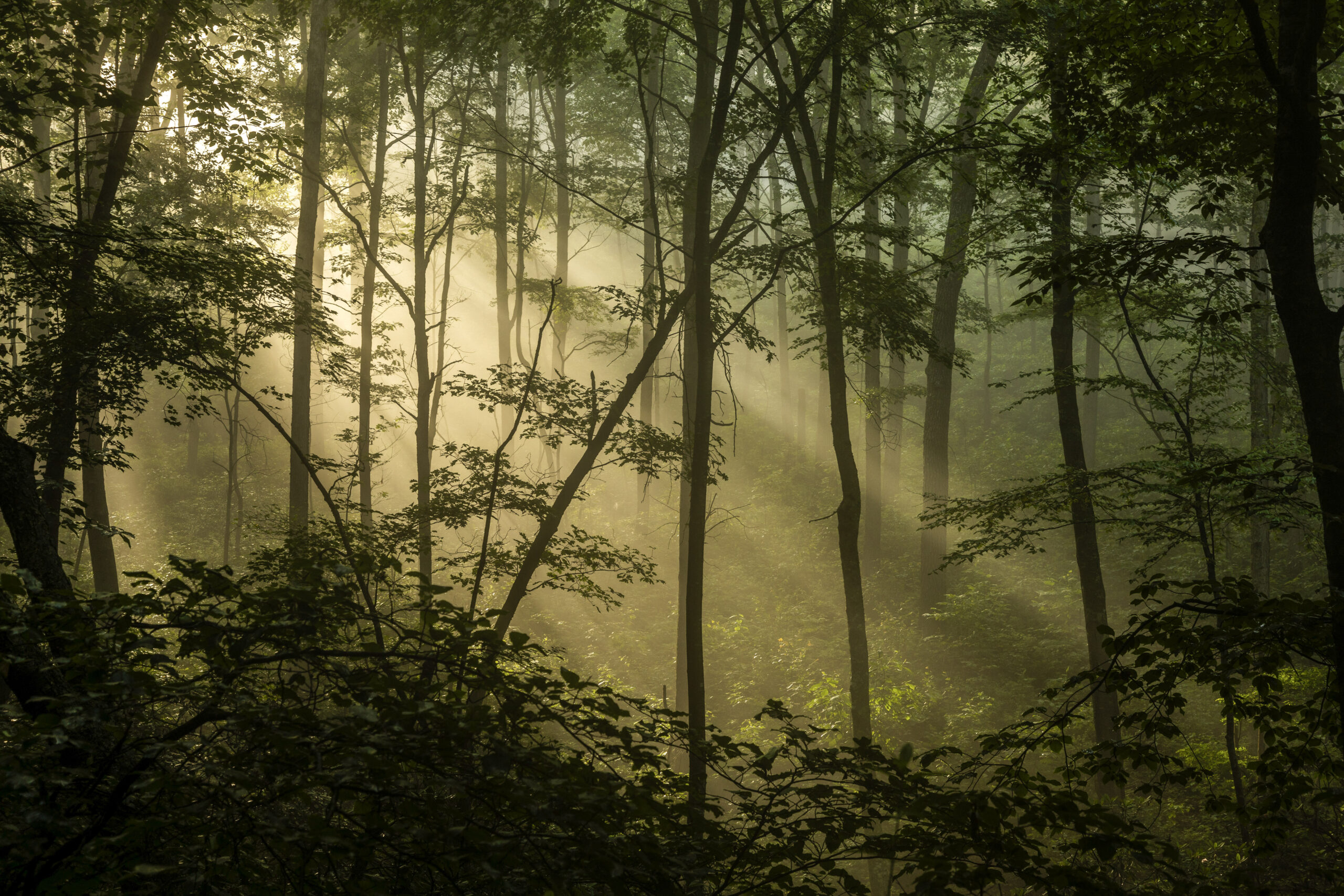
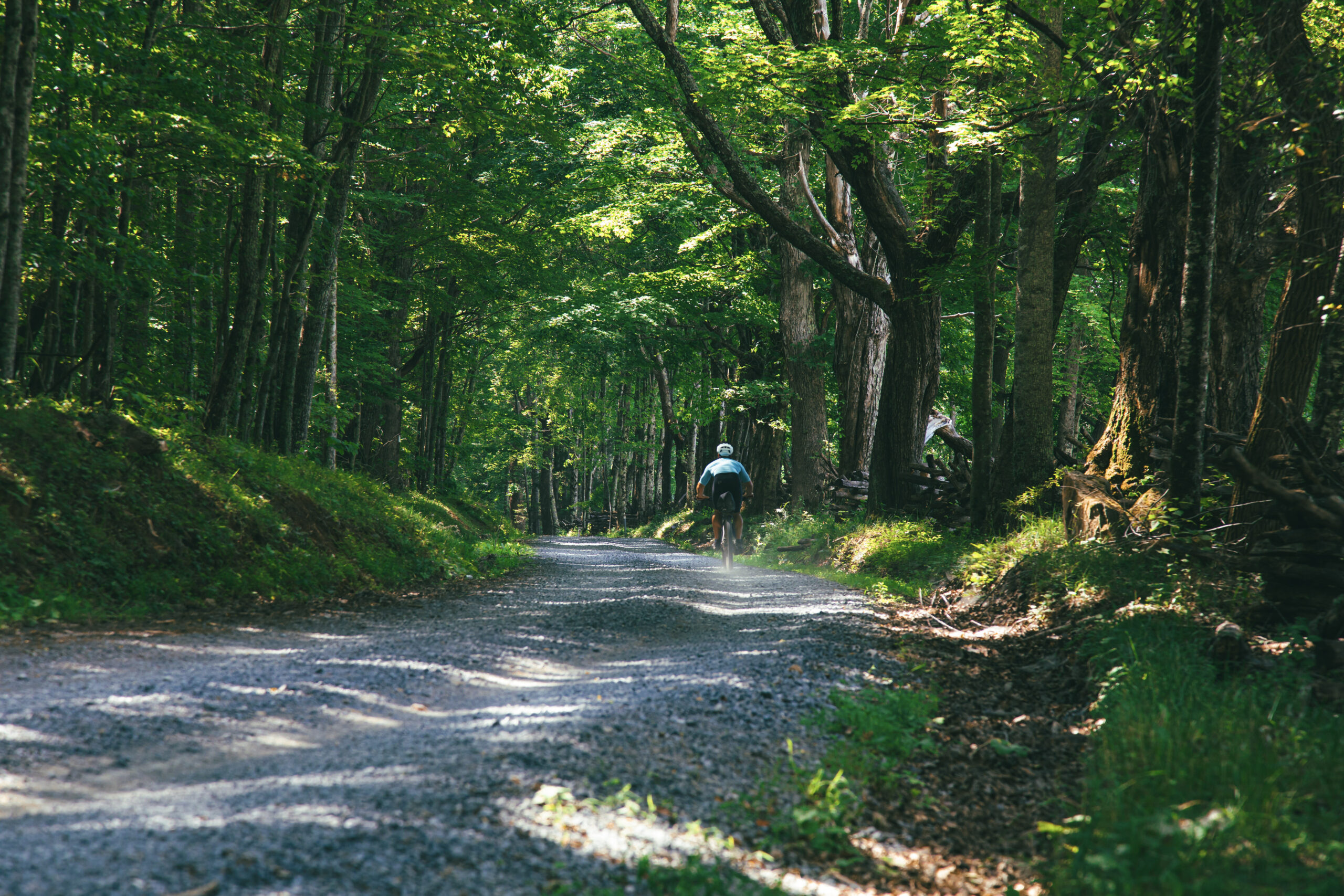
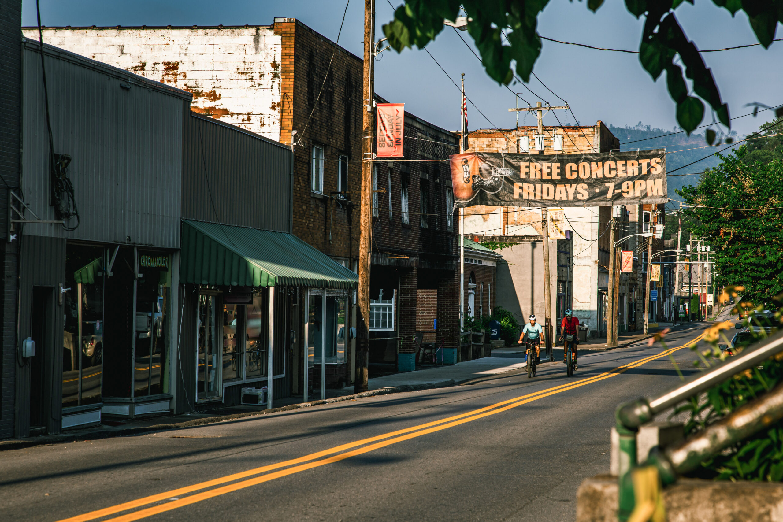
A stop in Marlinton offers a lively midpoint — food, lodging, and the easygoing river-town atmosphere shaped by the rail-trail economy. From there, the route drifts into the mossy, rhododendron-lined corridors near Cranberry Glades Botanical Area, one of the most ecologically unique landscapes in the state. Boardwalk trails protect fragile bog ecosystems that feel more like northern tundra than Appalachia, and the surrounding forest roads remain blissfully free of motor vehicles.
Swimming holes are plentiful in the warmer months, but be prepared for a stout opening climb out of Richwood to set the tone. Long stretches of this route have little to no cell coverage, reinforcing its backcountry character.
- Paved: 32%
- Gravel (Smooth & Rough combined): 62%
- 4×4 Road: 5%
- Singletrack: 1%
- Resupply is available in Renick (mile 28), Seebert (78), and Marlinton (88). The Cranberry Mountain Nature Center (mile 115) carries limited snacks — check hours if planning a critical stop.
- Camping options abound, from free primitive sites to established campgrounds, including multiple options along two sections of the Greenbrier River Trail.
- In Marlinton, free camping is available just outside town at Stillwell Park near the Monday Lick MTB trail system. Greenbrier Bikes can assist with mechanical needs, and several food and lodging options cater to trail users.
- Refer to route POIs and this Resupply Spreadsheet for more information on camping, lodging and re-supply along the route.
Find more information to prepare for your Mon Forest adventure on the main network page.
We acknowledge that the lands now known as the Monongahela National Forest are the ancestral homelands of Indigenous peoples, including the Haudenosaunee (Seneca), Shawnee, Lenape (Delaware), and Myaamia, who stewarded these mountains and rivers for generations. We honor their enduring connection to this land and recognize that their histories and cultures continue today, and we offer this acknowledgment with respect and gratitude.
Please be sure to get in touch with any updates on route conditions that may be relevant to other riders.
Please submit your questions and comments on the route via the contact form below.
The project was developed collaboratively with regional partners including:
- Village to Village Trails (V2V) – route design and mapping led by regional route builder David Landis with Geoff Patterson, Jonny Ramirez, and numerous local riders providing route design support, feedback and documentation.
- MountainRides WV – local cycling advocacy and community outreach led by GRUSK race director Travis Olson
- Bikepacking Roots – national nonprofit supporting route stewardship and bikepacking access led by Noelle Battle
Route photography contributed by Jonny Ramirez, Wild Hare Media, David Landis, and Geoff Patterson.

This route is a part of the Mon Forest Gravel & Bikepacking Route Network, a project of the Mon Forest Towns Partnership created by Village to Village Trails, Mountain Rides WV, and Bikepacking Roots.