Route Overview
Region
Miles
Days Out
Recommended Tire Size
Season
Elevation Gain
Difficulty
4.5/10 Technical
Primary Surface(s)

Route Map
Route Details
This northern Mon overnighter begins in Davis — Canaan Valley’s renowned mountain bike hub — and links together distinct landscapes into one cohesive, high-country adventure.
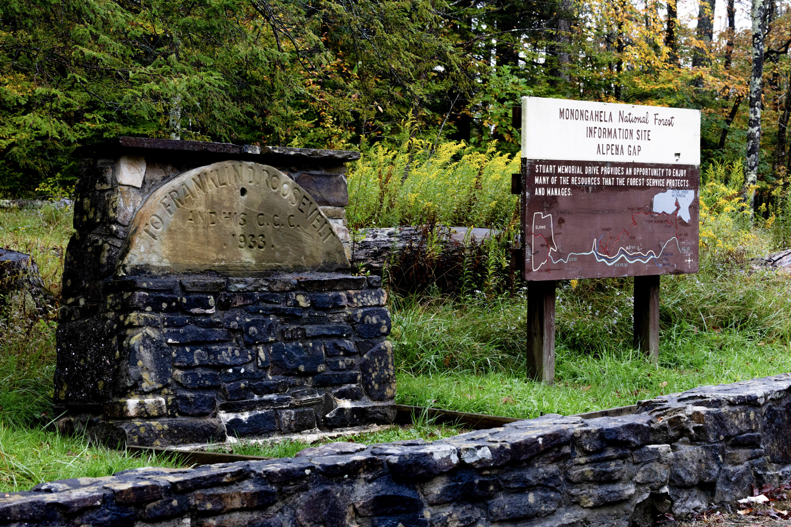
After stocking up in Davis, the route rolls through Blackwater Falls State Park, where destination-worthy overlooks at Blackwater Falls and Lindy Point invite a short pause. A rugged 4×4 stretch traces the canyon rim before descending to the Dry Fork. From there, a series of punchy paved climbs reaches the Rt. 33 corridor, before continuing to the route’s high point at Bickle Knob. Camping is available partway up the climb at Bear Heaven (mile 39), along with a fire tower offering sweeping panoramic views at the summit (mile 43).
From the summit, a steep descent drops to Shavers Fork and the Stuart Recreation Area (camping available), followed by a gentle river-grade gravel spin into Parsons for full resupply and lodging options. The return ascends gradually along the Blackwater Canyon Rail Trail to Thomas (food and lodging) before reconnecting to Davis via Rt. 32, a busy but currently unavoidable stretch that local cyclists continue to advocate for improving with a safer alternative.
- Paved: 38%
- Gravel (Smooth & Rough combined): 54%
- 4×4 Road: 8%
- Singletrack: 0%
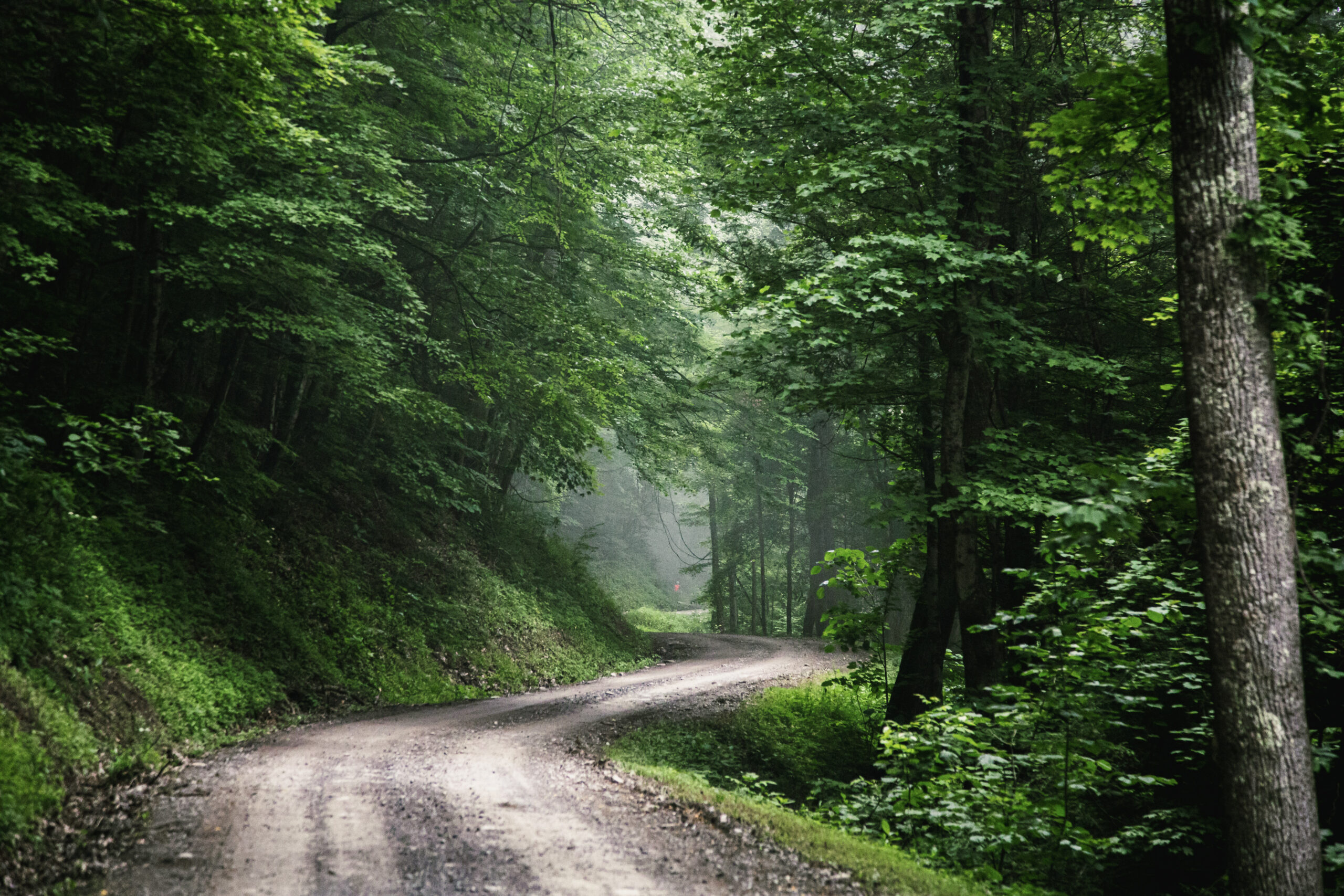
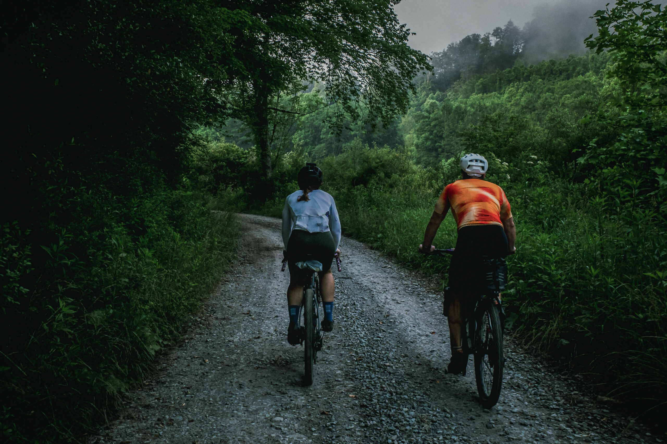
- Tire Choice: Wide gravel tires or 2”+ MTB tires are recommended for the rugged, often muddy sections along Canaan Loop Road beyond Lindy Point.
- Re-supply:
- Refer to route POIs and this Resupply Spreadsheet for more information on camping, lodging and re-supply along the route.
- To detour into Elkins for a bike shop or full services (+7 miles each way), use Stone House, Cravens Run, and Harpertown roads — avoid unsafe US Highway 33.
- Dry Fork Ford alternative (low water only): Connecting miles 18–26 by wading the river can bypass some climbing, but conditions are often dangerous or impassable after snowmelt or heavy rain. Attempt only with caution and personal responsibility.
Find more information to prepare for your Mon Forest adventure on the main network page.
We acknowledge that the lands now known as the Monongahela National Forest are the ancestral homelands of Indigenous peoples, including the Haudenosaunee (Seneca), Shawnee, Lenape (Delaware), and Myaamia, who stewarded these mountains and rivers for generations. We honor their enduring connection to this land and recognize that their histories and cultures continue today, and we offer this acknowledgment with respect and gratitude.
Please be sure to get in touch with any updates on route conditions that may be relevant to other riders.
Please submit your questions and comments on the route via the contact form below.
The project was developed collaboratively with regional partners including:
- Village to Village Trails (V2V) – route design and mapping led by regional route builder David Landis with Geoff Patterson, Jonny Ramirez, and numerous local riders providing route design support, feedback and documentation.
- MountainRides WV – local cycling advocacy and community outreach led by GRUSK race director Travis Olson
- Bikepacking Roots – national nonprofit supporting route stewardship and bikepacking access led by Noelle Battle
Route photography contributed by Jonny Ramirez, Wild Hare Media, David Landis, and Geoff Patterson.

This route is a part of the Mon Forest Gravel & Bikepacking Route Network, a project of the Mon Forest Towns Partnership created by Village to Village Trails, MountainRides WV, and Bikepacking Roots.