Route Overview
Region
Miles
Days Out
Recommended Tire Size
Season
Elevation Gain
Difficulty
1/10 Technical
Primary Surface(s)


Route Map
Route Details
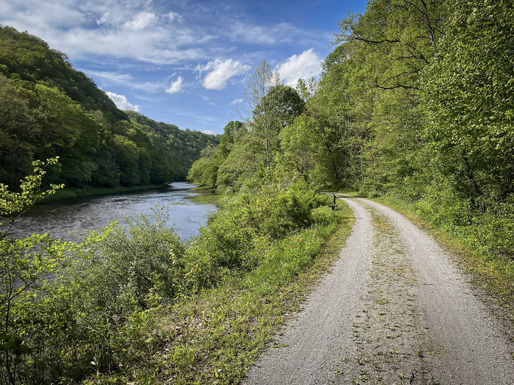
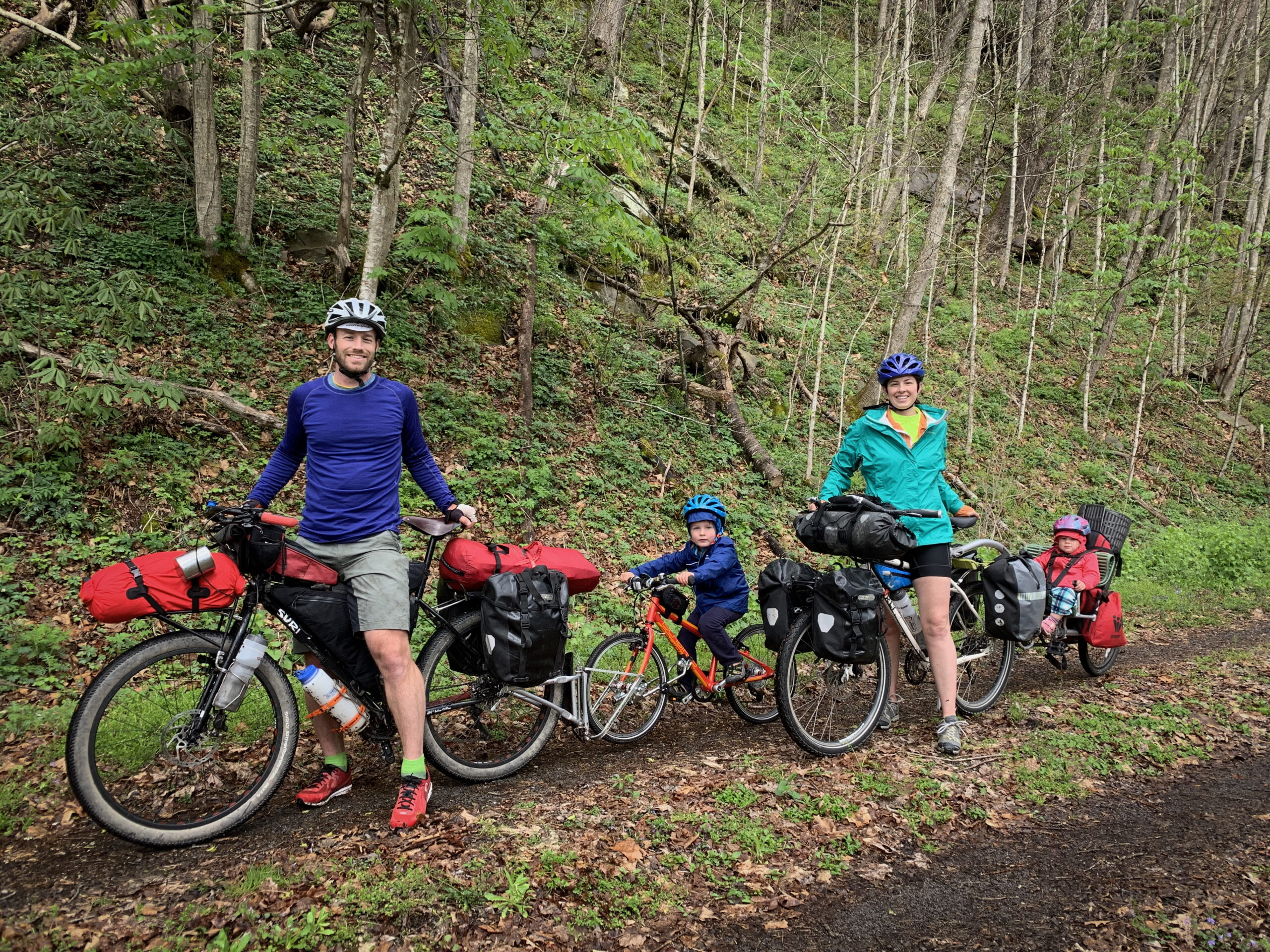
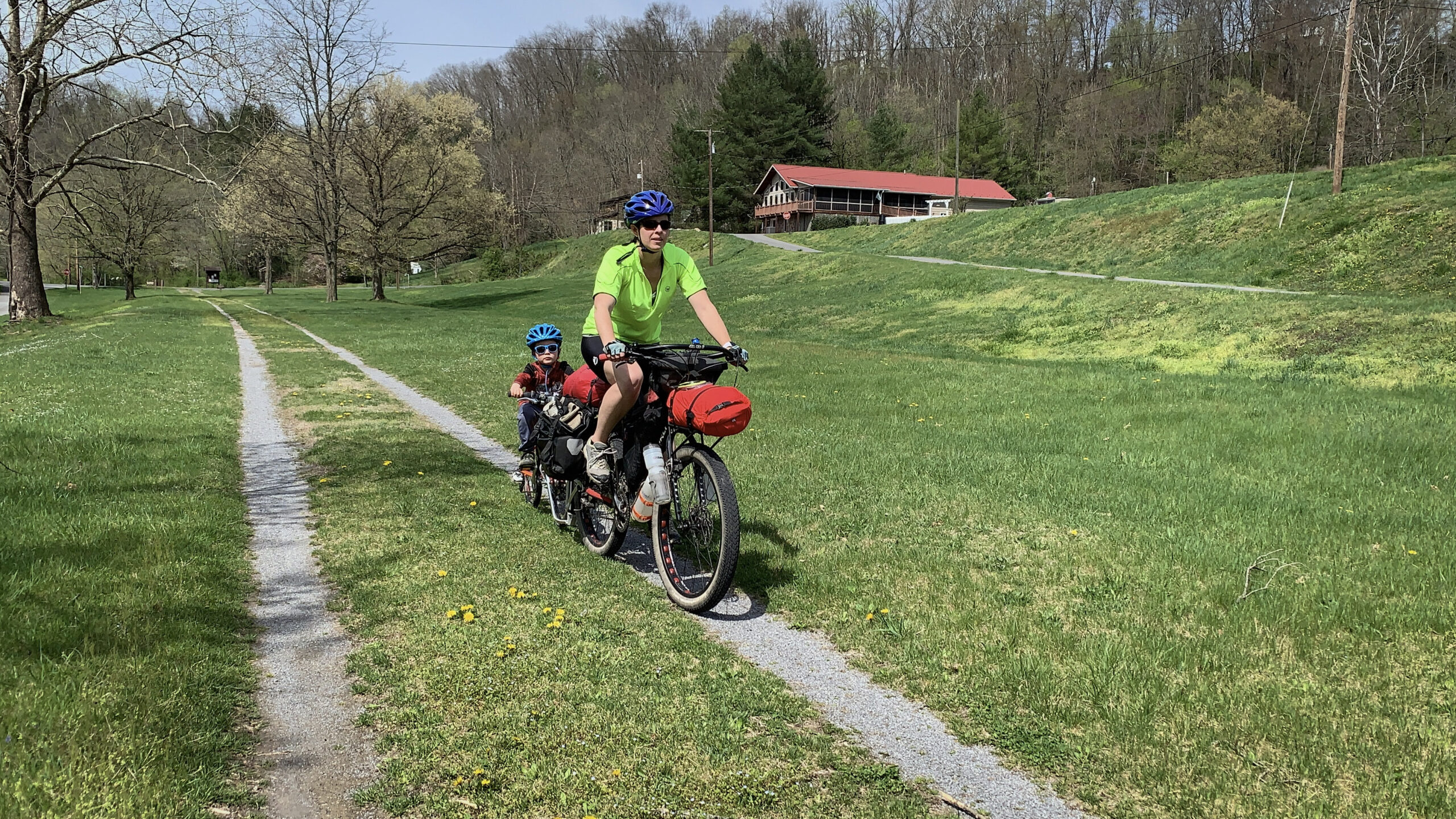
Bikepacking the Greenbrier River Trail from south to north (and back again) is one of West Virginia’s most accessible and rewarding multi-day adventures. Stretching 78 miles through the heart of the state, the crushed limestone rail-trail corridor follows the Greenbrier River from Caldwell (1,696’) through Marlinton to Cass Scenic Railroad State Park (2,450’). Riding north means a gentle, nearly imperceptible climb upstream; the return south offers a smooth, gradual descent that makes the miles melt away. With a wide, forgiving surface and consistent grade, it’s ideal for both first-time bikepackers and seasoned riders seeking a scenic endurance spin.
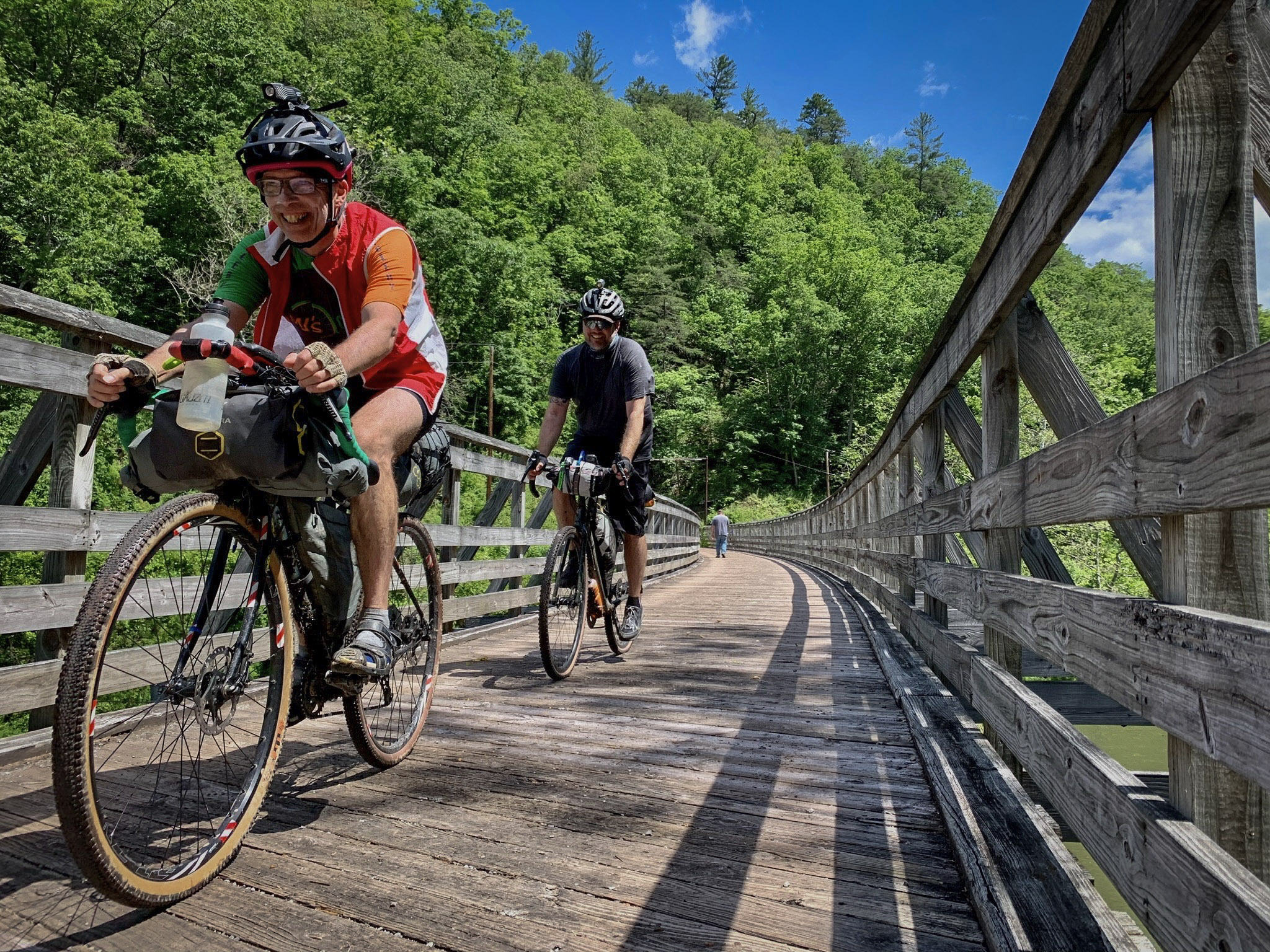
Completed around 1900 as part of the Chesapeake & Ohio Railway, the line once hauled timber and coal out of the mountains before being abandoned and later transformed into one of the longest rail-trails in the eastern United States. Today, riders cross 37 picturesque bridges and pass through two memorable tunnels: the 402-foot Droop Mountain Tunnel (built in 1900) and the 511-foot Sharps Tunnel (constructed in 1899). Old depots, rail remnants, and quiet river towns along the route offer subtle reminders of the region’s industrial past.
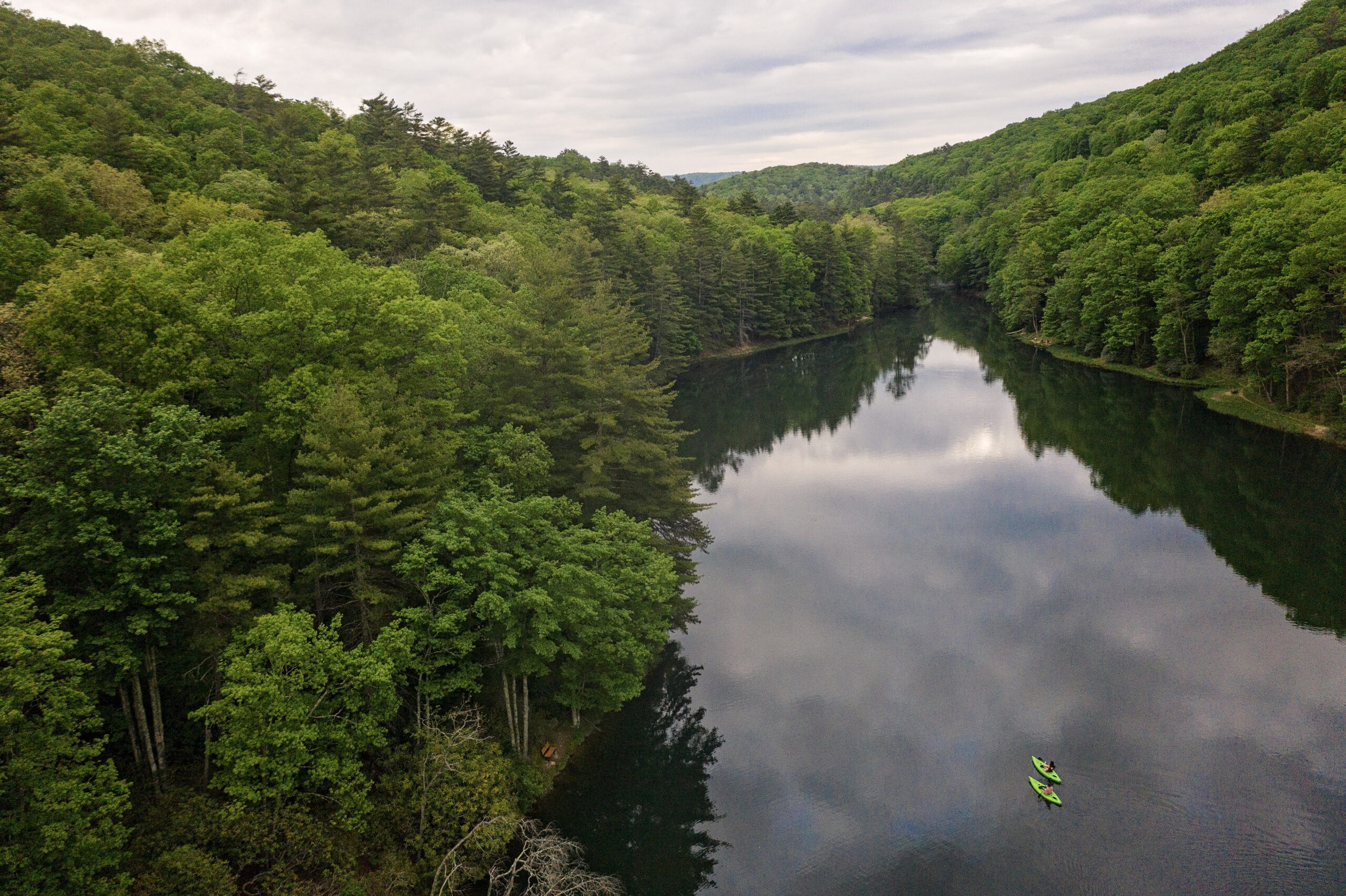
Highlights include resupply and lodging in Marlinton, abundant riverside camping, and frequent wildlife sightings along tranquil stretches of forested riverbank. Two state parks anchor the corridor, and numerous access points make logistics flexible. With steady water access, plentiful campsites, and welcoming trail towns, the Greenbrier River Trail delivers a classic Appalachian rail-trail experience — scenic, historic, and perfectly suited for a relaxed out-and-back bikepacking journey.
- Paved: 5%
- Gravel (Smooth & Rough combined): 95%
- 4×4 Road: 0%
- Singletrack: 0%
- The Greenbrier River Trail WV State Park is managed by Watoga State Park, and the corridor is supported by the Greenbrier River Trail Foundation.
- Many of the free trailside campsites are noted on the map, but you may find additional rustic sites. Follow proper food storage practices. Black bears are common throughout the corridor.
- Food options are limited outside of Marlinton, but there are also stores in Renick, Seebert, and Cass.
- Refer to route POIs and this Resupply Spreadsheet for more information on camping, lodging and re-supply along the route.
- The Droop Mountain and Sharps tunnels are long, dark, and cool year-round. A small front light makes them far more comfortable, especially in wet conditions when the surfaces can be slick.
- Shuttles can be arranged for those only interested in a one-way, downhill trip. Check with Greenbrier Bikes and Appalachian Sport (Marlinton), WV Outdoor Adventures (White Sulphur Springs), and Free Spirit Adventures (Caldwell). The MTA (Mountain Transit Authority) will also do this, but are a bit more limited in their capacity.
Find more information to prepare for your Mon Forest adventure on the main network page.
We acknowledge that the lands now known as the Monongahela National Forest are the ancestral homelands of Indigenous peoples, including the Haudenosaunee (Seneca), Shawnee, Lenape (Delaware), and Myaamia, who stewarded these mountains and rivers for generations. We honor their enduring connection to this land and recognize that their histories and cultures continue today, and we offer this acknowledgment with respect and gratitude.
Please be sure to get in touch with any updates on route conditions that may be relevant to other riders.
Please submit your questions and comments on the route via the contact form below.
The project was developed collaboratively with regional partners including:
- Village to Village Trails (V2V) – route design and mapping led by regional route builder David Landis with Geoff Patterson, Jonny Ramirez, and numerous local riders providing route design support, feedback and documentation.
- MountainRides WV – local cycling advocacy and community outreach led by GRUSK race director Travis Olson
- Bikepacking Roots – national nonprofit supporting route stewardship and bikepacking access led by Noelle Battle
Route photography contributed by Jonny Ramirez, Wild Hare Media, David Landis, and Geoff Patterson.

This route is a part of the Mon Forest Gravel & Bikepacking Route Network, a project of the Mon Forest Towns Partnership created by Village to Village Trails, Mountain Rides WV, and Bikepacking Roots.