Route Overview
Region
Miles
Days Out
Recommended Tire Size
Season
Elevation Gain
Difficulty
3.5/10 Technical
Primary Surface(s)
Route Map
Route Details
Durbin – Laurel Fork – Osceola – Spruce Knob – Long Run
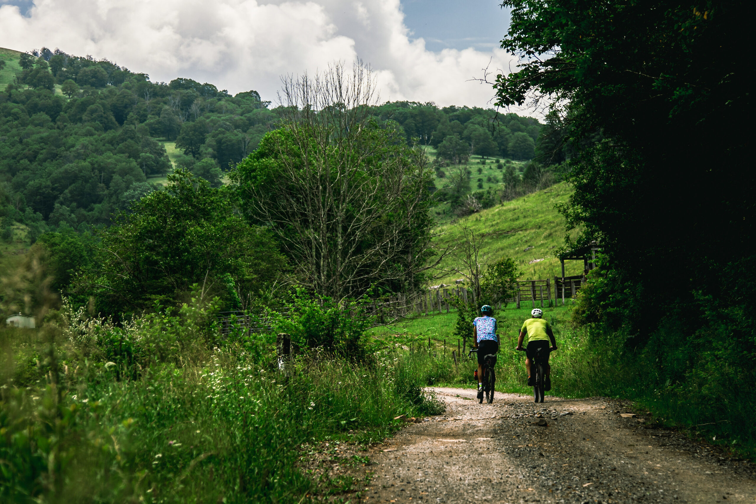
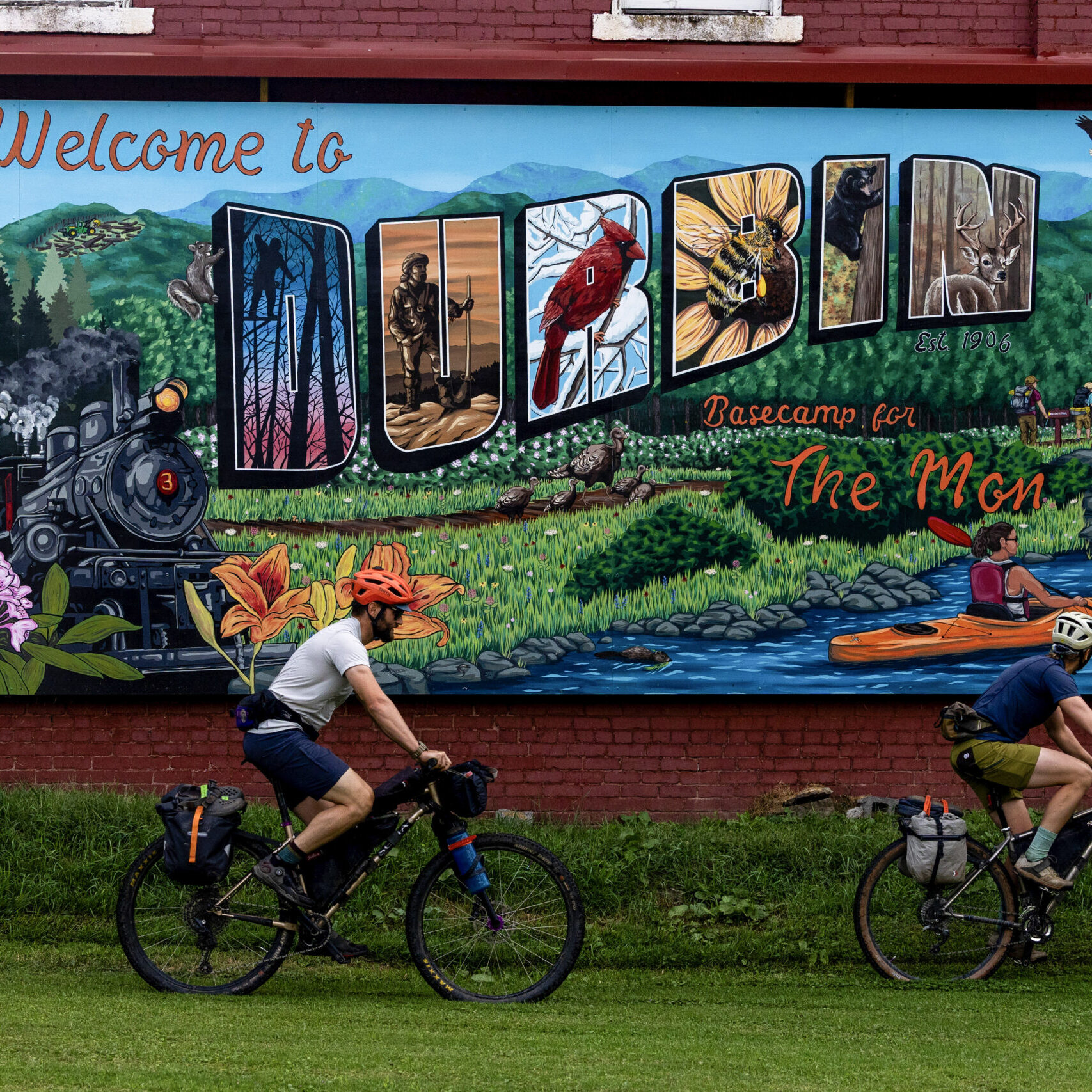
This intermediate bikepacking loop from Durbin mirrors much of the southern half of the Spruce Knob 220 GRUSK route, with key variations that add depth, remoteness, and a stronger connection to some of the Monongahela’s most iconic high-country landscapes. The route begins by heading north along the West Fork of the Greenbrier River before climbing gradually into the quieter reaches of Little River and the Laurel Fork backcountry.
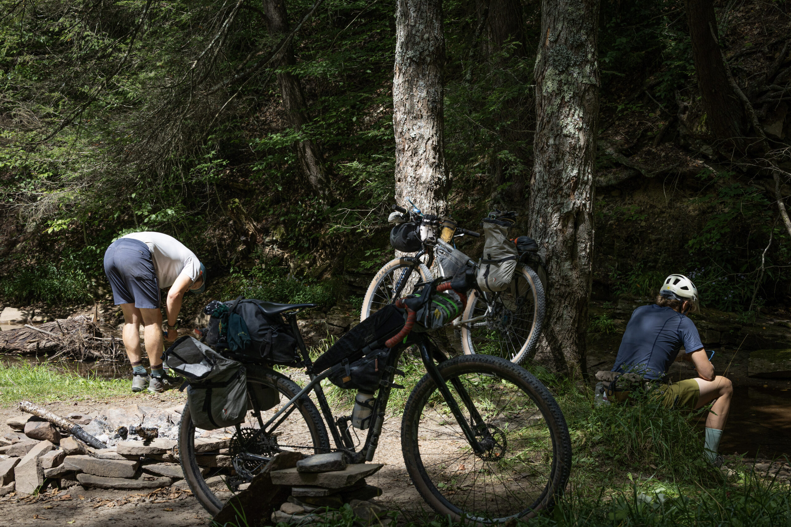
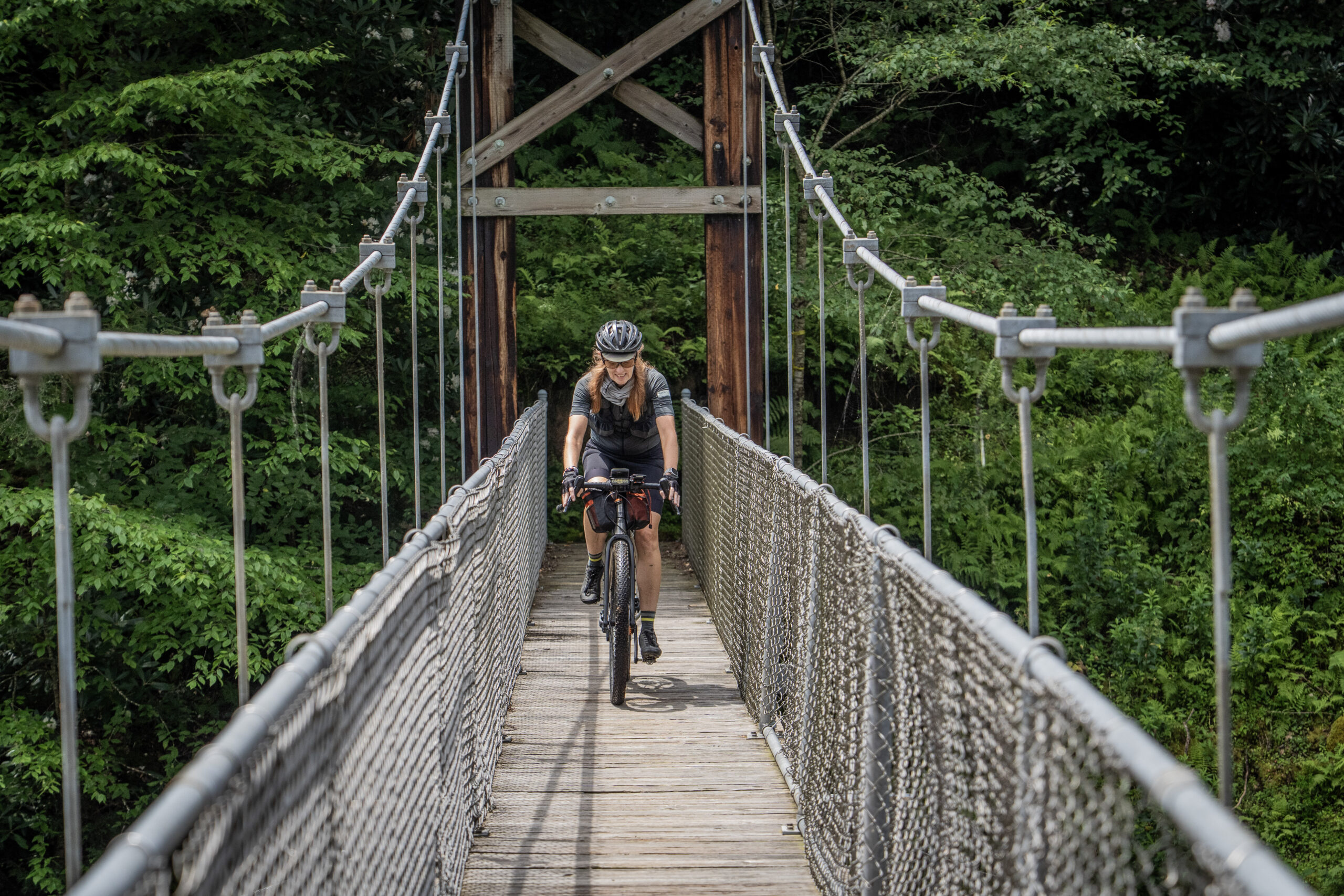
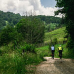
The Laurel Fork section is a highlight of the ride, traversing a vast, lightly developed corridor along the edge of the Laurel Fork South Wilderness. Here, riders are immersed in a rugged mix of red spruce stands, northern hardwood forests, and rhododendron-lined streams that feel distinctly more remote than much of the surrounding forest. The road network rolls steadily through this high-elevation terrain, with long, quiet stretches of gravel, minimal traffic, and frequent access to primitive dispersed camping. Laurel Fork itself is a designated Wild Trout Stream, known for its clear, cold water and secluded backcountry character—making this an ideal place to slow down, explore, or spend a night along the river at the Laurel Fork Campground (mile 25).
The route then threads through Osceola, a tiny crossroads community tucked deep in the folds of the forest. Just beyond lies the Sinks of Gandy, where Gandy Creek disappears underground into a remarkable limestone cave system before reemerging downstream. In lower water, sections of the cavern can be explored by carefully wading along the subterranean stream—a rare geological feature that adds a distinctly Appalachian sense of wonder to the ride.
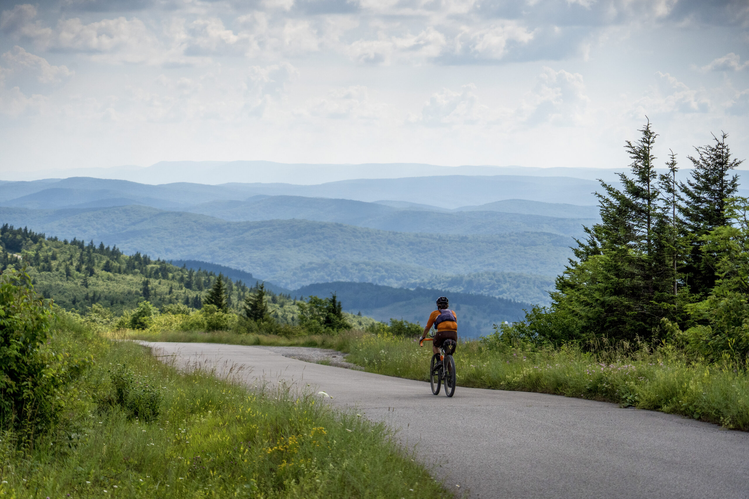
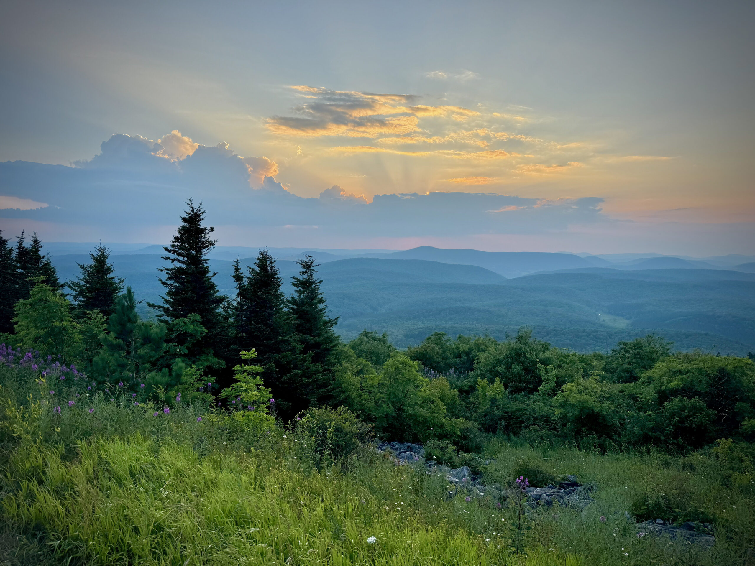
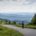
From here, the route begins its ascent toward the high plateau surrounding Spruce Knob. Passing Spruce Knob Lake and Campground, a quiet and scenic backcountry reservoir nestled among spruce and hemlock, the climb continues to the summit of Spruce Knob (4,863’)—the highest point in West Virginia. The final approach transitions into a mix of gravel and paved access, leading to a parking area with restrooms and a short walk to the stone observation tower. The surrounding open areas and nearby viewpoints offer sweeping vistas across the Allegheny Mountains, often stretching into Virginia on clear days. The high elevation here creates a distinctly cooler, wind-swept environment, with red spruce ecosystems more reminiscent of northern Appalachia or even southern Canada.
Leaving Spruce Knob, the route stays high along the Allegheny Front, traversing exposed ridgelines and remote forest corridors before reaching Smoke Camp Knob. This prominent summit offers expansive views across some of the most remote terrain in the Monongahela backcountry and once served as a fire detection site. Though any former tower is gone, the windswept character of the ridge still feels like a natural lookout over the vast surrounding wilderness.
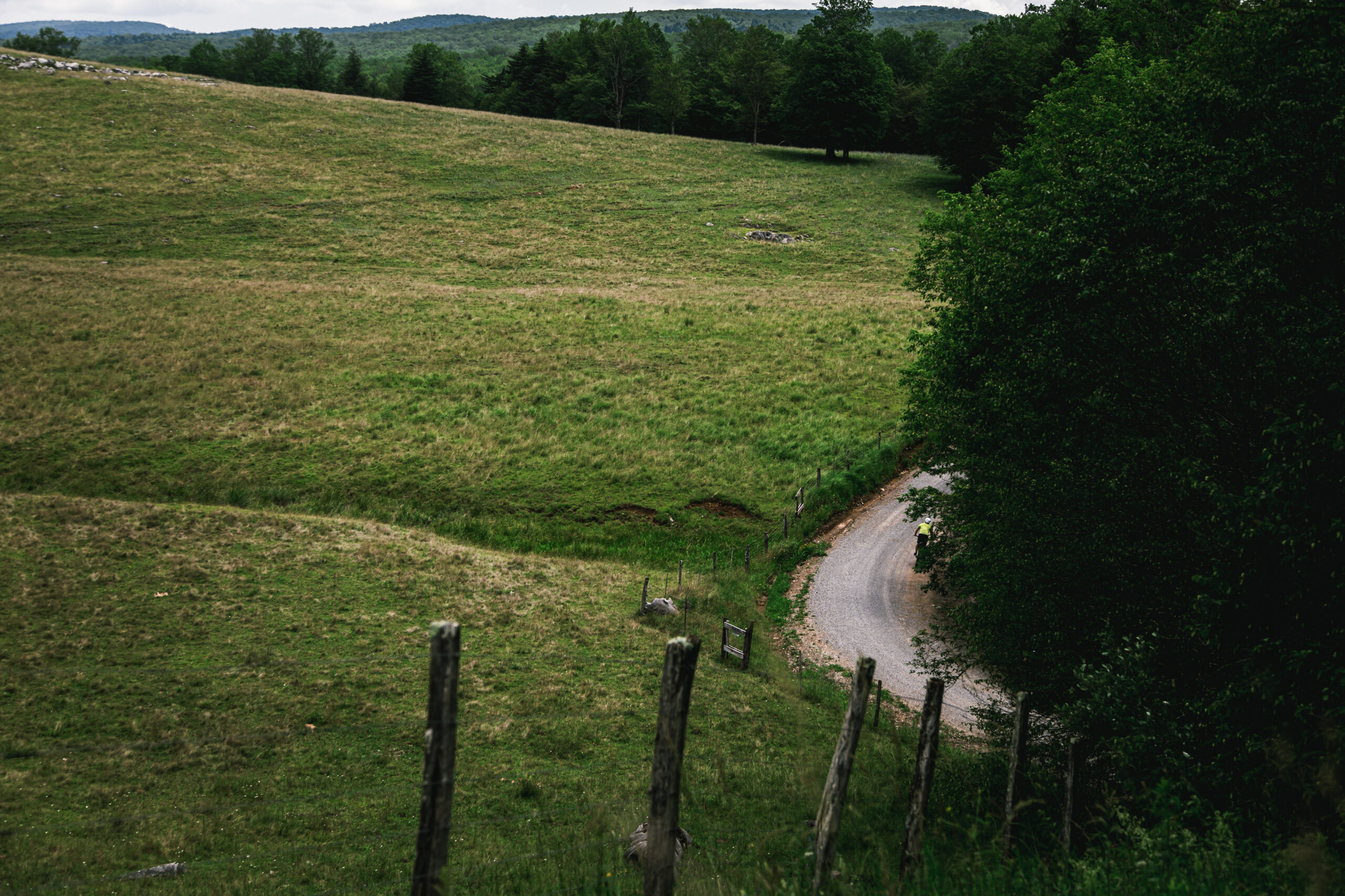
The return to Durbin links together flowing descents and steady climbs past Island Campground and over Burner Mountain before dropping back toward the Greenbrier Valley. Moderate grades, long forest corridors, and the midway summit of Spruce Knob define the character of this rewarding high-country tour—an ideal introduction to multi-day riding in one of West Virginia’s most remote and scenic regions.
- Paved: 14%
- Gravel (Smooth & Rough combined): 86%
- 4×4 Road: 0%
- Singletrack: 0%
- No food or lodging services exist directly on route, so plan to carry adequate food and overnight gear.
- Water is generally plentiful for filtering, with multiple stream crossings and a few reliable roadside springs along the way.
- Refer to route POIs and this Resupply Spreadsheet for more information on camping, lodging and re-supply along the route.
- The ride can be shortened by approximately 16 miles and 1,200 feet of climbing by skipping the out-and-back ascent of Spruce Knob.
- The Osceola area evokes Middle-earth—an otherworldly, hidden mountain landscape tucked deep within the forested folds of the Mon.
Find more information to prepare for your Mon Forest adventure on the main network page.
We acknowledge that the lands now known as the Monongahela National Forest are the ancestral homelands of Indigenous peoples, including the Haudenosaunee (Seneca), Shawnee, Lenape (Delaware), and Myaamia, who stewarded these mountains and rivers for generations. We honor their enduring connection to this land and recognize that their histories and cultures continue today, and we offer this acknowledgment with respect and gratitude.
Please be sure to get in touch with any updates on route conditions that may be relevant to other riders.
Please submit your questions and comments on the route via the contact form below.
The project was developed collaboratively with regional partners including:
- Village to Village Trails (V2V) – route design and mapping led by regional route builder David Landis with Geoff Patterson, Jonny Ramirez, and numerous local riders providing route design support, feedback and documentation.
- MountainRides WV – local cycling advocacy and community outreach led by GRUSK race director Travis Olson
- Bikepacking Roots – national nonprofit supporting route stewardship and bikepacking access led by Noelle Battle
Route photography contributed by Jonny Ramirez, Wild Hare Media, David Landis, and Geoff Patterson.

This route is a part of the Mon Forest Gravel & Bikepacking Route Network, a project of the Mon Forest Towns Partnership created by Village to Village Trails, Mountain Rides WV, and Bikepacking Roots.