Route Overview
Region
Miles
Days Out
Recommended Tire Size
Season
Elevation Gain
Difficulty
5/10 Technical
Primary Surface(s)


Route Map
Route Details
Beverly – Helvetia – Kumbrabow State Forest
This challenging overnight route links the western Mon to the historic Swiss German village of Helvetia via an extensive network of gravel backroads. Many of these roads are inconsistently mapped and rarely ridden, even by experienced West Virginia bikepackers. Our route will keep you on the right track, and many miles of additional unpaved roads branch out from the route for you to explore if time and energy allow.
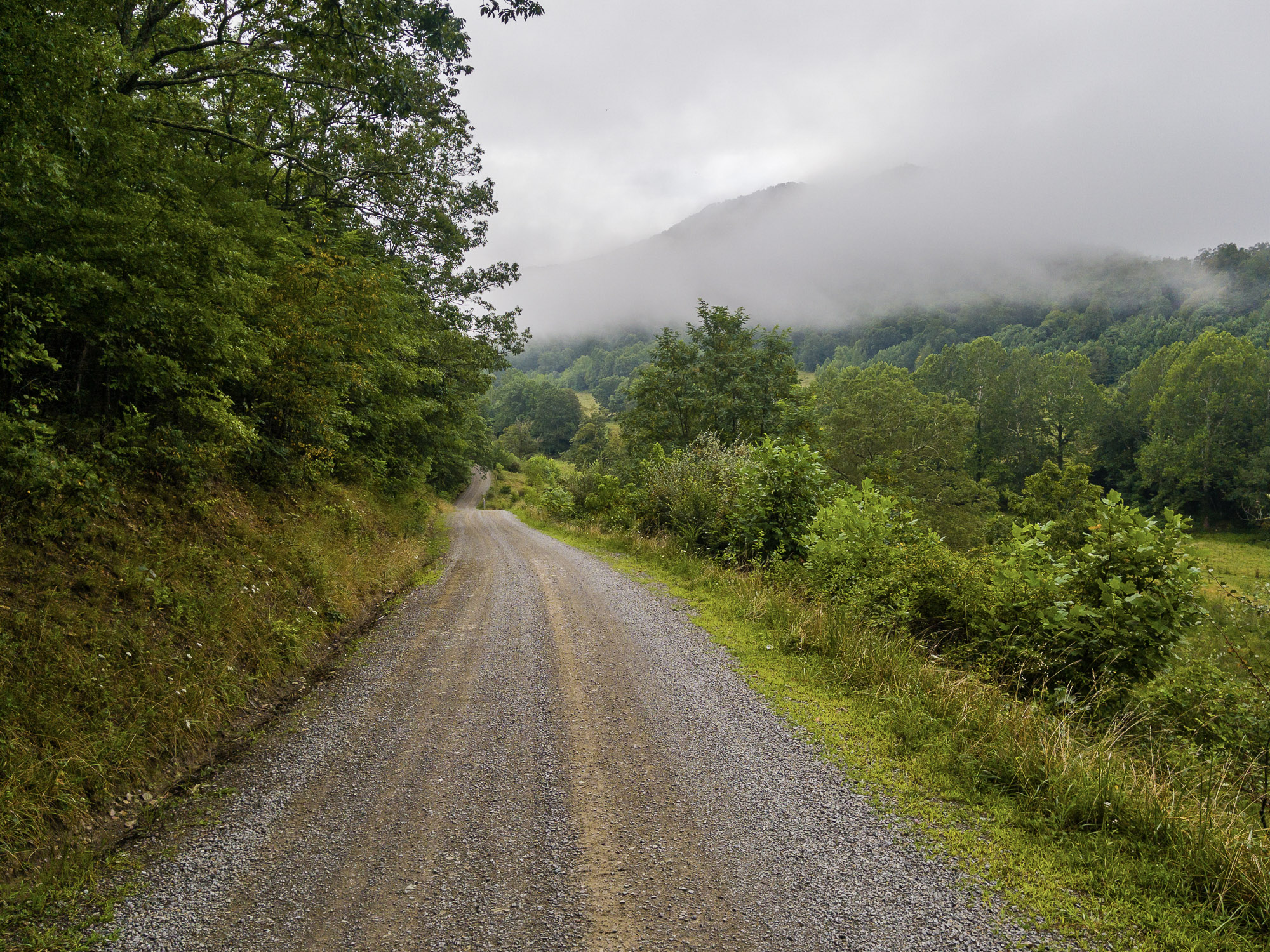
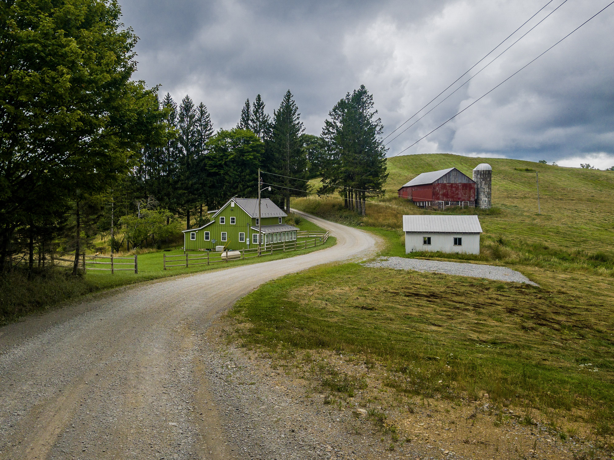
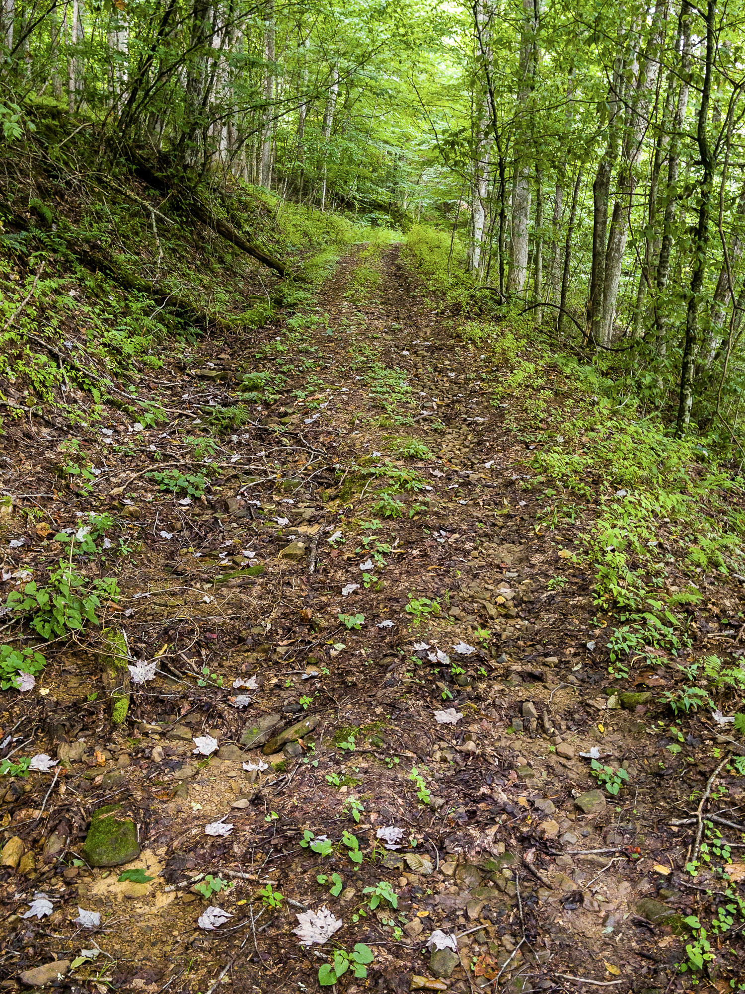
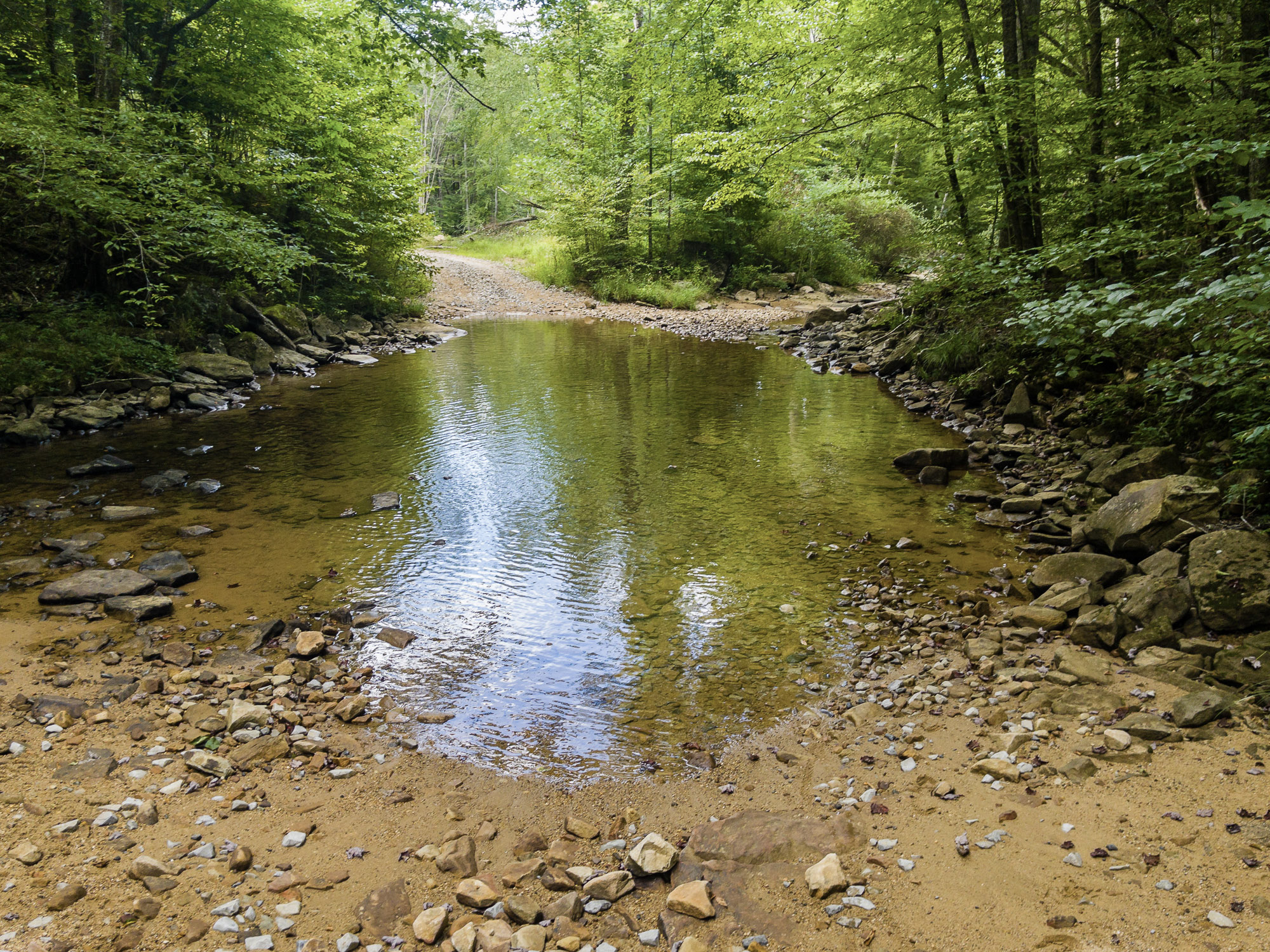
Starting from downtown Beverly, just south of Elkins, the long, gradual paved climb up Rich Mountain provides a warm-up and opportunities to explore nearby Rich Mountain Battlefield. Shortly after descending, you’ll turn onto 25 consecutive miles of remote gravel roads before you suddenly pop out of the forest into the small town of Czar. Most of this terrain is reasonably smooth, but the section includes relentless hills, several miles of rough 4WD road, and three small unbridged creek crossings.
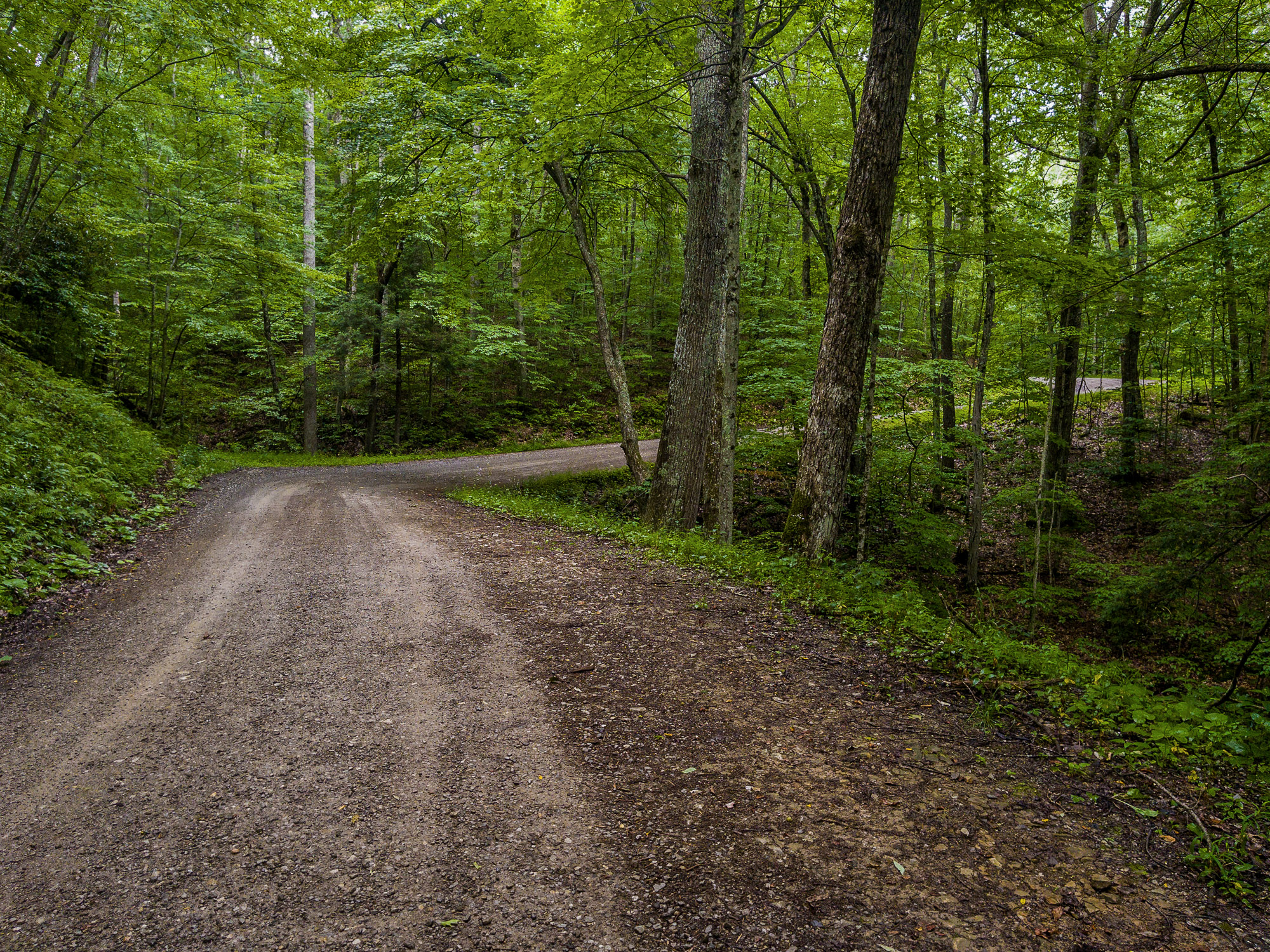
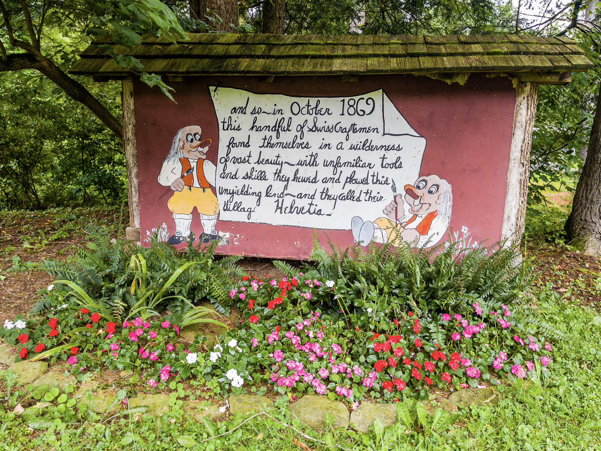
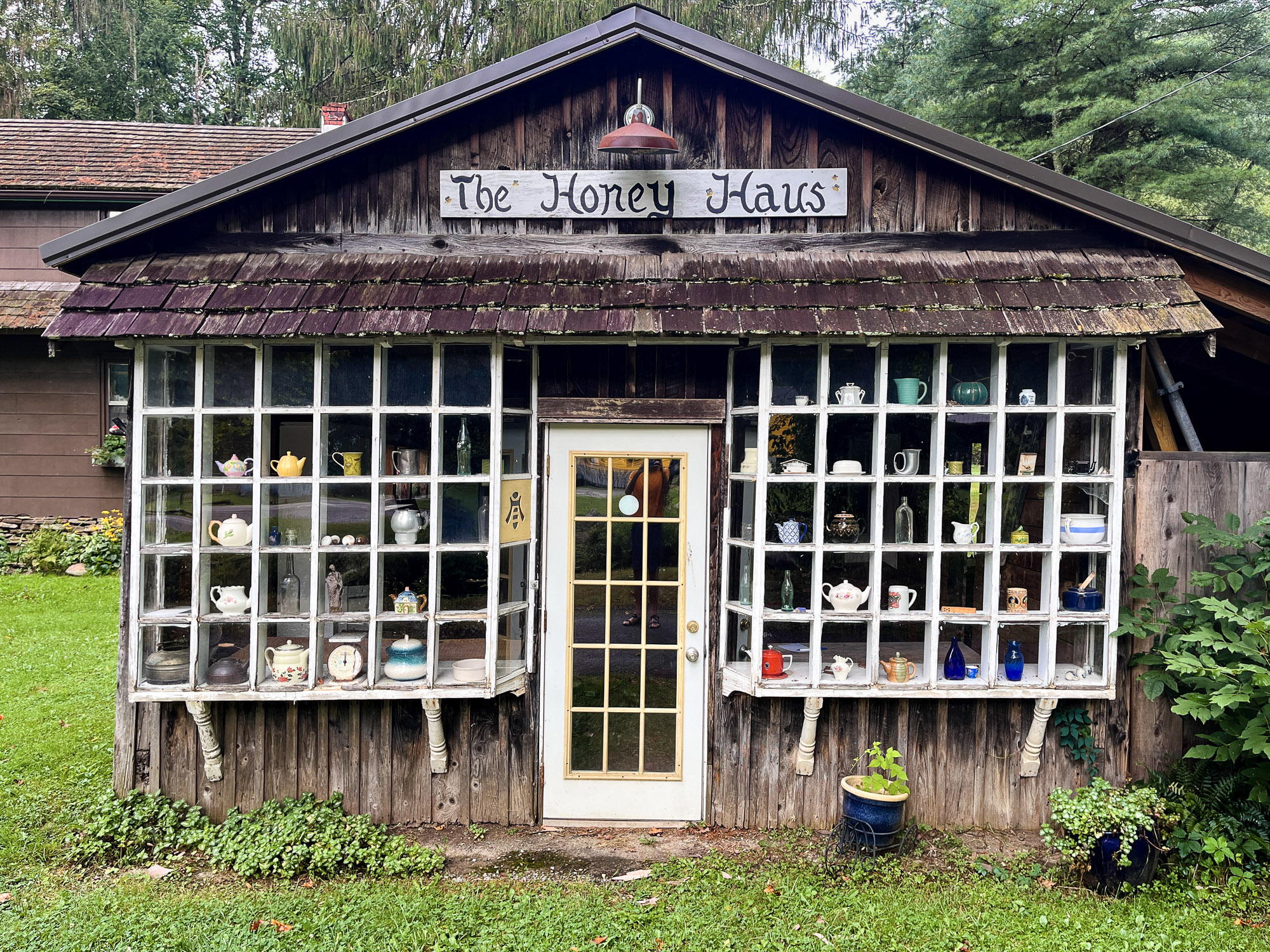
From Czar, it’s an easy few miles into Helvetia — plan to stick around for a while to refuel and take a spin or stroll through the lovely Swiss German village. If you’re not spending the night in one of the town’s two inns, you’ll head back into the mountains on well-manicured gravel and, after one last chance to stock up at the general store in Pickens, make the steady climb up to Kumbrabow State Forest. The forest is one of many Dark Sky Parks in West Virginia, and both camping and cabins are available.
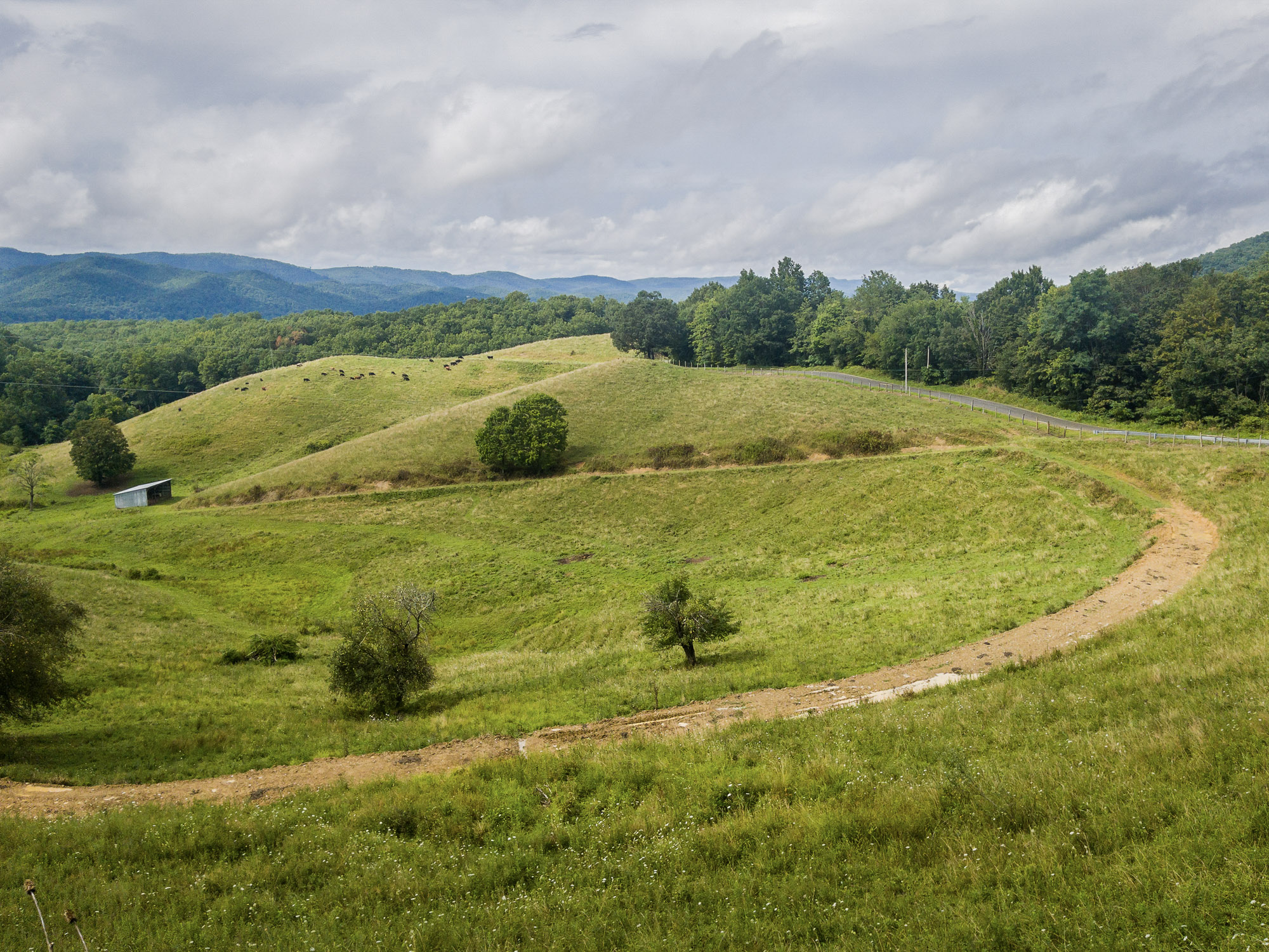
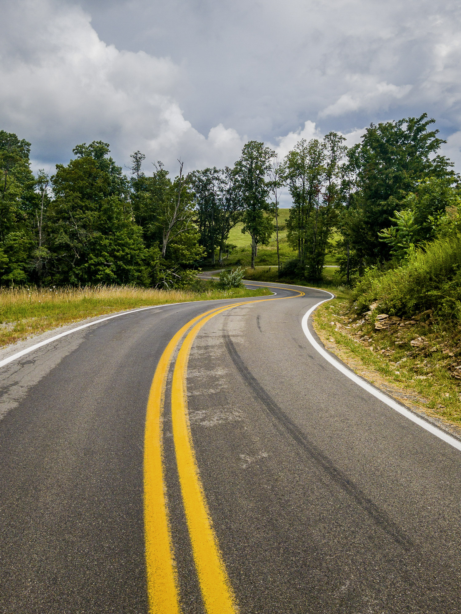
From Kumbrabow, a fast (and recently paved) descent takes you back into the valley for a mellower final 25 miles that features farmland scenery, rolling paved roads, brief highway segments, food in Huttonsville and Mill Creek, and one final gravel climb and descent through the western Mon.
- Paved: 51%
- Gravel (Smooth & Rough combined): 46%
- 4×4 Road: 3%
- Singletrack: 0%
- Helvetia is significantly more crowded during its popular festivals. The winter Fasnacht celebration is particularly well-attended, but you’ll have to be an experienced winter rider to join the party by bike.
- Much of the route is outside the Mon, so stay on the gravel roads and respect private property adjacent to the route.
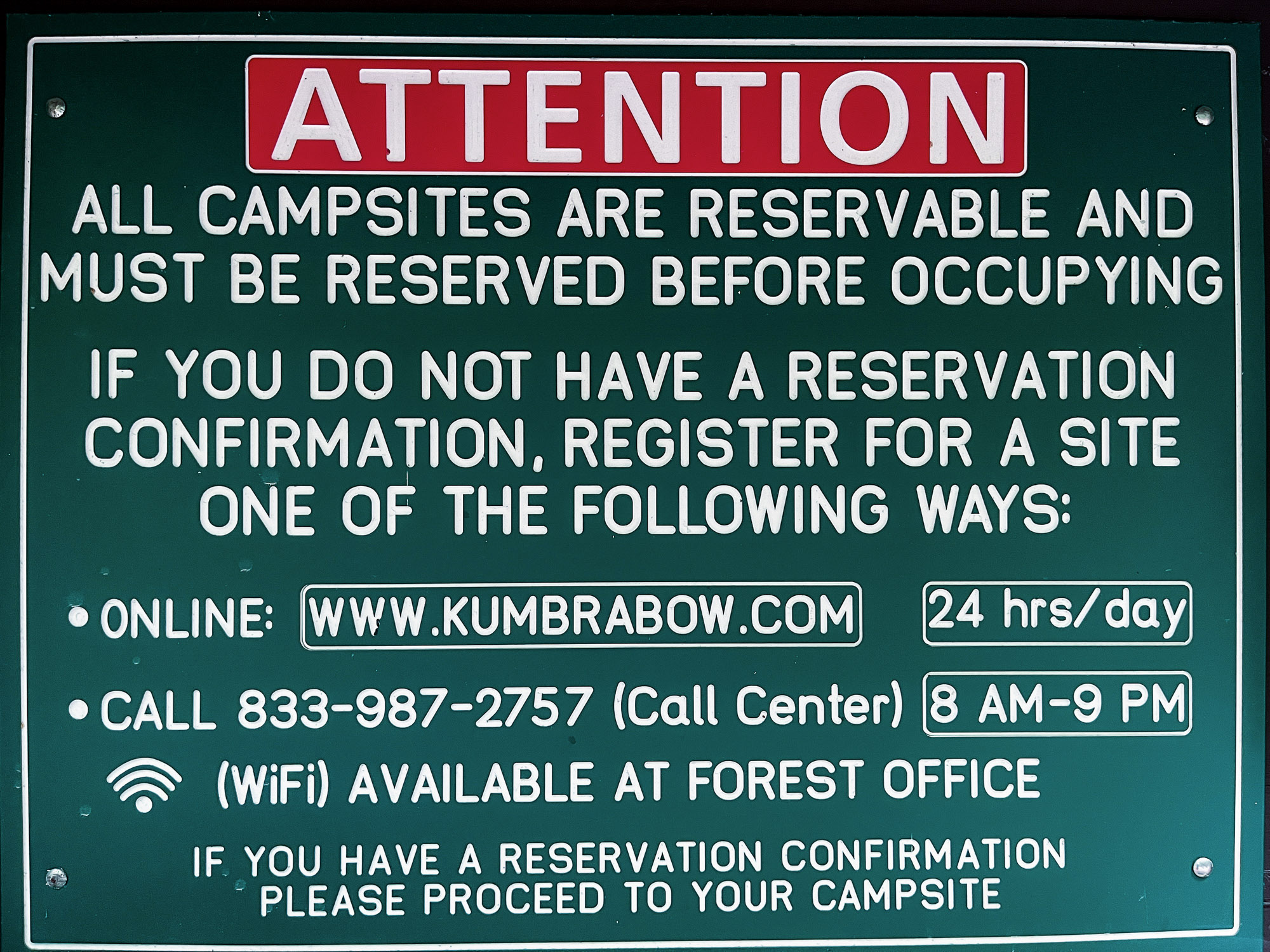
- If you plan to camp, Kumbrabow State Forest (mile 57) is the logical option. Czar also has a private campground with several sites.
- Mill Creek Falls (mile 61): This short out-and-back is included in the route as a worthwhile detour, featuring a moderate gravel descent and climb to one of the area’s most scenic waterfalls.
- For a splurge, stay in Helvetia at either the Beekeeper Inn or Swiss Roots.
- Refer to route POIs and this Resupply Spreadsheet for more information on camping, lodging and re-supply along the route.
- This route only scratches the surface of the gravel available in the Czar/Helvetia area; if you get the chance to explore off route, let us know what you find!
Find more information to prepare for your Mon Forest adventure on the main network page.
We acknowledge that the lands now known as the Monongahela National Forest are the ancestral homelands of Indigenous peoples, including the Haudenosaunee (Seneca), Shawnee, Lenape (Delaware), and Myaamia, who stewarded these mountains and rivers for generations. We honor their enduring connection to this land and recognize that their histories and cultures continue today, and we offer this acknowledgment with respect and gratitude.
Please be sure to get in touch with any updates on route conditions that may be relevant to other riders.
Please submit your questions and comments on the route via the contact form below.
The project was developed collaboratively with regional partners including:
- Village to Village Trails (V2V) – route design and mapping led by regional route builder David Landis with Geoff Patterson, Jonny Ramirez, and numerous local riders providing route design support, feedback and documentation.
- MountainRides WV – local cycling advocacy and community outreach led by GRUSK race director Travis Olson
- Bikepacking Roots – national nonprofit supporting route stewardship and bikepacking access led by Noelle Battle
Route photography contributed by Jonny Ramirez, Wild Hare Media, David Landis, and Geoff Patterson.

This route is a part of the Mon Forest Gravel & Bikepacking Route Network, a project of the Mon Forest Towns Partnership created by Village to Village Trails, Mountain Rides WV, and Bikepacking Roots.