Route Overview
Region
Miles
Days Out
Recommended Tire Size
Season
Elevation Gain
Difficulty
8/10 Technical
Primary Surface(s)

Route Map
Route Details
North Fork Mountain – Chimney Top – Smoke Hole
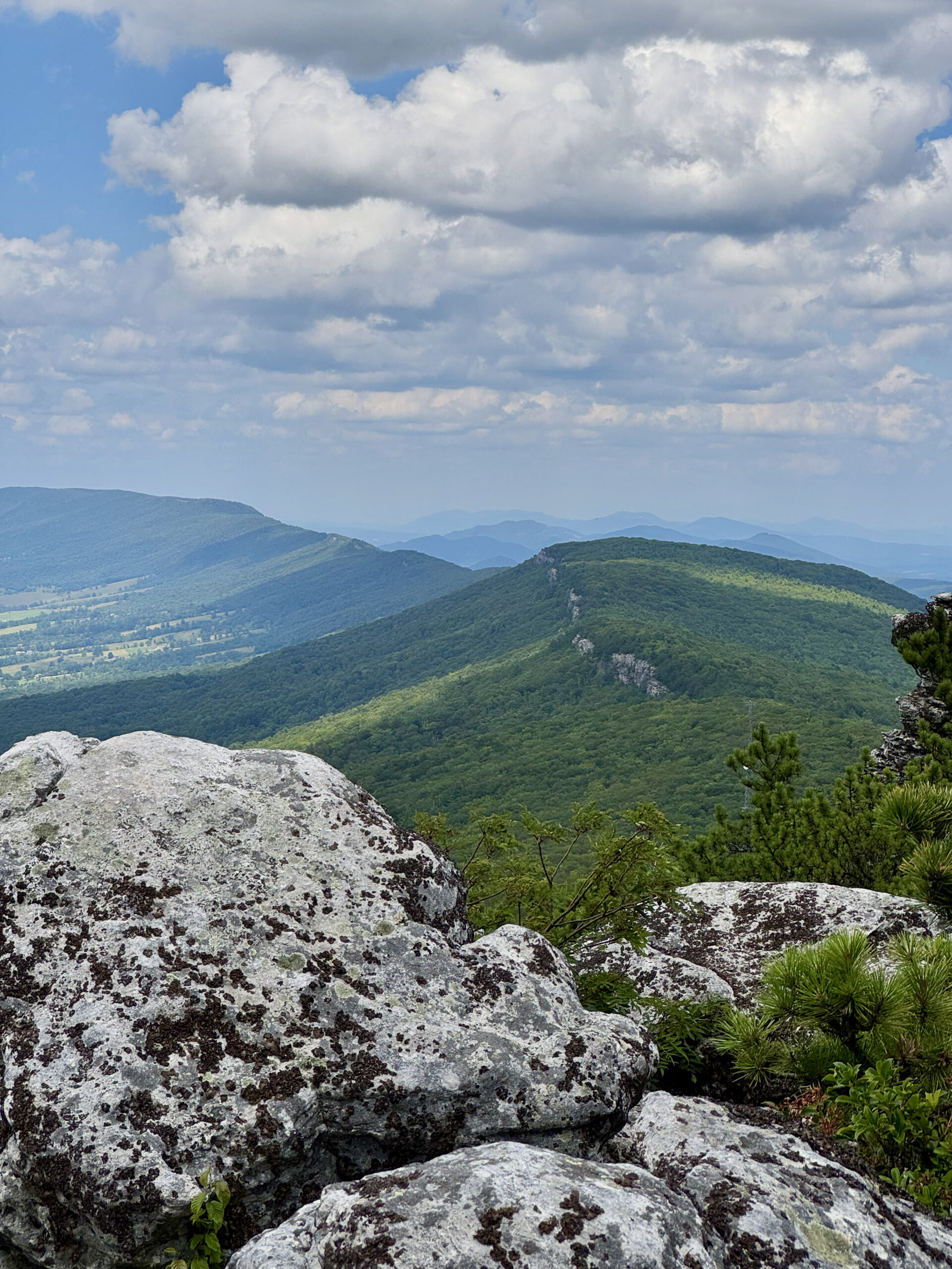
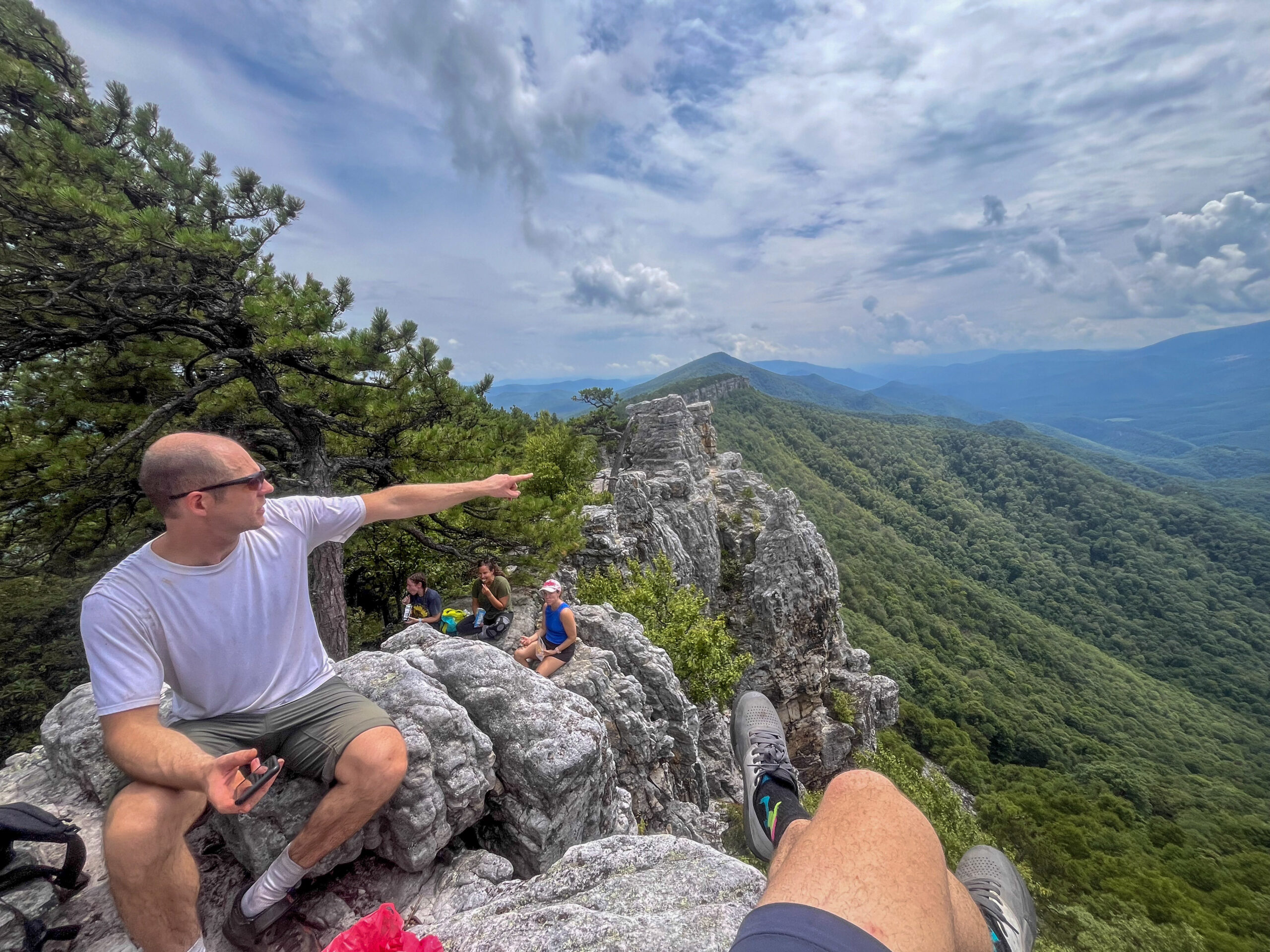
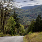
The exposed, ridgeline character of this trail makes for a demanding MTB overnighter—not for the faint of heart or anyone unwilling to embrace true Type-2 fun. The crown jewel of the loop is the North Fork Mountain Trail, widely regarded as one of the region’s premier hiking and trail-running routes and boldly taken on by experienced mountain bikers. Its northern terminus at Chimney Top delivers sweeping views along Pendleton County’s cliff-lined ridgeline, rivaling those from Seneca Rocks.
The trail offers frequent viewpoints overlooking Germany Valley to the west, along with scattered cliffside primitive camping opportunities. Above Seneca Rocks, a fire tower once stood prominently on the ridge crest. Just north of this area lies the ridge’s only reliable spring (38.859161, -79.313599; marked as a POI), along with an access road climbing from the east. An eastward bailout is possible via Redman Run Trail, but there is no legal descent west to Rt. 28/55 toward Seneca Rocks.
This loop variation begins at the southern trailhead on US Rt. 33, allowing the North Fork Mountain Trail to be ridden predominantly downhill and culminating in the extended, high-speed descent from Chimney Top to the parking area near Rt. 28. Climbing this section with a loaded bike (1,800 feet in 2.6 miles) is not recommended.
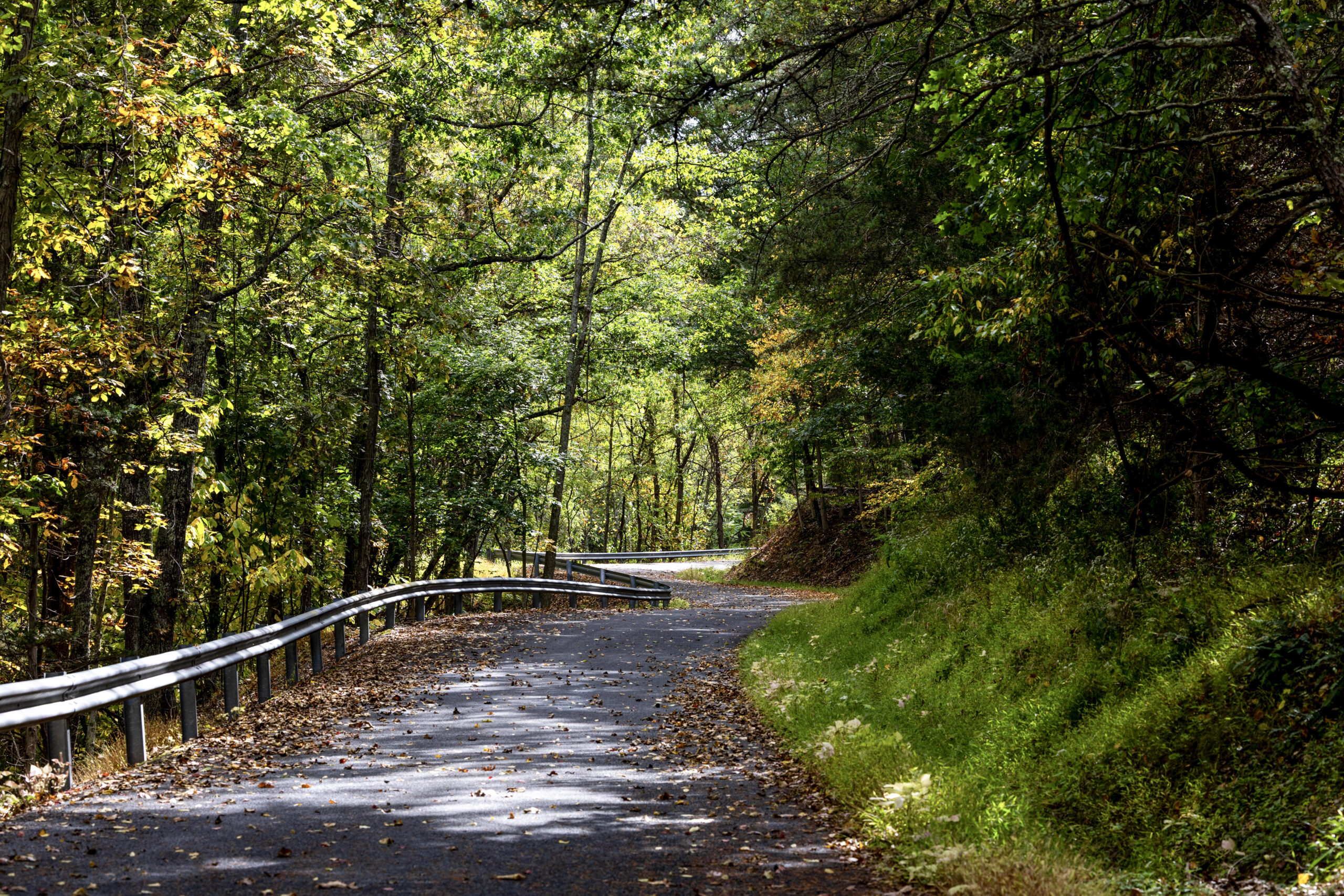
The return leg follows quieter miles along Smoke Hole Road, tracing the South Branch of the Potomac and Reeds Creek before reconnecting with busy Rt. 33. The final 2.7 miles climb 850 feet on pavement back to the ridgeline — a steady effort that requires mental focus with end-of-the-ride fatigue alongside traffic. Riders focused solely on the ridge experience may consider arranging a shuttle. The loop can be reversed, but the tradeoff is clear: hike a loaded bike up the steep trail, or climb the busy paved road at half the grade.
- Paved: 59%
- Gravel (Smooth & Rough combined): 0%
- 4×4 Road: 0%
- Singletrack: 41%
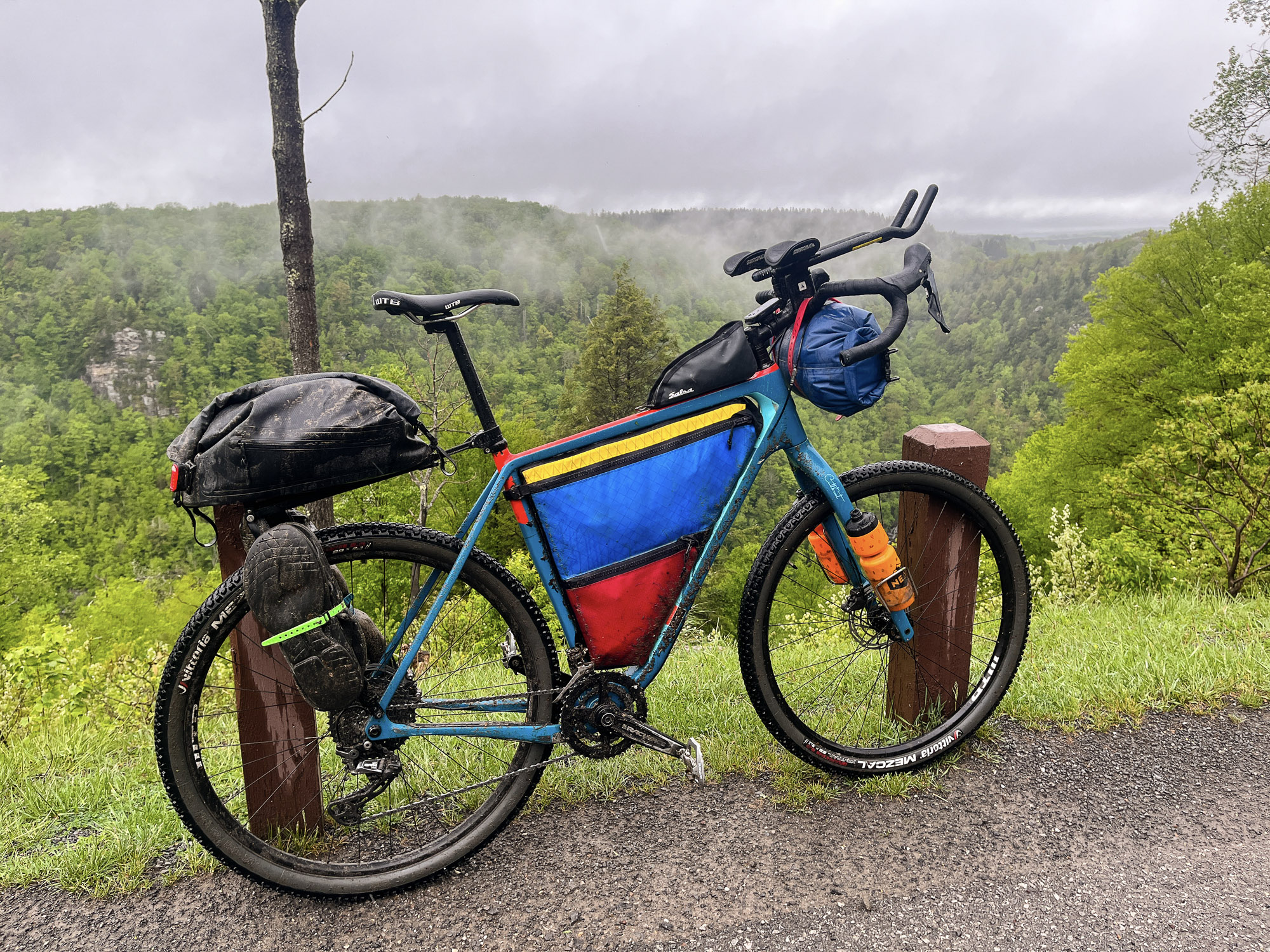
- This is a MTB route; you’ll want a mountain bike for the North Fork Mountain Trail
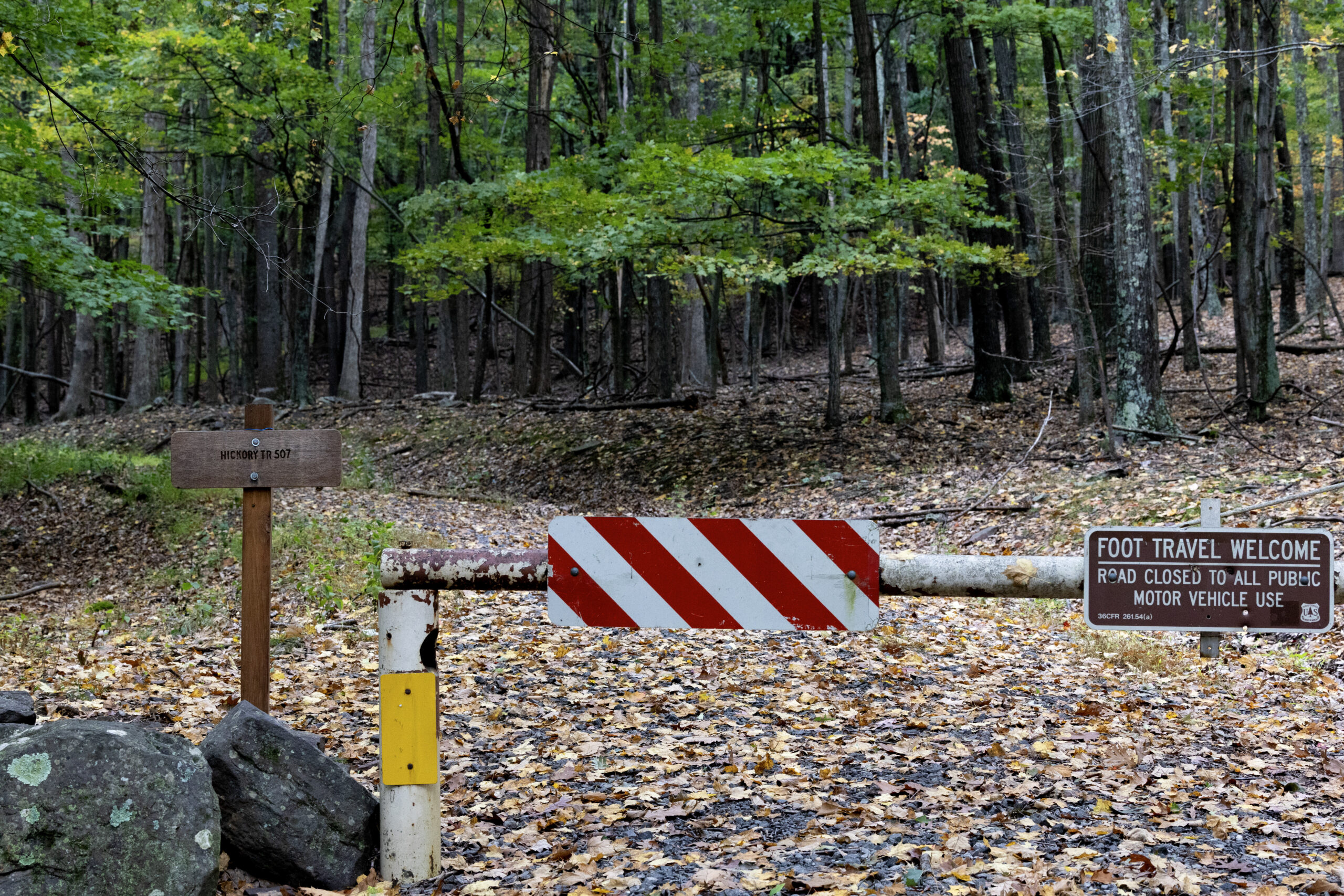
- Limited legal parking is available just off Rt. 33 near the communication tower at the mountain pass and southern trailhead.
- Plan water carefully. Only one spring exists along the ridge (save coordinates or use offline maps), with another reliable spring along the road just north of the Rt. 28 parking area.
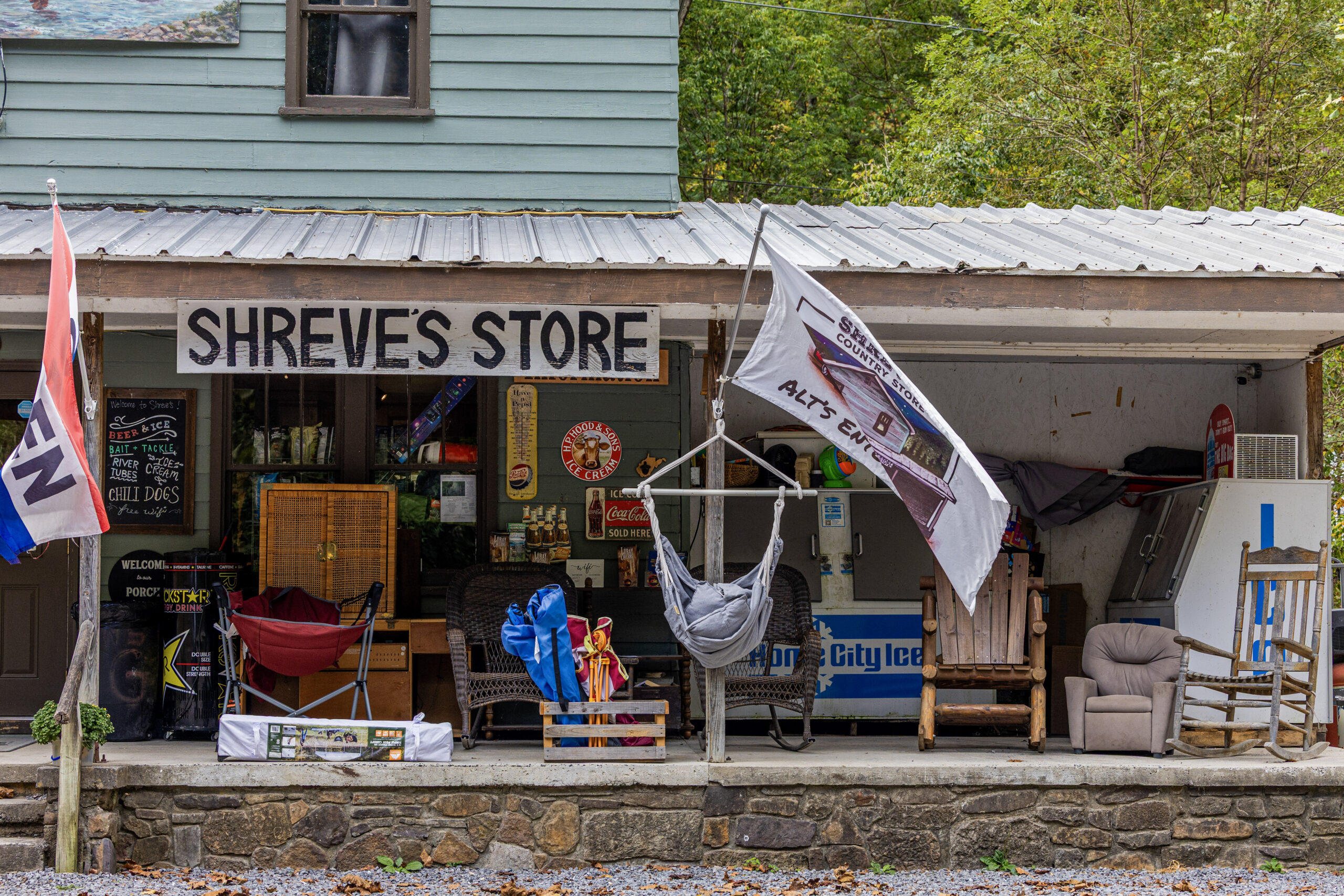
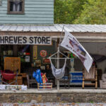
- Shreve’s Country Store sits at mile 35. Big Bend Campground and abundant fishing access are available nearby.
- Refer to route POIs and this Resupply Spreadsheet for more information on camping, lodging and re-supply along the route.
Find more information to prepare for your Mon Forest adventure on the main network page.
We acknowledge that the lands now known as the Monongahela National Forest are the ancestral homelands of Indigenous peoples, including the Haudenosaunee (Seneca), Shawnee, Lenape (Delaware), and Myaamia, who stewarded these mountains and rivers for generations. We honor their enduring connection to this land and recognize that their histories and cultures continue today, and we offer this acknowledgment with respect and gratitude.
Please be sure to get in touch with any updates on route conditions that may be relevant to other riders.
Please submit your questions and comments on the route via the contact form below.
The project was developed collaboratively with regional partners including:
- Village to Village Trails (V2V) – route design and mapping led by regional route builder David Landis with Geoff Patterson, Jonny Ramirez, and numerous local riders providing route design support, feedback and documentation.
- MountainRides WV – local cycling advocacy and community outreach led by GRUSK race director Travis Olson
- Bikepacking Roots – national nonprofit supporting route stewardship and bikepacking access led by Noelle Battle
Route photography contributed by Jonny Ramirez, Wild Hare Media, David Landis, and Geoff Patterson.

This route is a part of the Mon Forest Gravel & Bikepacking Route Network, a project of the Mon Forest Towns Partnership created by Village to Village Trails, Mountain Rides WV, and Bikepacking Roots.