Route Overview
Region
Miles
Days Out
Recommended Tire Size
Season
Elevation Gain
Difficulty
5.5/10 Technical
Primary Surface(s)



Route Map
Route Details
The Mon Circuit 600 is the most ambitious route in the Mon Forest bikepacking collection—a true grand tour linking all twelve Mon Forest Towns into one continuous, unforgettable journey. With over 50,000 feet of climbing and crossing three of West Virginia’s highest peaks, it’s designed for riders seeking a challenging, immersive experience.
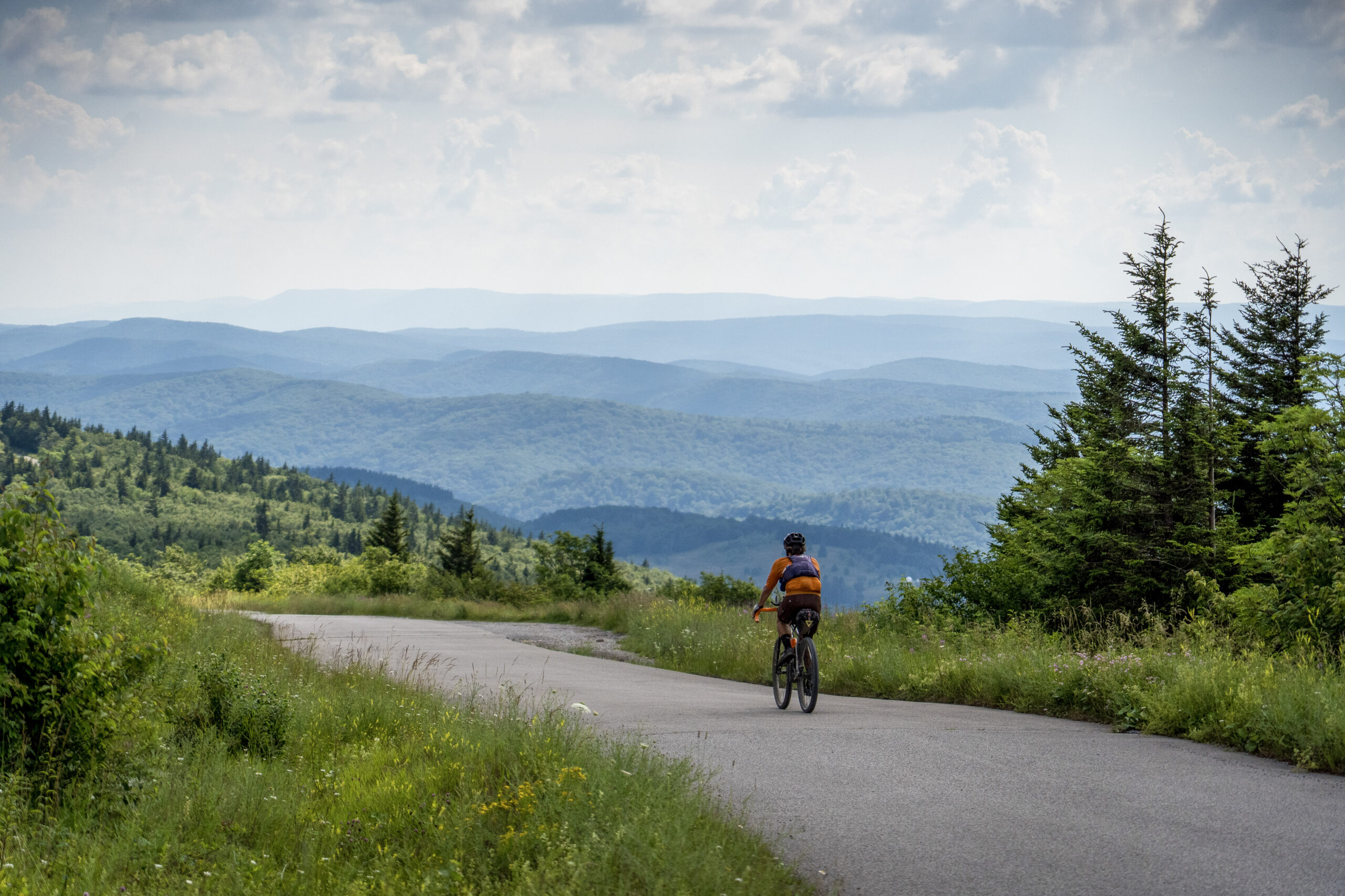
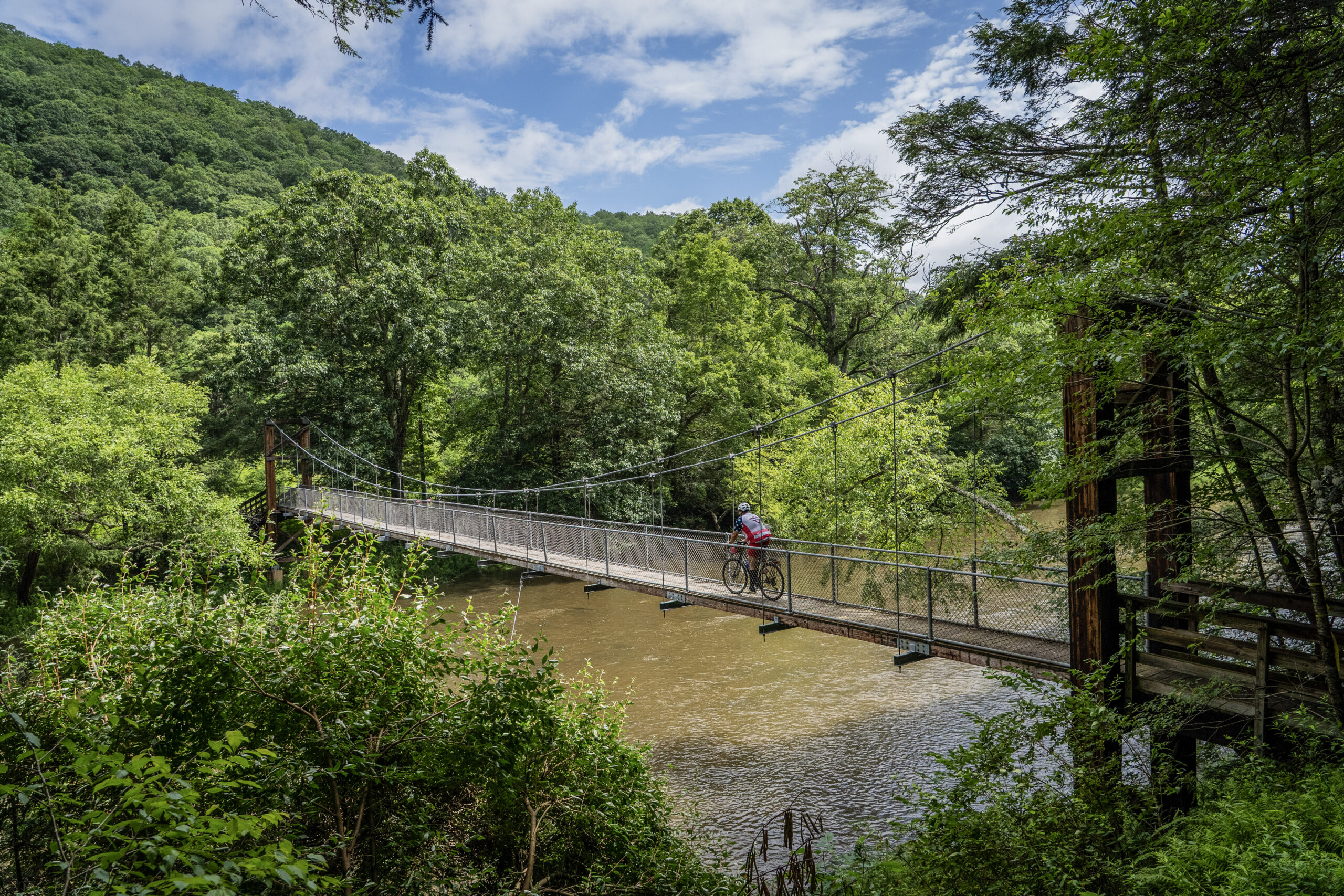
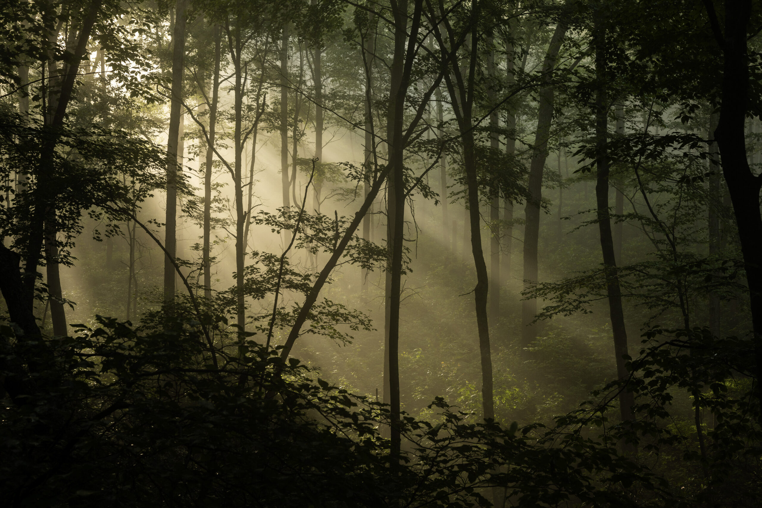
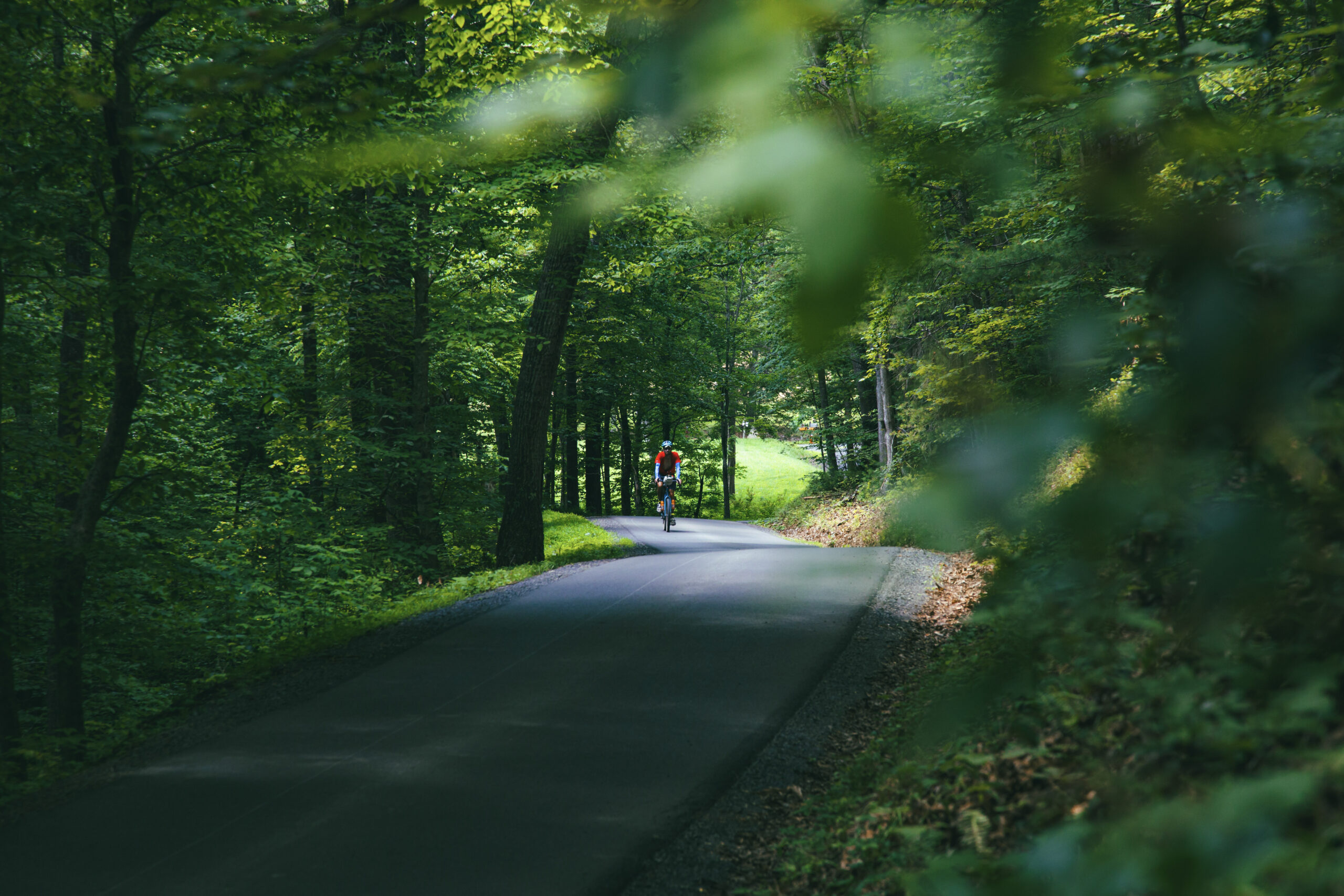
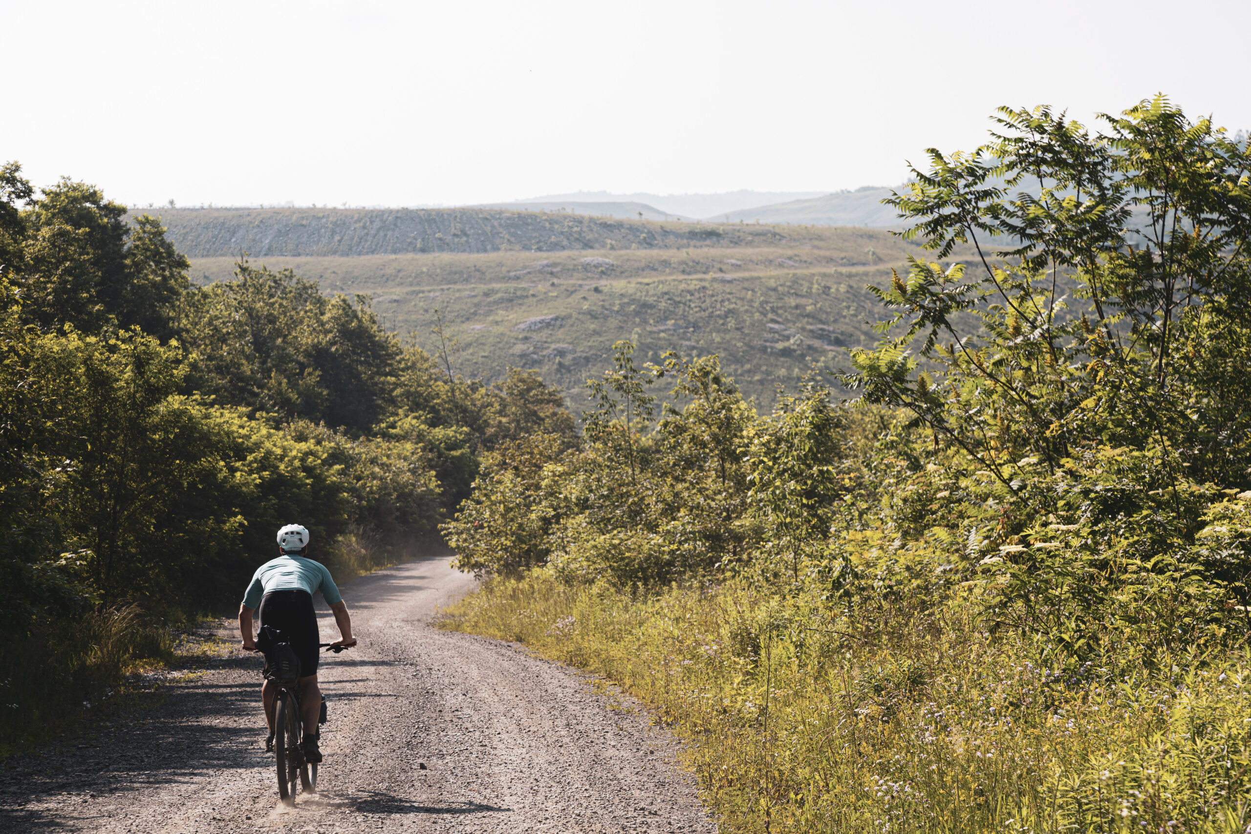
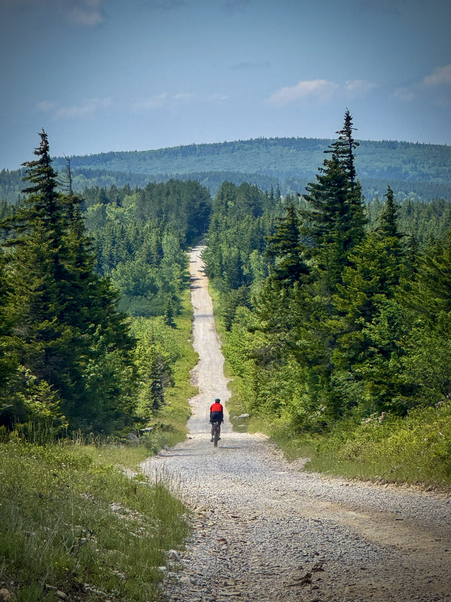
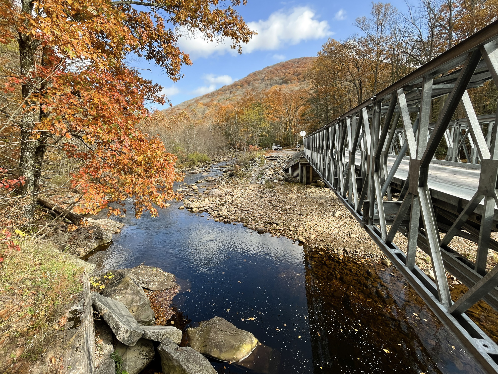
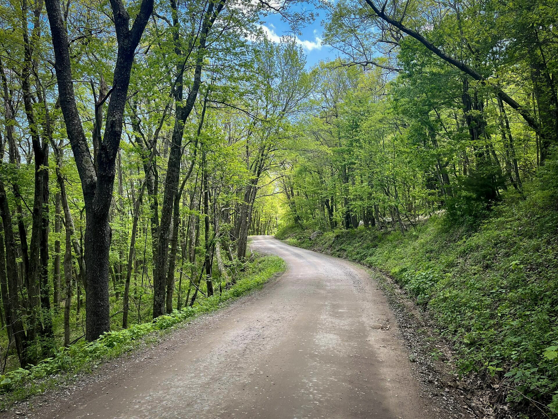
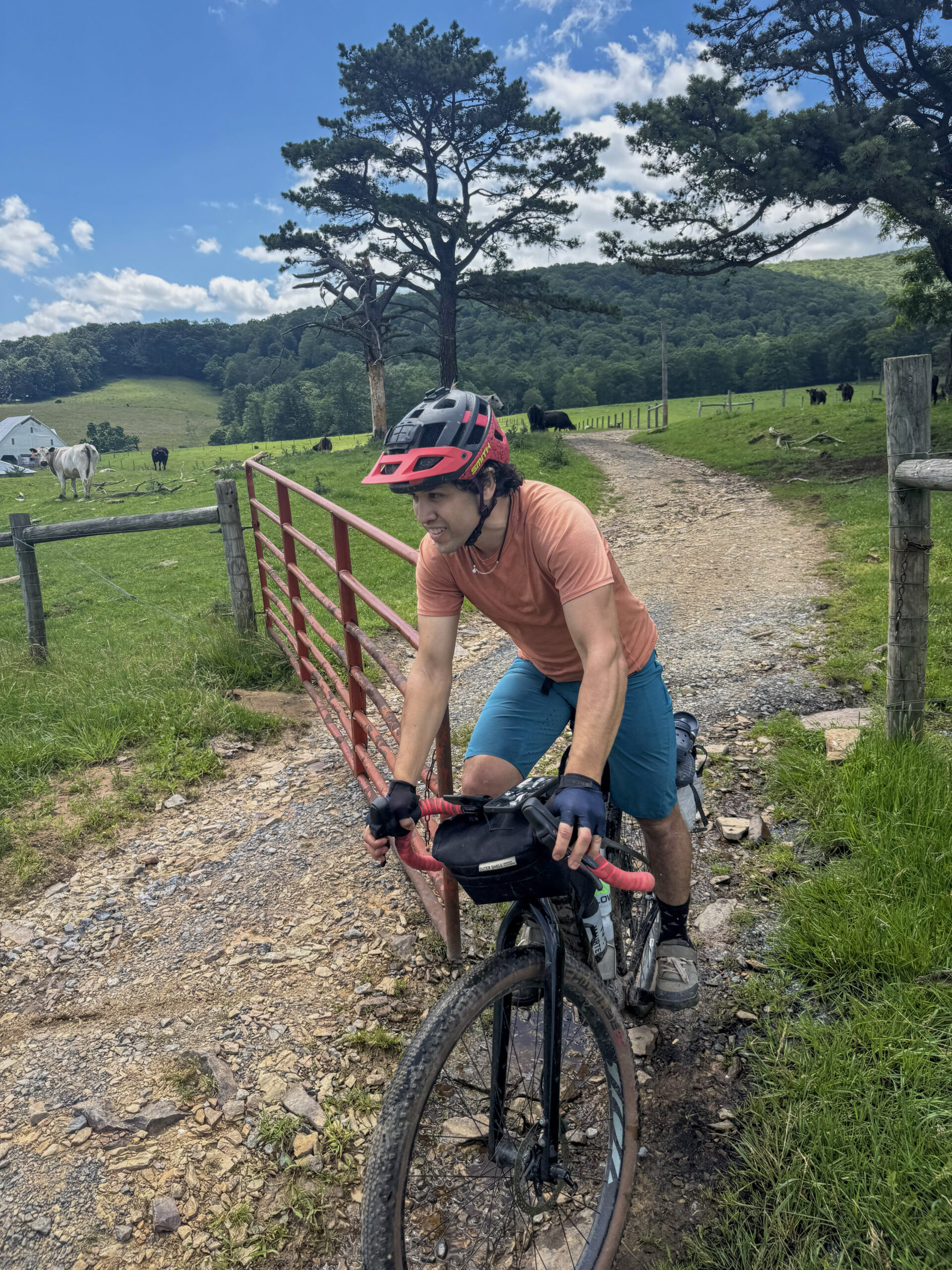
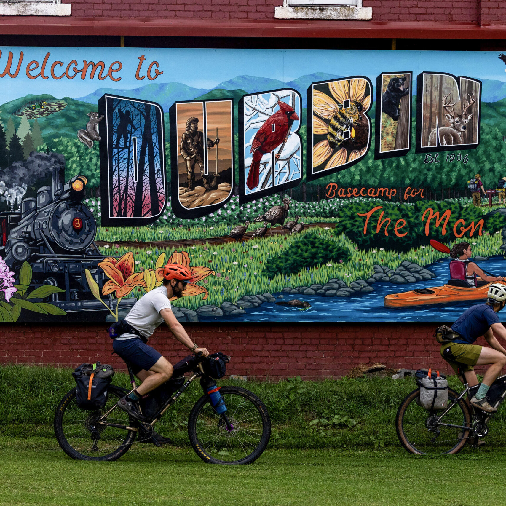
Defined by long ridgeline gravel, punchy climbs along the Eastern Continental Divide, and extended stretches of backcountry solitude, the route captures the essence of the Mon. Woven throughout the journey is the region’s deep railroad and timber heritage—grades once carved for logging rail lines now form gentle corridors through remote valleys, while towns like Durbin, Richwood, and Elkins echo that legacy. Expect quiet forests, high ridges, and cool mountain air even in the heat of summer. Along the way, you’ll find rivers, swimming holes, and abundant opportunities for dispersed camping beneath star-filled skies.
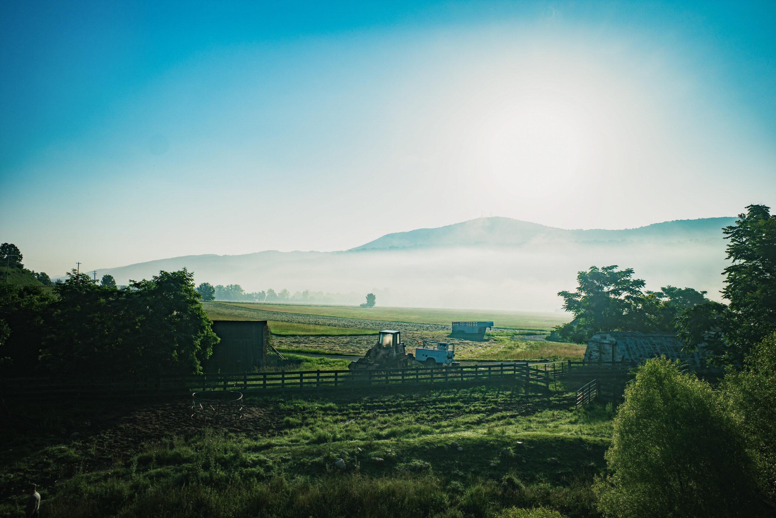
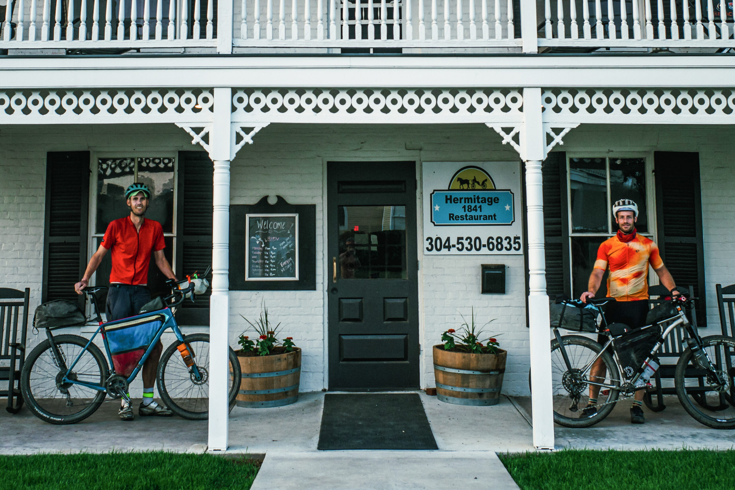
Each of the twelve towns creates a natural rhythm to the ride—places to resupply, rest, and reset before heading back into the mountains. From small-town main streets to remote mountain communities, these stops add depth and humanity to an otherwise wild landscape.
The route begins in Elkins and unfolds as two large loops connected by the Greenbrier River corridor at Marlinton. Heading south first, riders trace the high ridges west of the divide before descending into the Greenbrier River Valley. From there, the route climbs back into the rugged heart of the Cranberry River Corridor to reach Cowen and Richwood, then returns to the valley before arcing north through White Sulphur Springs to complete the southern loop.
Turning north, the terrain shifts again, rolling past Green Bank and Durbin, then into the remote Laurel Fork region before climbing to Spruce Knob, the highest point in West Virginia. East of the divide, the route drops dramatically to Seneca Rocks, traverses the sweeping expanse of Germany Valley, and tackles the climb over North Fork Mountain via Pike Knob into Franklin. From there, quieter roads traversing ridgelines lead toward the Potomac headwaters near Petersburg.
The final stretch rises onto the high plateau of Dolly Sods, where windswept ridgelines and open vistas define the riding. From here, follow the Eastern Divide into Canaan Valley, pass through the vibrant mountain towns of Davis and Thomas, and descend through Blackwater Canyon to Parsons. The route closes with a gentle return along Shavers Fork back to Elkins, completing the full circuit.
- Paved: 46%
- Gravel (Smooth & Rough combined): 47%
- 4×4 Road: 5%
- Singletrack: 2%
- High Elevation Conditions: Many sections of this route exceed 4,000 feet, with significantly cooler temperatures than the valleys below. In shoulder seasons, freezing temperatures and snow are not uncommon.
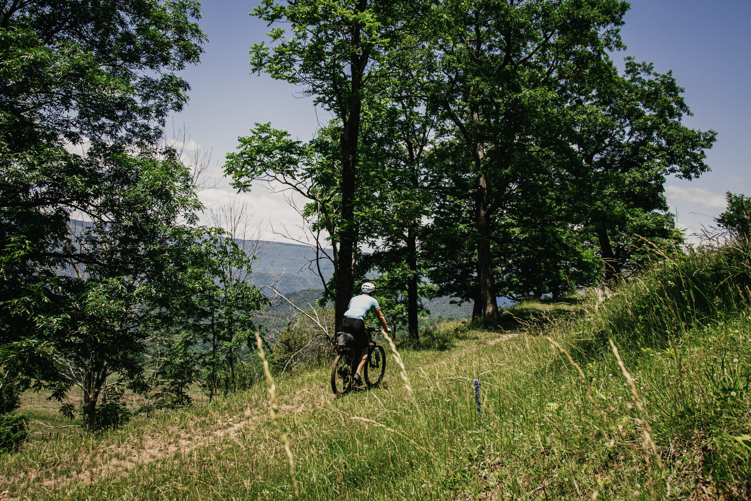
- Route Surfaces: This is a true mixed-surface route. Gravel roads form the backbone, with shorter segments of singletrack (green) and 4×4 doubletrack (orange) throughout. Route colors also indicate rail trails (blue) and busier paved roads (dark gray).
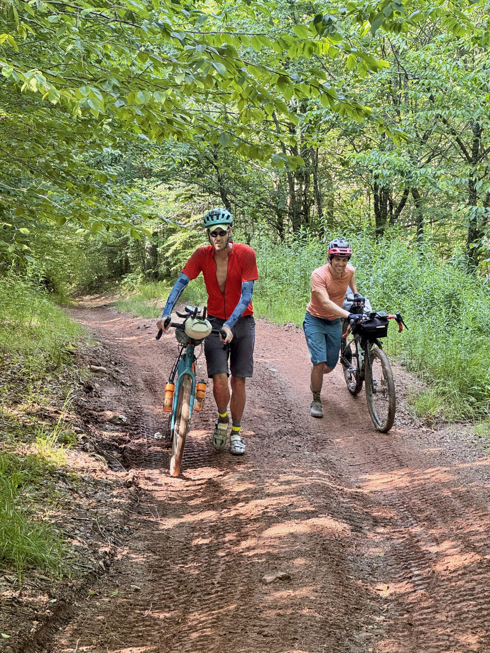
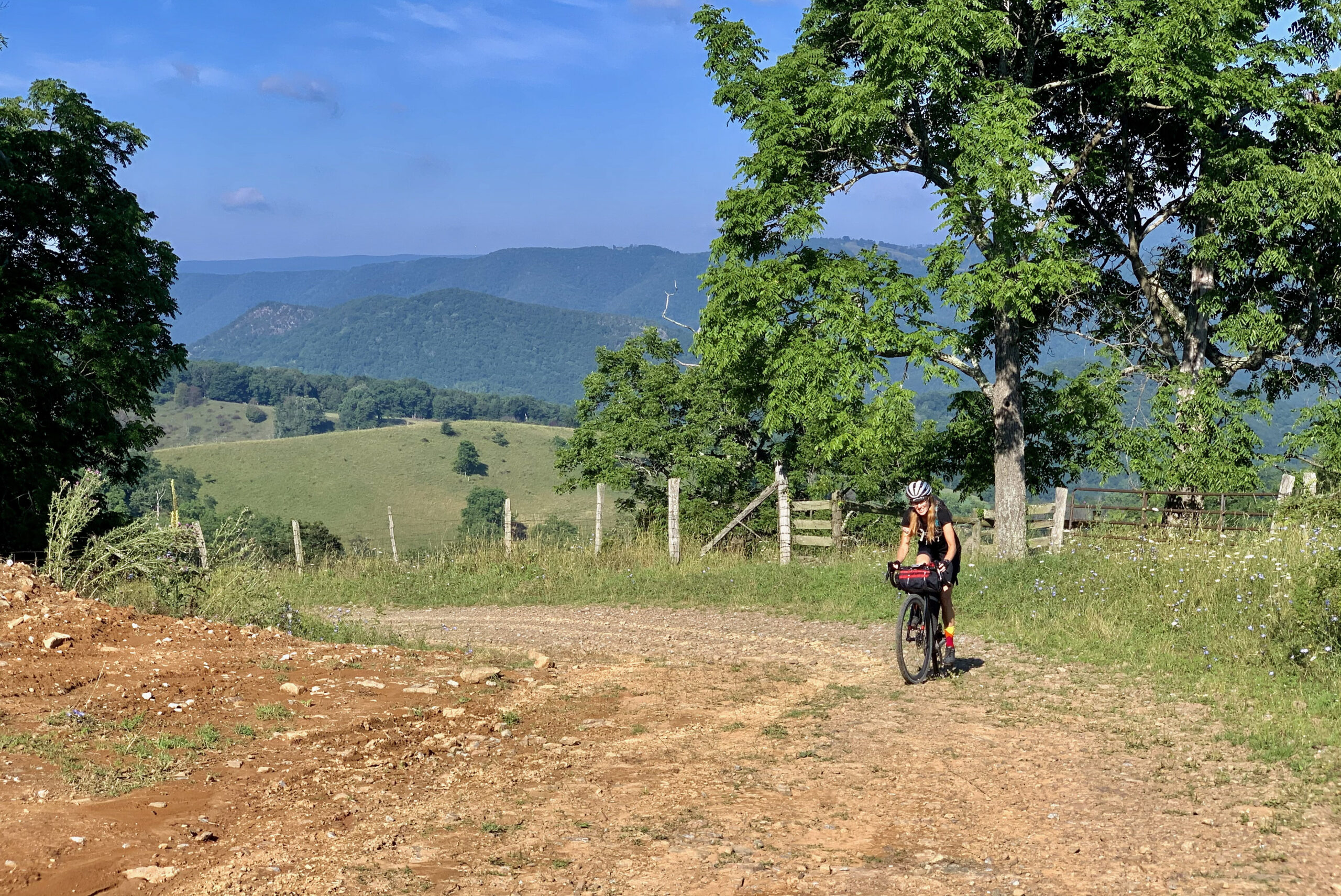
- Climbing Gearing & Bike Setup: Steep, sustained climbs are a defining feature of this route, with grades frequently exceeding 10%. Low, MTB-style gearing is strongly recommended. While a mountain bike isn’t required, a hardtail—or a gravel bike with a similarly low gear range (Tour Divide-style setup)—will provide a more comfortable and efficient ride.
- Tire Choice: Most bikepackers will be happiest on 50mm (2.0–2.2”) tires. Riding on 40mm tires is possible but expect additional hike-a-bike (HAB) on rougher sections.
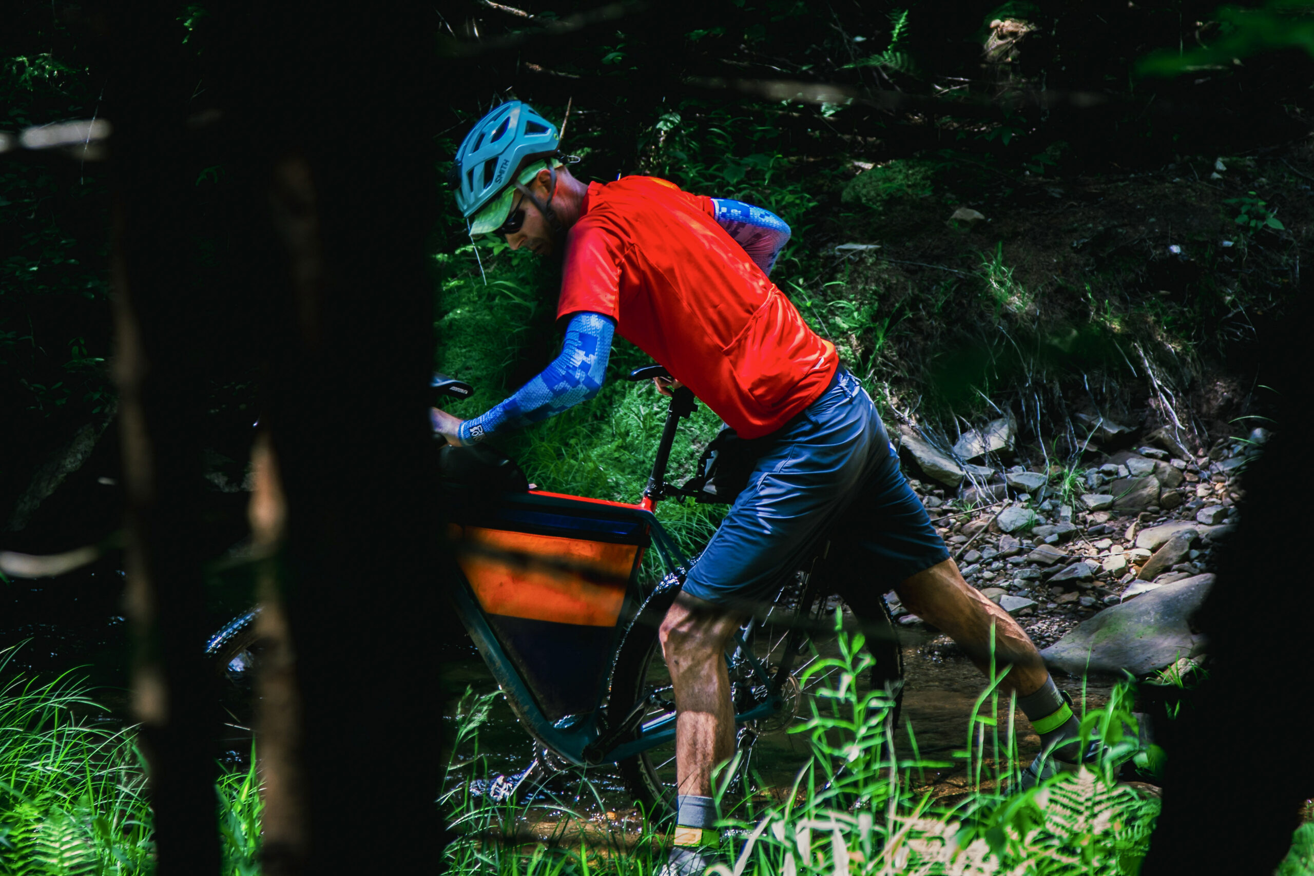
- Water: Natural water sources are plentiful, including streams and roadside springs. Check route map POIs for reliable locations and carry a water filtration system.
- Camping & Lodging: Dispersed camping is widely available across the Mon, along with private campgrounds, hotels, guesthouses, and B&Bs in and near towns. Refer to route POIs and resupply notes for more information.
- Road Awareness: To connect all twelve Mon Forest Towns, the route includes a few longer stretches on busier paved roads. While these segments have been thoughtfully chosen, ride defensively—wear bright colors and consider using lights and/or vehicle radar to increase visibility and safety.
- Alternate Route Option: A shorter 440-mile version of the circuit focuses on the core of the Mon Forest, connecting 8 of the 12 Mon Forest Towns. This option is ideal for riders with limited time or a stronger preference for unpaved riding, increasing gravel to ~66% (vs. 54%) while reducing paved connectors and associated traffic.
Find more information to prepare for your Mon Forest adventure on the main network page.
We acknowledge that the lands now known as the Monongahela National Forest are the ancestral homelands of Indigenous peoples, including the Haudenosaunee (Seneca), Shawnee, Lenape (Delaware), and Myaamia, who stewarded these mountains and rivers for generations. We honor their enduring connection to this land and recognize that their histories and cultures continue today, and we offer this acknowledgment with respect and gratitude.
Please be sure to get in touch with any updates on route conditions that may be relevant to other riders.
Please submit your questions and comments on the route via the contact form below.
The project was developed collaboratively with regional partners including:
- Village to Village Trails (V2V) – route design and mapping led by regional route builder David Landis with Geoff Patterson, Jonny Ramirez, and numerous local riders providing route design support, feedback and documentation.
- MountainRides WV – local cycling advocacy and community outreach led by GRUSK race director Travis Olson
- Bikepacking Roots – national nonprofit supporting route stewardship and bikepacking access led by Noelle Battle
Route photography contributed by Jonny Ramirez, Wild Hare Media, David Landis, and Geoff Patterson.

This route is a part of the Mon Forest Gravel & Bikepacking Route Network, a project of the Mon Forest Towns Partnership created by Village to Village Trails, Mountain Rides WV, and Bikepacking Roots.