Segment Overview
Route Creator
Miles
Days Out
Recommended Tire Size
Season
Elevation Gain
Difficulty
4/10 Technical
Primary Surface(s)
Rough Gravel


Route Map
Route Details
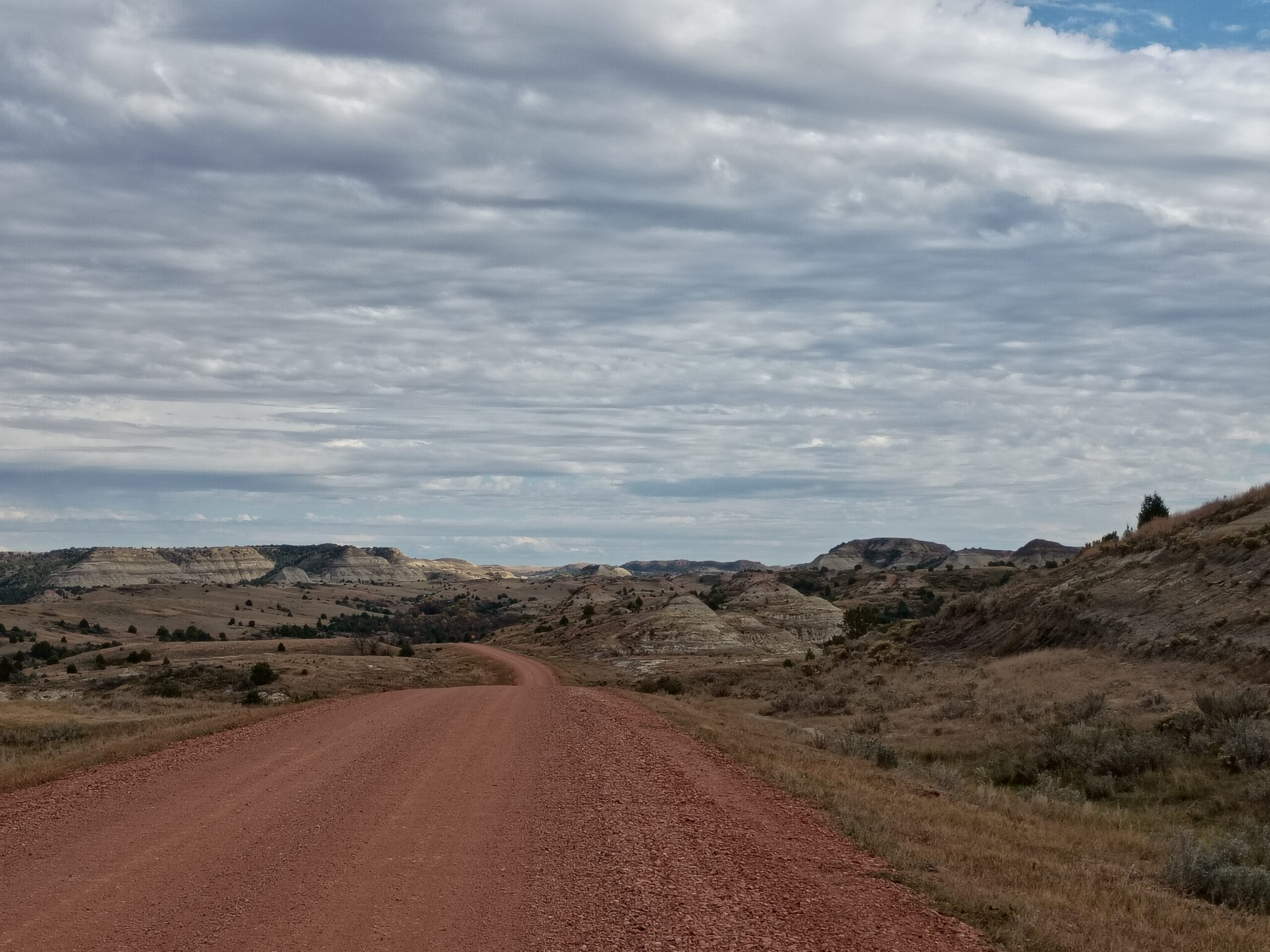
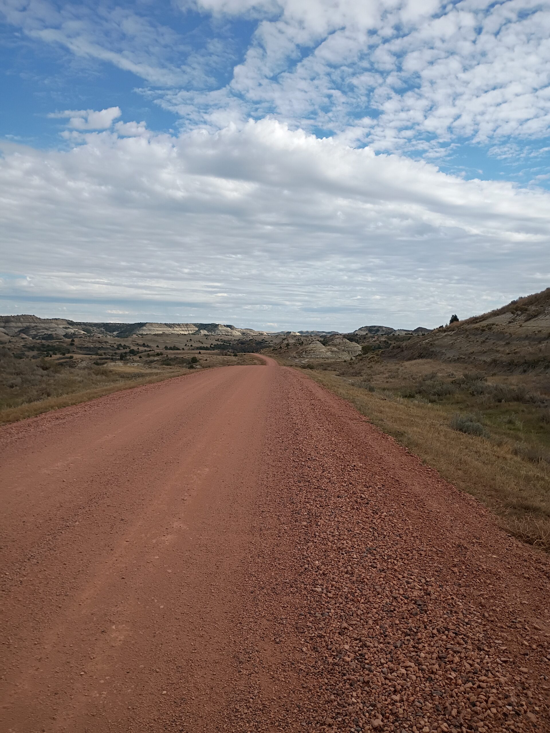
This hopelessly lonely and desolate route is two parts remote, easy rolling, smooth prairie roads and one third stunningly beautiful and rugged red scoria gravel roads diving deep into the North Dakota Badlands’ desert prairie backcountry terrain, where Teddy Roosevelt once said if he had to forget all his memories, save one, he would choose to remember his time in these North Dakota Badlands.
If you can spare the time, plan to spend a little extra time in and around Medora. At the very least, stop by Dakota Cyclery, the only bicycle shop on the entire route, and say hi to the longtime owners, Jen & Loren Morlock. The Medora Musical, Cowboy Hall of Fame and Theodore Roosevelt National Park are all worth seeing as well. And the world-class Teddy Roosevelt Presidential Library with open on July 4th, 2026, the 250th anniversary of the USA.
Your time spent in the North Dakota, especially the Badlands, will be very meditative, healing, adventurous and inspiring.
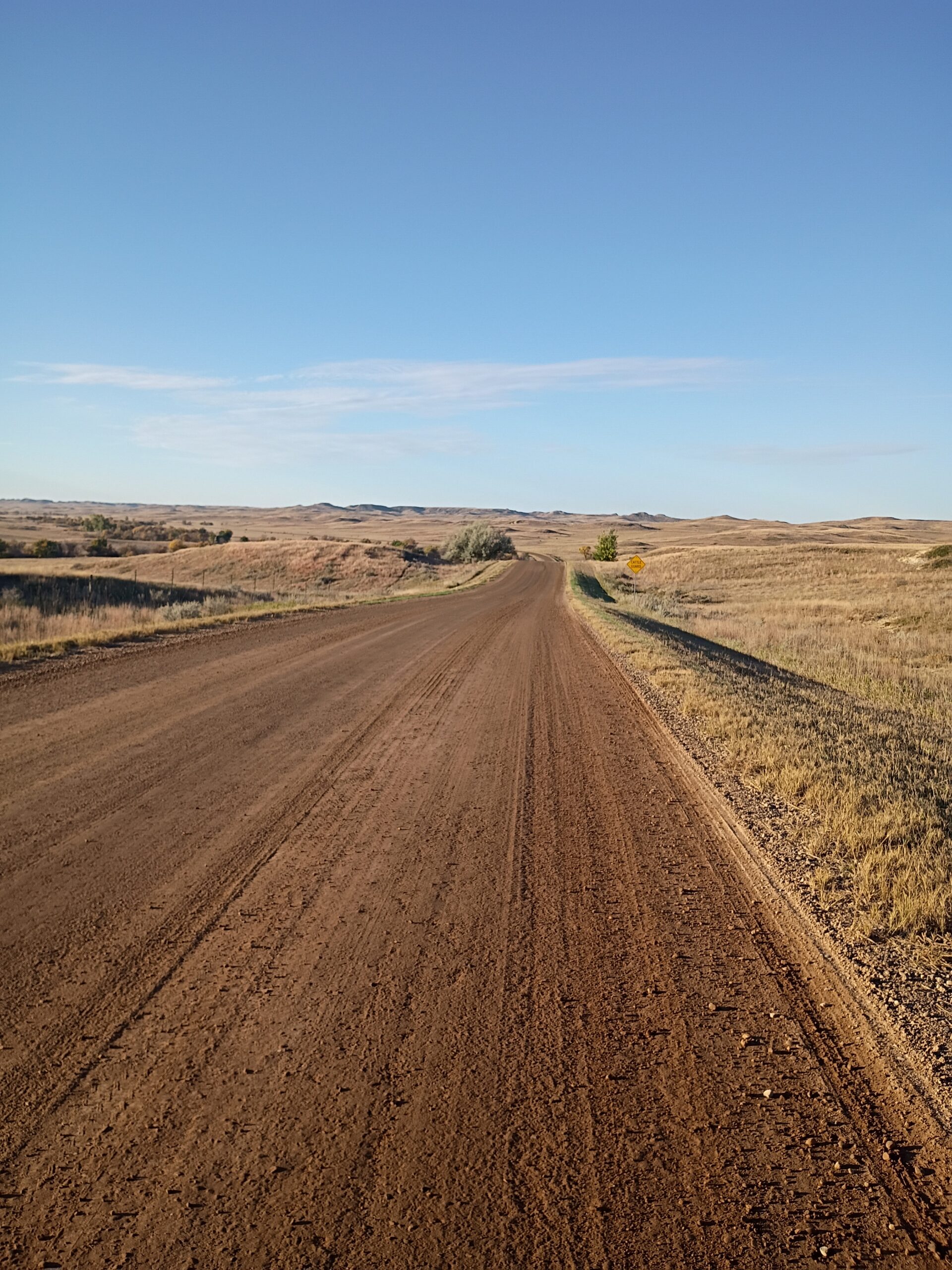
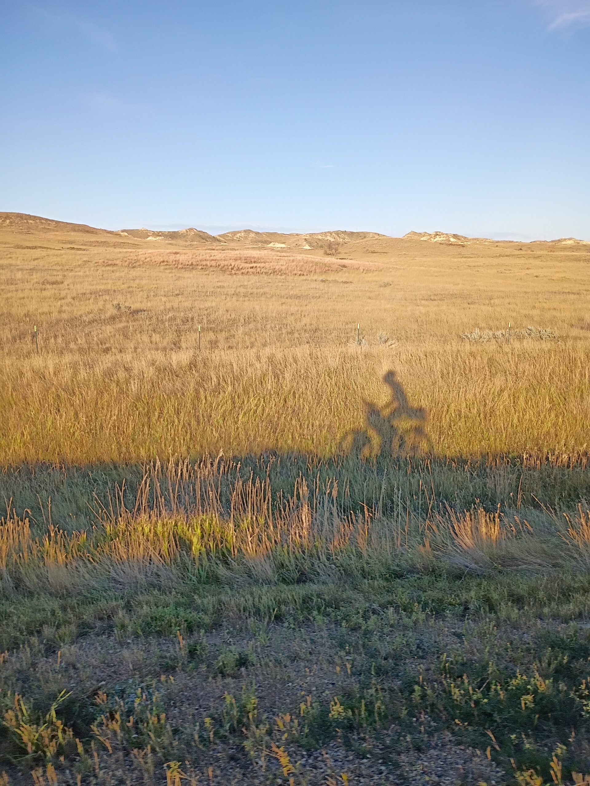
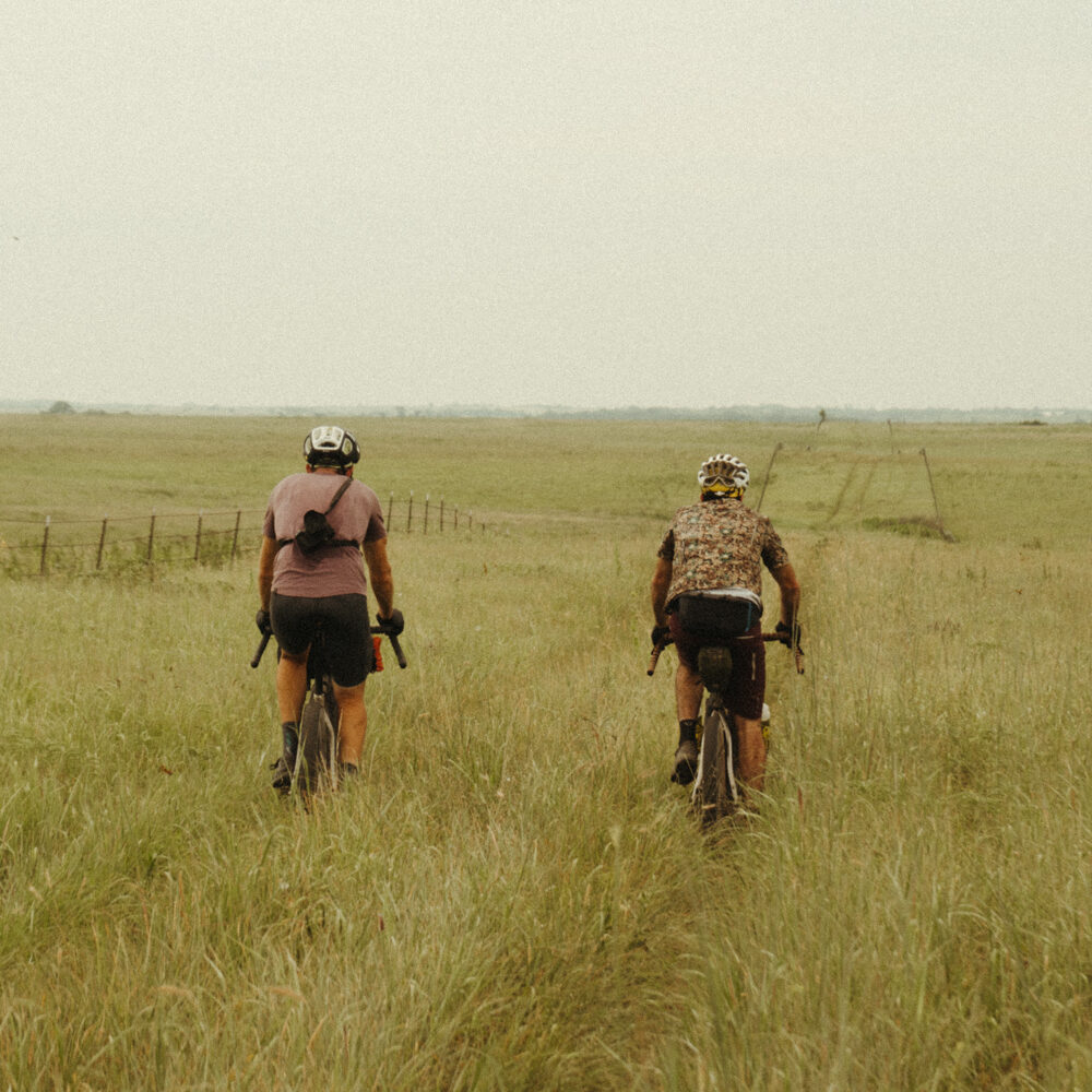
The North Dakota route begins on flat and rolling prairie. The gravel is pale and packed firmly over rich glacial soils. Short prairie grasses mixed with yellow sweet clover dominate most of the public pastures, untouched by modern agriculture. Cattle ranches and farmsteads dot the landscape, with cows grazing fenced pastures and the occasional wheat fields that sway in the breeze.
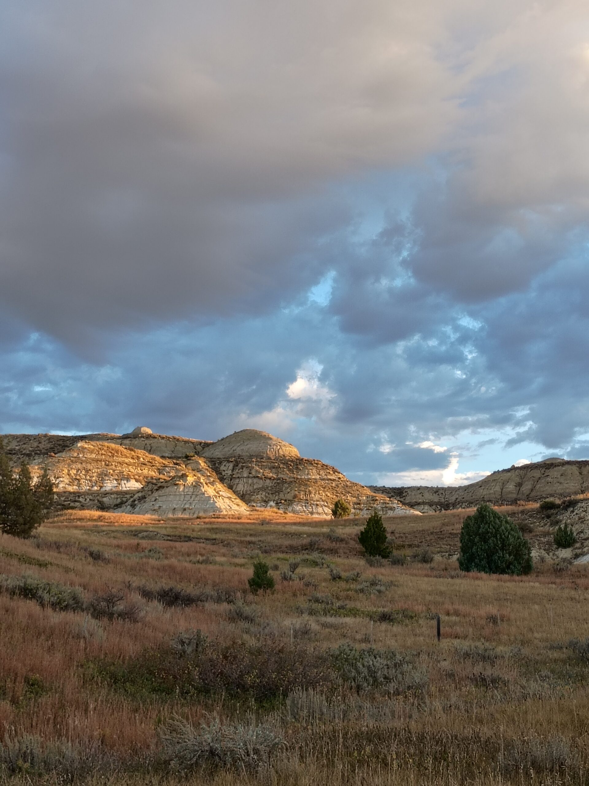
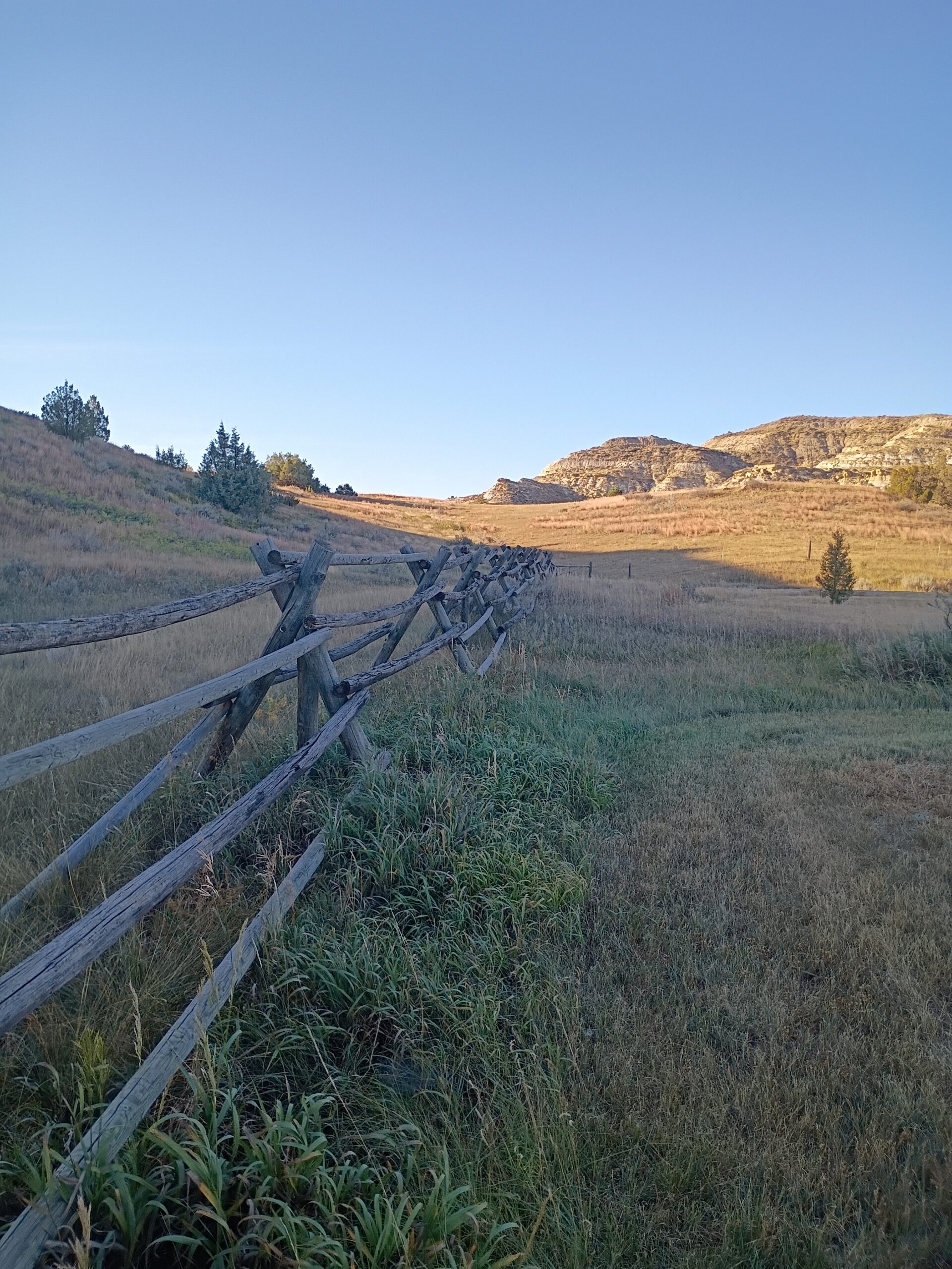
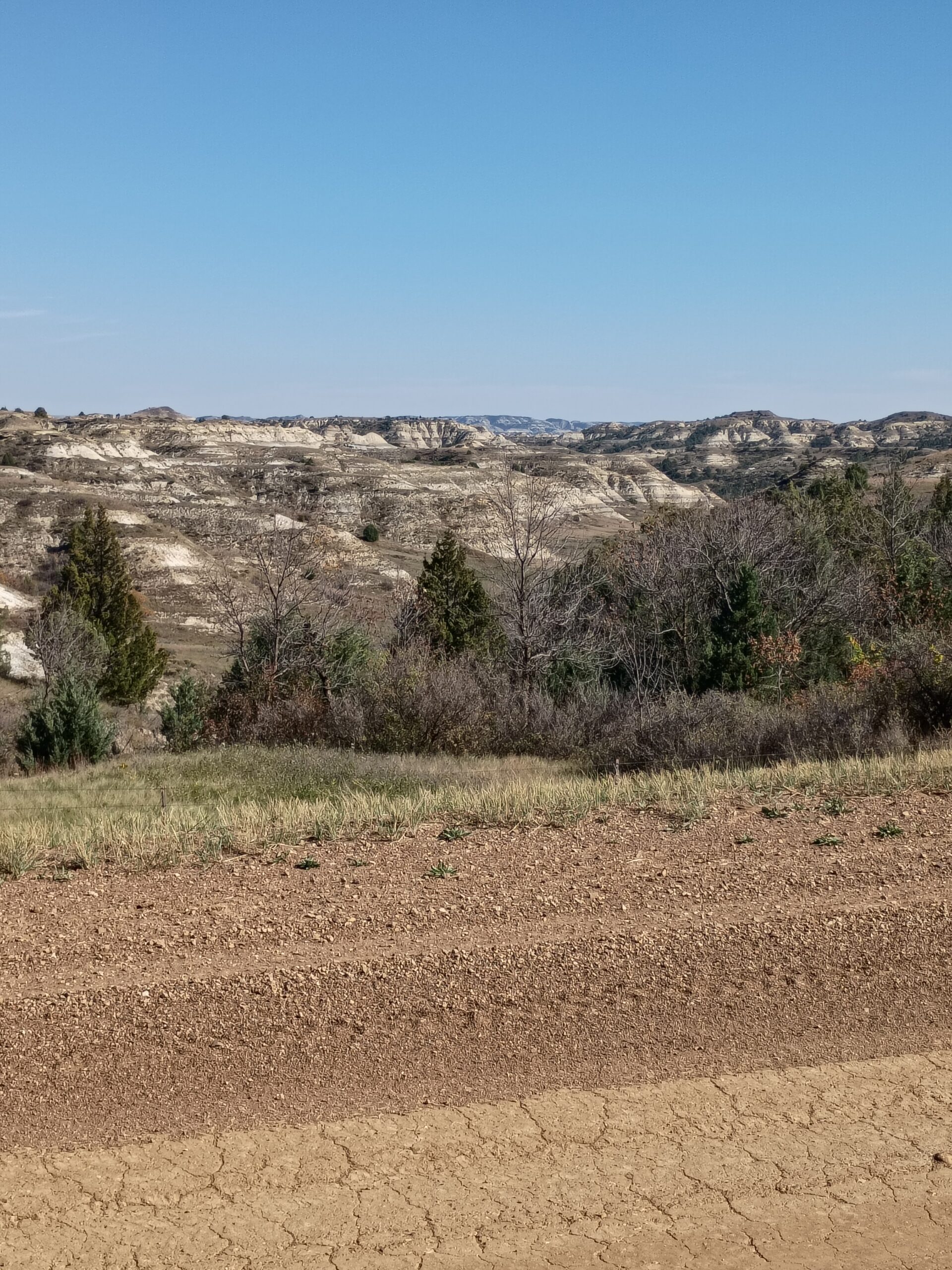
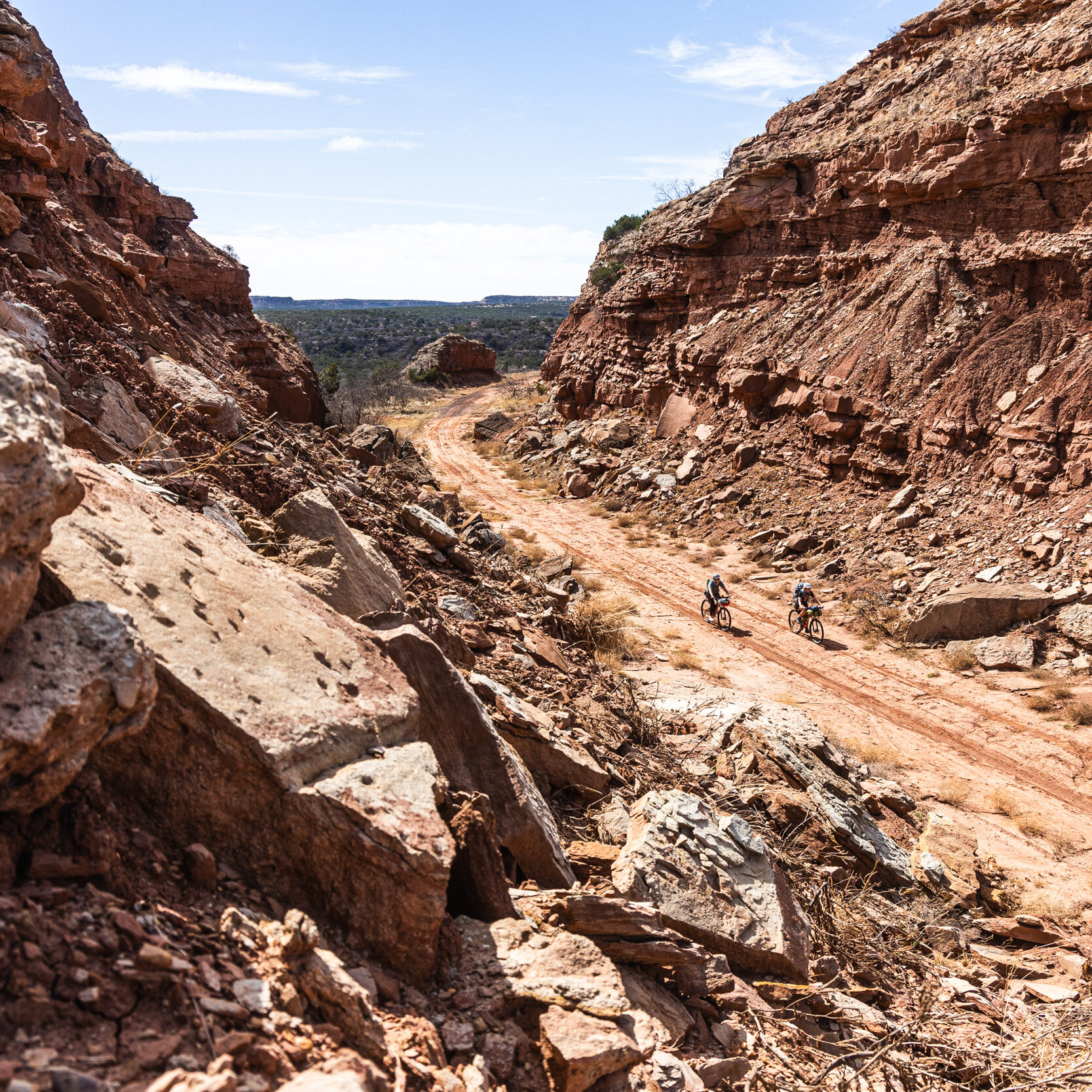
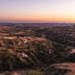
Soon, the terrain morphs into the unmistakable North Dakota Badlands. First subtle and then jagged buttes and gullies of clay, sandstone, and shale in reds and grays, and sometimes hues of purples and pinks in the soft light of the rising or setting sun. The gravel coarsens and reddens, twisting through steep climbs and descents. Every punishing uphill is rewarded with a seemingly equal and opposite downhill prize. Ranching persists, but crops vanish; the land here is too harsh for farming. The prairie grasses embrace the desert terrain, mixing with yuccas, prickly pear cactus, juniper trees, and sagebrush. Giant cottonwoods hug the Little Missouri River bottoms.
Campgrounds become more common and serve as trailheads for the infamous Maah Daah Hey Trail System. Feel free to escape the wide scoria gravel roads to adventure onto the well-loved Badlands single track trail that parallels and crisscrosses the Great Plains Gravel Route for over a hundred miles. Just when you think you are truly and hopelessly lost in the middle of nowhere, you roll into the one oasis in the middle of the North Dakota Badlands. The romantic cowboy town of Medora, North Dakota. Use it as a quick resupply or hang around for a bit and enjoy the rich history, juicy hamburgers, and ice-cold drinks. It is a very, very lonely route from here to the Canadian border.
The second half of the North Dakota Badlands has the same red roads, but they get a little steeper and deeper. You will pass the only location in North Dakota with bolted climbing routes, Square Butte, which is open for dispersed camping if you are willing to brave the short but super steep two-track climb to the top. Dozens of miles and a few campgrounds later and you will pass by Elkhorn Campground. Where Teddy Roosevelt famously said the romance of his life began. Later in life Teddy also said that if he were forced to forfeit all his memories, save one, he would choose to remember the time he spent on his Elkhorn Ranch in the North Dakota Badlands. That might be just enough incentive to stay here a night and watch the buttes turn purple.
Once you leave the Little Missouri National Grasslands, the Badlands flatten into rolling prairie once again, gravel blending with dirt patches and crossing the occasional pavement. Before there were fences, telephone poles, and roads here, Roosevelt described this section of the North Dakota prairie as feeling lonelier and more desolate than being lost at sea. Agriculture shifts, but ranching remains. Hayfields for cattle feed appear, bales stacked golden, alongside sparse barley or oat patches suited to the dry climate. Beware that summer temps can often reach triple digits, and water can be very sparse in this area.
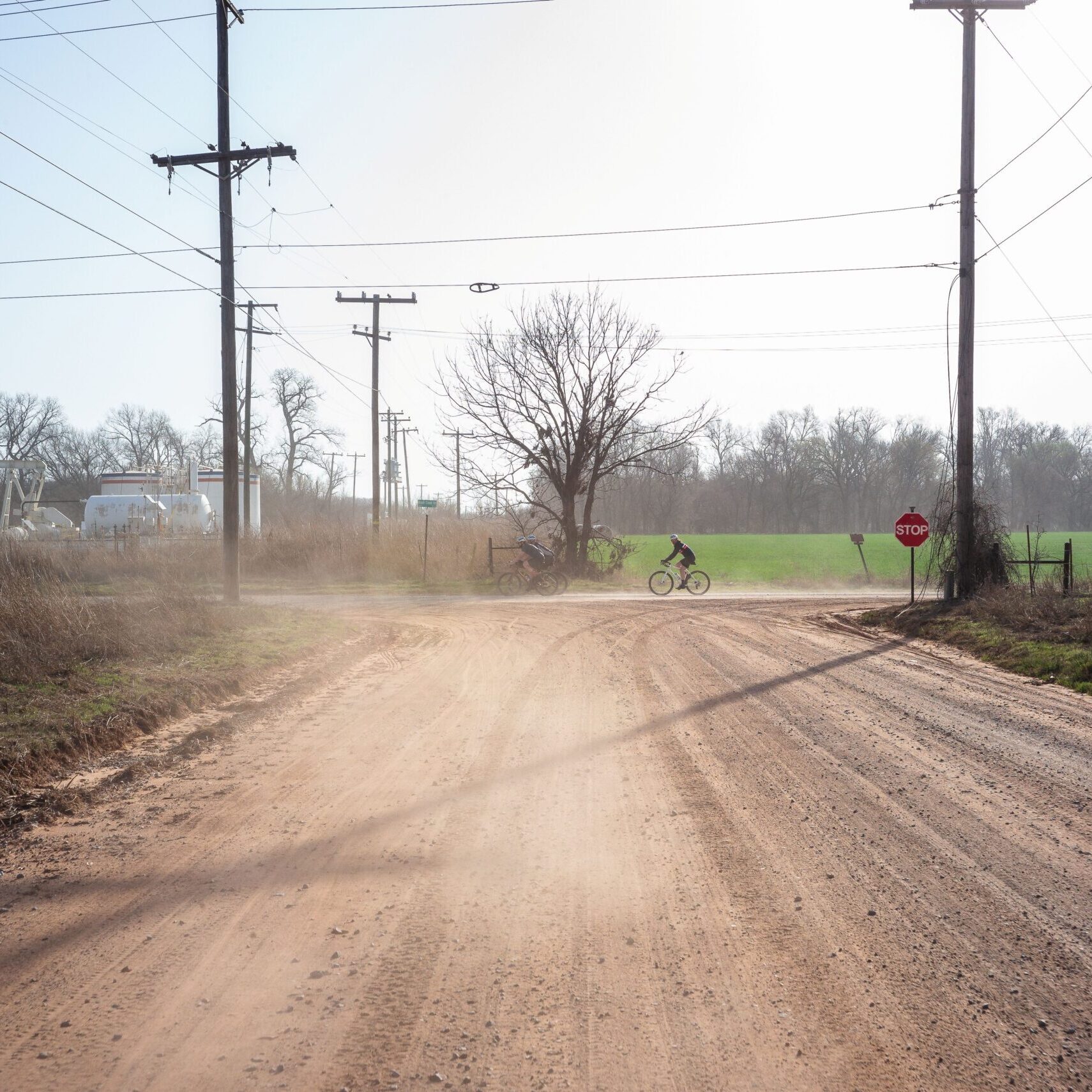
From here the terrain levels into fertile plains, with scattered waterfowl habitat. The gravel gets finer and the roads get straighter. Agriculture intensifies with intermittent sunflower fields and canola fields glowing yellow, durum wheat ripens golden. Cattle ranches continue, joined by silos and farmsteads, through the vast wild prairie all the way to Canada. Speaking of Canada, there is nothing but a small port at the northern terminus of the GPGR. However, nine miles south is a quaint boutique hotel and restaurant that will serve as a very memorable place to eat, rest, and regale the gracious hosts with tales of your epic adventures before you travel home.
- Paved: 12%
- Smooth Gravel: 58%
- Rough Gravel: 24%
- 4×4 Road: 6%
- Singletrack: 0%
- Medora would be your best place to set up basecamp and access the most beautiful sections of the route. You are really kind of in the middle of nowhere on the south end. But the folks at The Old School Center Hotel and Teacher’s Lounge Bar & Restaurant are very kind and accommodating, on the north end of the route.
- You are allowed to disperse camp anywhere in the Little Missouri National Grasslands. But there is also a lot of private land on this route. Please reference POIs along the route that denote the boundaries between public and private land.
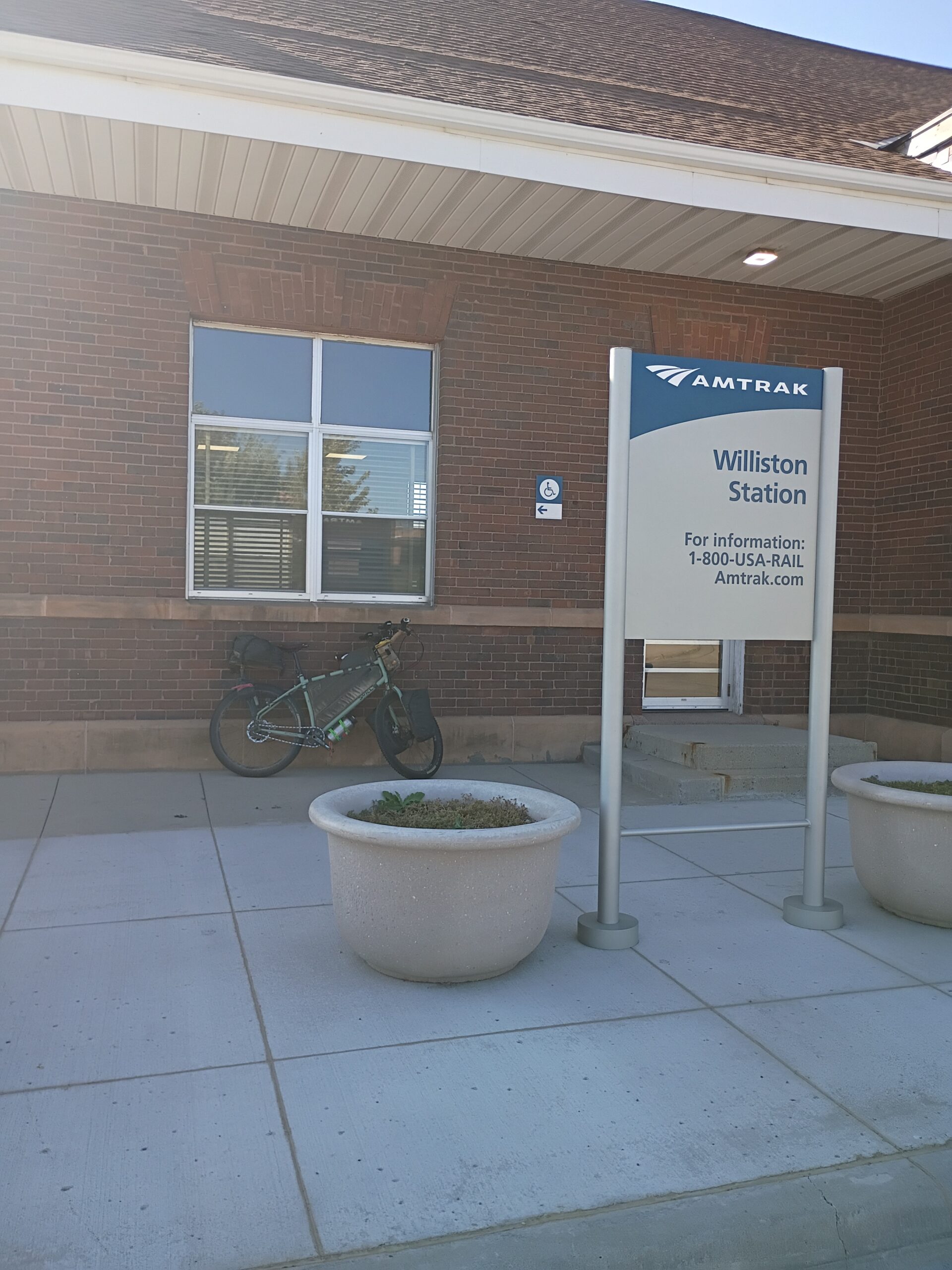
- For thru riders of the full Great Plains Gravel Route, your best bet for onward transit is in Williston. There is a regional airport with service on Delta, United, and Sun Country. There is also an Amtrak station in Williston with bike service available.
- You could choose to ride back from the border to Fortuna or Williston or you can arrange transport in Fortuna back to Williston.
-
Licensed Williston Taxi Companies with service to Fortuna include:
- Airport Express: 701-580-1505
- All Cities Taxi: 701-770-7701
- City Taxi: 701-339-7986, 701-770-7777
- Mr. Kab: 701-609-7937
- TransportME: 701-609-4878
- Lyft/Uber
- Find the full route collection for the Great Plains Gravel Route in Ride with GPS here.
- The Maah Daah Hey Trail is a 144-mile non-motorized single track through the Badlands of North Dakota. The trail runs parallel and intersects with the Great Plains Gravel Route in several locations between mile 75 and 140. Learn more about the trail via the Maah Daah Hey Trail Association‘s website or Save The Maah Daah Hey, an organization founded by the creator of this route, Nick Ybarra. Some great loop routes could be created if riders were looking to ride a section of the Maah Daah Hey and complete the route via gravel roads.
Nick Ybarra created and stewards this segment of the Great Plains Gravel route.
Here is a little about Nick in his own words:
I live in Watford City, ND. My wife and I founded the Maah Daah Hey 100 Mountain Bike Race in 2012, after the experience of riding it myself changed my life forever. Soon after, we launched the Badlands Gravel Battle in 2015. We absolutely love offering opportunities for adventurous folks to experience the unexpected, raw and rugged beauty of the North Dakota Badlands.
While Nick is unavailable available to answer specific trip planning questions, please get in touch with any updates on route conditions that may be relevant to other riders.
We also really want to hear trip reports from early riders of the route.
Please submit your questions and comments on the route via the contact form below.
This route traverses the traditional lands of the Jiwere, Pawnee, Cheyennem Oglala, Sicangu, and Arapaho.