Segment Overview
Route Creator
Miles
Days Out
Recommended Tire Size
Season
Elevation Gain
Difficulty
2/10 Technical
Primary Surface(s)
Rough Gravel

Route Map
Route Details
Riders will travel by iconic Nebraska sites such as the State Capitol of Lincoln, Ole’s Steakhouse in Paxton, Lake McConaugh, Carhenge, the Nebraska National Forest, Fort Robinson State Park, the Oglala National Grassland, and Toadstool Geological Park.
The stars at night in Central and Western Nebraska will take your breath away!
The Nebraska segment of the Great Plains Gravel Route will be a beautiful and fun challenge for any participant if completed as a single State or as part of the entire Great Plains Gravel Route. The Nebraska route traverses part of the Dissected Till Plains region in the East with gentle rolling hills and the Great Plains region in the Central and Western part of the state. The route will display the unique geography of the State while traveling on rural back roads for over 800 miles of mostly gravel and dirt roads. There are many iconic Nebraska destinations along the route, including the State capital Lincoln, the sandy canyon lands of Central Nebraska, Lake McConaughy, Fort Robinson, State Park, the quirky pop-culture icon of Carhenge, and Toadstool Geological Park. The small rural communities along the route will serve as resupplies and provide great opportunities to learn more about the people and the places along the way.
The Nebraska segment of the Great Plains Gravel Route covers over 800 miles from the southeast section of the state on the Kansas line to the northwest border with South Dakota. Nebraska has a very diverse landscape, and the route will showcase The Chief Standing Bear Trail and Homestead Trail which are rails to trails section in the eastern side, the farmlands throughout the central region, the Sandhills area out west, and finally the canyons and Oglala National Grassland at the South Dakota border. The route would be best traveled from late spring to early fall. The weather can change fast, and afternoon thunderstorms are always a possibility.
The route can be traversed on a gravel bike and preferably with 700×45 or bigger tires. The first half of the route you are usually close to bigger towns with good resupply. As the route gets further west, your options to resupply get a little farther between towns. The longest section without resupply is from Lewellen to Alliance, which is around 100 miles. You will pass through the cities of Lincoln, which is the State Capital, along with Kearney, North Platte, Ogallala, Alliance, and Crawford.
There are many camping opportunities along the route including Potter’s Pasture southeast of North Platte, Lake Ogallala at the base of Kingsley Dam, Jeske’s Over The Hill Campground that is adjacent to Carhenge, or Fort Robison State Park outside of Crawford.
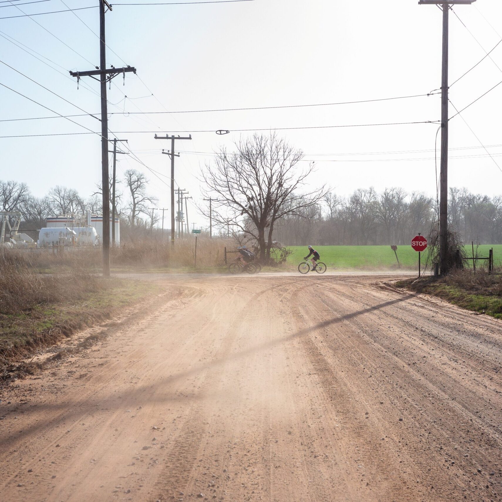
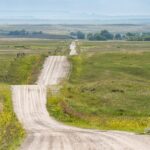
Most of the gravel roads are well maintained, but there are a few sections that are less traveled. In case of moisture, some of the less maintained roads will be very muddy. In the western part of the route will go through the Sandhills (south of Alliance) and the roads live up to their name of being sandy. This is where the bigger tires will be appreciated.
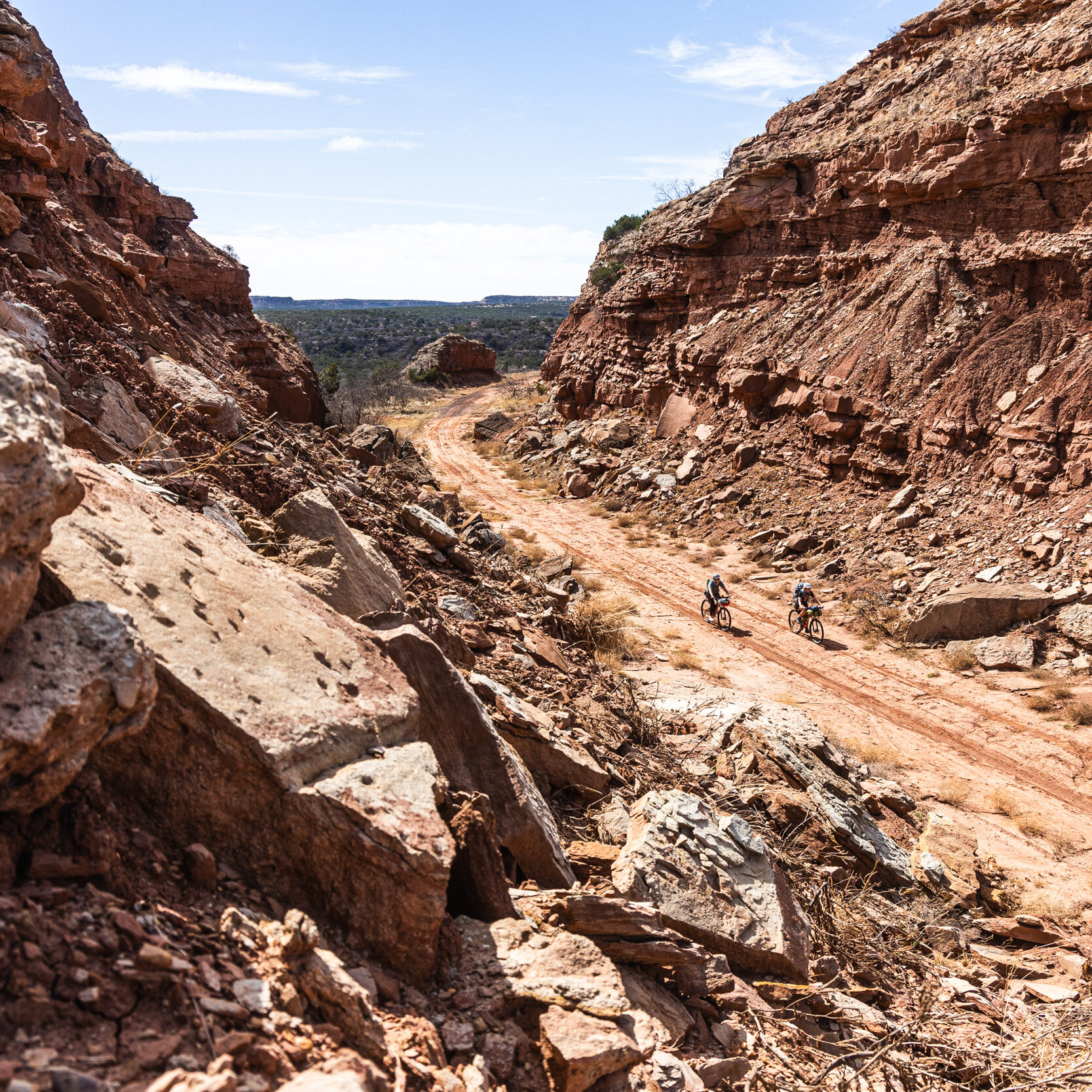
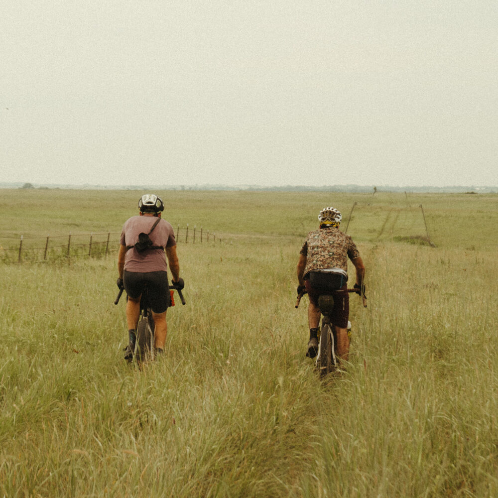
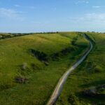
The Nebraska segment of the Great Plains Gravel Route really covers everything that Nebraska has to offer and then some. The eastern sections will go over the farmland along the Platte River, but as you get further along, you will encounter canyons with tree lined roads. Once you reach the Sandhills, you will cover miles of open prairie with cows and other wildlife. As you reach the northwest section, you will be along the Pine Ridge National Recreation Area and the Oglala National Grassland. Here you will encounter some of the unique geological features the state has to offer.
- Paved: 14%
- Smooth Gravel: 60%
- Rough Gravel: 25%
- 4×4 Road: 1%
- Singletrack: 0%
- Riders can park in Beatrice, Nebraska for the south part and Crawford, Nebraska on the northern part.
- Having a means to treat surface water for drinking is suggested along this stretch of the Great Plains Gravel Route, although resupply options are never too far away for most of the route.
- Water access from Lewellen to Alliance is limited. Plan accordingly!
- Find the full route collection for the Great Plains Gravel Route in Ride with GPS here.
- Nebraska: The Gravel Life Film –
Corey Godfrey created and stewards this segment of the Great Plains Gravel route. Paul Brasby, Robb Finegan, Matt Sherman, Mike Marchand and Joe Billesbach also contributed to creating this segment.
Here is a little about Corey in his own words:
I’m based in Lincoln, Nebraska and have been a cyclist for over 25 years, with experience bikepacking for over 15 years. I completed the 2016 Tour Divide and the Monumental Loop in 2023. I’ve never created a large bikepacking route before, but have worked on gravel event routes for over a decade as a promoter of Gravel Worlds based in Lincoln, Nebraska.
Corey has offered to be available to answer questions if you are planning a trip on this route.
Please also get in touch with any updates on route conditions that may be relevant to other riders.
Please submit your questions and comments on the route via the contact form below.
This route traverses the traditional lands of the Jiwere, Pawnee, Cheyennem Oglala, Sicangu, and Arapaho.