Route Overview
Region
Miles
Days Out
Recommended Tire Size
Season
Elevation Gain
Difficulty
5/10 Technical
Primary Surface(s)

Route Map
Route Details
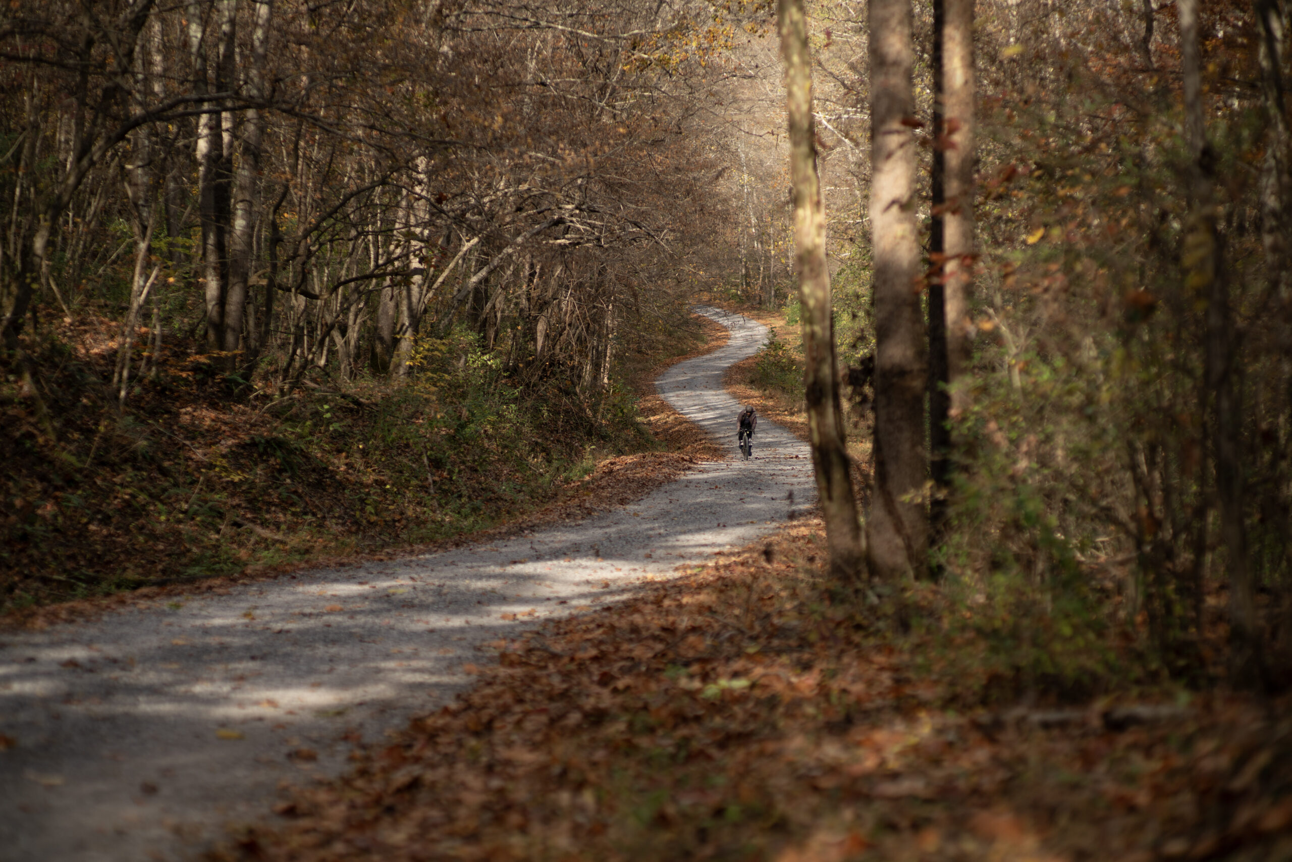
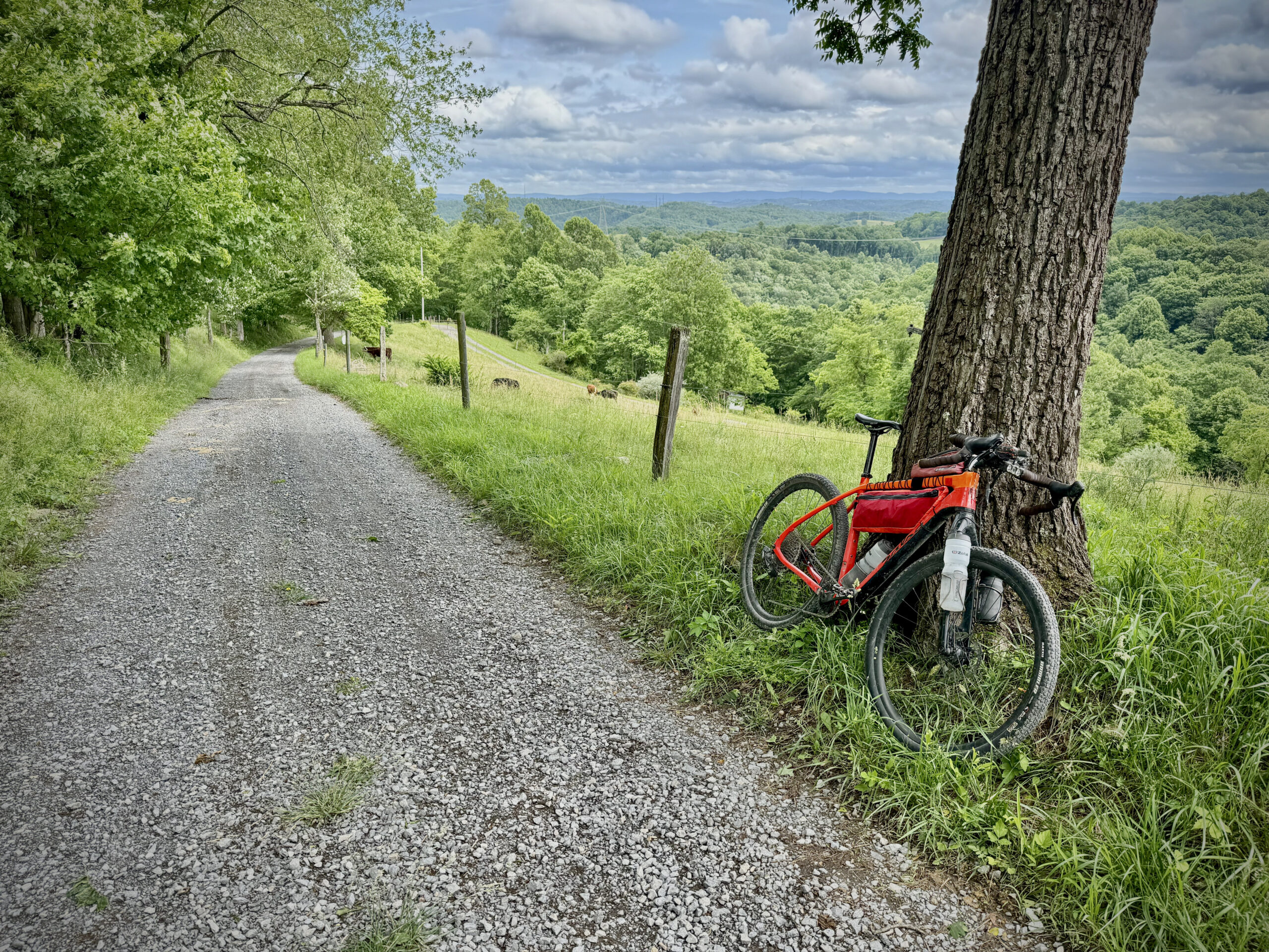
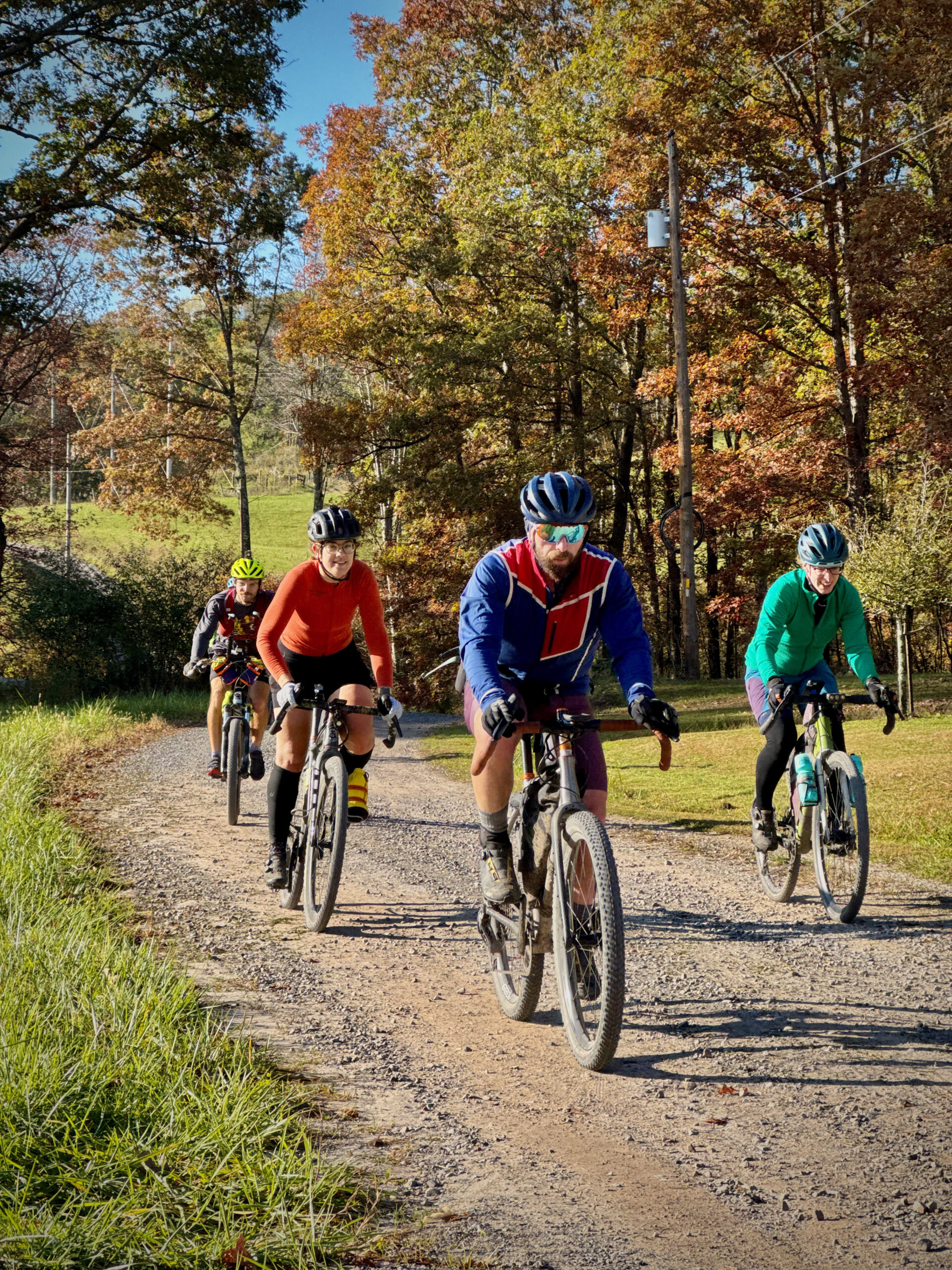
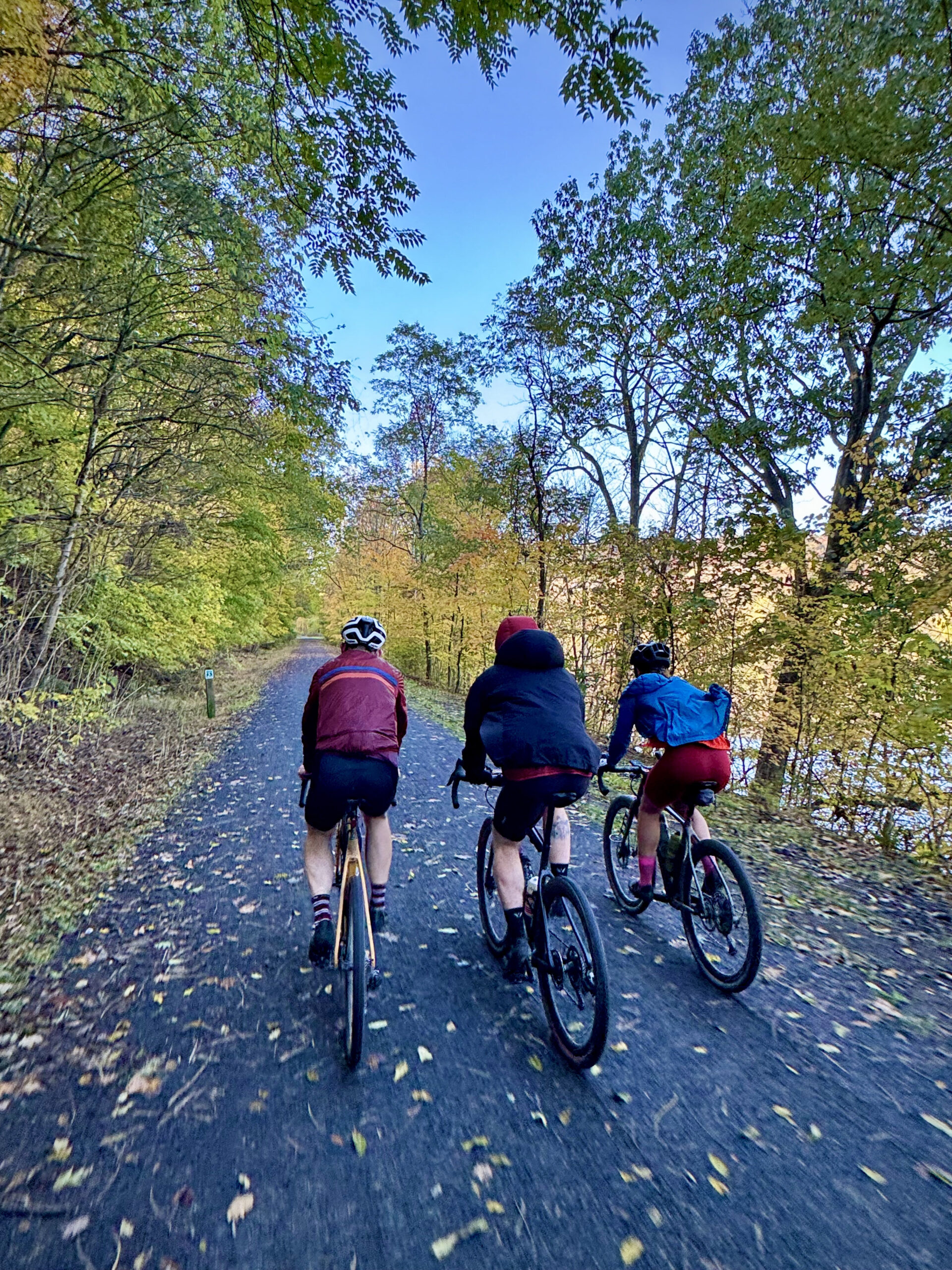
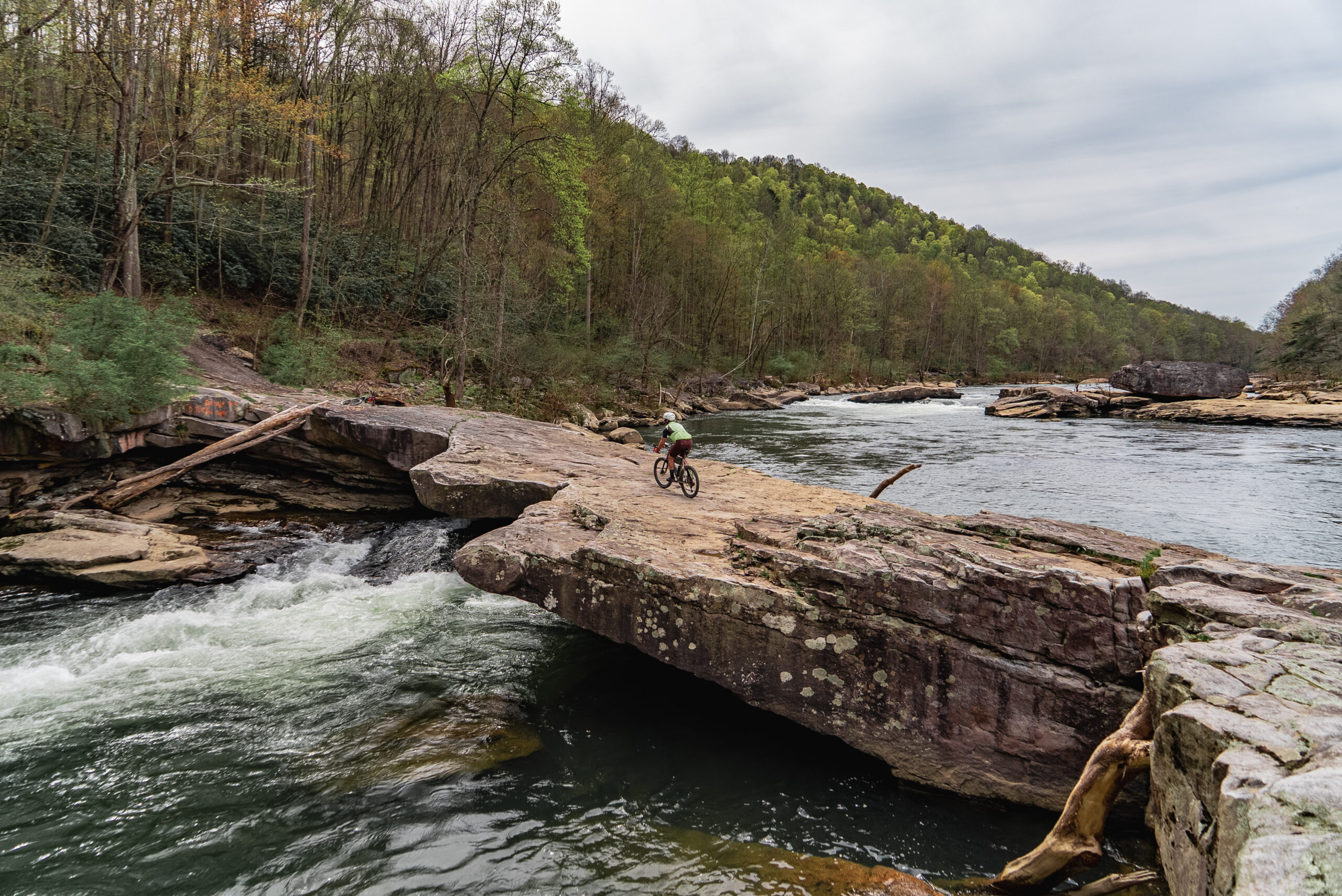
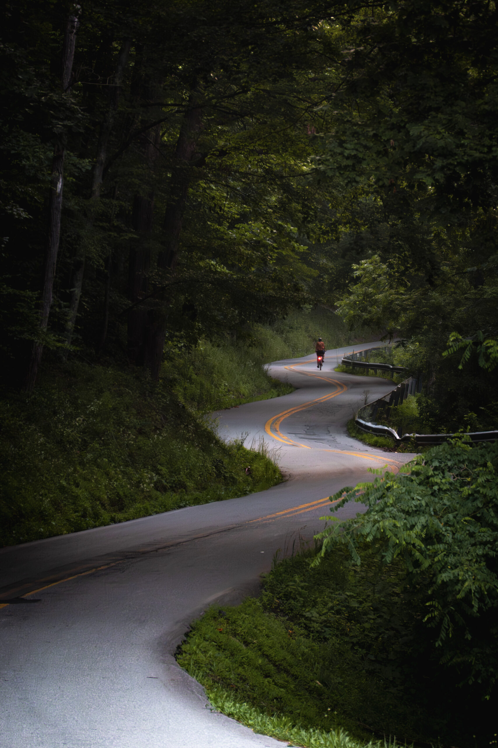
This epic bikepacking sojourn takes you on a grand tour off the beaten path across all the quirky sites of north-central West Virginia’s Mountaineer Country region. Spanning four counties and numerous rivers, rugged forgotten tracks, and cryptid folklore, this route is not for the faint of heart or fitness— its challenge is worth the reward.
- Bruce Mills area’s rugged farmland along the higher creeks and ridges that flow into the Cheat River
- Cuzzart’s Screech Owl Brewing offering bikepacker camping
- Cranesville Swamp wetlands area
- Aurora’s Carriage House Bakery
- Silver Lake’s Our Lady of the Pines – smallest chapel in the lower 48
- Laurel Mountain’s western slope rugged gravel leading into the Belingon Bakery
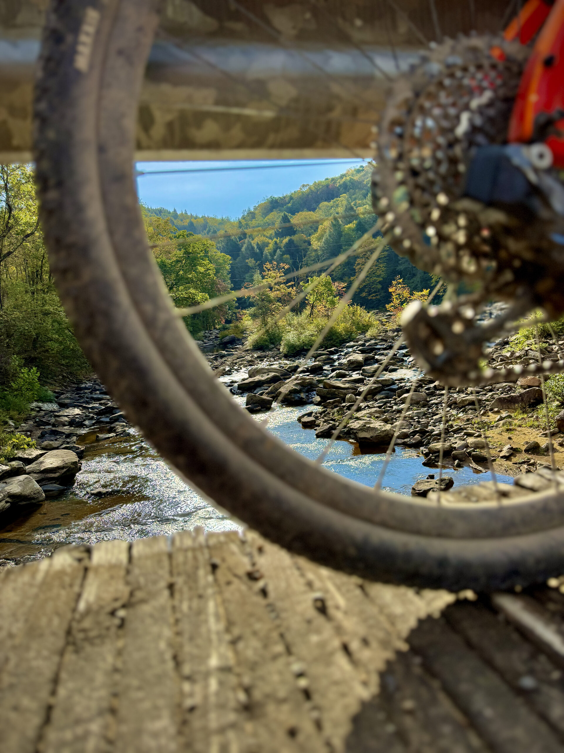
- Hanging Run where road becomes creeks
- Audra State Park’s swimming holes & Alum Cave
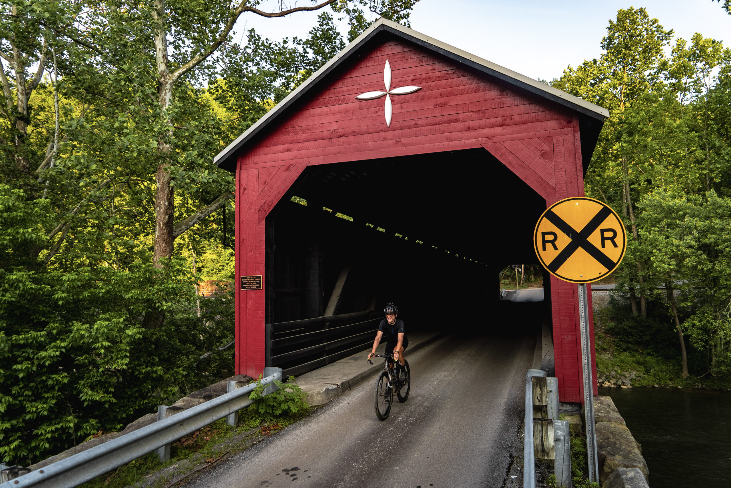
- Philippi covered bridge and mummies
- Grafton’s cryptid folklore, Mother’s Day history, and nearby Tygart Lake State Park
- Company’s Comin’ Murray’s diner in Fellowsville
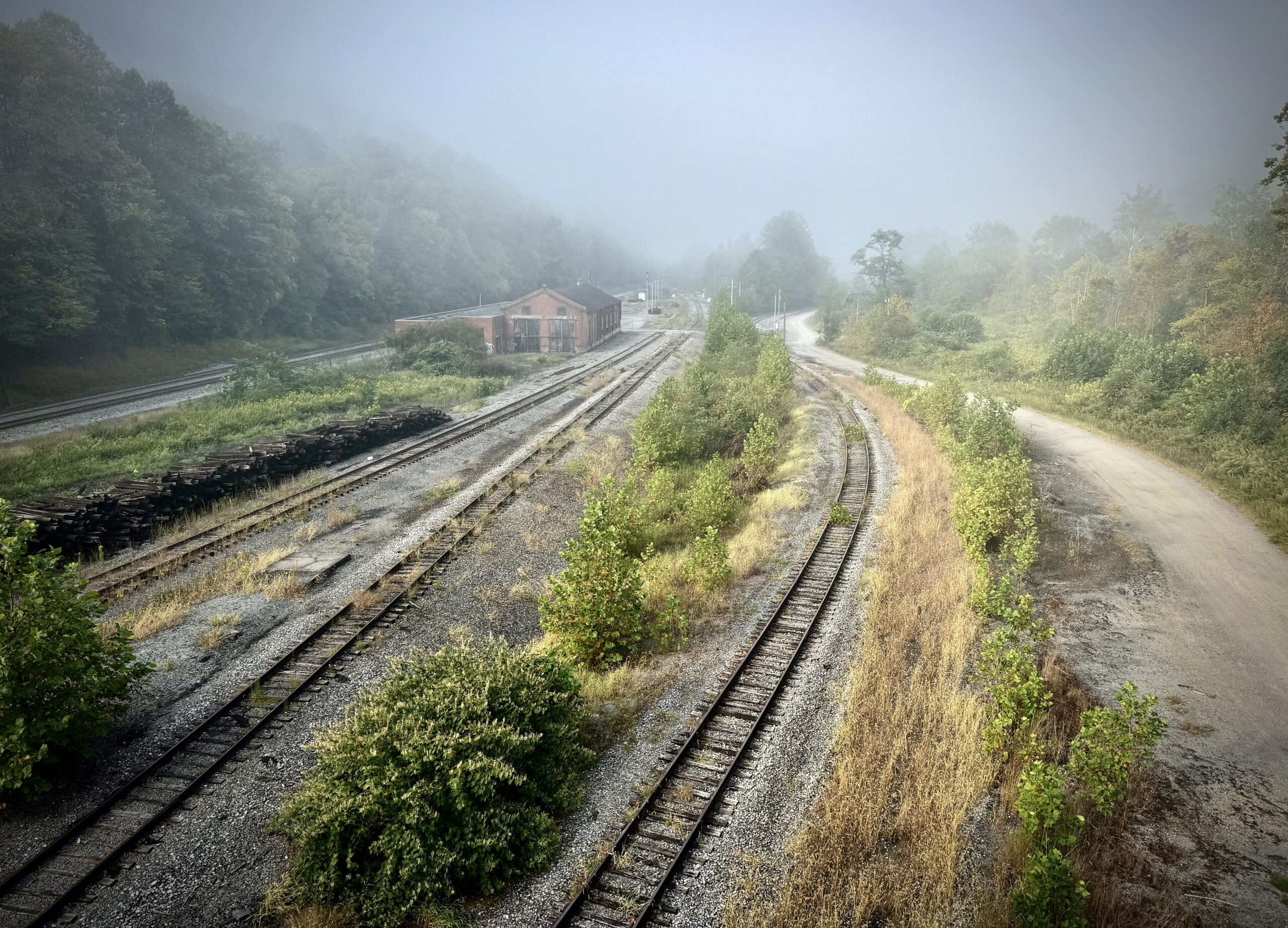
- Rowlesburg’s Canon Hill and railroad heritage
- Riding around the Cheat River Canyon through Albright and climbing the Little & Big Sandy Creek watershed
- Jenkinsburg Bridge and swimming in Blue Hole
- The “Moth Wing” 4×4 tracks near Bunner’s Ridge
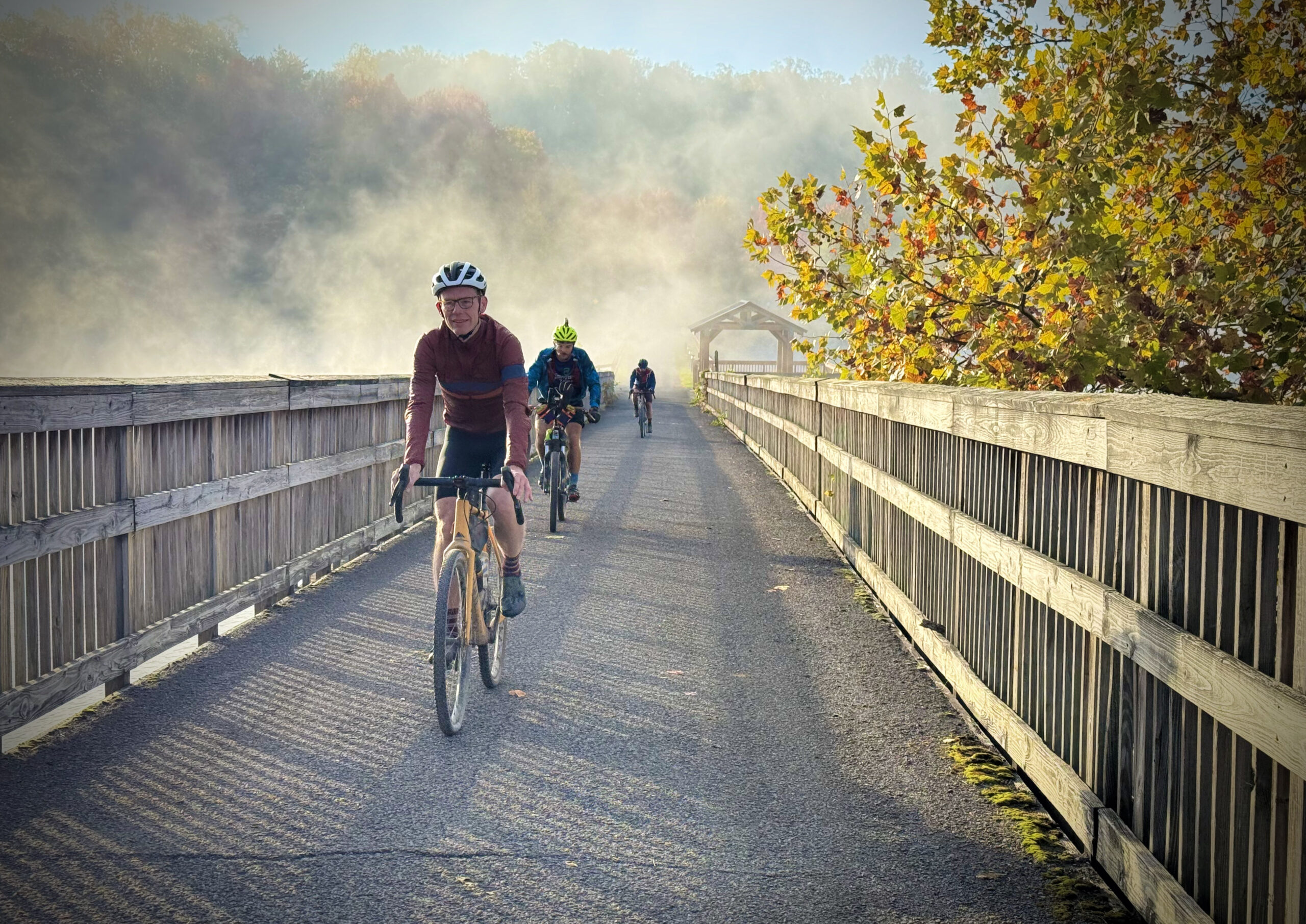
- Decker’s Creek Rail Trail downhill to Morgantown, with waterfalls and swimming holes
- Morgantown historic center with full services (hotels, restaurant, bike shops)
- Mon River Rail Trail north to the Pennsylvania state line
- Cheat Lake and the final climb up to Chestnut Ridge and Coopers Rock State Forest
The Mountaineer Monster 465 is the flagship bikepacking route of the Mountaineer Gravel network – an unforgettable grand tour through the wild backroads of north-central West Virginia. Covering 465 miles and nearly 48,000 feet of climbing, this challenging loop winds through four counties, linking forgotten gravel roads, rugged mountain ridges, quiet river valleys, rail trails, historic towns, and some of the region’s most unusual roadside attractions. From cryptid folklore and covered bridges to mountain bakeries and hidden swimming holes, the route showcases both the natural beauty and quirky character that define Mountaineer Country.
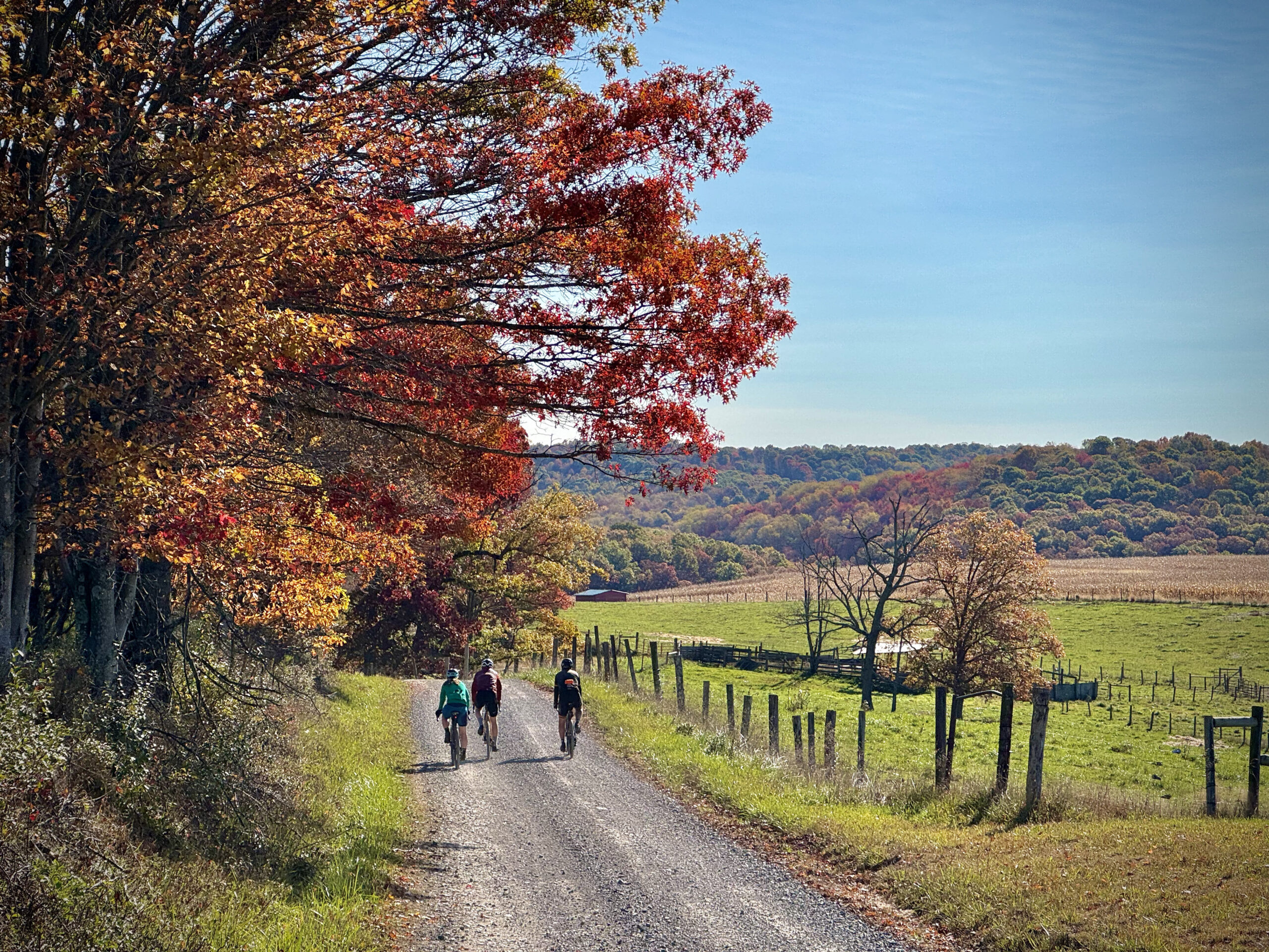
While the route is physically demanding, it rewards riders with an incredible variety of landscapes and experiences. Expect long stretches of quiet gravel through the high ridges above the Cheat River, the unique wetlands of Cranesville Swamp, the mountain community of Aurora, the remote western slopes of Laurel Mountain, and the creek crossings of Hanging Run. The route also visits Audra State Park, historic Philippi and its famous covered bridge, Grafton, Rowlesburg’s railroad heritage, the spectacular Cheat River watershed, the rugged “Moth Wing” 4×4 tracks near Bunner Ridge, the flowing descent of the Decker’s Creek Rail Trail into Morgantown, and finishes with one final climb through Chestnut Ridge and Coopers Rock State Forest.
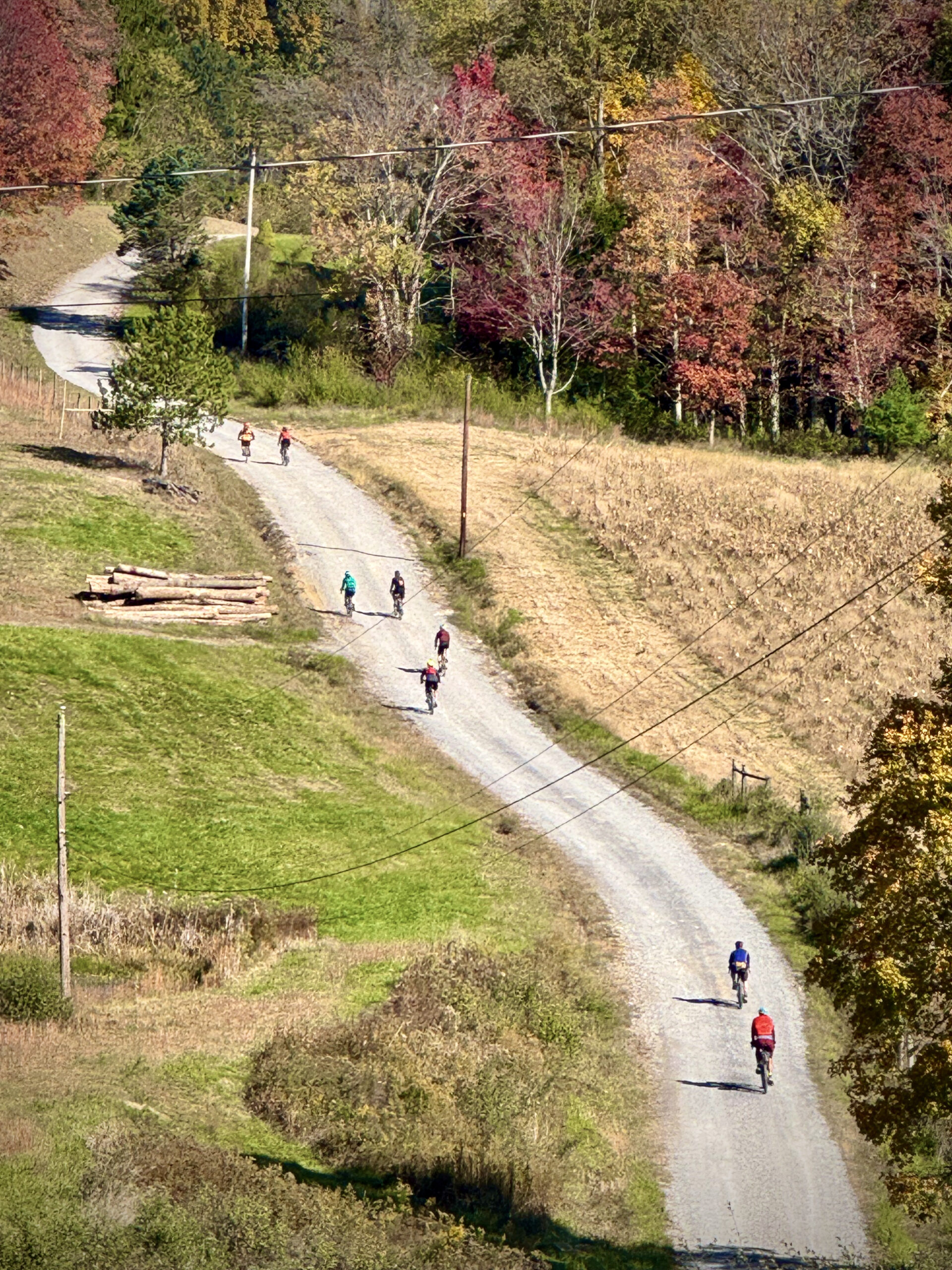
This is a route built for riders who enjoy big days and remote roads. Although over half of the route is gravel and another 6% follows rough 4×4 tracks, the technical riding is generally moderate. The challenge comes from the relentless elevation gain, frequent steep grades, rough road conditions, and long distances between services in some areas. Riders should expect loose gravel, rocky surfaces, washouts, muddy sections after rain, and occasional roads that feel more like old forest tracks than maintained county roads. Tires of at least 2 inches are recommended, and gearing for sustained double-digit grades will make the experience considerably more enjoyable.
Resupply and lodging opportunities vary considerably throughout the loop. Morgantown offers full services, while many of the smaller communities provide only limited food or lodging options with seasonal or reduced operating hours. The Ride with GPS route includes numerous points of interest for camping, lodging, restaurants, and resupply, but riders should still verify hours and make reservations whenever possible. State parks, private campgrounds, inns, hotels, and bed-and-breakfasts provide excellent overnight options, while dispersed camping is not permitted in West Virginia state parks or Wildlife Management Areas. Because the route is both physically demanding and slower than mileage alone suggests, it’s wise to build flexibility into your itinerary and avoid overcommitting to ambitious daily distances. For a shorter bikepacking route that skips some of the southern sections of the 465, check out the 275-mile Monster.
Those who complete the Mountaineer Monster will experience one of the most comprehensive bikepacking adventures in Appalachia—a route that blends rugged mountain riding, small-town hospitality, fascinating local history, and countless memorable moments into a ride that is every bit as rewarding as it is challenging.
- Paved: 43%
- Gravel: 51%
- 4×4 Road: 6%
- Singletrack: 0%
The Mountaineer Monster 465 is a winding, circuitous route. If great attention is not paid to the route and cues of the course, there are several sections where missing a turn and continuing straight could skip several miles of the route, have you going in the wrong direction on the route, or a combination of the two.
There are sections where the same road is used twice, in different directions at wildly different mile markers. There is an out-and-back on Cannon Hill outside of Rowlesburg.
A variety of overnight options exist along the Mountaineer Monster routes: state park camping, private campgrounds, Airbnbs, hotel chains, local inns, and bed & breakfasts. Many (certainly not all!) of these options are listed on- and off-route as POIs in the RWGPS file.
Do not camp on private property. Wild camping is not permitted in Wildlife Management Areas or state parks (unlike National Forests). Use established campsites and be mindful of online booking systems and reservations; often, it is the best bet to call or reserve ahead of time, as there may be limited options the night of. Remember this route is quite challenging and may take longer than anticipated. Be realistic about your capabilities when making reservations and planning your accommodation timeline.
Notable climbs on the 465:
- Hile Run (Mile 101.9): This 5.4-mile climb gains 1,417’ along a mostly gravel road, with a max grade of 15.8%
- Bull Run (Mile 123.3): 6.3-mile unpaved climb gains 1,482’ out of St. George, max grade of 16.4%
- Caintown (Mile 267.5): Mostly unpaved 5.6-mile climb with a max grade of 11%, gaining 1,030’.
- Rowlesburg (Mile 279-292): There are three significant climbs following Rowlesburg (Calvert Shaver, Lanz Ridge), totalling 2,792’ in the 13 miles, with a max grade of 14.3%.
- Salt Lick (Mile 297.5): 6.1-mile unpaved climb, gaining 1,311’, with a max grade of 13.5%
- Blue Hole (Mile 353.4): The longest climb, at 7.3 miles, gains 1,674’ with a max grade of 14.9%.
- 4H / Gum Springs (Mile 413.5): This 6.5-mile gravel climb gains 1260’ with a max grade of 12%.
- Chestnut Ridge (Mile 464.8): This 3.9-mile, mostly gravel climb, gains 1,323’, with a max grade of 16.9%. The finish line is at the end of this climb, and riders are sure to find this as quite the finale!
In addition to challenging climbs and steep hills, be prepared for “roads” and poorly maintained tracks that have rough surfaces and may be wet, rutted, and rocky.
Various sections of the route have infrequent resupply and lodging. Riders should study the resupply opportunities and hours of operation closely to ensure that they have the resources (nutrition & hydration) to ride safely between resupply points.
Find more information to prepare for your Mountaineer Monster adventure on the route hub page.
We acknowledge that the lands these routes traverse are the ancestral homelands of Indigenous peoples, including the Shawnee, Massawomeck, and Osage, who stewarded these mountains and rivers for generations. We honor their enduring connection to this land and recognize that their histories and cultures continue today, and we offer this acknowledgment with respect and gratitude.
Please be sure to get in touch with any updates on route conditions that may be relevant to other riders.
Please submit your questions and comments on the route via the contact form below.
Route network design and content publication by David Landis of V2V Trails.
Special thanks to the Visit Mountaineer Country team for supporting and promoting this gravel route development project! And to local & regional riders for route suggestions, feedback and inspiration, especially AJ Delauder, Alden Roth, Andrew Walker, Andy Williamson, Chuck Morris, Corey Lilly, Ethan Flanigan, Jacob Rex, Jason Martin, Jennifer Walker, Joanna Friesen, JR Petsko, Kayla Hall, Katie Wolpert, Larry Paris, Mike Miller, Nathan Fetty, Nick Morales, Rachelle Thorne, Thad Kelley, and Travis Olson.

Visit the Mountaineer Monster Bikepacking Hub Page. Check out the full Mountaineer Gravel Route Network.